
Menu
Suggested searches
Your search found 2418 results...

 2.4
km
return
2.4
km
return
 45
mins
45
mins
Sherbrooke Falls
Dandenong Ranges National Park
Pleasant walk through ferns and majestic Mountain Ash to Sherbrooke Falls. Falls are best after rain.
 7.6
km
return
4.5
hrs
7.6
km
return
4.5
hrs
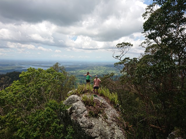
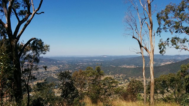
Mount Samson
D'Aguilar National Park
Sorry, this walk is now closed. This area is now private property, no entry is permitted.
 7.5
km
return
2
hrs
7.5
km
return
2
hrs
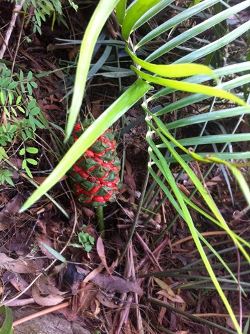
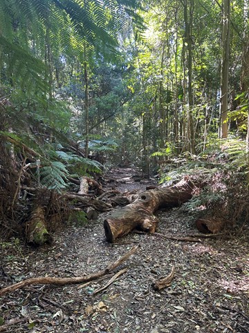
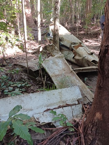
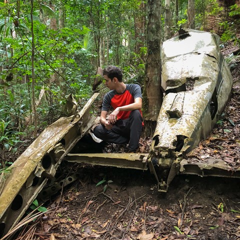
Piper Comanche Wreck
D'Aguilar National Park
A walk to the remnants of an aeroplane wreck.
 9
km
one-way
2.5
hrs
9
km
one-way
2.5
hrs
Diamantina Boulevard to Borallon Station Road - Part of BVRT
Brisbane Valley Rail Trail
10kms easy walking along the old Brisbane Valley Rail Trail. Passing old stations (or where they used to be, signs have been erected) of Muirlea, Pine Mountain and Borallon. Great for birdwatching. I would recommend for a winter walk - dappled shade, but would get very hot very quickly in summer.
10
km
one-way
2.5
hrs
Borallon Station Road to Fernvale - Part of BVRT
Brisbane Valley Rail Trail
This is a nice part of the BVRT, the scenery changes quite a bit along the walk, bush track to farm land to open pasture looking out to the mountains. You'll need to do a quick crossing of the Brisbane Valley Highway, easy, but just keep your wits about you. Along the way you'll pass Wanora and Fairney View stations. Just after Fairney View is a lovely little creek where a bridge once crossed, a nice spot for a break. After this there is the slightest of inclines, but that incline continues all the way to Fernvale. But once there you've got a great excuse for a pie!
8
km
one-way
2
hrs
Fernvale to Lowood - Part of BVRT
Brisbane Valley Rail Trail
For the most part this section of the walk follows beside the Brisbane Valley Highway ie it gets noisy and there really isn't much in the way of shade at all. However, the views are nice looking out towards to the mountains and onto Lowood. Heading in to Lowood you'll meet up with a bend in the Brisbane river with some lovely views downstream, and a large colony of bats making home in the trees. Arriving into Lowood, you'll be rewarded with the first section of actual railway for the trail; Lowood was the original terminus for the BVRT. Lowood has a pub, bakery and nice cafes for refreshments.
 3.3
km
one-way
90
mins
3.3
km
one-way
90
mins
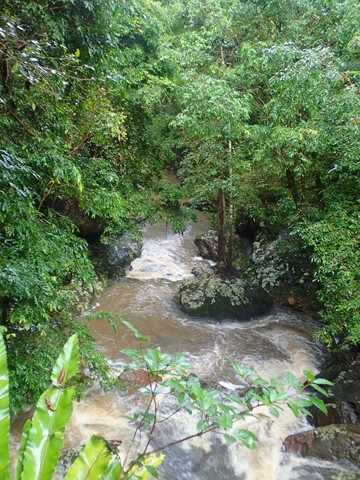
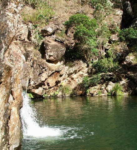
Baxter Falls - Northern Approach
Kondalilla National Park
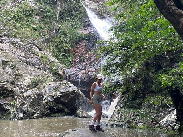
This walk leads through open eucalypt forest, dropping almost 300m down to the suspension bridge across Baxter Creek and the Falls to your left. The water falls into a 'bowl', before cascading into the bottom of the creek. Access to the 'bowl' is thought to be by bush bash to the left, but was not tracked.
 4
km
return
2
hrs
4
km
return
2
hrs
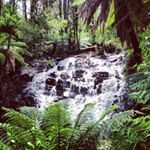
Cumberland Walk
Yarra Ranges National Park
This easy walk through beautiful rainforest includes waterfalls, views and spectacular trees including The Big Tree - the tallest known living tree in Victoria. The walk also visits Cora Lynn Falls, Cumberland Falls, the Sitka Spruce planted by a forest ranger over 60 years ago and Sovereign View, a lookout over the Armstrong Creek Valley towards Warburton.
 1
km
return
30
mins
1
km
return
30
mins
Lophostemon Walk
D'Aguilar National Park
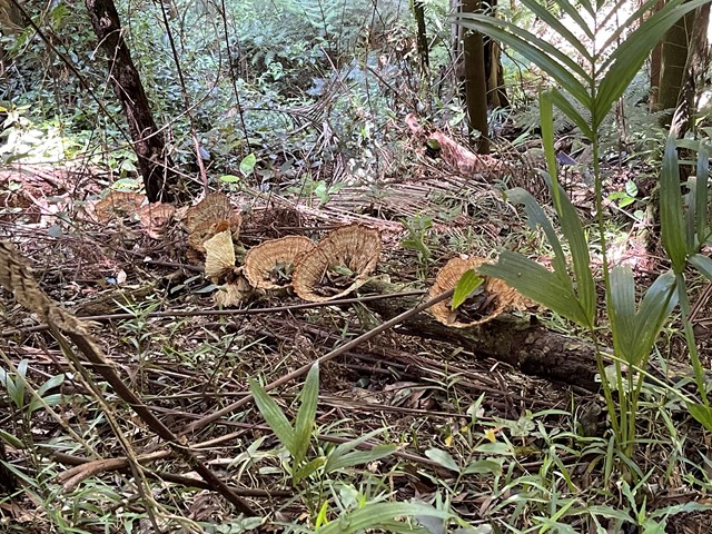
A short circular stroll following and crossing Neurum Creek.
 600
m
return
30
mins
600
m
return
30
mins
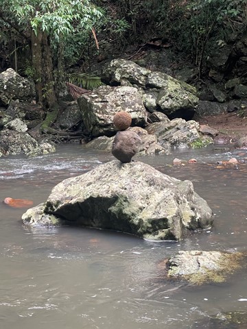
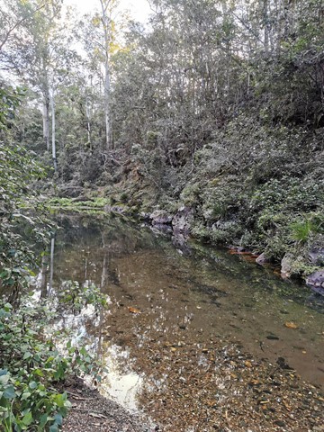
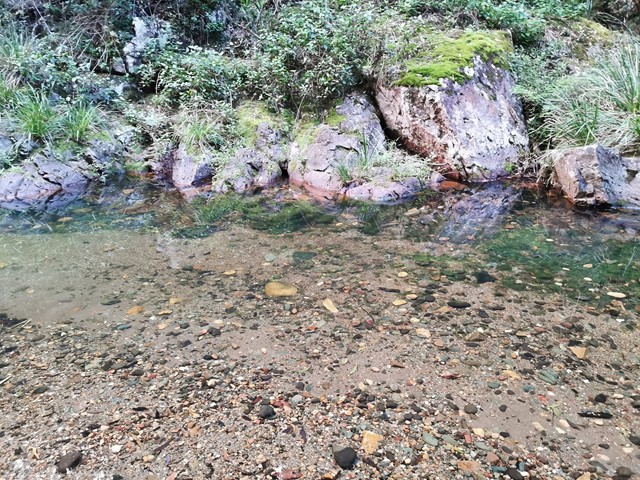
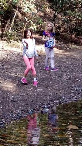
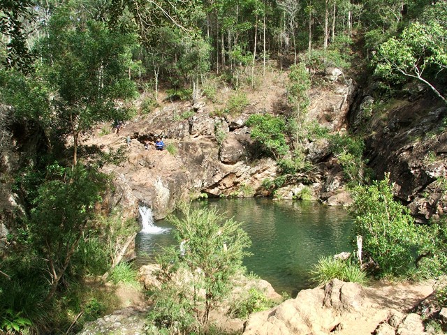
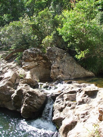
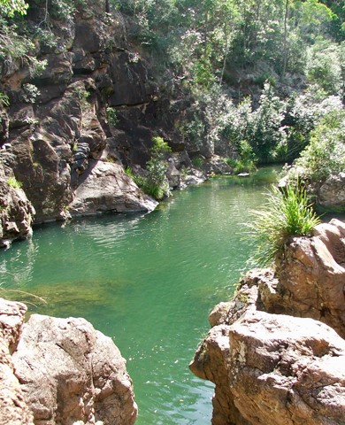
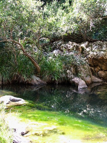
Rocky Hole
D'Aguilar National Park
A short walk down to the crystal clear cooling waters of Rocky Hole for a very welcome swim on a hot day.