
Menu
Suggested searches
Your search found 2418 results...

 5.5
km
return
5.5
km
return
 2
hrs
2
hrs
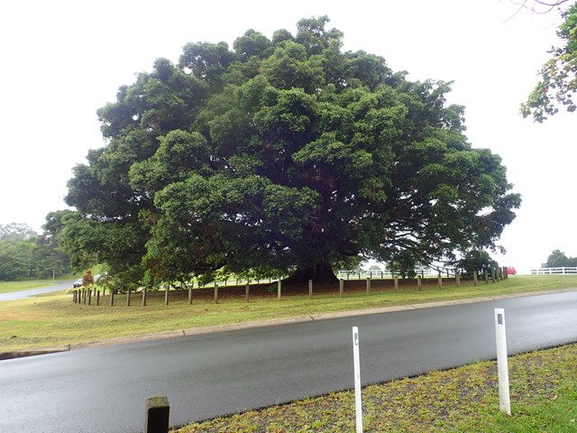
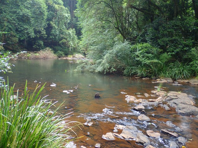
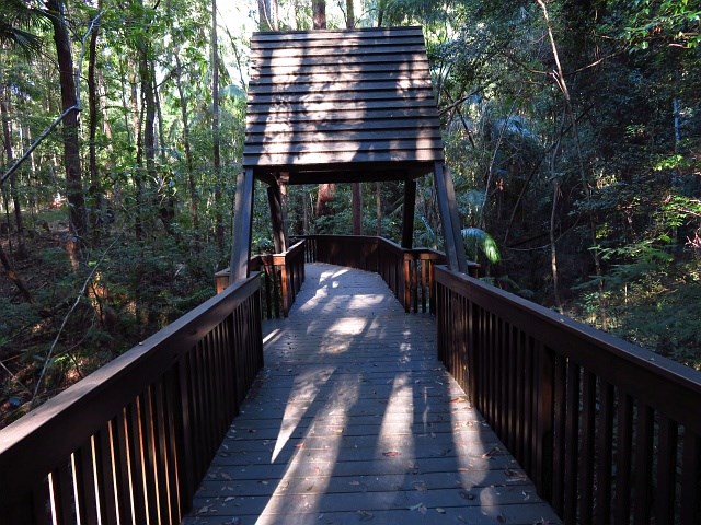
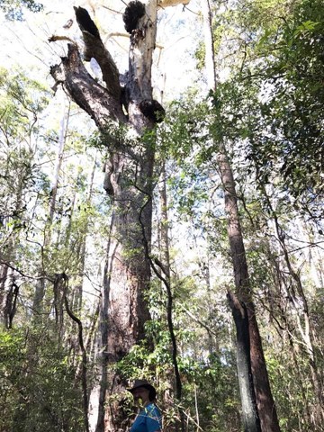
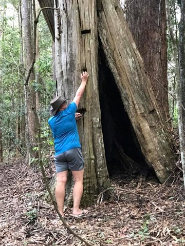
Maleny Trail (Peace in the Trees Circuit)
Sunshine Coast
A leisurely walk along Obi Obi Creek from the boardwalk in town to the Golf Club and back, that passes the sculptured 'Peace in the Trees', '5th Light Horse Regiment Beersheba Museum', 'Platypus Viewing Area', 'Southern Wetlands' and historical buildings of the once 'Fairview Dairy Farm'.
 1.6
km
return
1
hr
1.6
km
return
1
hr
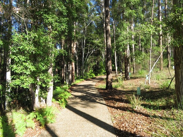
Lagoon Walk
Sunshine Coast
A circular walk in the Maroochy Botanic Garden, this popular natural terrain bush track follows the banks of the lagoon. The open forest ecosystem has remnants Bloodwood, Blue Gum and Tallowwood in the canopy, while Piccabeen Palm and Tree Ferns fringe the rocky gullies and bridges along the track.
 20.6
km
return
5
hrs
20.6
km
return
5
hrs
Caboolture Rail Trail
Moreton Island National Park
The walk follows the old Wamuran Rail line from Beerburrum Road, Caboolture to Nasho's Park, Wamuran. There are a couple of bridges to negotiate but the fences have openings to allow walkers. There are some roads to cross with caution. Lots of tree cover and plenty of scenery.
 8
km
return
2
hrs
8
km
return
2
hrs
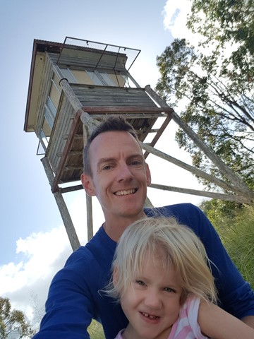
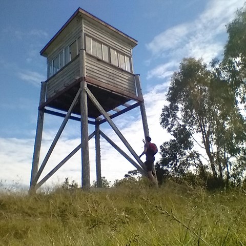
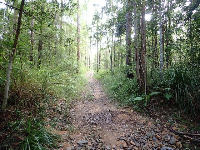
Amamoor State Forest Lookout
Amamoor State Forest
This is a shared trail for 4wd , Motorbikes , horse riders and hikers. This one starts opposite the 2nd car park entrance of Amama day-use area. You noticed a gate when looking up, just follow.
Follow the track to the right at the first intersection , then to the left at second intersection , then again keep following to the left. You will hit a rather steep section again full of rocks and gravel leading up to the lookout tower. Notice there's currently no ladder to get into the tower yet still have nice views though.
 4
km
one-way
1
hr
4
km
one-way
1
hr
Wulkuraka Station to Diamantina Boulevard - Part of BVRT
Brisbane Valley Rail Trail
This first part of the BVRT (Brisbane Valley Rail Trail) is only 3.8kms of very easy walking along paved pathways between residential and bushland. As the name suggests this is along the old Brisbane Valley Railway, the whole trail is approximately 161kms finishing in Yarraman.
 11
km
return
9
hrs
11
km
return
9
hrs
Mount Ernest
Mt Barney National Park
IMPORTANT: The route to Mount Ernest from Yellow Pinch via the northeast ridge involve traversing private property. You should contact NPRSR to obtain contact details for the landowner in order to obtain permission to enter private property.
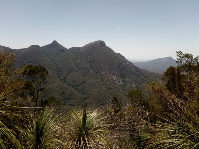
Mount Ernest lies on the opposite (northern) side of Mount Lindesay Highway from its namesake, and provides spectacular views of Mount Barney to the north. While much lower than the main peaks of Mount Barney, routes to the summit of Mount Ernest are less trodden take just as long.
 10
km
return
2
hrs
10
km
return
2
hrs
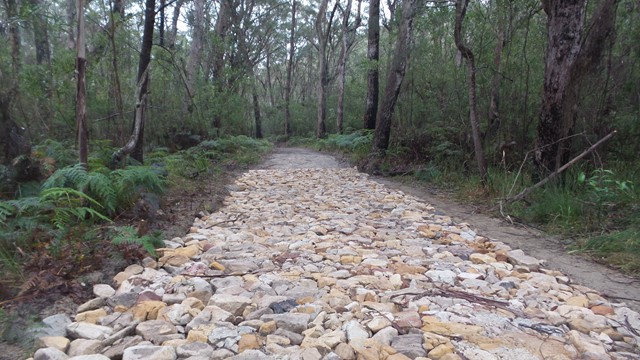
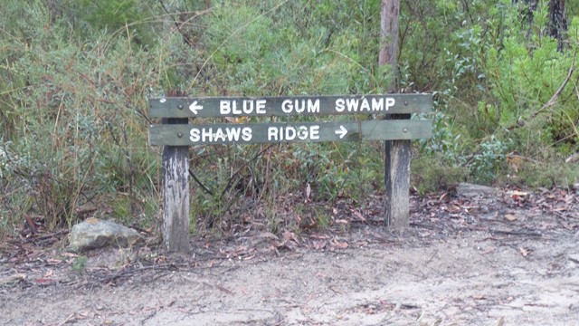
Blue Gum Swamp
Blue Mountains National Park
A circuit which consists of Shaws Ridge to the east and Springwood Ridge on the west. The trail descends into the valley which separates the two ridges through an area known as Blue Gum Swamp.
 3.1
km
return
1
hr
3.1
km
return
1
hr
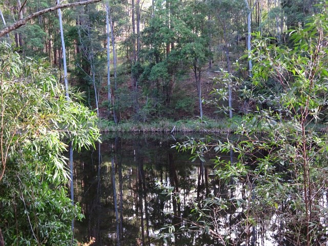
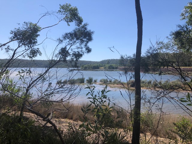
Cooloolabin Dam
Sunshine Coast
A very peaceful easy walk around one side of Cooloolabin Dam, with great views. Lots of bird life and visitors are allowed to fish from the banks.
 9.5
km
one-way
3
hrs
9.5
km
one-way
3
hrs
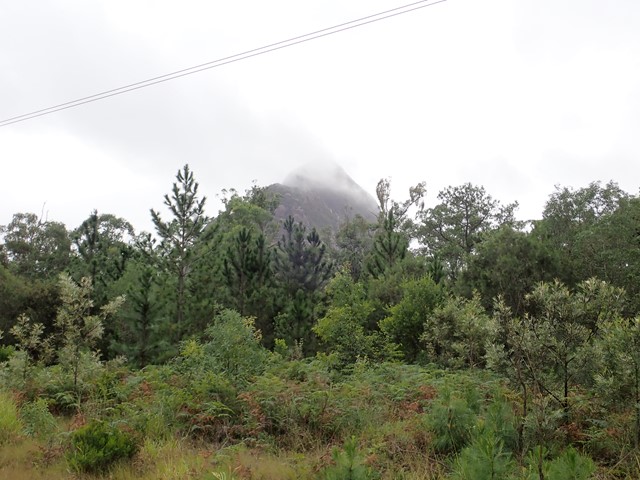
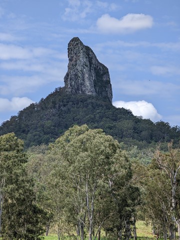
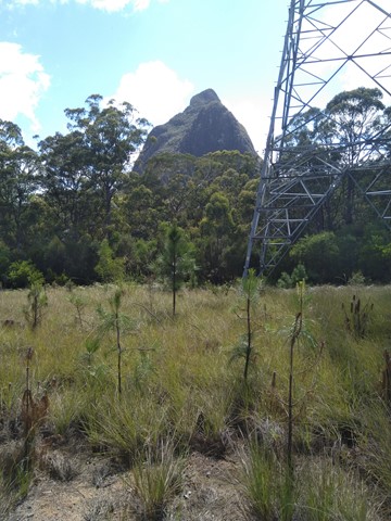
Mount Beerwah Base
Glass House Mountains National Park
This walk travels along tracks and roads that link to circumnavigate the base of Mour Beerwah. It gives great views of the mountain from different angles and its many faces.
 8
km
return
6
hrs
8
km
return
6
hrs
Shamrock Mine to Castle Mountain Lookout
Cania Gorge National Park
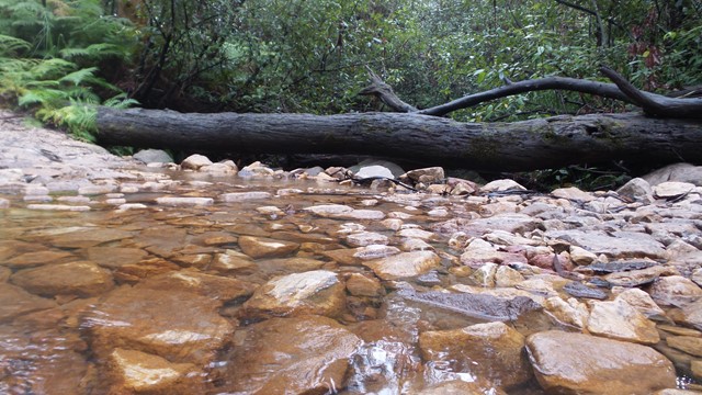
This walk follows a creek bed to the rock face, where you need to climb a dry waterfall, before using navigational skills to reach the fire trail that takes you to the lookout that provides stunning views of the dam, lake and gorge.