
Menu
Suggested searches
Your search found 2400 results...

 2
km
one-way
2
km
one-way
 30
mins
30
mins
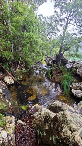
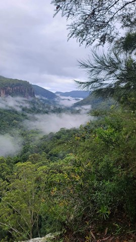
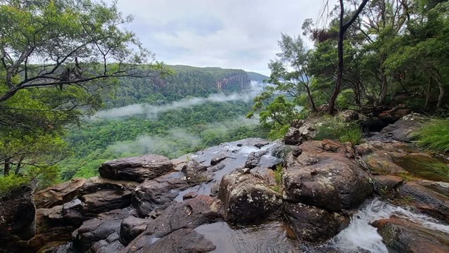
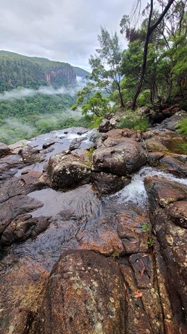
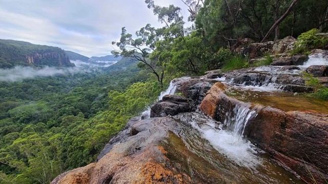
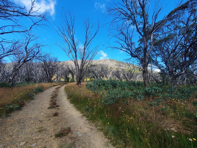
Goonengerry National Park Waterfall
New South Wales
An easy walk to the waterfalls that can be done as a loop.
 100
km
return
15
mins
100
km
return
15
mins
McConnell Lookout
Wide Bay Burnett
Lovely views of Burnett River, easy walk, shade shelter and bbq.
 10
km
return
3
hrs
10
km
return
3
hrs
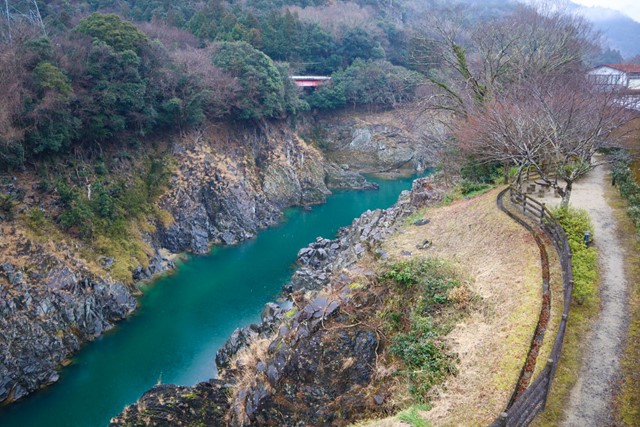
Mt. Nokoyama 納古山 (Gifu Prefecture)
Japan
Mt. Nokoyama is located deep in the sticks of Gifu Prefecture. It has a 360 view over the surrounding river, farmlands and mountains. Not particularly hard, makes for a good day trip.
 1.5
km
return
30
mins
1.5
km
return
30
mins
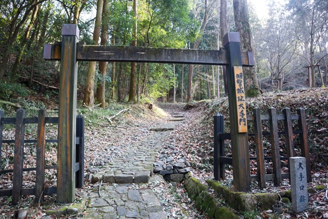
Akechi Castle 明智城跡 (Gifu Prefecture) KANI
Japan
A short hike up to Akechi Castle in in Kani city. Not to be confused with Akechi Castle in Akechi.
 3.2
km
return
45
mins
3.2
km
return
45
mins
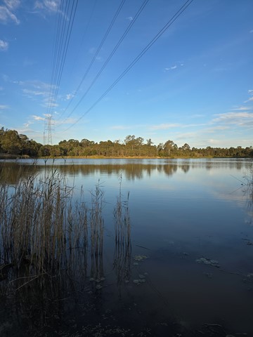
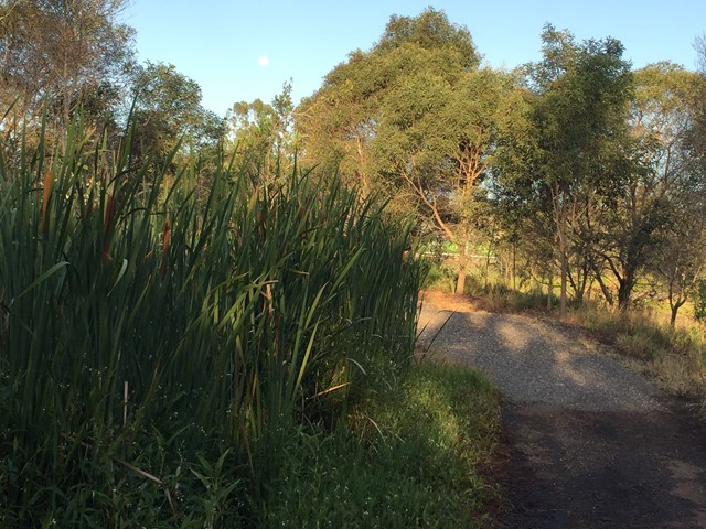
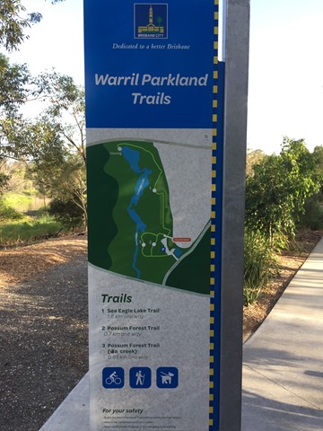
Sea Eagle Lake Trail (Warril Parkland)
Brisbane City Council Local Walks
Wetland area along Oxley Creek.
 1.7
km
return
20
mins
1.7
km
return
20
mins
Possum Forest Trail (Warril Parkland)
Brisbane City Council Local Walks
Bushland next to wetland area of Oxley Creek.
 20
km
return
8
hrs
20
km
return
8
hrs
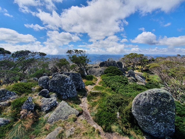
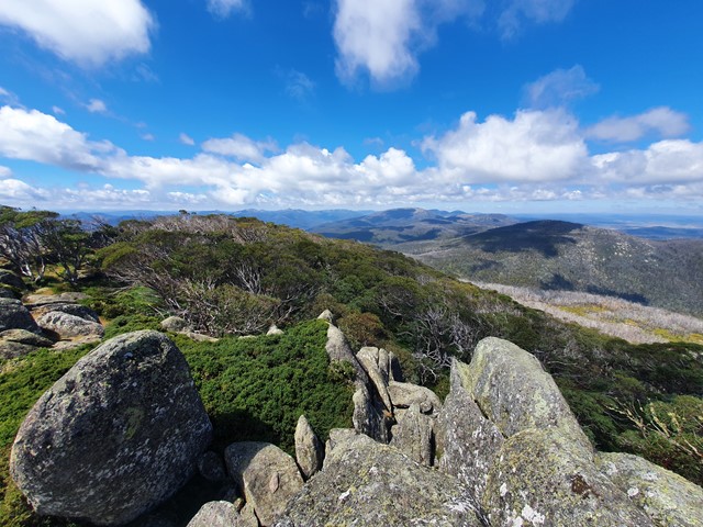
Mt Gingera
Namadgi National Park
Known as one of the best day walks in ACT, Mt Gingera is the second highest mountain in the entire state after the nearby Mt Bimberi.
 1.6
km
return
30
mins
1.6
km
return
30
mins
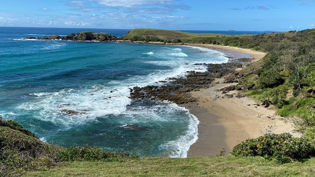
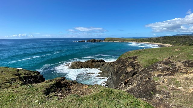
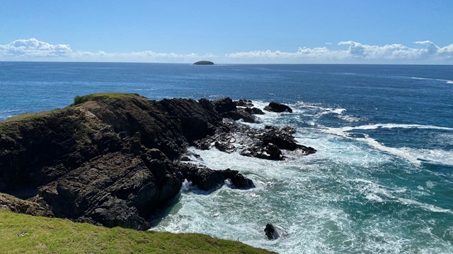
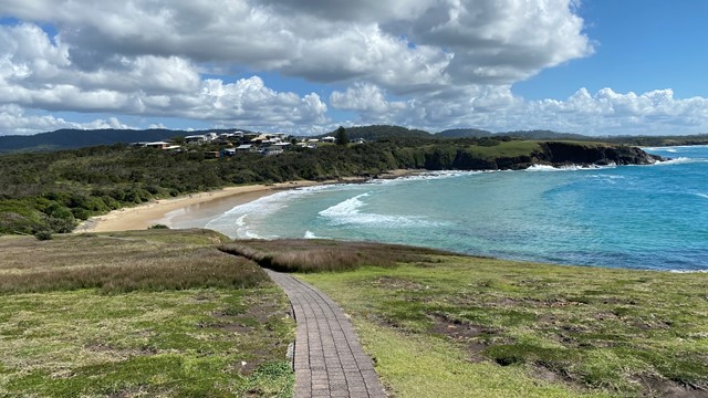
Look at me now Headland walk
New South Wales
A section of the Solitary Islands Coastal Walk at Emerald Beach walking around the headlands with lovely views of surrounding beaches and headlands to the north and south as well as views of the Solitary Islands to the east.
 12.9
km
return
6
hrs
12.9
km
return
6
hrs
Mount Maroon Southern Route
Mt Barney National Park
This alternate route up Mount Maroon begins from the end of Dynans Hut Road following the fire trail until Paddy Plain Remote Bush Camp after which the small creek named Paddys Gully is followed upstream for a short way before turning right at the fork in the creek and following this mostly dry tributary up the Southern flanks of Mount Maroon. The exposed creek bed is followed up hill for a while until you exit it on the righthand side to join the forested gully you follow for the majority of the way up until the plateau. Once the plateau has been gained its not long until you run into the main tourist path and follow it up to the summit. Trail up the Southern flanks of Mount Maroon is off trail / overgrown and navigation skills will be needed.
5.6
km
return
3
hrs
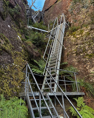
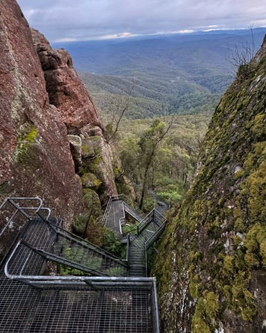
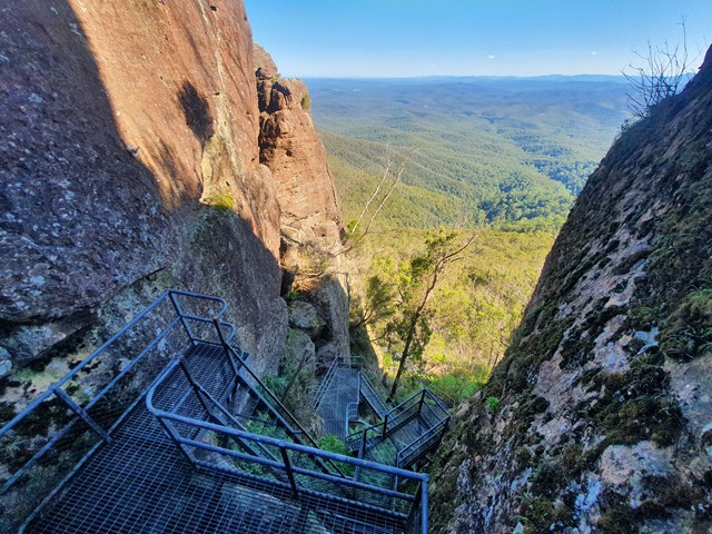
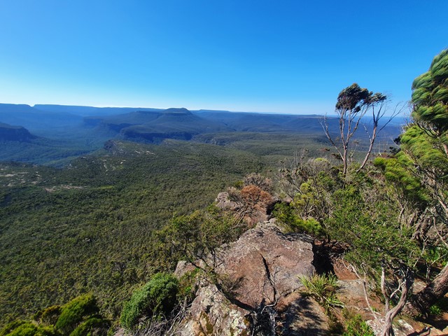
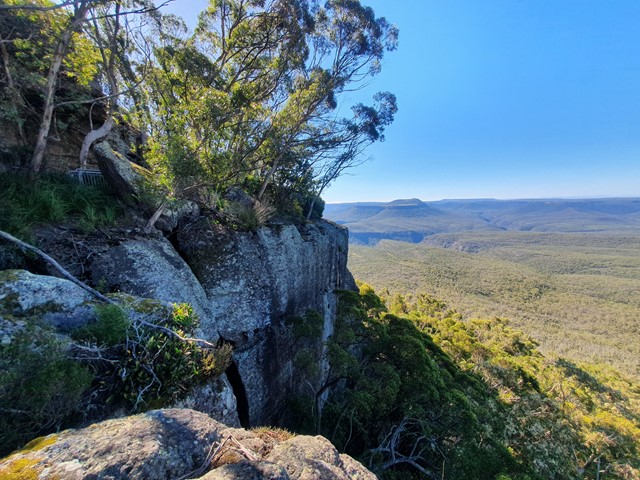
Pigeonhouse Mountain
Morton National Park
A well marked trail/series of steel ladders and catwalks to the summit of Pigeonhouse Mountain where you will be rewarded with some of the best views of the Budawangs.