


 10
10 3
3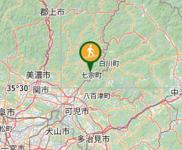
Aussie Bushwalking can keep track of your bushwalks.
Login/signup to tick this walk off.Mt. Nokoyama 納古山 (Gifu Prefecture)
Japan
Menu
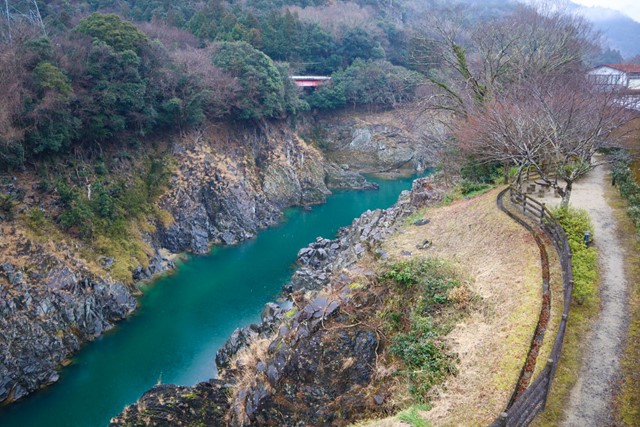
Mt. Nokoyama is located deep in the sticks of Gifu Prefecture. It has a 360 view over the surrounding river, farmlands and mountains. Not particularly hard, makes for a good day trip.
Waterfalls
Lookouts
Toilets
634m
Maximum Elevation
Getting there
You can get this hike by either taking the train to kami-aso station or by driving. If driving, park at Rock Garden Hichiso (michi no eki) and then walk to to Kami-aso station. The hike begins from the station. There are signs on the road from the station that point you towards the beginning of the hike. Look out for signs that read 納古山
Maps
the one at the station
Route/Trail notes
The first part of the hike follows an old road. It isn't particularly interesting. Keep your eyes peeled for wooden signs that read 初級コース, this will take you the easy way up the mountain. If you miss these signs, you are screwed and it is not written in English. If you followed the signs correctly, it should take you into a forest path where you will gently incline until you reach the summit. There are limited views on the way up.
Towards the peak, the path will get increasingly steep. There are multiple false peaks. After walking along the ridge line for a bit, you will reach the summit. You will know that you have reached the summit when there is an open 360 view. There are a lot of benches at the peak and a sign marking the summit.
On the way down, look out for signs marked with 中級コース. This is the more difficult route. You can loop back using the easy path, but the more difficult path will add some spice to the hike. There is some rock scrambling. Nothing particularly technical. If you take your time, there should be no issue. It is only a small segment and there is no risk of death even if you fell. Continue following signs until you reach the old road which you will then loop back to the carpark past the station.
Permits/Costs
Parking is free
Other References
search in japanese
GPS Tracks
- No GPS available for this walk yet.
Comments
Nobody has commented on this walk yet. If you've done it then tick it off and add a comment.