
Hosokute-juku to Mitake-juku Nakasendo 中山道 細久手宿から御嵩宿まで (Gifu Prefecture)
Japan


Menu
This hike is nothing special. It is one of the more boring parts of the Nakasendo with the Iroha tea house being the only thing that is slightly interesting.

Getting there
Getting to the start of this hike is an absolute nightmare. It is vitually impossible to reach via public transport. There are buses that run but as far as I am aware they are far and few between, something like one or two a day so don't bother. The only way to Hosokute-juku is either by driving or cycling or hiking in from a longer section of the Nakasendo trail.
For us we parked a car in Ena (where we are based/live) and then drove up and parked a second car at Hosokute which has very limited parking available. From here we were supposed to walk to Ena but we made a mistake and ended up heading to Mitake. If you want to go to Mitake, turn left from the carpark and go downhill. If you want to head towards Otkute/Ena go towards the right from the carpark up the street.
Maps
Plenty of Nakasendo maps, just look em up.
Route/Trail notes
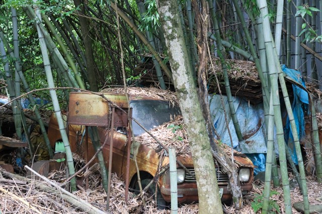
The walk takes you through the very dilapidated town of Hosokute in which there is nothing of interest to see. You follow the road looking out for the blue Nakasendo signs which are written in Japanese 中山道 歴史の道. Occasionally there are signs with a picture of a horse that include English.
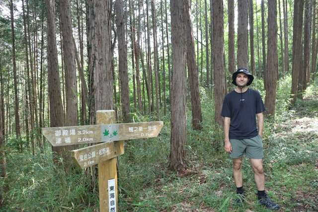
The first section takes you along an unlovable bit of road until you reach a forested section which is clearly an old abandoned road as tire marks are still visible. Continue walking along this for a while. Occasionally you'll come out on the road but for the most part you'll be in the forest until you reach Mitake-juku which is also not very interesting. There are two cafes and some free museums but the museums are pretty much the same thing that you can see is any Nakasendo post town.
After finishing the hike we went to the Mitake train station and then trained it back to Ena and then drove to pick our second car up.
Permits/Costs
Do you need any permits? What's the cost?
Other References
How can I find more info? Any guide books?
GPS Tracks
- No GPS available for this walk yet.
 11.8
11.8 3
3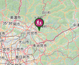
Comments