
Menu
Suggested searches
Your search found 2398 results...

 8.4
km
return
8.4
km
return

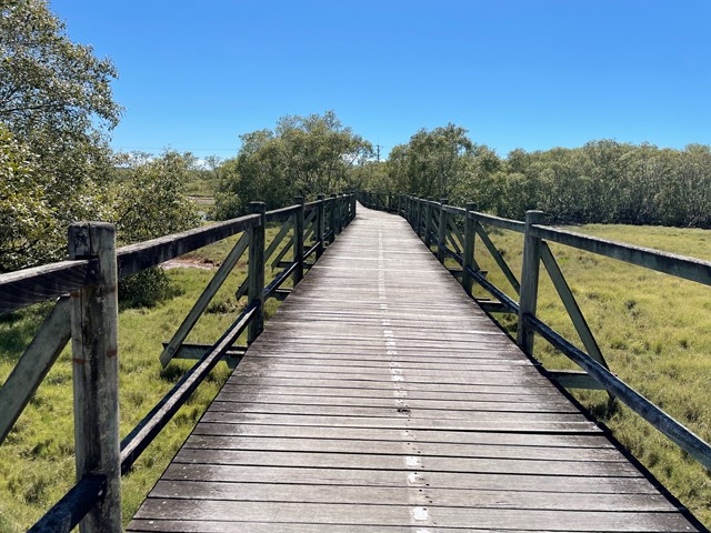
Boondall Wetlands Bikeway
Brisbane City Council Local Walks
Walking and bike track leading from Boondall Wetlands Environment Centre to Nudgee Road.
 5.3
km
return
5.3
km
return
Lobethal Bushland Park - Purple Trail
South Australia
The purple trail is the longest walk in Lobethal Bushland Park and parses both the lower and upper dams. The walk is scattered with gums showing signs of regrowth after bushfires in 2020. This walk is a good way to see all the park has to offer. The purple trail has an optional extension which ads approximately 1km to the journey. This extension is included in the measurements and maps provided.
 3
km
return
2
hrs
3
km
return
2
hrs
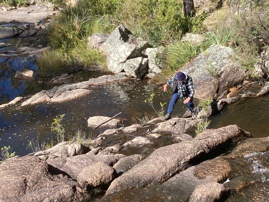
Kings Plains Creek Falls
New South Wales
A fun walk rock-hopping down the creek (no marked track) to the falls, best after rain. Lots of wildlife, and lovely orange gums. Although this walk is short, allow 2 hours to enjoy yourself and observe the birds and nature. Its a surprisingly pretty spot and uncrowded, in a park that protects rare woodland. If you need accommodation, check out nearby Kings Plains Castle for a change from a tent.
 1.9
km
one-way
1.9
km
one-way
Cockatoo Walk
Boonoo Boonoo National Park
A circuit that takes you from Morgan's Gully Picnic Area to Cypress Pine Camping Area. May be walked as a circuit, but much nicer to walk along the creek and return through the same route.
12.2
km
return
4
hrs
River Track
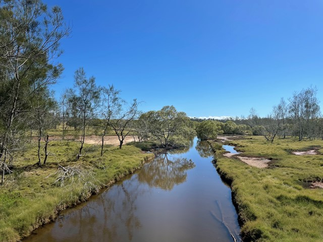
Boonoo Boonoo National Park
Using the park’s fire trail system, the Boonoo Boonoo River Walk connects Cypress Pine Campground to the Boonoo Boonoo Falls picnic area, offering excellent swimming, hiking and picnicking opportunities.
In summer, what better place to relax than by a river! The Boonoo Boonoo River Walk, can be accessed via several places along Falls Road. Spring is a great time to experience this walk, as the park is a haven for wildflowers, including a variety of wattles, pea flowers and rock orchids.
The track leads you through dry eucalypt forest and vegetation in the riparian zone – the interface between the land and the waterway – a little way back from the river. Make the most of the two river visits by having a dip, a swim, or, at the very least, by splashing someone in your group.
If you’ve approached the river quietly, you may be lucky enough to spot a platypus. Around sunrise and sunset, wallabies and kangaroos might be seen grazing close by or drinking at the river.
 300
m
return
1
hr
300
m
return
1
hr
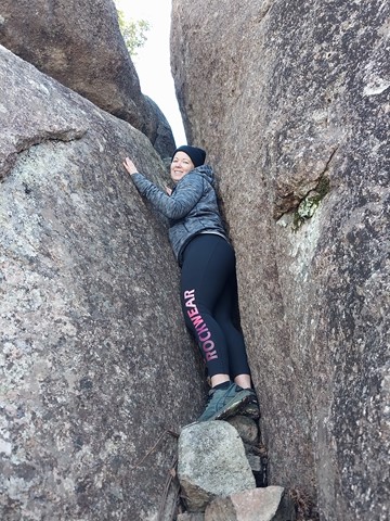
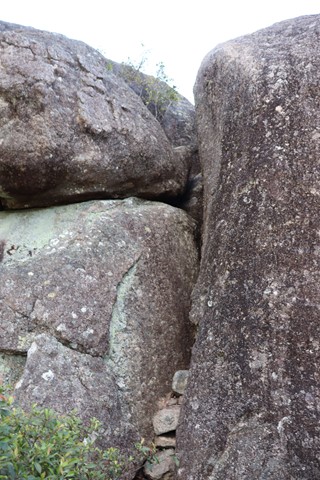
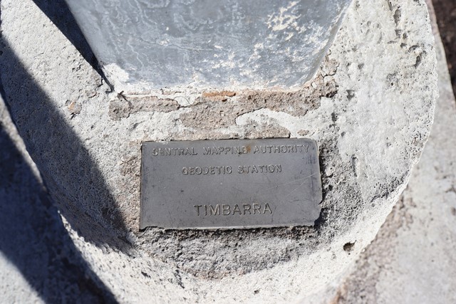
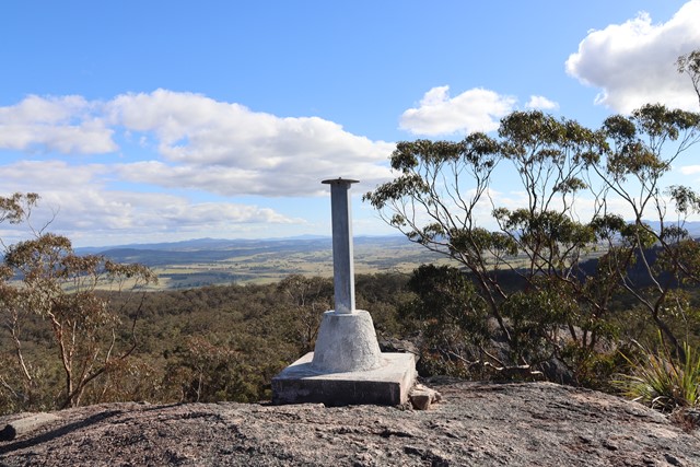
Timbarra Lookout
Basket Swamp National Park
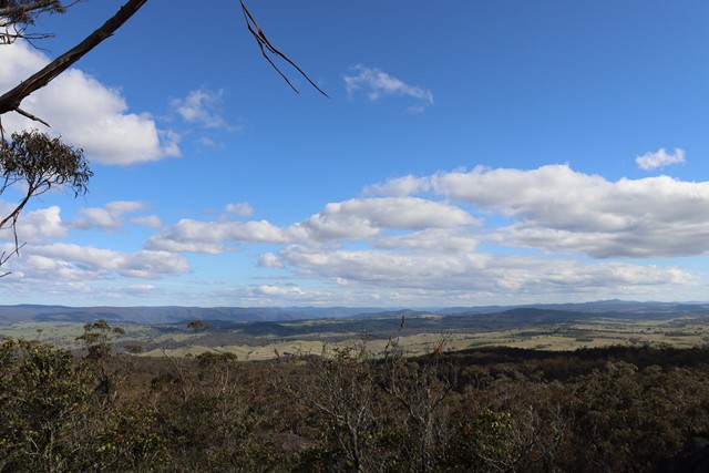
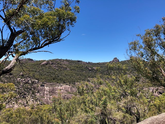
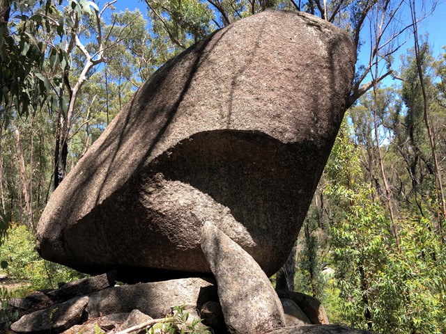
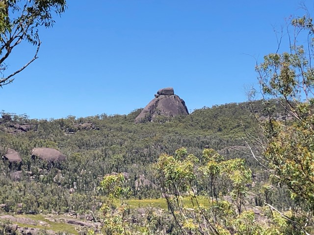
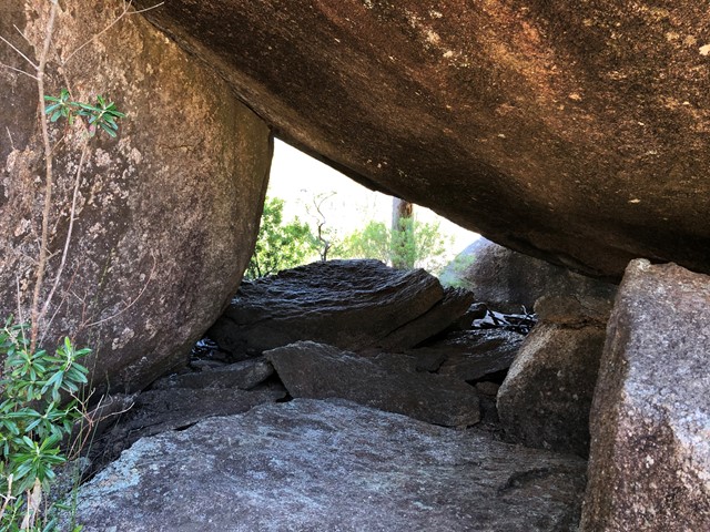
An outcrop of granite rocks near the southern edge of the Basket Swamp National Park. An easy 100-metre walk trail brings you to the base of this trig point which is high on the tallest rock in this outcrop though to get to the trig on top of the rock requires a hard climb up a very narrow crevasse. 180 degree views across farmlands and the Bruxner Highway and as far as Tenterfield can be seen from the rock.
 1.1
km
return
75
mins
1.1
km
return
75
mins
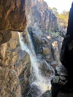
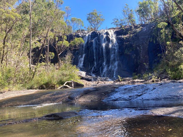
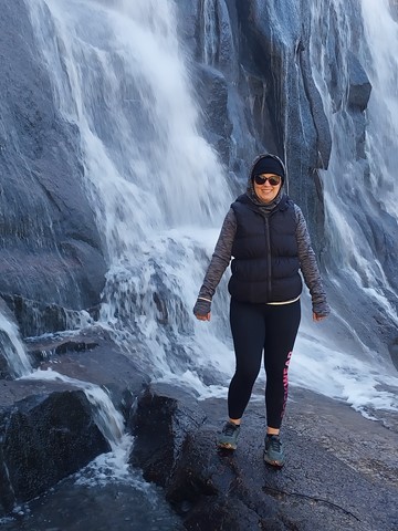
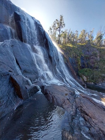
Basket Swamp Falls
Basket Swamp National Park
Well worth the effort to visit this stunning multi-faceted waterfall situated in Basket Swamp National Park; the little sibling to Bald Rock and Boonoo Boonoo. There is a slippery fire trail where you can walk down to view the lower pools and rock hop back under the falls.
 7
km
return
2
hrs
7
km
return
2
hrs
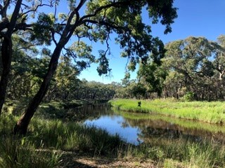
Environmental Walkway
Wide Bay Burnett
A wonderful opportunity for bird watching, as the foreshores of Tin Can Bay can be explored via the 'environmental walkway'. This allows visitors to observe the inhabitants of the foreshores in comfort and without disturbing their natural habitat.
There is an excellent environmental walkway which runs along the foreshore of Tin Can Inlet. A well maintained path through the foreshore bushland with raised wooden walkways. There are lots of detailed signs explaining the flora and fauna, with a specific Foreshore Bird Walk with photos for identification purposes.
 4
km
return
2
hrs
4
km
return
2
hrs
Anvil Rock Walk
Gibraltar Range National Park
Anvil Rock walking track, in Gibraltar Range National Park, is a hiking route with scenic views and exploring the granite landscape surrounding
 1.8
km
return
1
hr
1.8
km
return
1
hr
Acropolis Walk
Greece
A short walk to the top of the Acropolis a prominent limestone and schist peak in central Athens topped with an ancient citadel which is a UNESCO World Heritage Site and houses the world famous Parthenon. Views of Athens.