
Menu
Suggested searches
Your search found 2398 results...

 20
km
one-way
20
km
one-way
 3
hrs
3
hrs
Mary to Bay Rail Trail
Wide Bay Burnett
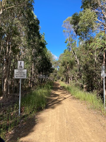
A 20k walk/ ride from Hervey Bay To Maryborough, or visa versa. Cleared packed gravel track to thicker bush tracks. Mainly flat with some flooding in wetter weather. View the bird life and early morning kangaroos feeding on tufts of grass by the track.
 5
km
return
1
hr
5
km
return
1
hr
Rocks Riverside Walk
Brisbane City Council Local Walks
Walk along the river, plenty of picnic spots, water bubblers (including for dogs) and Brisbane’s largest riverside park at the end.
 1.2
km
return
30
mins
1.2
km
return
30
mins
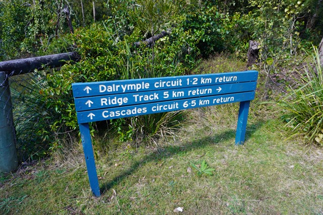
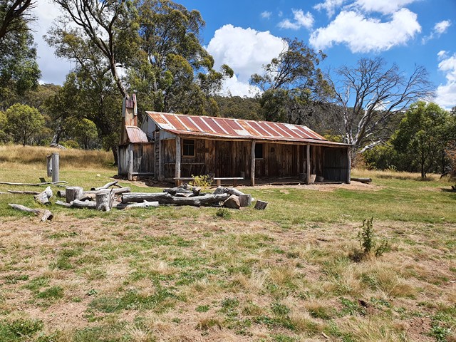
Dalrymple Circuit
Main Range National Park
THIS WALK (SEPTEMBER 2025) IS CURRENTLY CLOSED DUE TO STORM DAMAGED.
A short easy walk from the Manna Gum camping area in the Goomburra section of the Main Range National Park.
 23
km
return
8
hrs
23
km
return
8
hrs
Mt Bimberi
Namadgi National Park
A long and seldom walked track to the highest mountain in ACT.
 750
m
return
10
mins
750
m
return
10
mins
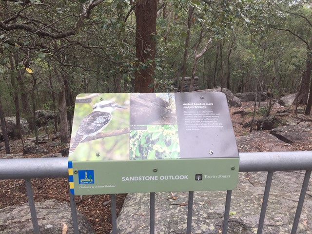
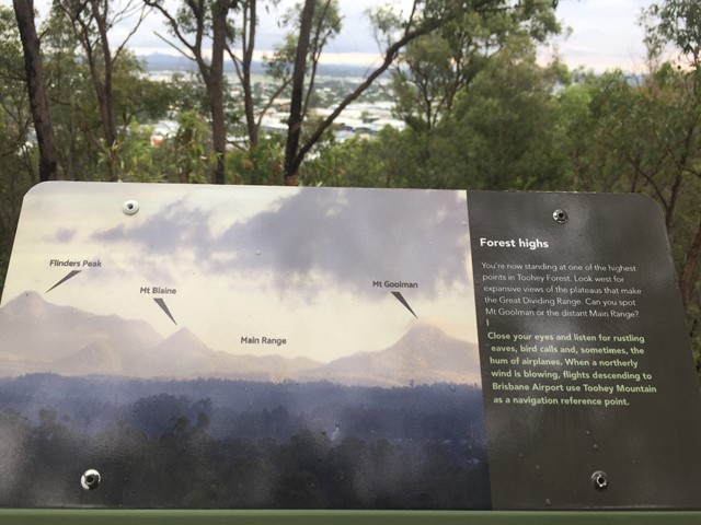
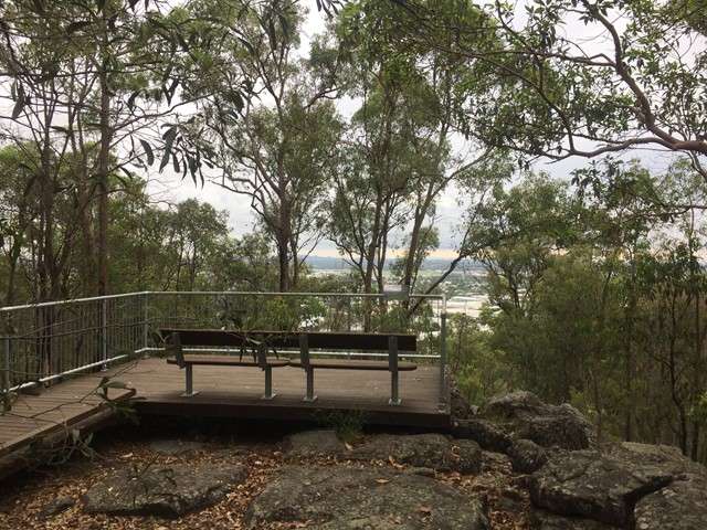
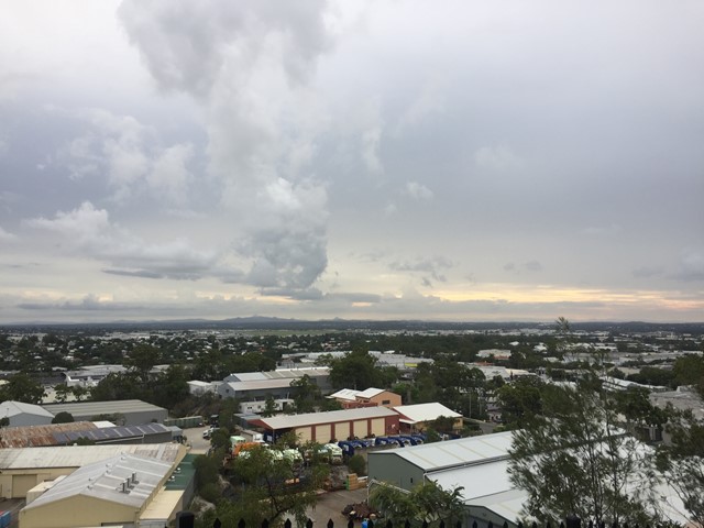
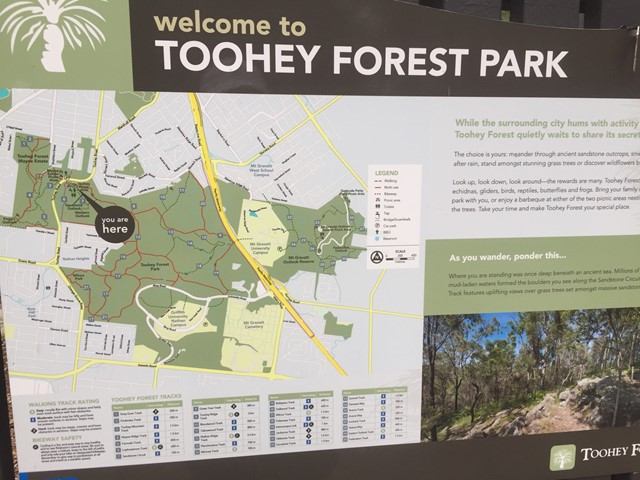
Sandstone Circuit
Brisbane City Council Local Walks
A short circuit in Toohey Forest Park that takes you to the top of a sandstone knoll the sandstone outlook (117m) and to the Western outlook which offers views of the Flinders Peak group and distant main range.
 3
km
return
45
mins
3
km
return
45
mins
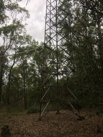
Toohey Mountain Track & Mayne Ridge Track
Brisbane City Council Local Walks
A short walk in Toohey Forest Park from the Mayne Estate Picnic Area to the top of Toohey Mountain and to Pegg's Outlook.
 2.5
km
return
1
hr
2.5
km
return
1
hr
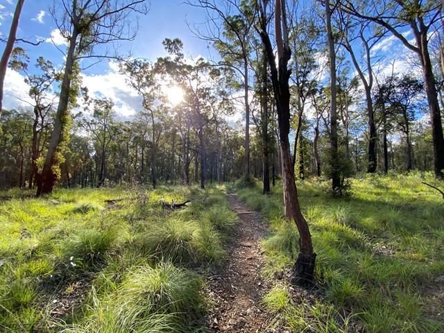
Goon Goon Dhina
Blackdown Tableland National Park
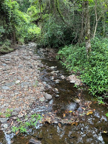
The track starts from the Munall campground and begins with an easy walk past old cattle yard ruins, then follows Mimosa Creek upstream to a Ghungalu art site. Signs along this track offer insights into the park's history. Learn how Ghungalu people used plants for food and shelter.
2.4
km
return
50
mins
Mook Mook
Blackdown Tableland National Park
This walk starts opposite the Munall campground turn-off. Follow the track across Mimosa Creek and over gentle ridges to a lookout on the edge of the tableland, offering views of sandstone cliffs and distant ranges.
 3.6
km
return
90
mins
3.6
km
return
90
mins
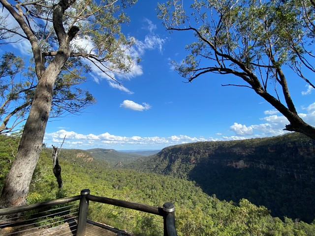
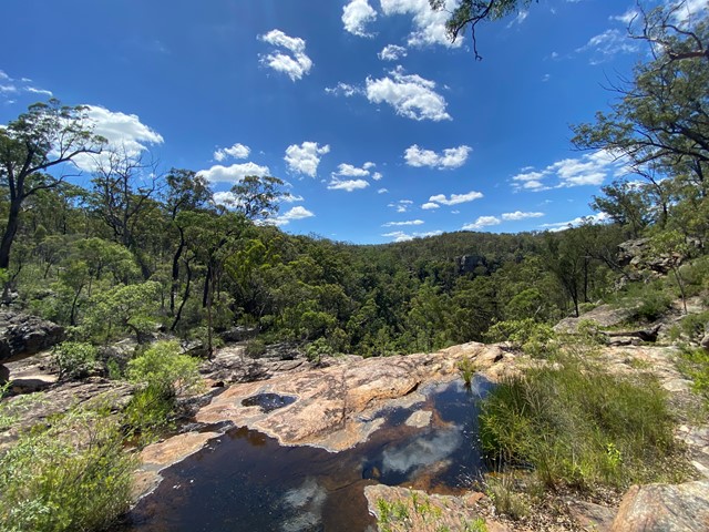
Gudda Gumoo Lookout
Blackdown Tableland National Park
Stop and touch rough stringybarks and spiky grasstrees as you follow this track to Gudda Gumoo lookout. Gaze across the gorge to distant plains and hills. Learn about the significance of Moonda Gudda to the Ghungalu people.
4
km
return
2
hrs
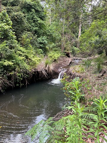
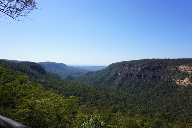
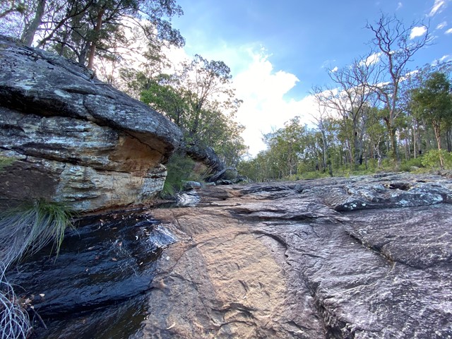
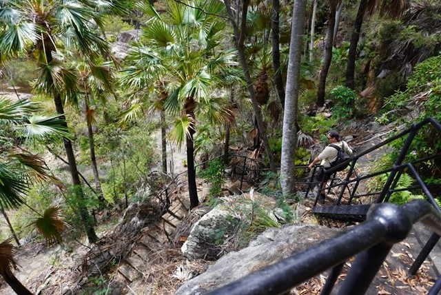
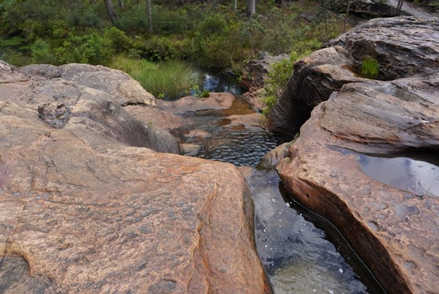
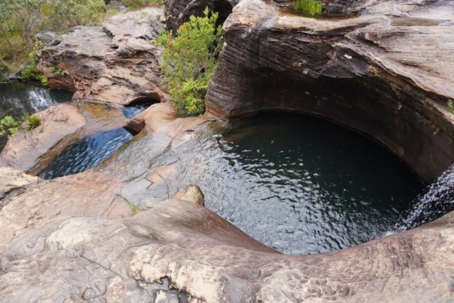
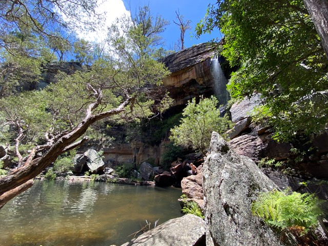
Gudda Gumoo Gorge
Blackdown Tableland National Park
Journey into the gorge, where damp fern fronds glisten and colourful birds come to cool off. See water spill over sandstone ledges of Rainbow Falls as it flows down and through the gorge.