
Menu
Suggested searches
Your search found 2398 results...

 1
km
return
1
km
return
 45
mins
45
mins
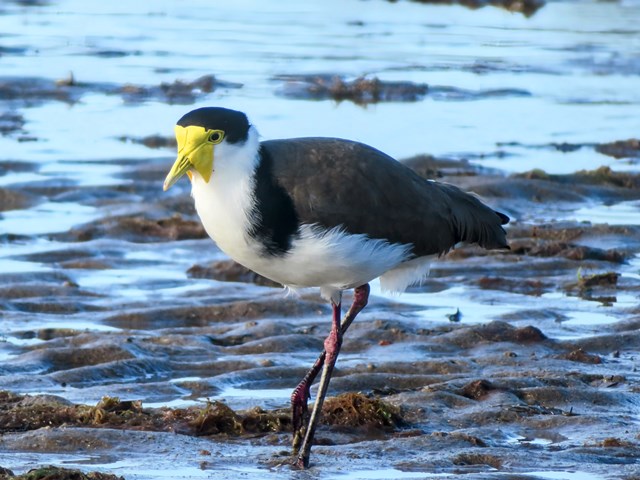
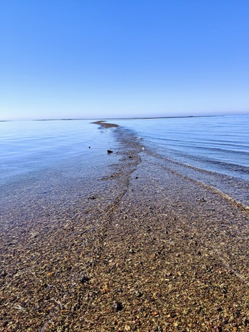
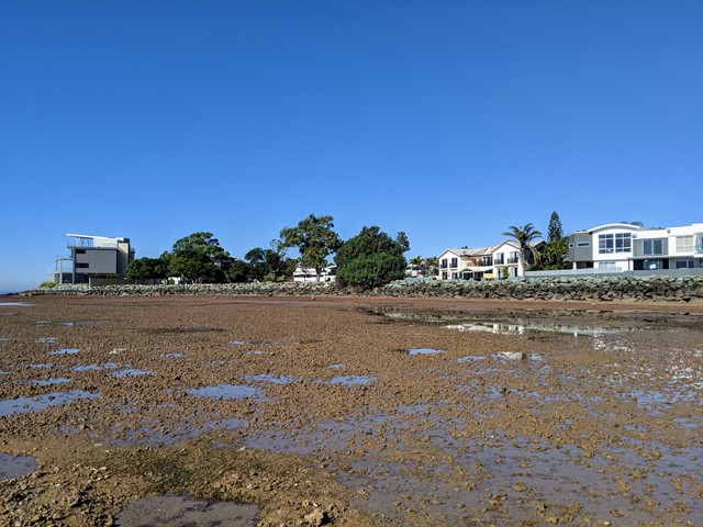
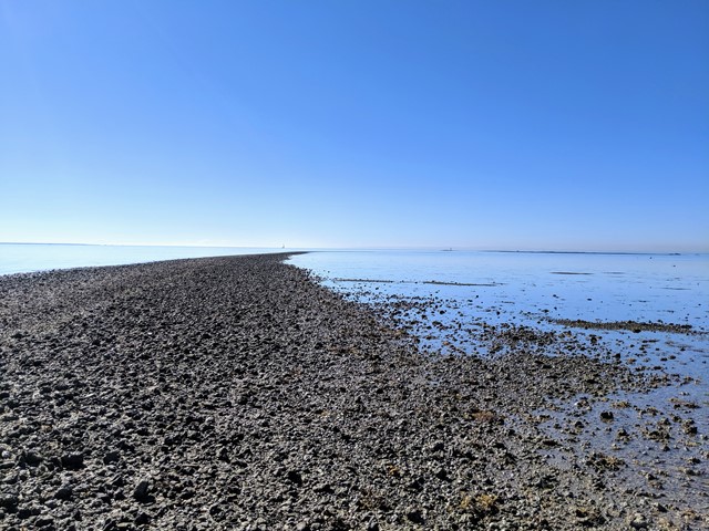
Scarborough Point Low Tide
Moreton Island National Park
A short 1km return walk over the mud flat & rocks at Scarborough Point, starting from Tingira Park. At low tide the rocks form a roughly 2m wide path out to a big rocky outcrop in the bay, there's often people fishing or fossicking here. At high tide the entire path and outcrop go underwater.
 11
km
return
4
hrs
11
km
return
4
hrs
Melaleuca Circuit
Burrum Coast National Park
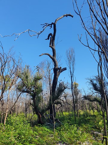
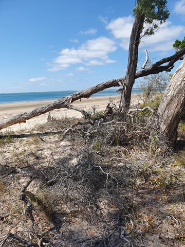
A nice walk, just 45 minutes drive from Bundaberg. Walk through the trees to come out to a beautiful mangrove and continue on to an 4WD/walk in only camp-site. A short sandy section along the beach, leads you back to the start of the circuit. Official signage says 12km return, but my GPS only measured around 11km.
 480
km
one-way
28
days
480
km
one-way
28
days
Via Egnatia
Albania
This a walk that follows, where possible, the ancient roman road, the Via Egnatia, from Durres in Albania to Thessaloniki in Greece. I only walked sections, in Albania and Northern Macedonia. The highlights of the walk are spending several days walking on the remains of the Roman road, which are well preserved in one mountainous section of the walk, walking along the shores of Lake Ohrid and walking over the mountains from Ohrid to Resen.

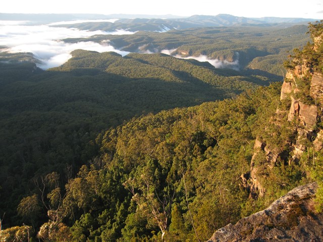
Faulconbridge to Glenbrook via Lost World
Blue Mountains National Park
One of the many routes through the Blue Labyrinth, the two-day walk from Faulconbridge to Glenbrook in the lower Blue Mountains combines tracks along Sassafras and Glenbrook Creeks with sweeping views from Lost World Lookout. It's a varied walk with lots of potential camping sites.
 2
km
return
1
hr
2
km
return
1
hr
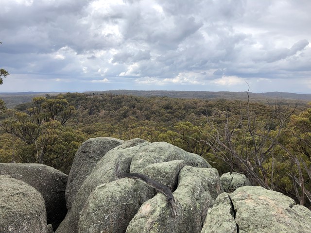
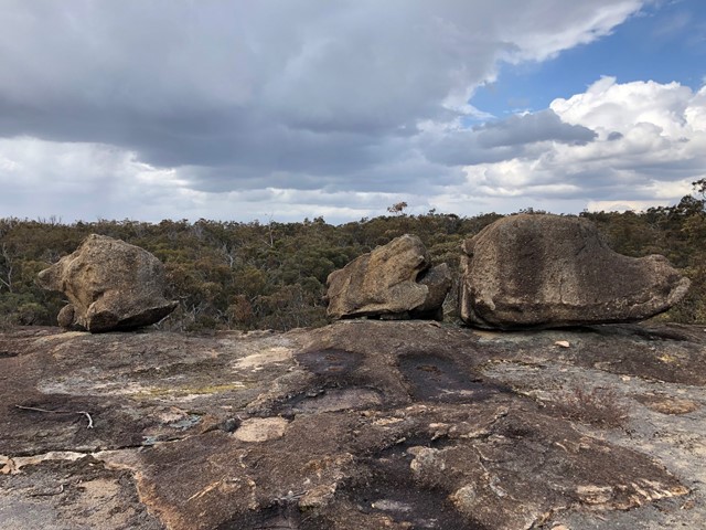
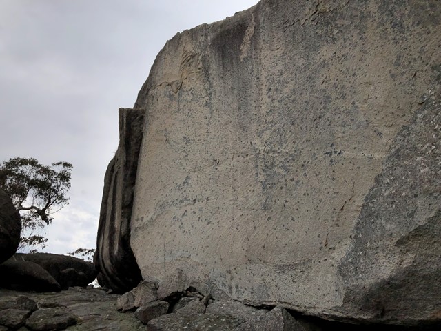
Thunderbolts Lookout Walking Track
New South Wales
Thunderbolts Lookout Walking Track provides spectacular 360° panoramic views of Torrington State Conservation Area
 2.6
km
return
90
mins
2.6
km
return
90
mins
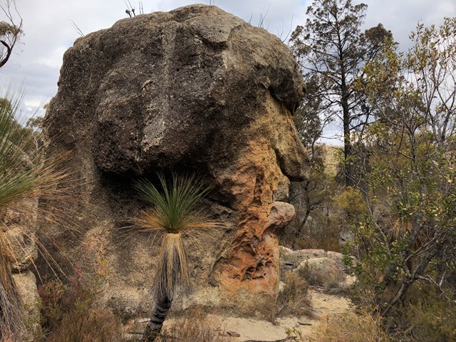
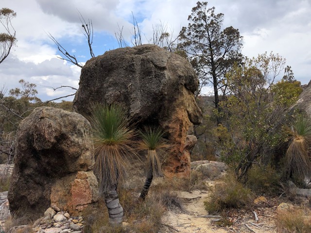
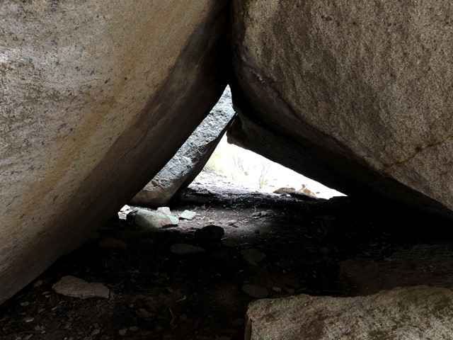
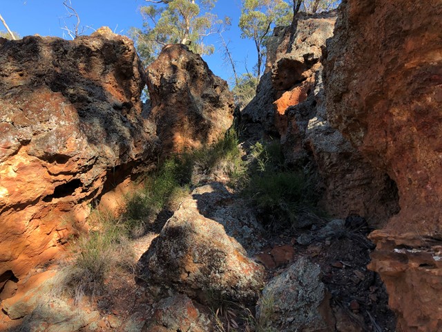
Mystery Face walking track
New South Wales
Mystery Face Walking Track is located in Torrington State Conservation Area and provides views of spectacular rock formations
 2.5
km
return
90
mins
2.5
km
return
90
mins
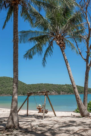
Coral Cove
Mackay, Isaac and Whitsunday
Two different access points on either side of the island, to a quiet private beach facing South. With a swing and some palm trees. Half hour walk from East Side Entrance. An hours walk from Scenic Trail entrance
 500
m
return
20
mins
500
m
return
20
mins
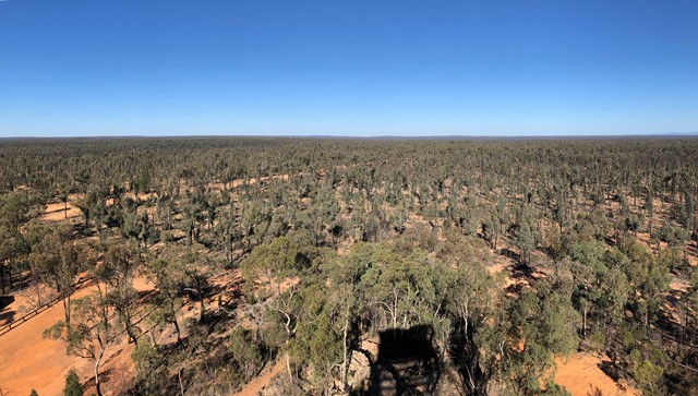
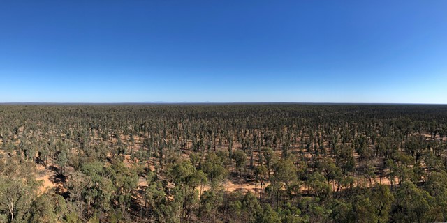
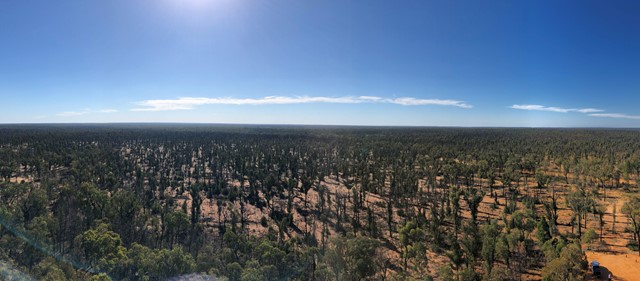
Salt Caves Picnic Area and Pilliga Lookout Tower
Pilliga Nature Reserve
Walk up to the Pilliga Forest Lookout Tower and around exploring the Salt Caves. The cave itself is an important Aboriginal site and is an excellent example of shelters used by the traditional Gamilaroi people.
 29
km
one-way
2
days
29
km
one-way
2
days
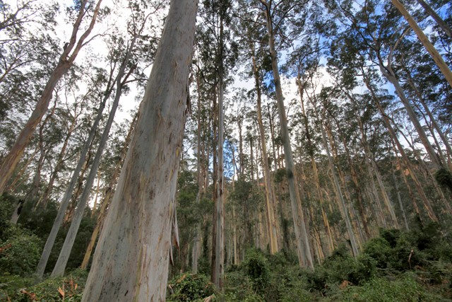
Mt Victoria to Blackheath via Blue Gum Forest
Blue Mountains National Park
The longest of the Grose Valley bushwalks is from Mt Victoria to Blackheath via Blue Gum Forest, which follows the Grose River from Victoria Falls to the Blue Gum Forest and then Govetts Creek to Evans Lookout at Blackhheath. You could also ascend via Govett’s Leap, making the walk slightly shorter, or take the spectacular Grand Canyon track to finish at Neates Glen. It can be done as a 2-day walk, or three days if you camp at Burra Korain near Victoria Falls and then at Blue Gum Forest (Acacia Flat).
 22
km
one-way
2
days
22
km
one-way
2
days
Katoomba to Wentworth Falls via Mt Solitary
Blue Mountains National Park
A fairly solid 2-day walk that takes you along the Jamison Valley from Katoomba (and optionally up) to Ruined Castle, over Mt Solitary and back up to Wentworth Falls. There’s some steep sections (up and down!) on both days, rewarded by some great views, waterfalls and cascades and nice walking trails. It can easily be done by public transport, or with a car shuffle.