
Menu
Suggested searches
Your search found 2398 results...

 5.4
km
return
5.4
km
return
 3
hrs
3
hrs
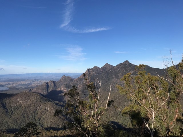
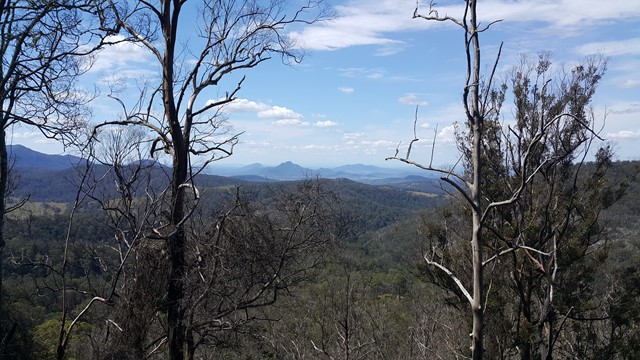
Elvina Bay Loop
Ku-ring-gai Chase National Park
The Elvina Bay circuit is a short but very diverse loop trail at West Head, with a secluded swimming hole, multiple cascades and waterfalls and nice Pittwater views. You can opt for a hard and partly off-track circuit, or an easier on-track loop...
 1.1
km
return
30
mins
1.1
km
return
30
mins
Koolewong Track
Ku-ring-gai Chase National Park
The Koolewong Track (koolewong is an Aboriginal word for koala, ‘though there are none left in this area) is one of the shortest walks at West Head. However, it leads to one of the best lookouts over Hawkesbury River toward Patonga and Lion island.
 10.5
km
return
5
hrs
10.5
km
return
5
hrs
Montserrat Lookout and Upper Portals Circuit
Mt Barney National Park
An awesome day out taking in these two spectacular locations, enjoying the amazing views of Mt Barney from Montserrat Lookout, and exploring the Portals. There are a couple of leg-burning climbs involved, but the rewards are worth it.
 4
km
return
90
mins
4
km
return
90
mins
Burning Mountain
New South Wales
Burning Mountain is a unique natural phenomenon and a highlight of the region. The best way to discover this unusual nature reserve is a 4km return track that has some steep sections.
 500
m
return
30
mins
500
m
return
30
mins
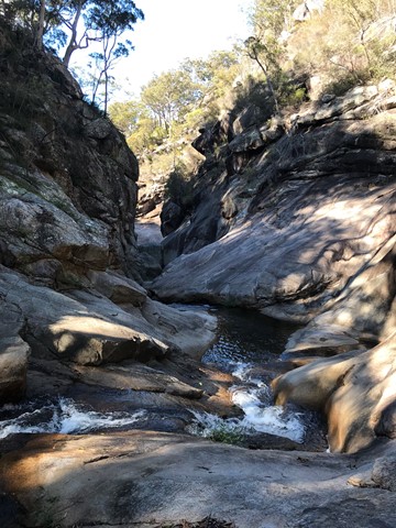
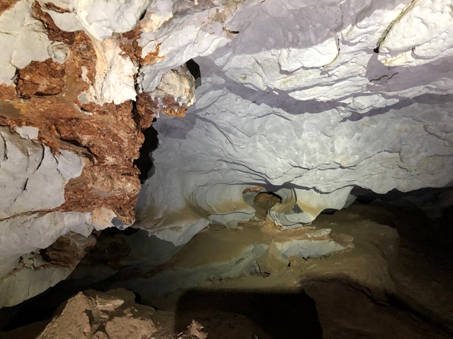
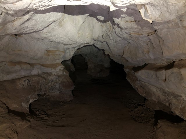
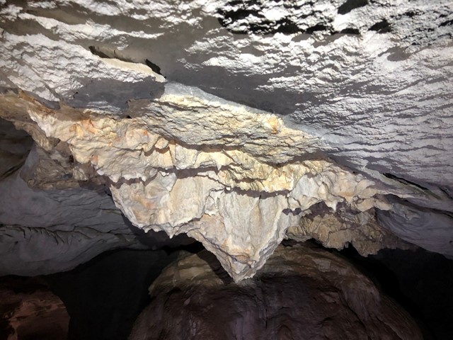
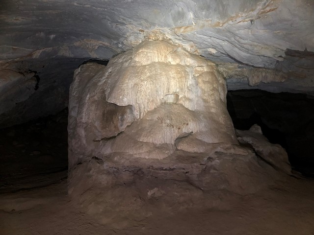
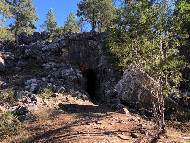
Limestone Caves
Kwiambal National Park
THIS WALK IS CURRENTLY CLOSED (MAY 2023). CHECK NATIONAL PARK'S WEBSITE FOR UPDATES.
Explore the Limestone Caves located in Kwiambal National Park.
 12
km
return
5
hrs
12
km
return
5
hrs
Mt Joyce Summit Walk
South East Queensland
A easy, but long walk along the banks of the Wyaralong Dam to the summit track for Mt Joyce which rewards you with amazing views as far as Mt Barney.
 10.1
km
return
5
hrs
10.1
km
return
5
hrs
Mt Clunie
Mt Barney National Park
This is one for the "peak-baggers" and those who want to test there fitness. Mt Clunie is one of the high mountains (1158m) on the Qld/NSW border and the walk involves one of the tougher ascents in South-East Qld (described as "incredibly steep" in the Bushpeople's Guide, and they aren't joking). The walk begins at the border gate on the Carneys Creek Rd (this becomes White Swamp Rd once it crosses into NSW) and follows the border fence all the way up to the summit. The first few kilometres of the walk, in a roughly Southerly direction, is through undulating terrain in open eucalypt forest, and although there are some steep sections, it isn't too difficult. However, about an hour into the walk, a steel fence is crossed, the vegetation begins to change to rainforest, and the very steep section commences. At this point is is very handy to wear tough gloves, in order to drag yourself up the fence, and wear long sleeves and pants/gators, to battle through some areas of blackberry. A few hundred metres from the summit, the track levels, and there are some picturesque rock formations on the Qld side of the fence. In some sections, it is best to climb over the fence for easier travel. The summit is marked by a cairn, but there are no views to speak of, apart from occasional glimpses of Wilson's Peak to the North-West. You will make up some time on the return trip, but in parts, it's almost necessary to slide back down!
 8.8
km
return
3
hrs
8.8
km
return
3
hrs
Box Vale Mine Walk
New South Wales
The Box Vale Mine track follows the formation of a historic railway line and passes through cuttings, along embankments and through a tunnel 84 metres in length. Although much of the surrounding terrain is steep and rocky, the four point four kilometre walking track has easy grades and the return walk takes about three hours. There is also a one point eight kilometre spur track through pleasant bush land to 40 foot falls and a very steep track leads to vantage point below the falls. Picnic tables and barbecues are provided near the track head car park.
9.3
km
return
4
hrs
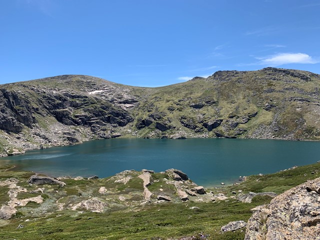
Main Range Track - Charlottes Pass to Blue Lake
Kosciuszko National Park
This walk starts from the end of Kosciuszko Road, at Charlotte Pass, and follows the signposted Main Range Track to the Blue Lake lookout. The walk crosses the famous Snowy River along the way. The Blue Lake lookout is located a short walk down sidetrack and provides stunning views of the lake. There are a series of information signs that provide information on how this lake and other features in the area where formed.
 20
km
return
6.5
hrs
20
km
return
6.5
hrs
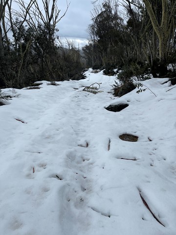
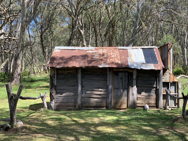
Cascade Hut Trail - Thredbo
Kosciuszko National Park
Cascade Hut trail is a popular mountain biking and walking trail that takes you to a historic alpine hut. In winter, strap on cross-country skis or snowshoes to enjoy this trail near Thredbo.