


 Mt Joyce (GPX)
 12
12 5
5- Flinders Peak - approach from South (Ipswich - Flinders Goolman Conservation Estate)
- Flinders Peak & Caves (Ipswich - Flinders Goolman Conservation Estate)
- Sandy Creek Central Ridge Track (Ipswich - Flinders Goolman Conservation Estate)
- Sandy Creek Track (Ipswich - Flinders Goolman Conservation Estate)
- Boonah to Ipswich Trail (Ipswich - Flinders Goolman Conservation Estate)
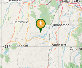
Mt Joyce Summit Walk
South East Queensland
Menu
GPS Tracks
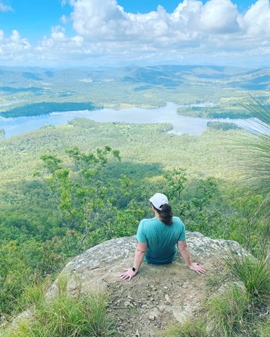
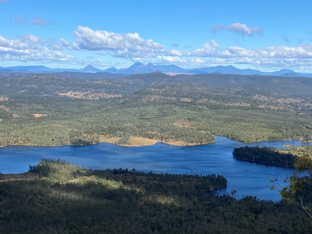
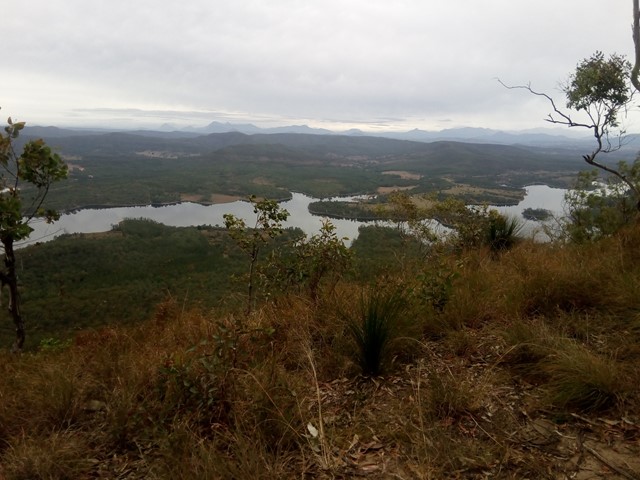
A easy, but long walk along the banks of the Wyaralong Dam to the summit track for Mt Joyce which rewards you with amazing views as far as Mt Barney.
Lookouts
Swimming
Picnic Facilities
Cycling Permitted
469m
Maximum Elevation
511m
Total Climb
Getting there
Google Maps - Wyaralong Dam Recreational Facility, which is of Wyaralong Dam Access Rd just off Beaudesert-Boonah Rd
Route/Trail notes
Starting at the carpark work your way down to the track that runs along the banks of the dam. From there you follow a very well marked/touristy track for quite a while. There are 2 tracks that lead to the summit, both are well marked but less touristy than the Dam perimeter track. From there it is a short but steep trek to the summit which has a great uninterupted view to the south. There are maps along the way to help you orientate yourself.
Permits/Costs
Free, but check the SEQ website before you go, it is prone to being closed for upgrades.
Other References
GPS Tracks
Where
Click here to load this map.
Comments