


 Mt Cotton from West Mt Cotton Rd (GPX)
 3.5
3.5 75
75- Tingalpa Creek Circuit (Brisbane City Council Local Walks)
- Venman Circuit (South East Queensland)
- Sandy Creek Conservation Area (Redland Bay) (Brisbane City Council Local Walks)
- Cornubia Forest Park - Birdwing - Stupidty Happy - Birdwing (Brisbane City Council Local Walks)
- Kimberley Forest Park (Brisbane City Council Local Walks)
Mt Cotton
South East Queensland
Menu
GPS Tracks
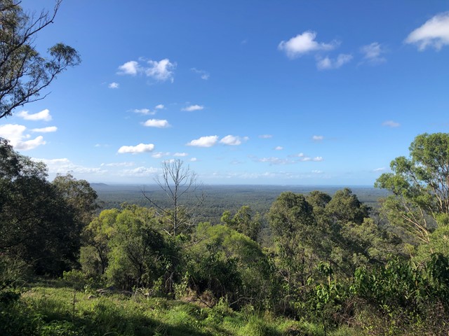


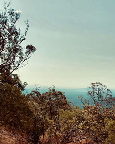

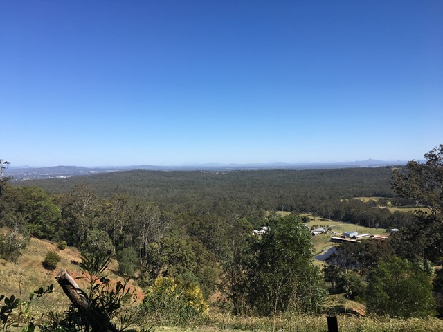

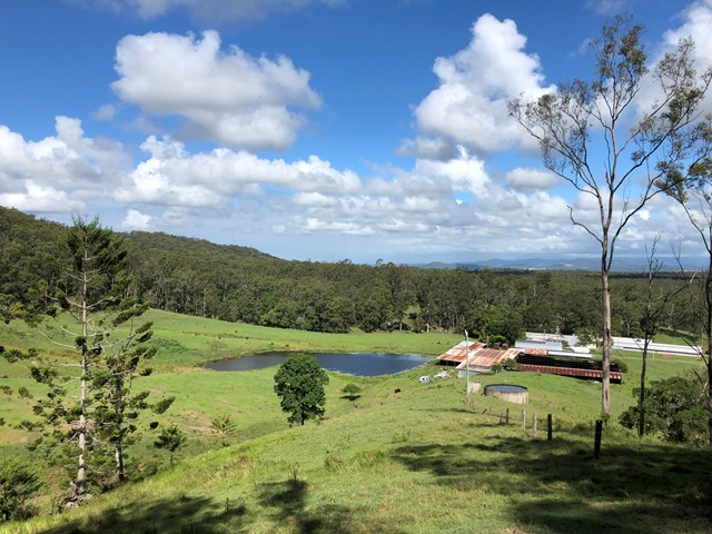

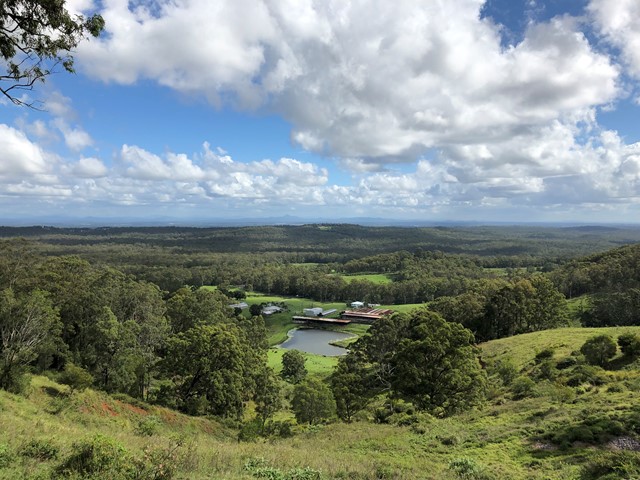
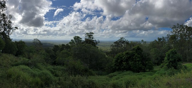


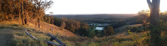
Great short walk up with good views out to Moreton, Moreton bay and Stradbroke islands and to city, Glasshouse Mountains, and mountains to south and west. The view makes this one of the most rewarding walks in the area. Park at foot of 640 West Mt Cotton Rd near roundabout opposite the quarry entrance.
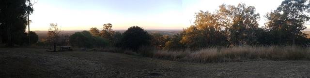
Lookouts
Picnic Facilities
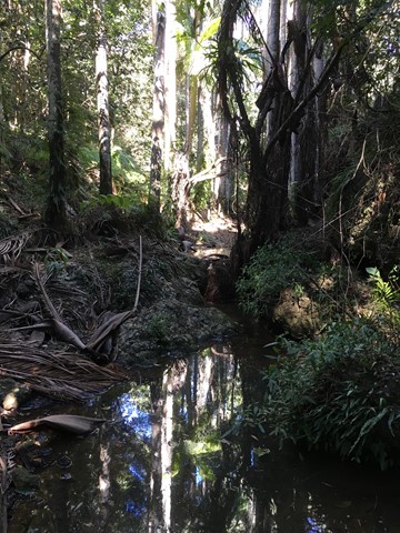
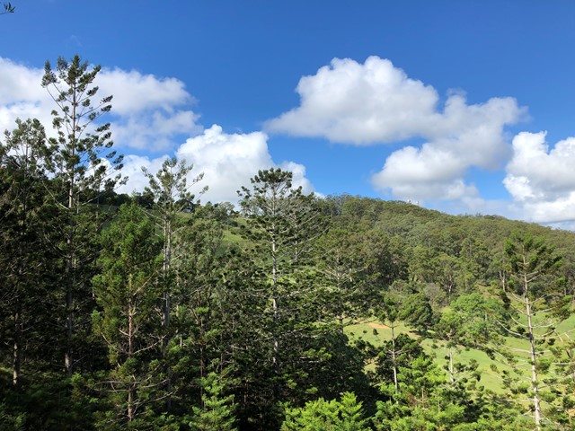
Eucalypt Forest
250m
Maximum Elevation
150m
Total Climb
Getting there
Several routes:
Via West Mt Cotton Rd and up the fire trail in the reserve. Park at the roundabout near the quarry on West Mt Cotton Rd (use 640 West Mt Cotton Rd, Sheldon in you GPS to find the roundabout). There's a signed entry to the bush on the eastern side of the roundabout.
Off West Mt Cotton Rd and up the Billau road fire trail - Left off Holzapfel Road. You GPS/Phone might not name these: they are about 400metres north of Talty Rd. This may be the steepest and shortest public route up.
Via Karingal Rd and then via trails from the scout compound.
Via Mount View Rd, a road reserve runs from the end of Mount View Rd to the top of the mountain, however it is difficult to navigate this without trespassing on the adjoining properties. Considering there other approaches to the mountain it is recommended that you don't use this approach. Road reserves are accessible to the public under Queensland law, but in this case there's no need to use this to reach the peak. To be clear, this road reserve does not go through the gate for the Rainforest Gardens.
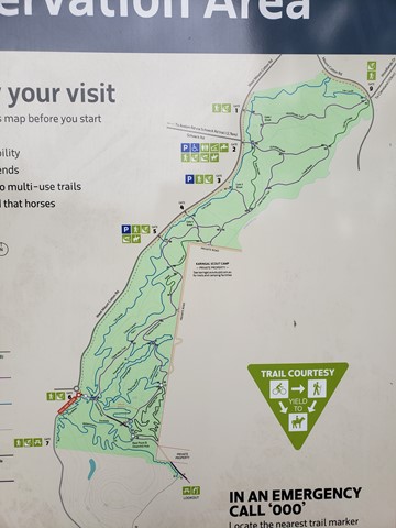
Maps
Google is your friend or use an app like maps.me, very good as most walking trails are on the download maps.
Route/Trail notes
From West Mt Cotton Rd and up the fire trail in the reserve - Follow the track, keeping right at each intersection until you reach the road close to the top. At that road turn left and follow the track up to the summit. From this entry it's approximately 3.5km return and about 150m elevation gain. This is the best entry for the public.
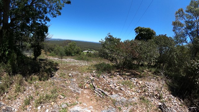
Off West Mt Cotton Rd and up Billau rd - obvious route straight to the top: Steep. When parking at the bottom do keep out of the way of the Farm driveway - they swing trucks in. At about 60% of the way up gain good views of Brisbane CBD.
From Karingal there are many trails/fire trails.
Walking is easy with a couple of steeper sections that will get your heart going. The fire trail route is pretty straightforward up to the top.
After you reach the summit and enjoy the views, make sure to follow a little further along the ridge to get a great lookout to the west. The vista includes Mt Lindesay, Mt Barney, Mt Maroon, and Flinders Peak.
Permits/Costs
No permits or costs, just be careful of private property.
GPS Tracks
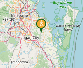
Where
Click here to load this map.
Comments