


 White Rock Ridge Trail (GPX)
 6.5
6.5 2
2- White Rock Multi-User Trail (White Rock - Spring Mountain Conservation Estate)
- Six Mile Creek Track (White Rock - Spring Mountain Conservation Estate)
- Little White Rock Lookout Circuit (White Rock - Spring Mountain Conservation Estate)
- Little White Rock Track (White Rock - Spring Mountain Conservation Estate)
- Bluff Lookout Circuit (White Rock - Spring Mountain Conservation Estate)
White Rock Ridge Hike
White Rock - Spring Mountain Conservation Estate
Menu
GPS Tracks
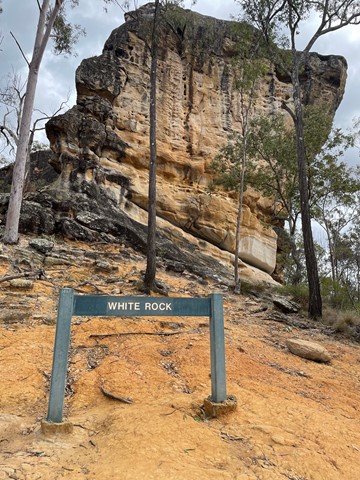
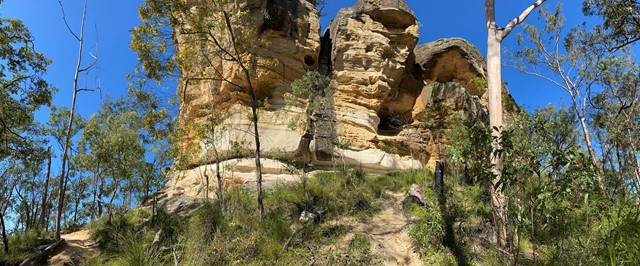
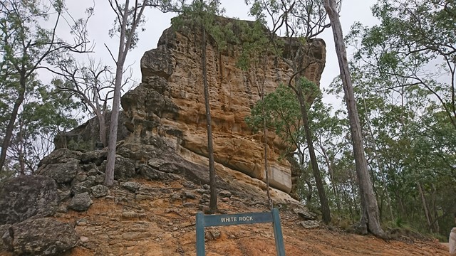

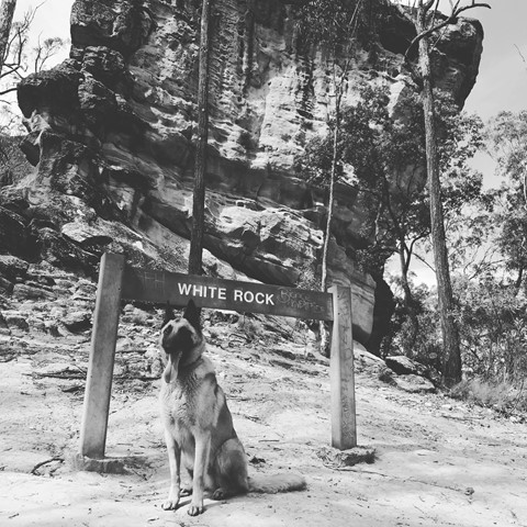


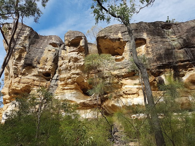
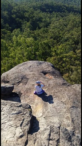

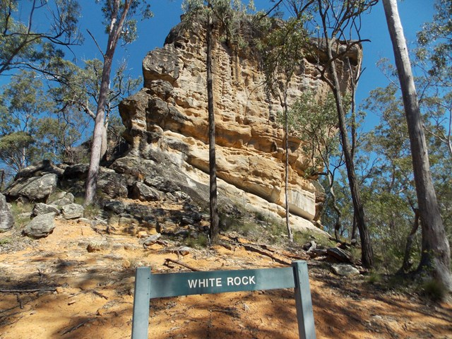
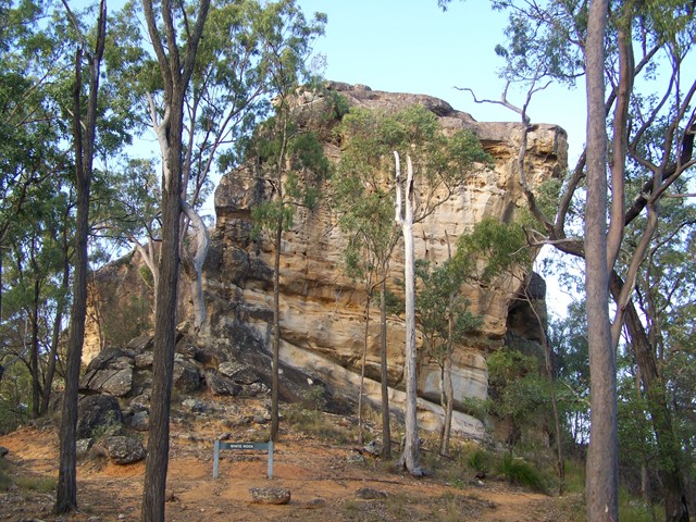
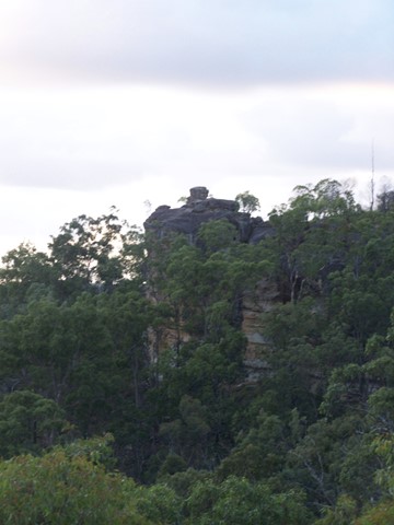
A pleasant walk with a short bit of scrambling up to the impressive White Rock. A sacred site for local indigenous people, the custodians of the site request that you do not climb White Rock.
Lookouts
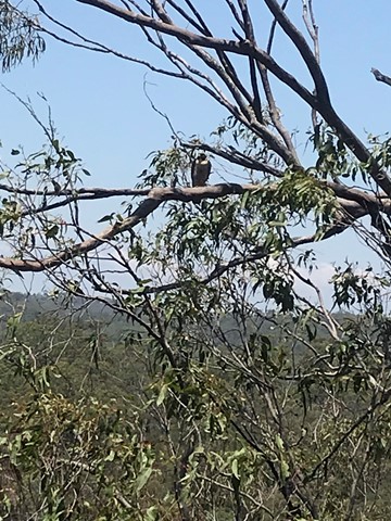
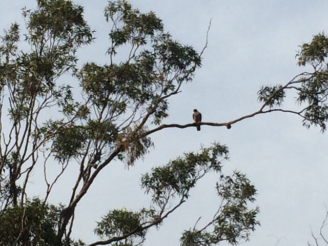
Bird Watching
Picnic Facilities
Toilets
Scrambling or Climbing
No Dogs Permitted
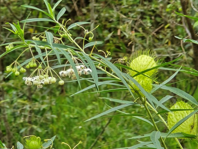
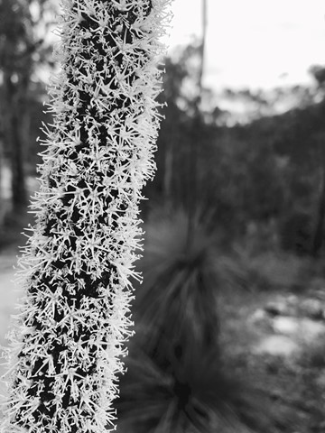
Eucalypt Forest
183m
Maximum Elevation
152m
Total Climb
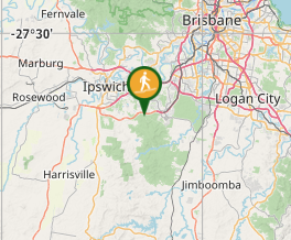
Getting there
How do you get to the start of the walk?
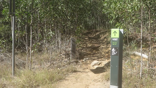
From Paperbark Flats picnic area, follow the multi user trail about 1.2km until it cuts a haul road and turns left. Signs direct you right for the multi-use trail. Rather than turning, follow the road east for another 50 metres, and there is a small sign marking the start of the ridge hike on the right.
(Note that the map at the picnic area does not show the haul road, and would lead you to believe the ridge hike is directly off the multi use trail. The map attached below gives a better idea)
Maps
Which maps cover the area?
http://www.ipswich.qld.gov.au/documents/health/white_rock_spring_mountain_trails_guide.pdf
Route/Trail notes
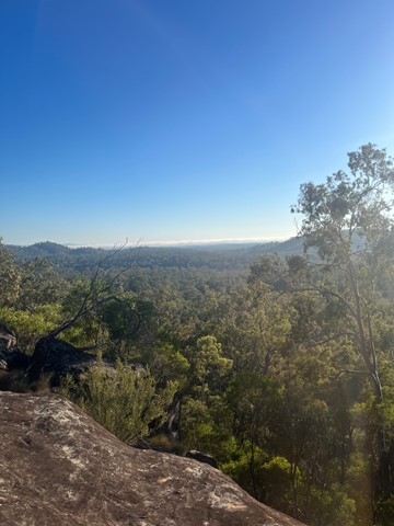
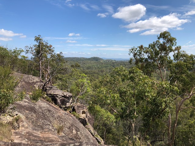
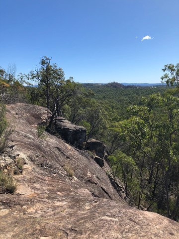
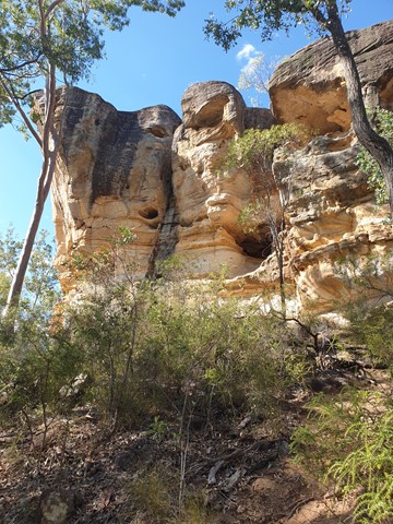
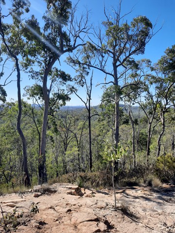
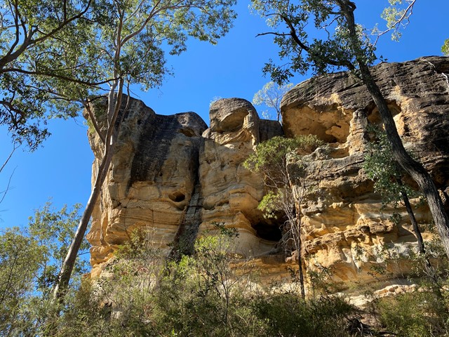
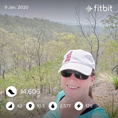
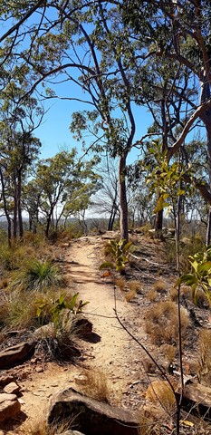
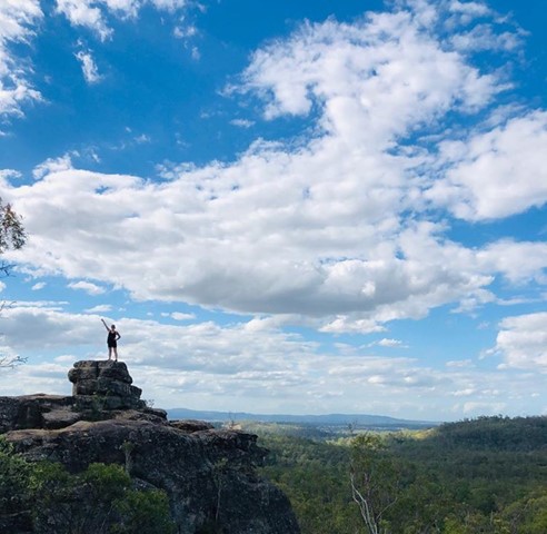
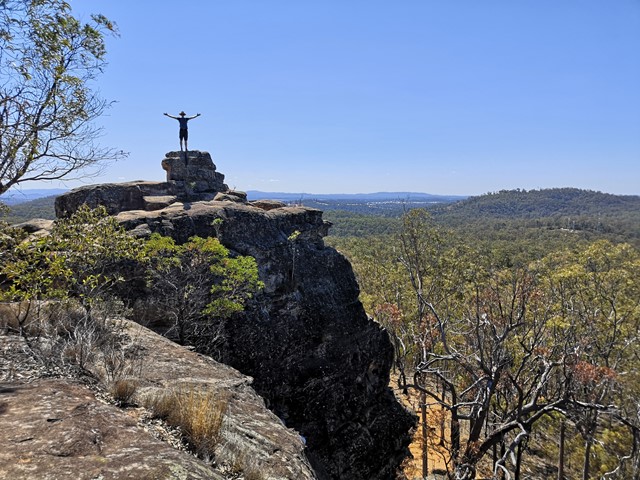
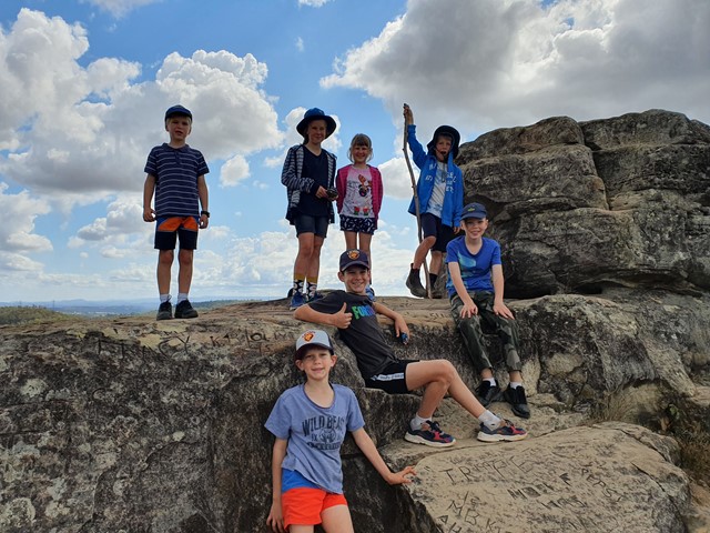
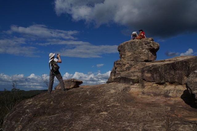
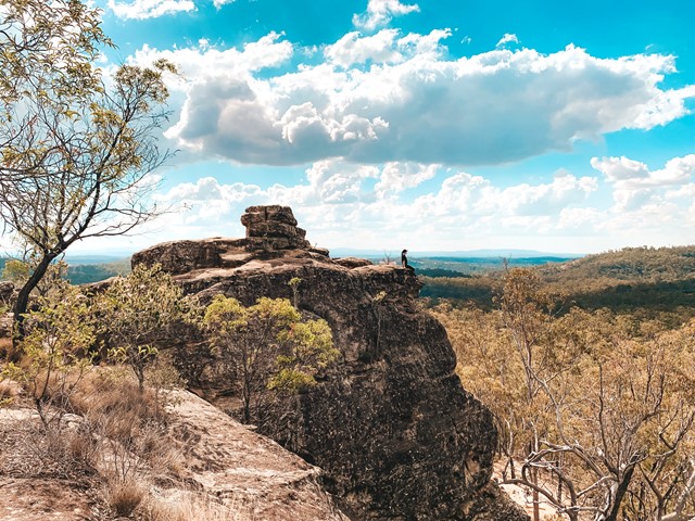
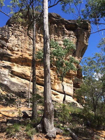
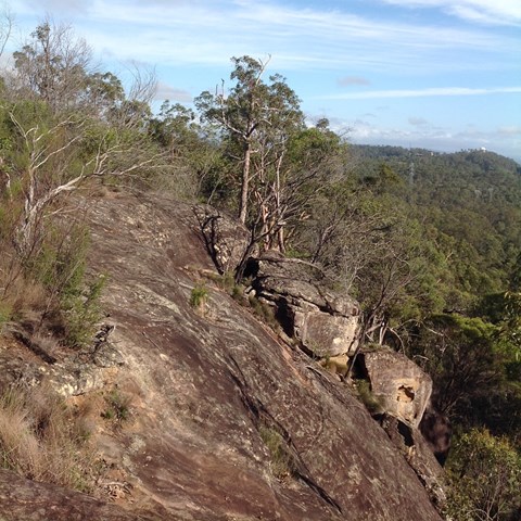
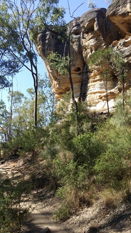
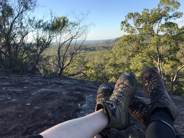
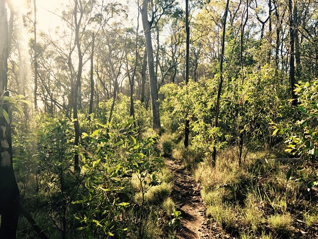
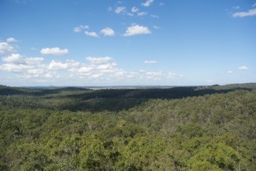
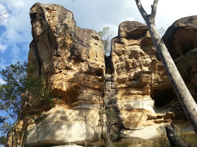
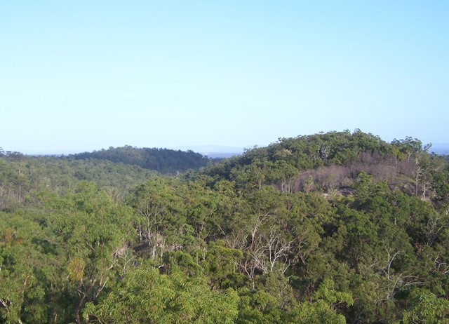
The track is obvious, but narrow and rough, and not well signed. There are no trail markers after the first couple of hundred metres, which involves a moderate climb up onto the ridge. Depending on the state of vegetation, there are views to the north all the way to Brisbane. On reaching a rocky outcrop, White Rock can be seen across a col, but the track appears to peter out. Casting around to the south reveals the last trail marker, directing you down a cleft leading down to the col. The descent is relatively straightforward, but requires caution descending the cleft. A few hundred metres easy walking to White Rock, where there are benches to rest and enjoy the peace and quiet.
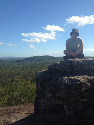
The rock can be climbed with a little effort and no specialised equipment, though it should be noted that this is a sacred site to local indentions people and the request you do not climb it. There are panoramic views in all directions from the summit (about 30 metres above the rest area)
Permits/Costs
Do you need any permits? What's the cost?
Access is free. Hiking does not require a permit. Gates open 6am to 6pm
Other References
How can I find more info? Any guide books?
GPS Tracks
Where
Click here to load this map.
Comments