


 Mount Edwards (KML)
 6
6 3
3- Mount Moon (South East Queensland)
- Mt Greville waterfall gorge, Northern face (Moogerah Peaks National Park)
- Mt Greville via Razor back ridge, waterfall Gorge, Bare rock, the ladder, the peak (Moogerah Peaks National Park)
- Mee-bor-rum Circuit (Moogerah Peaks National Park)
- Mt Greville: Waterfall Gorge/Palm Gorge circuit (Moogerah Peaks National Park)
Mount Edwards
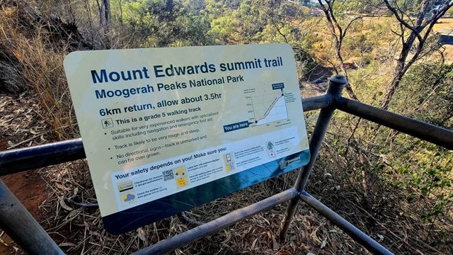
Moogerah Peaks National Park
Menu
GPS Tracks
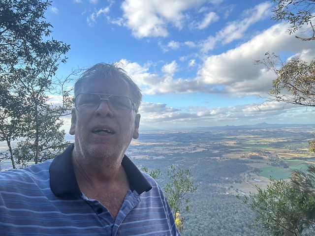
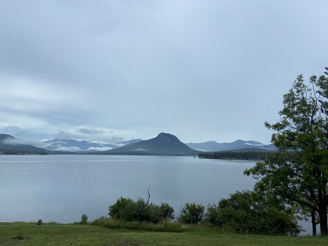
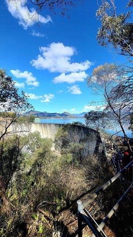
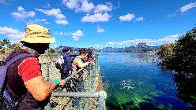
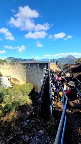
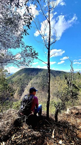

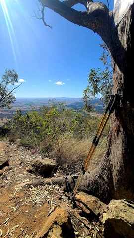
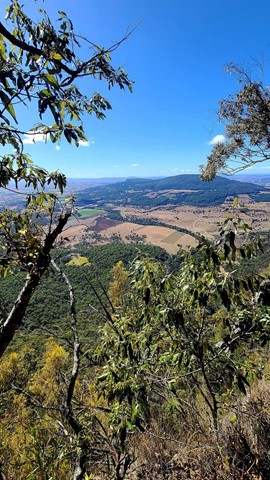
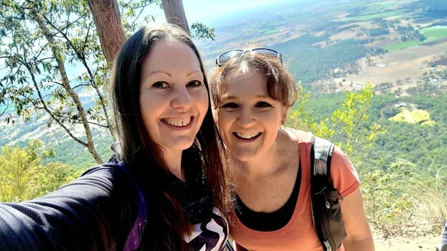
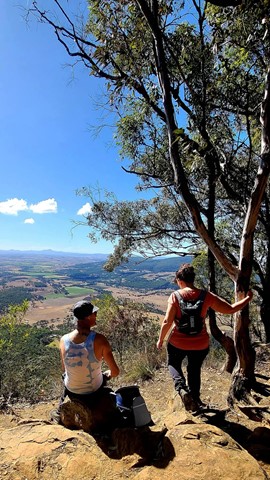
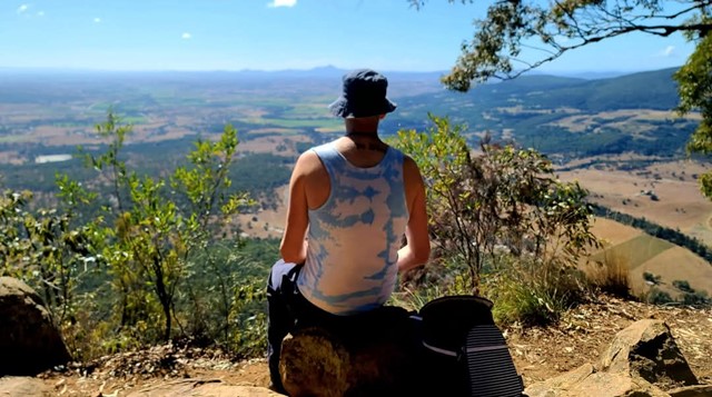
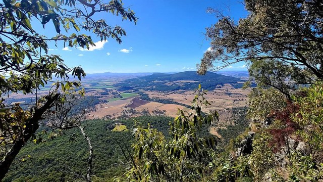
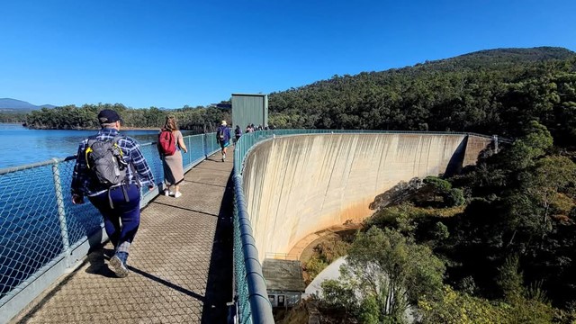
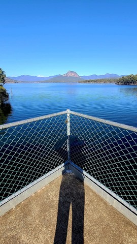
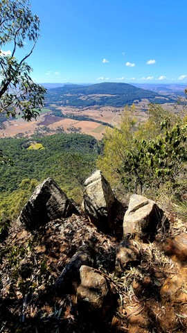
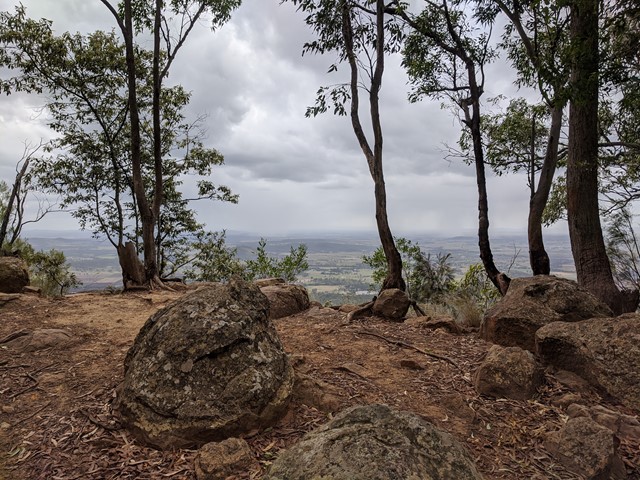
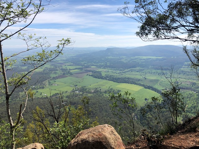
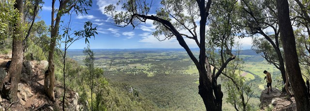


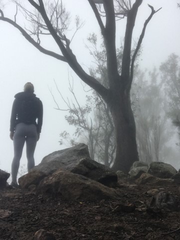
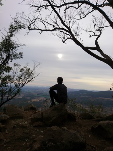
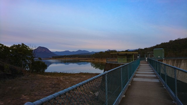
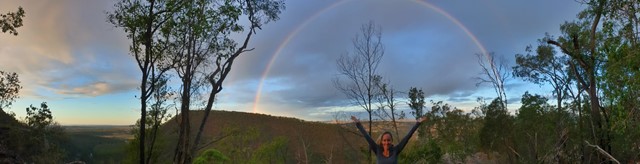

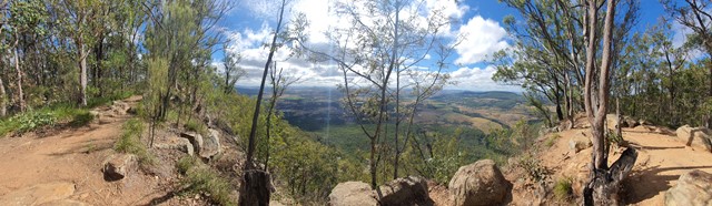
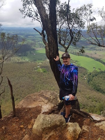
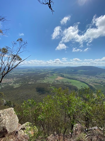
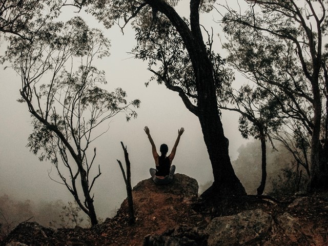
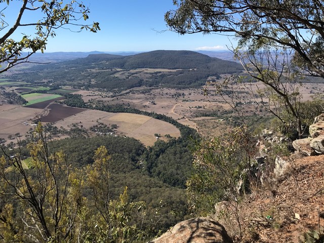

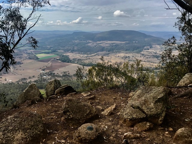


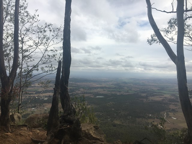
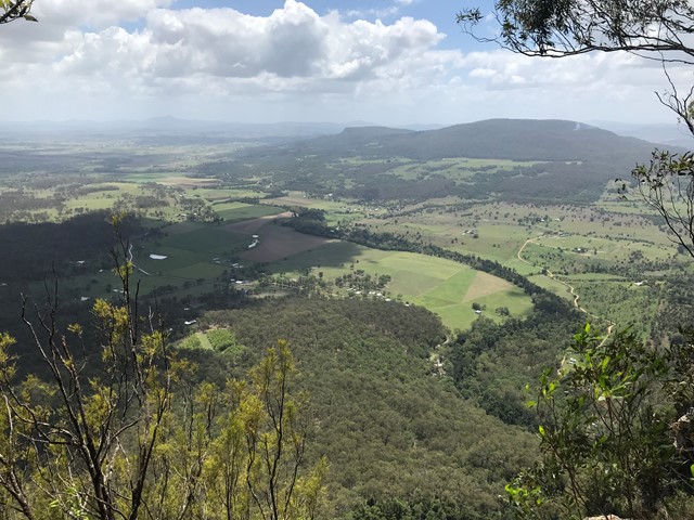

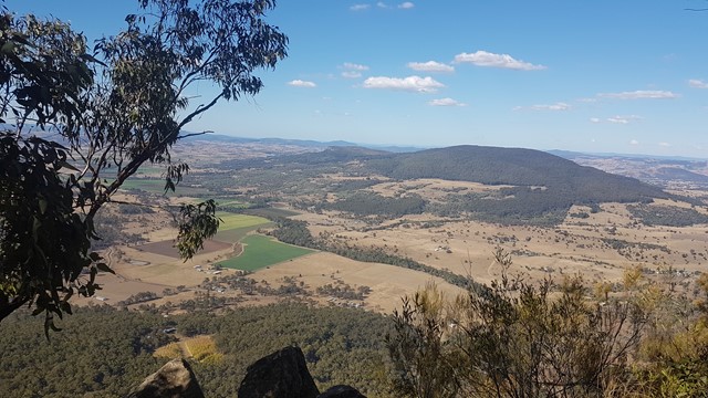
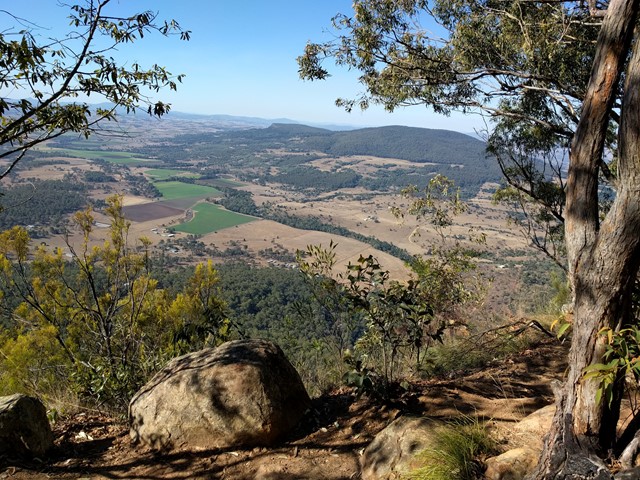

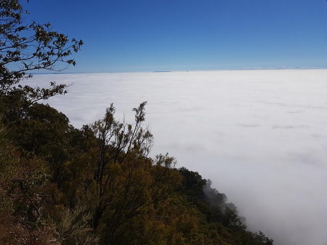
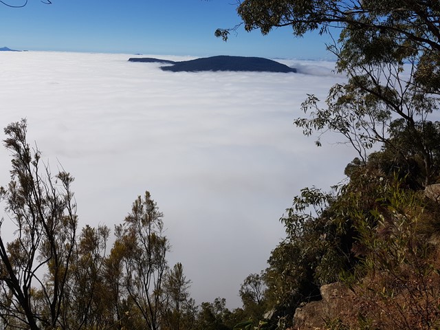
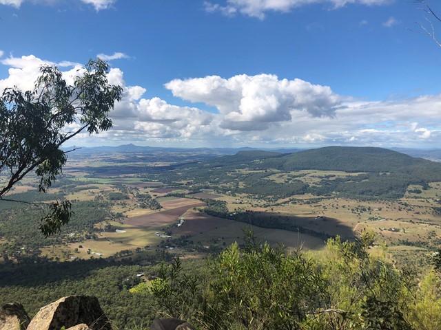
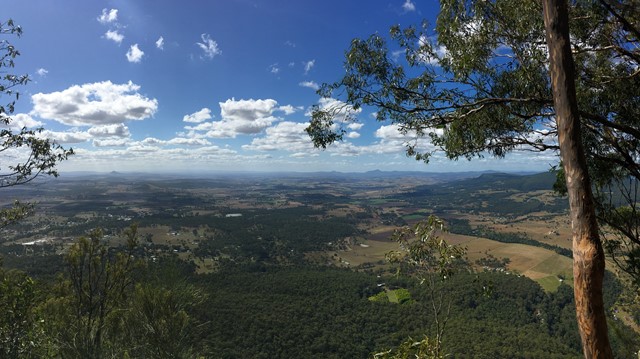
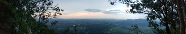
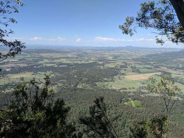

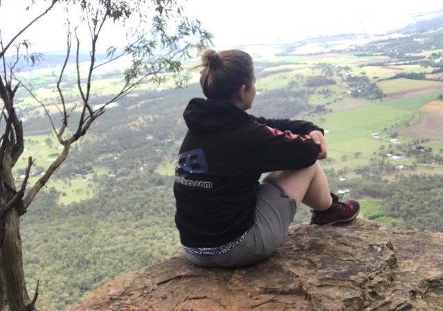


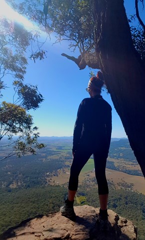
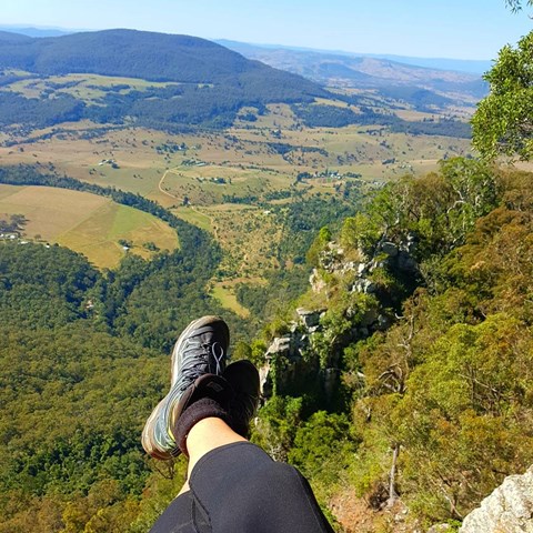
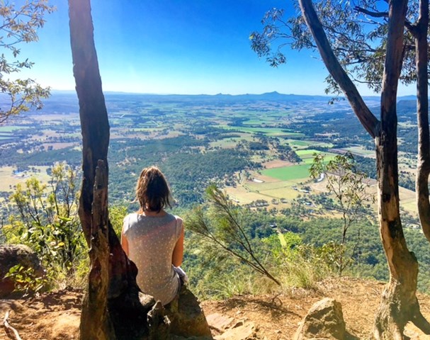
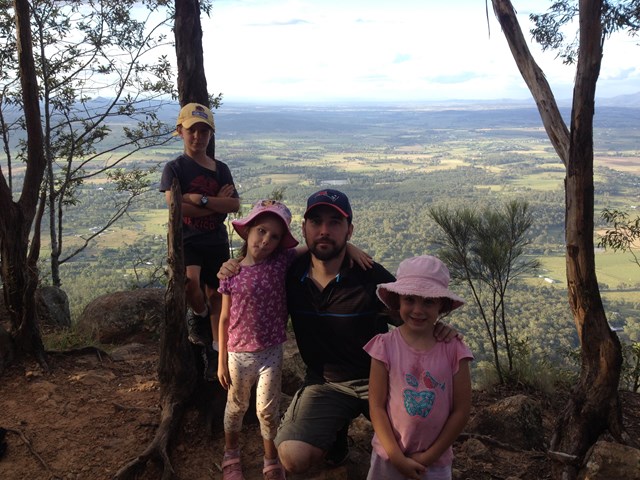
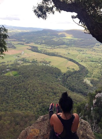
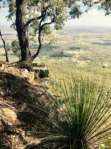

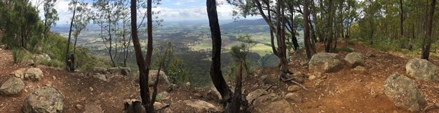
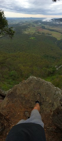
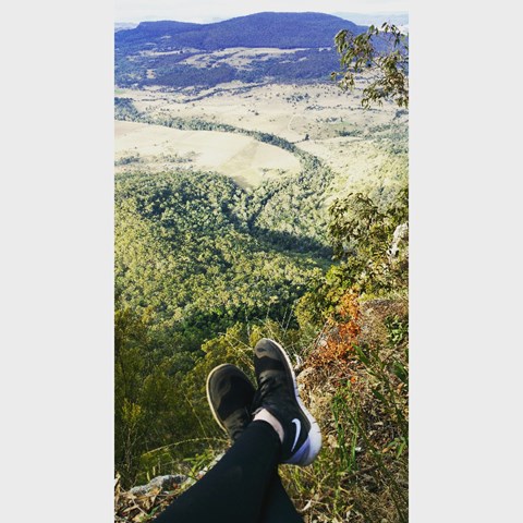
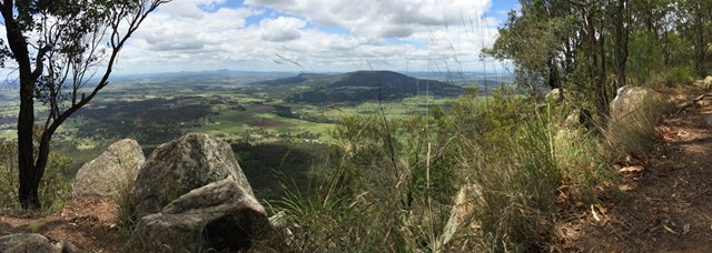
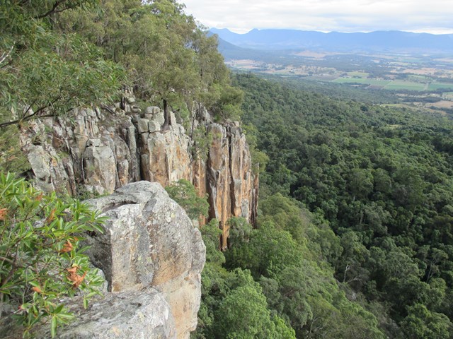

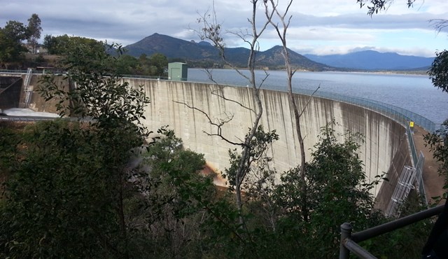
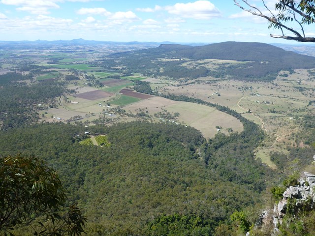
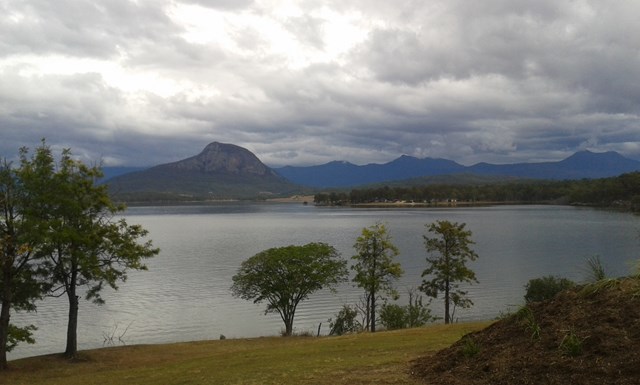

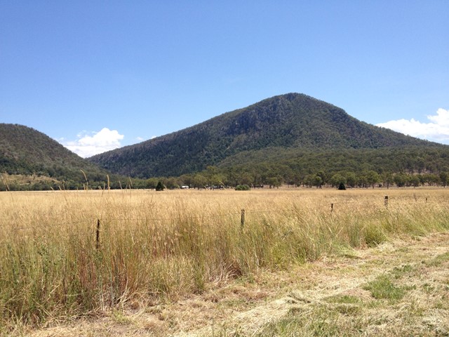

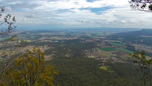

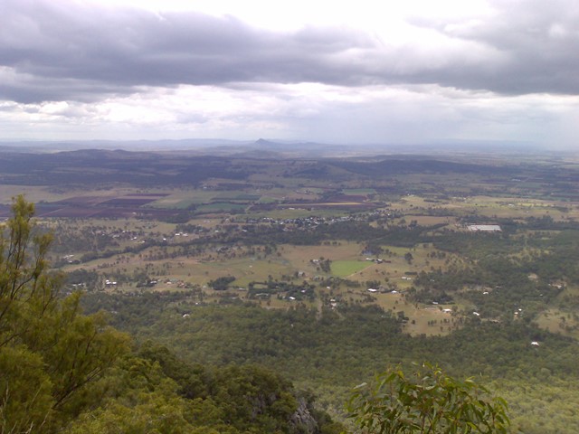
This hiking track takes you to the summit of Mt Edwards, the taller, conical-shaped peak beside Moogerah Dam. This trail crosses the dam wall then leads to the top the mountain with an elevation gain of almost 500m to really get your heart pumping. There is a lookout part-way up the track with views of Little Mt Edwards/Reynolds Creek below the dam wall, while the lookout at the summit faces north-east towards Brisbane and the Fassifern Valley.
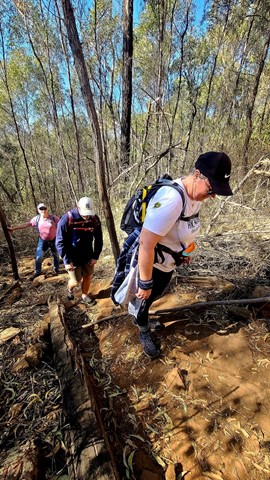
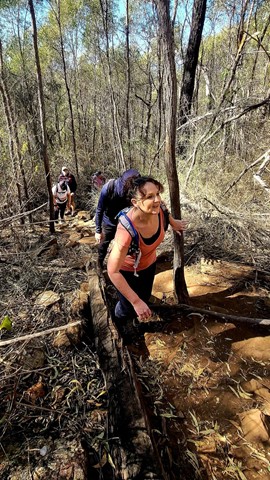
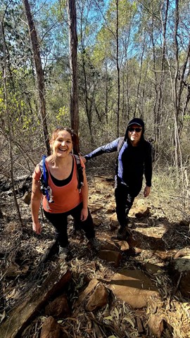
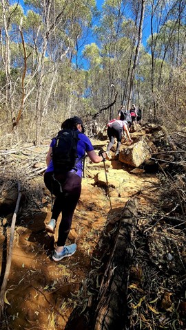
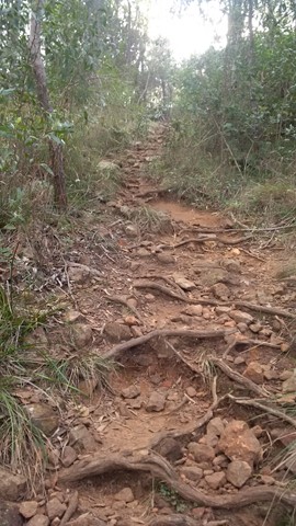
Officially listed as Grade 5/Very Hard difficulty (unsigned trail, loose/rocky surface, some tree falls/overgrown sections + steep incline), this trail is suitable for walkers with a moderate-high fitness level who are confident and well prepared (wear appropriate shoes, take plenty of water etc.).
Lookouts
Swimming
Picnic Facilities
BBQ
Toilets
Scrambling or Climbing
No Dogs Permitted
Eucalypt Forest
631m
Maximum Elevation
521m
Total Climb
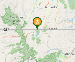
Getting there
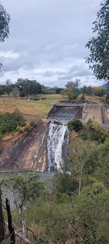
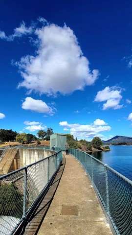
Follow the Cunningham Highway towards Aratula. Follow the signs to Moogerah Dam by turning onto Charlwood Rd, then right onto Lake Moogerah Rd. Continue for 2.7km then turn right onto Moogerah Connection Rd toward Fred Haigh Park. Park near the dam wall. Note: The roads to Moogerah Dam are sealed and suitable for 2WD, but they are also winding, busy at peak holiday times and often have water damage/livestock crossing on the road - take care.
Maps
Route/Trail notes
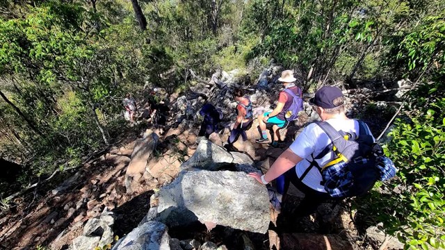
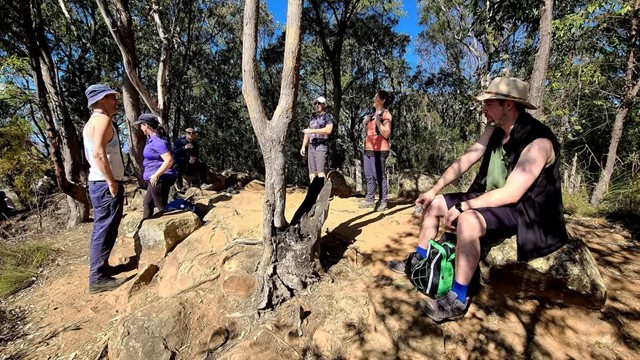
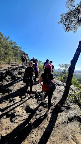
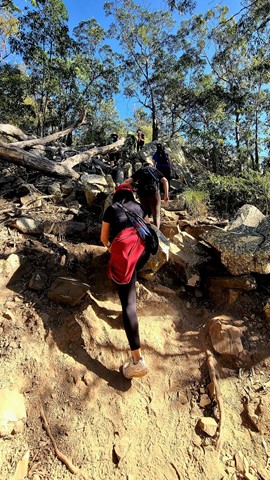
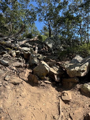
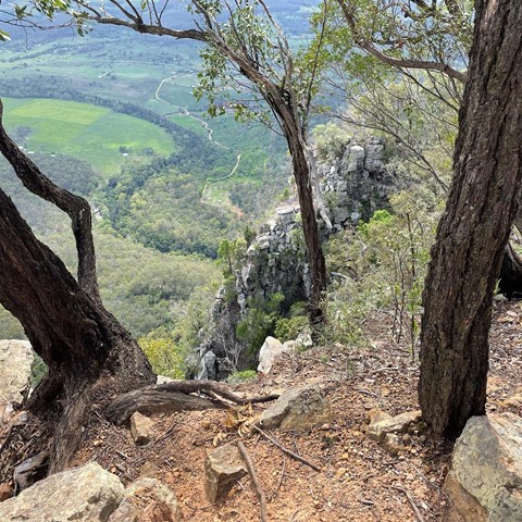
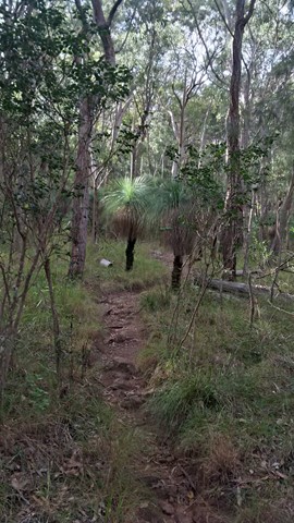
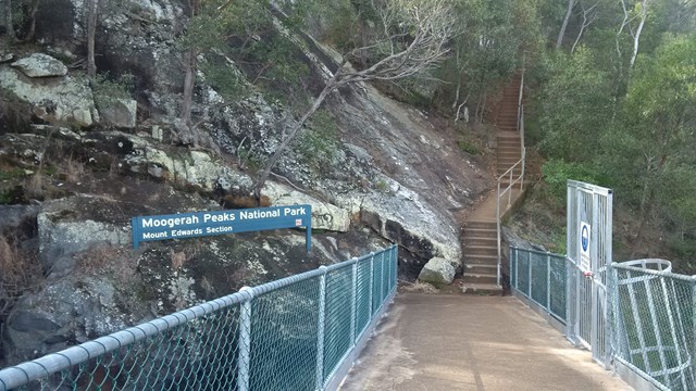
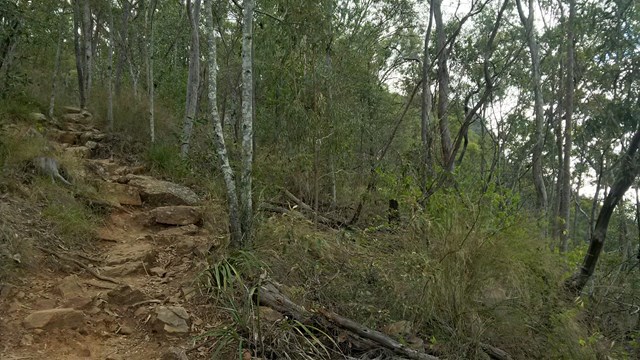
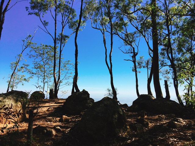
Walk across the dam wall and up a flight of steps to find the beginning of the track. The track is unsigned but well-used so it is clear to follow without a map. The hike to the summit can be divided into three parts. The first part is gradual rise to a rocky slab with good views of Little Mt Edwards and the gorge between them containing Reynolds Creek - be careful near cliff edges. The second section is steep, with larger boulders forming natural steps and lots of loose rocks so care is needed. The final stretch to the summit is a gradual rise again for about 600m, where the path may be overgrown with lantana. Once at the top you can explore left and right for different lookouts offering many vantage points (towards Brisbane - no view of the dam).
Permits/Costs
No costs required
Other References
http://www.nprsr.qld.gov.au/parks/moogerah-peaks/about.html#Mount_Edwards_summit
p244 Take a Walk in South East QLD ISBN 9780957793170
GPS Tracks
Where
Click here to load this map.
Comments