
Baxter Falls - Southern Approach
Kondalilla National Park


Menu
GPS Tracks
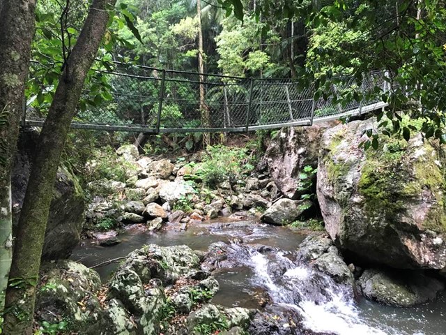


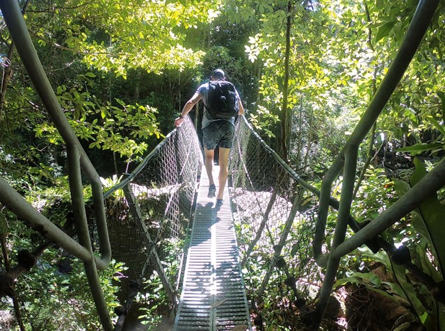


This walk leads through open eucalypt forest, past rocky outcrops and down the side of the gorge to Baxter Creek with its suspension bridge and beautiful waterfall.

Getting there:
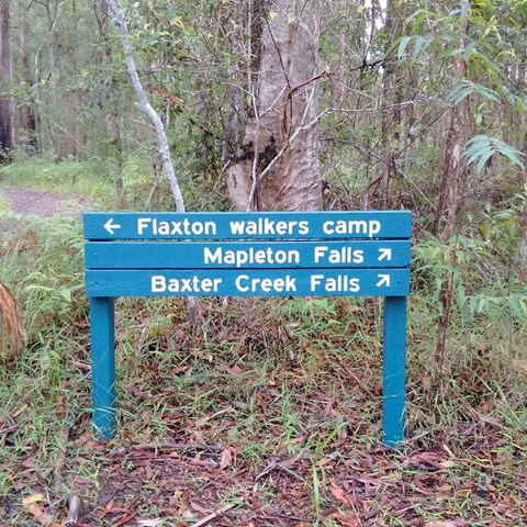
Head to Montville on the Blackhall Range and 4km beyond Montville at Flaxton, turn left into Flaxton Mill Road. Follow this for 1.5km and the car park is on your right opposite Old Mill Lane.
Maps:
Route/Trail notes:
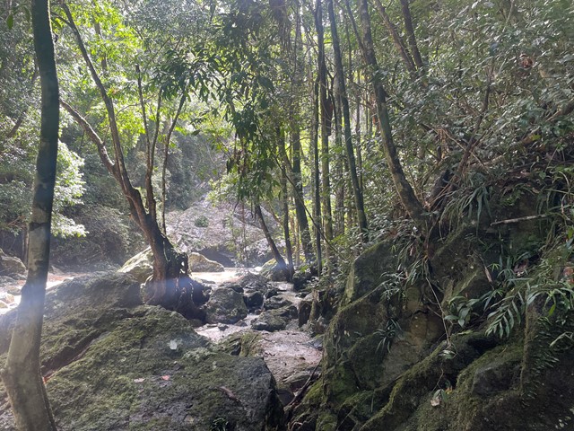
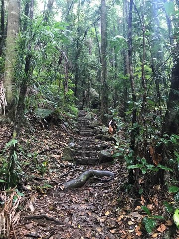
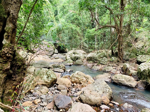
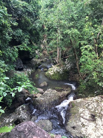
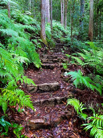
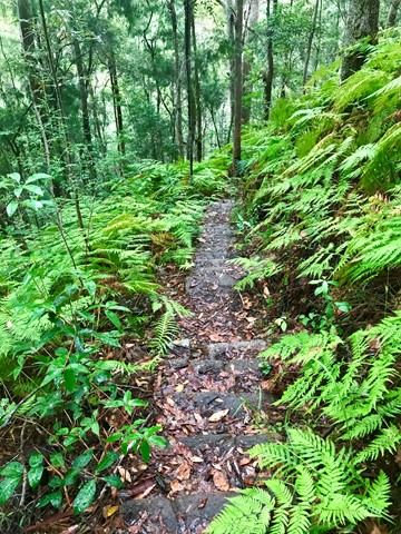
The walking track is signposted from the car park and starts off fairly easily through an open rainforest environment and past Flaxton Camp for 1.8km. For the next 1.5km you drop 230m to the bottom of the gorge. The track narrows, twists, turns and becomes considerably steeper with steps and the vegetation denser and more tropical
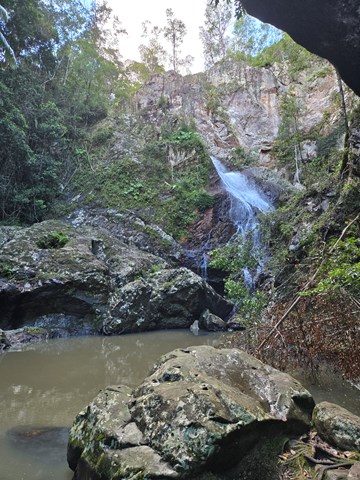
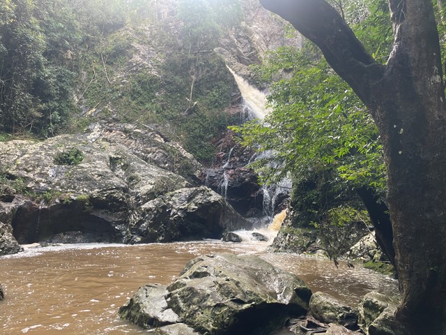
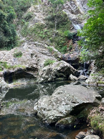
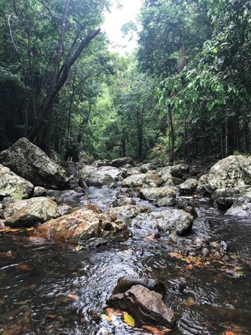
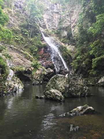
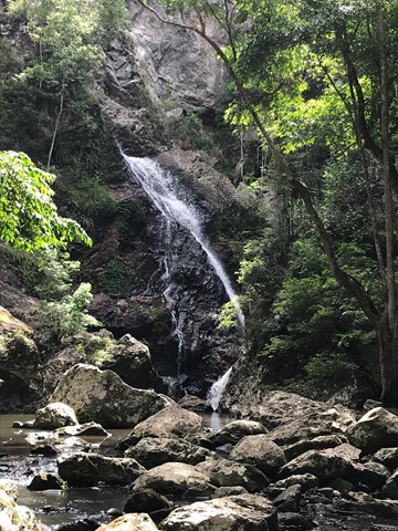
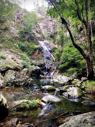
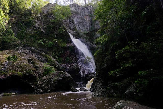
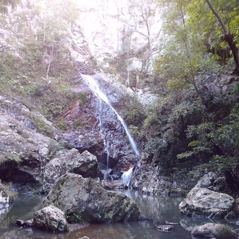
At the bottom cross the suspension bridge and back and then follow the path down to the falls on your left. To get the best views, you can step stones to the far side, returning by the same route.
Permits/Costs:
None
Other References/Comments:
This walk forms part of the Sunshine Coast Hinterland Great Walk (58km) and you can continue a further 1.6km (Medium) to reach Suses Pocket Road. See 'Baxter Creek Falls - Northern Approach'.
Toilet facilities can be found at Flaxton Camp.
 232 Baxter Falls Southern Approach (GPX)
 7.6
7.6 3
3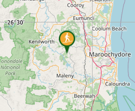
Comments