
Menu
Popular Walks
-
Wheel of Fire walk
(25 ticks) -
Sky Window Circuit
(23 ticks) -
Honeyeater Lookout
(21 ticks) -
Mt Rooper/ Swamp Bay
(19 ticks) -
Rainforest Discovery Circuit
(17 ticks)
Popular Walks
-
Wheel of Fire walk
(25 ticks) -
Sky Window Circuit
(23 ticks) -
Honeyeater Lookout
(21 ticks) -
Mt Rooper/ Swamp Bay
(19 ticks) -
Rainforest Discovery Circuit
(17 ticks)
History
Any interesting history for the region?
Features
What are the standout bushwalking features?
Access
How do you get there? Include all access points if there are many?
Maps
Which maps cover the region?
Accommodation
Where can I stay there? or near there?
Camping
Council Areas:
- Isaac Regional
- Mackay Regional
- Whitsunday Regional
- Livingstone Shire
Contact details
Contact details for National Park offices or similar...
Walks in Mackay, Isaac and Whitsunday

 1.3
km
return
1.3
km
return
 20
mins
20
mins
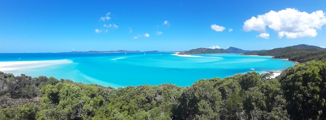
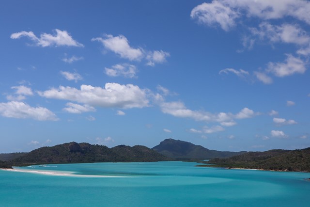
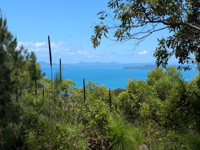
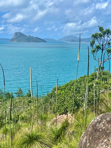
Hill Inlet Lookout
A short walk to the top of the lookout for stunning views of the shifting sands of hill inlet and Whitehaven beach.
 8.2
km
return
2
hrs
8.2
km
return
2
hrs
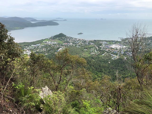
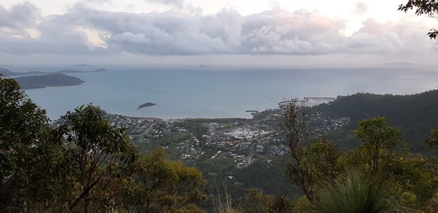
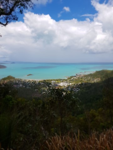
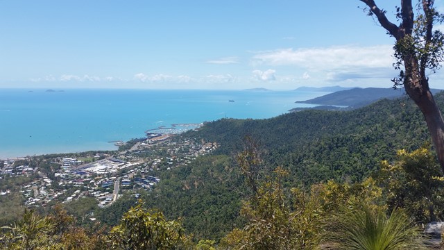
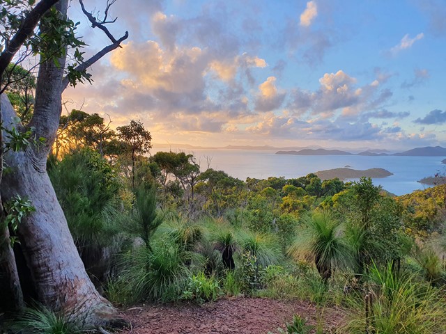
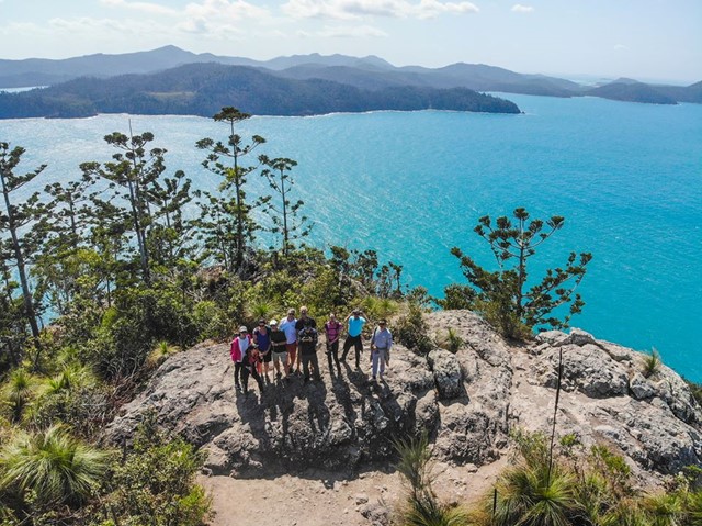
Honeyeater Lookout
A walk to a lookout overlooking the Whitsundays and Airlie Beach
 10.8
km
return
7
hrs
10.8
km
return
7
hrs
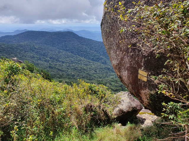
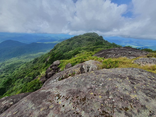
Mt Dalrymple
A long and challenging hike through thick rainforest to the summit of the highest mountain in Central QLD.
 7
km
2.3
hrs
7
km
2.3
hrs
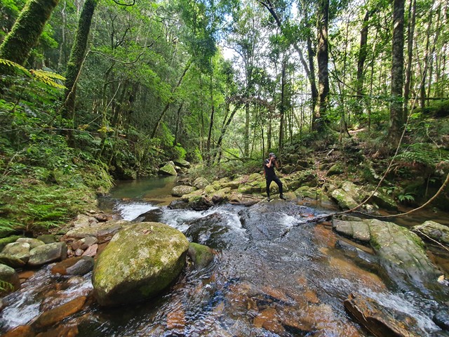
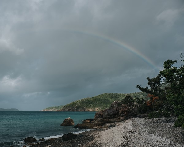
Mt Rooper/ Swamp Bay
An excellent walk on well made linked tracks to the top of Mt Rooper and Swamp Bay in the Conway National Park.
 13.9
km
one-way
13.9
km
one-way
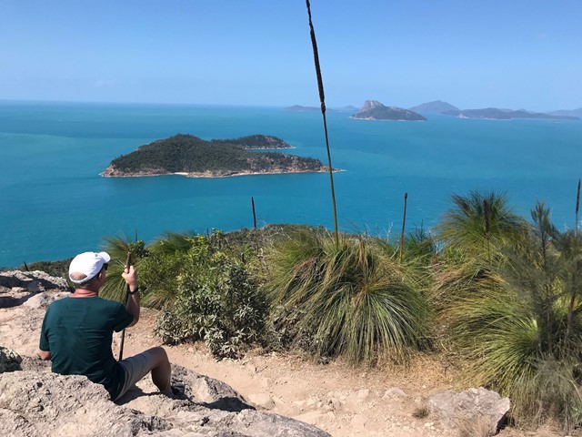
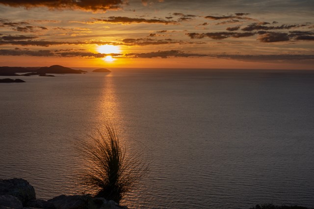
Passage Peak and Escape Beach
A combination of trails on Hamilton Island in the Whitsundays that combines sunrise from Passage Peak, a stop at the remote Escape Beach and views from the Resort Lookout. These can also be done as three separate walks. Stunning views from Passage Peak, which is the highlight of this walk.
 2.8
km
one-way
1
hr
2.8
km
one-way
1
hr
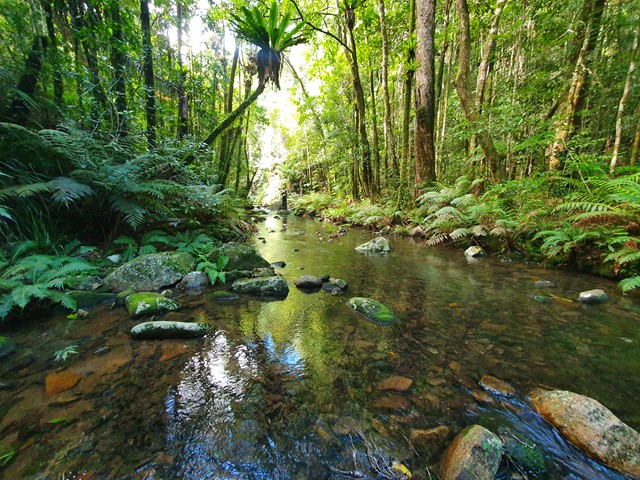
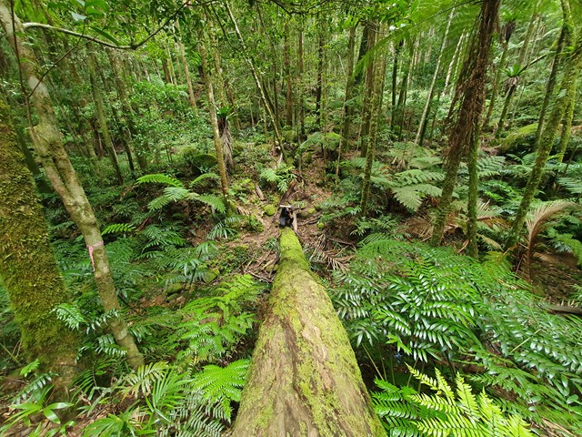
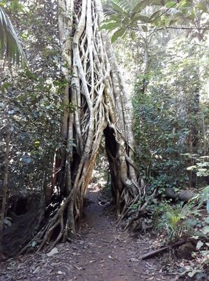
Pine Grove -Cedar Grove Track
A walk through rain forest which takes you through a strangler fig arch and past red cedars, tulip oaks and lots of palm trees. This track links the Pine Grove Carpark and the Sky Window carpark.
 1.6
km
5
mins
1.6
km
5
mins
Pine Grove Circuit
An easy walk through rain forest with glimpses of the Pioneer Valley.
780
m
return
20
mins
Rainforest Discovery Circuit
A short walk through rainforest with information boards and pictures by local school students.
 250
m
return
10
mins
250
m
return
10
mins
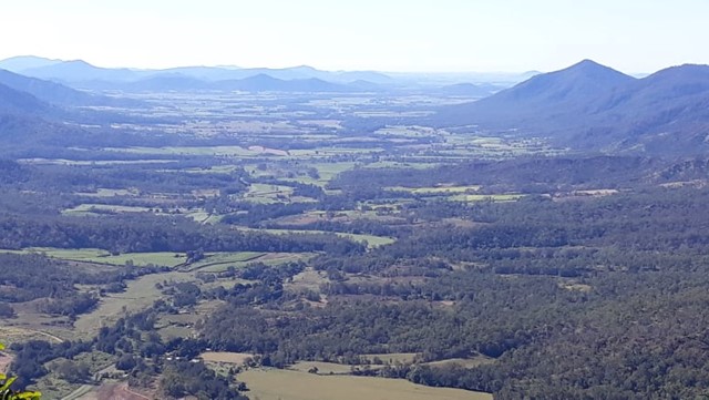
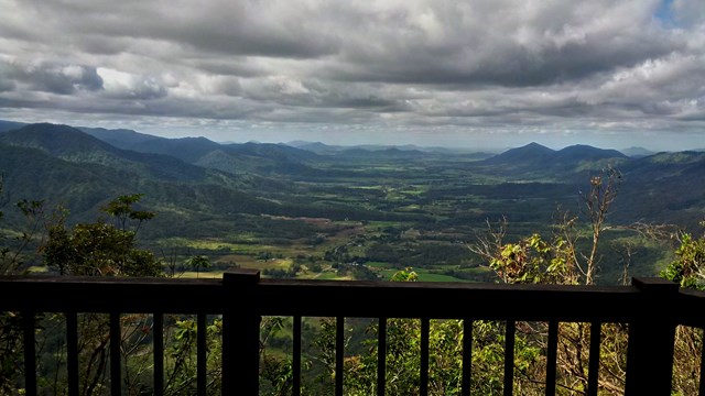
Sky Window Circuit
A short easy track that takes you to two lookouts over the Pioneer Valley