
Menu
Popular Walks
-
Hooker Valley Track
(20 ticks) -
Tongariro Alpine Crossing
(17 ticks) -
Milford Track
(14 ticks) -
Kepler Track
(13 ticks) -
Routeburn Track (At least to Harris Saddle and back)
(12 ticks)
Popular Walks
-
Hooker Valley Track
(20 ticks) -
Tongariro Alpine Crossing
(17 ticks) -
Milford Track
(14 ticks) -
Kepler Track
(13 ticks) -
Routeburn Track (At least to Harris Saddle and back)
(12 ticks)
Walks in North Island NZ

 6
km
return
6
km
return
 2
hrs
2
hrs
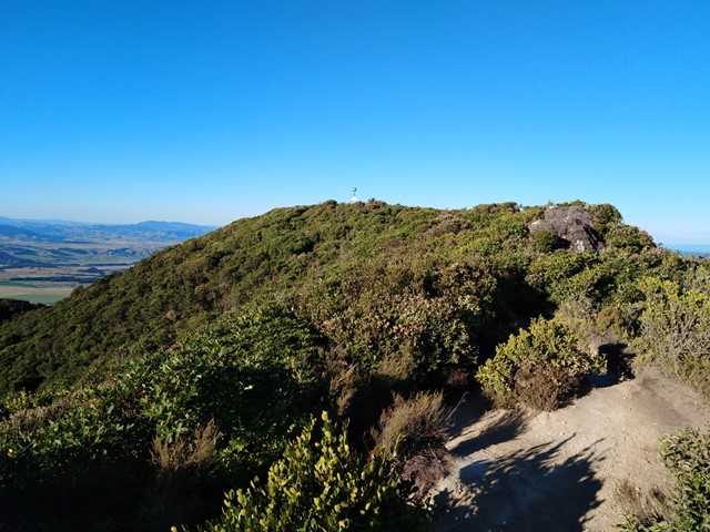
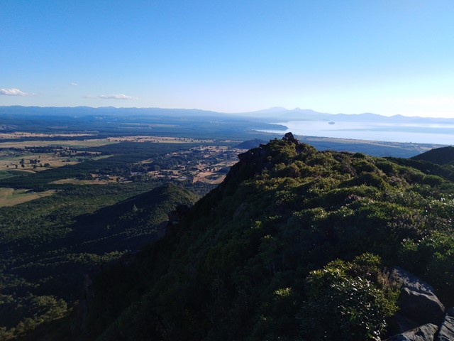
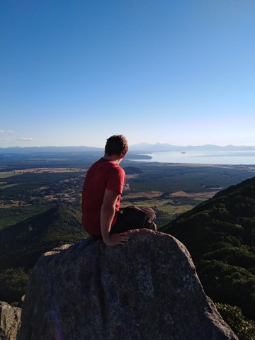
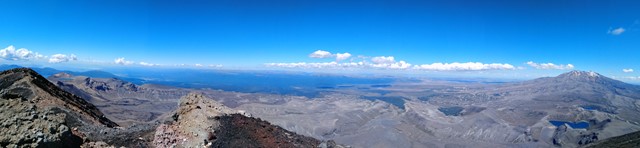
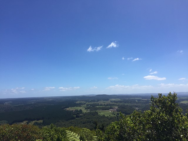
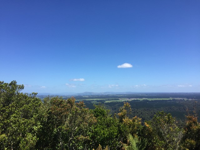
Mt Tauhara
A moderate hike to the summit that offers excellent views of Lake Taupo, Mt Ruapehu and Mt Tongariro. The track is very well marked however it branches off quite frequently, don't panic all tracks lead to the summit so you won't get lost. The summit has great views but the best views are a bit further down the ridge line on a rocky outcrop.
 8
km
return
6
hrs
8
km
return
6
hrs
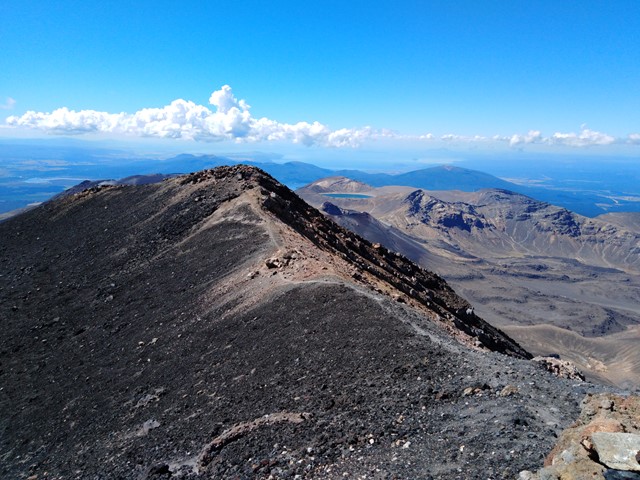
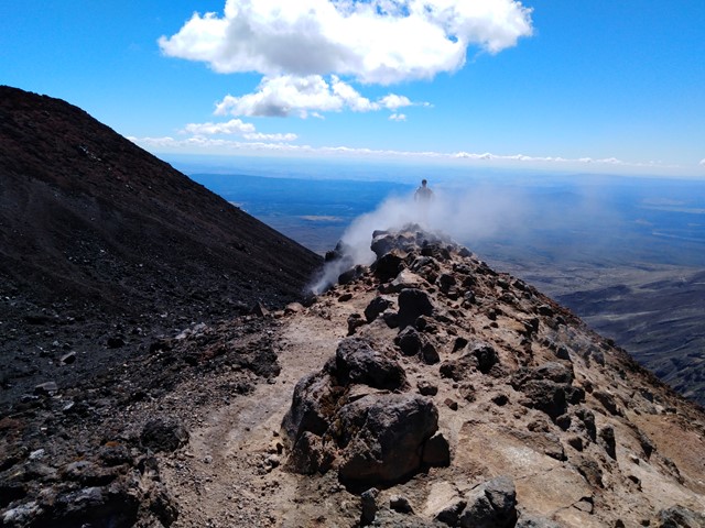
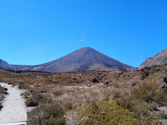
Mt. Ngauruhoe (aka Mt Doom)
The volcano where the one ring to rule them all was forged, or more accurately the volcano Mt Doom was modelled off for Lord of the Rings movies. Located just off the track on the Tongariro Crossing is a very intimidating climb to the summit of Mt Ngauruhoe. In recent years climbers have been encouraged not to climb it due to the dangers involved with climbing to the summit.
*On way up make sure to use the solid ground of the ridge line otherwise you will end up sliding down as much as you gain height with each step. This is very important to remember if you are going to try to summit Mt. Ngauruhoe.*
On the way down you will be able to 'scree ski' down which allows you to make it down the mountain very quickly around half an hour where as getting up would've taken around two hours.
 3
km
return
1
hr
3
km
return
1
hr
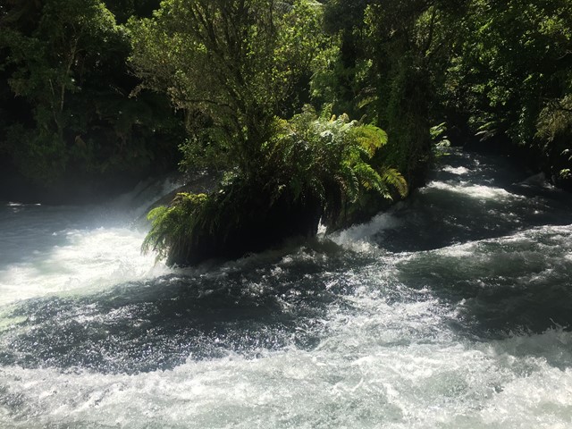
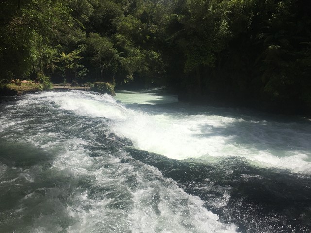
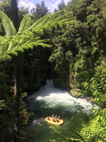
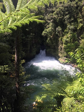
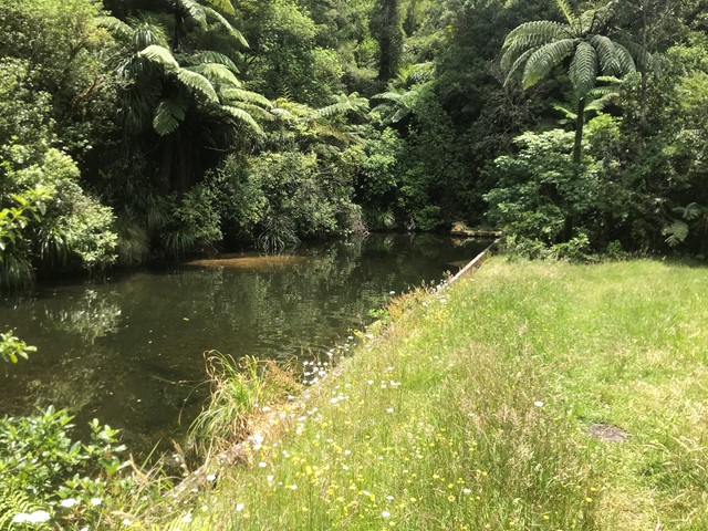
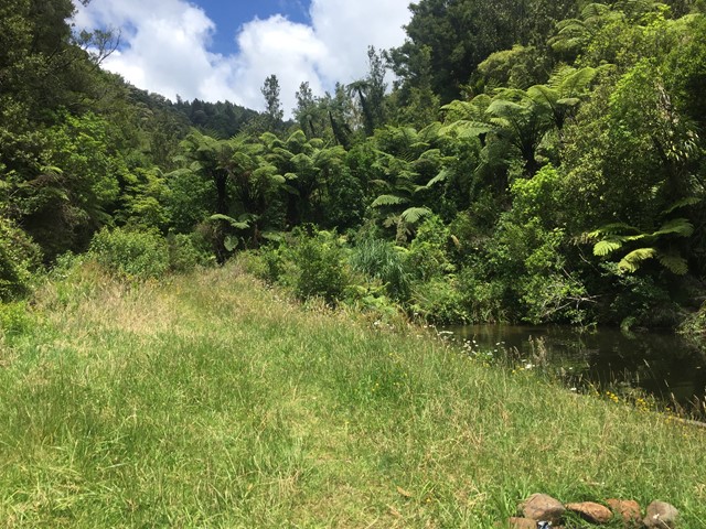
Okere Falls Track and Ridge Track loop
A walk in the Okere Falls Scenic Reserve following the Kaituna River. The Walk takes you to the Trout Pool, Trout Pool Falls, Tutea Falls, Hinemoa's Steps and Tutea's Cave and Okere Falls.
 3.5
km
return
90
mins
3.5
km
return
90
mins
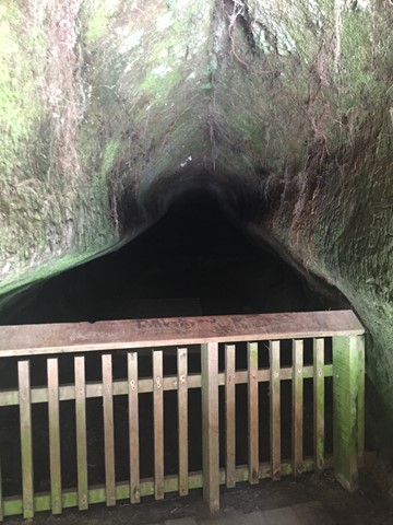
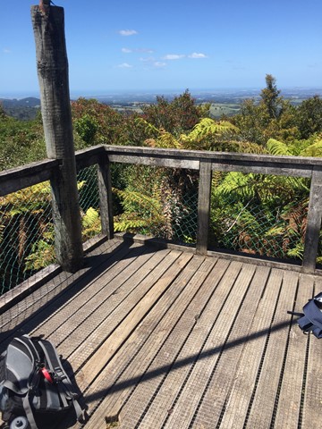
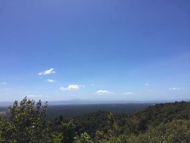
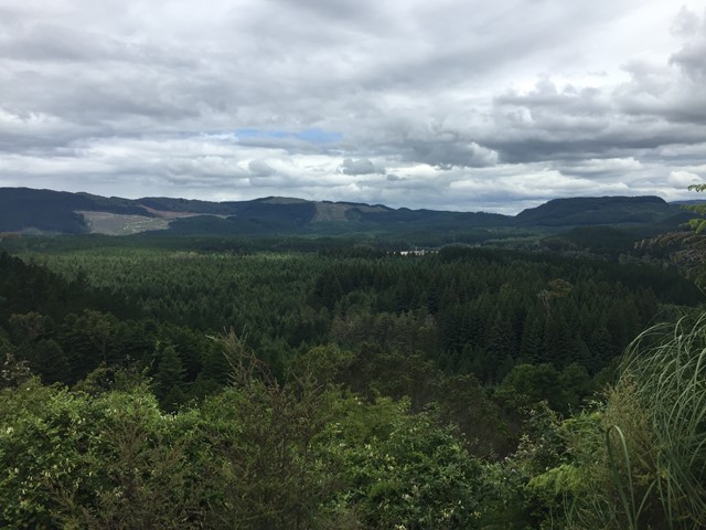
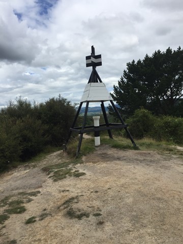
Otanewainuku Lookout Track
A walk in the Otanewainuku Forest Reserve to the top of Mt. Otanewainuku where there is a trig station with a tower for views.
 1.7
km
return
45
mins
1.7
km
return
45
mins
Otanewainuku Rimu Loop Walk
This gently graded walk with some impressively large rimu trees is suitable for walking children - it's not suitable for strollers or wheelchairs.
1
km
return
30
mins
Otawa Reservoir Track
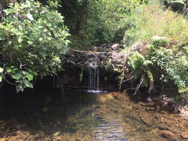
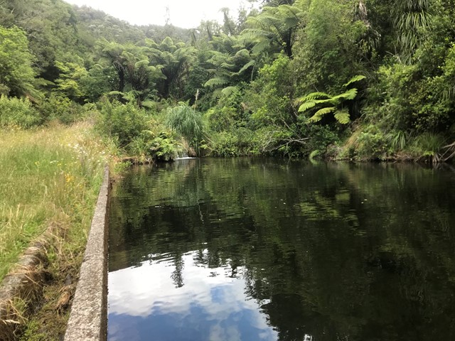
Located in the Otawa Scenic Reserve this short walk with multiple small creek crossings leading to a small clearing which houses Boro Dam Te Puke's original water source.
 5
km
return
3
hrs
5
km
return
3
hrs
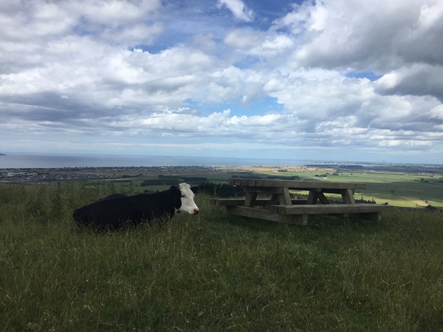
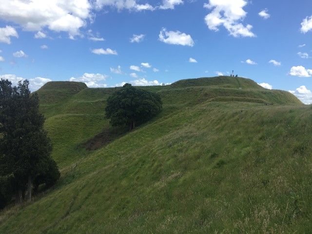
Papamoa Hills Karangaumu Summit Track + Te Rae o Papamoa Track
The walk is located in Pāpāmoa Hills Regional Park and offers 360 degree views as well as several maori pa sites.
 300
m
return
30
mins
300
m
return
30
mins
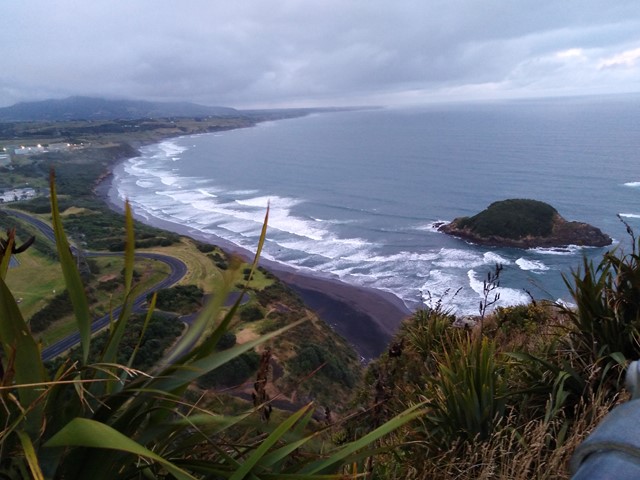
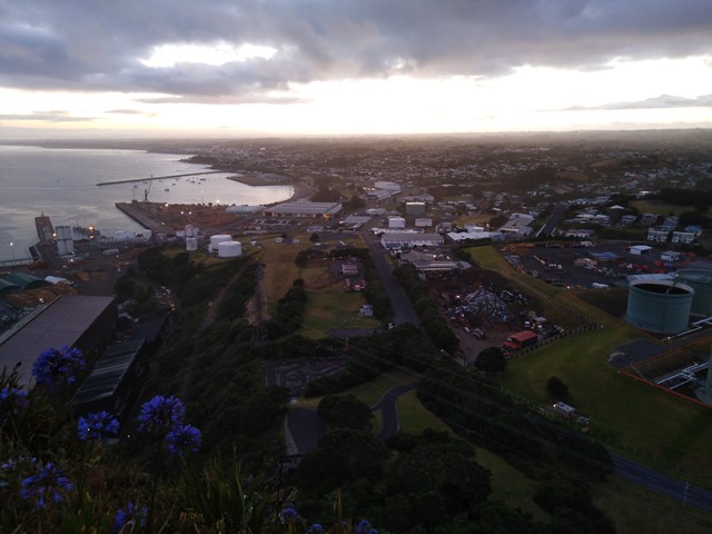
Paritutu Rock Summit
A short walk/scramble to the top of Paritutu Rock rewards you with premium coastal views perfect for watching the sunset. Located minutes from downtown New Plymouth.
 3.2
km
return
1
hr
3.2
km
return
1
hr
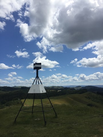
Pohaturoa Summit & Lookouts
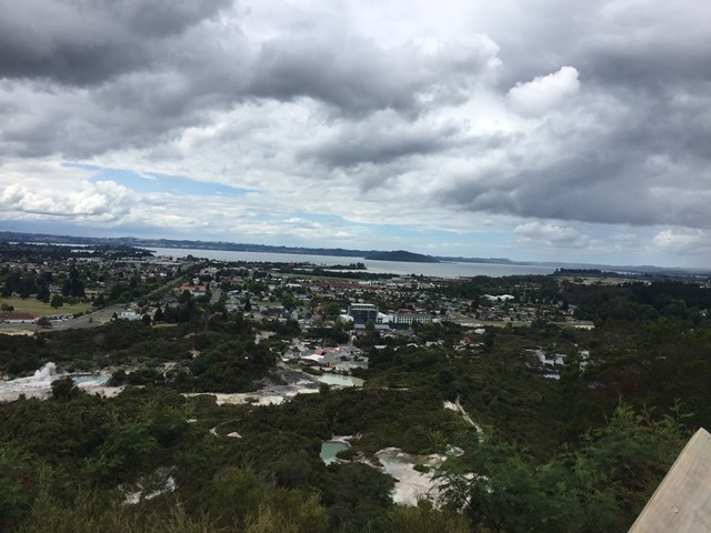
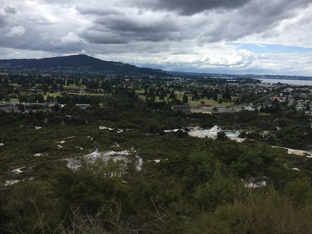
This walk is in The Redwoods or Whakarewarewa Forest and takes you to the summit of Pohaturoa which is marked by Trig B26Q. It takes you to Lower Whaka and Upper Whaka Lookouts, Trig Lookout and Waipa Lookout. The Whaka Lookouts give views of Rotorua, Lake Rotorua, Whakarewarewa Thermal Area which includes Pohutu Geyser which is said to be the largest active geyser in the Southern Hemisphere, Mt Ngongotaha, Mokoia Island and more while the Trig and Waipa Lookouts look south. A bubbling mud pool is also passed on the way up.
Watch out for mountain bikes, horses and dogs as they can share some paths with you. There are a lot of different paths as there are many exclusively mountain bike tracks so try not to stray onto them.
 700
m
return
30
mins
700
m
return
30
mins
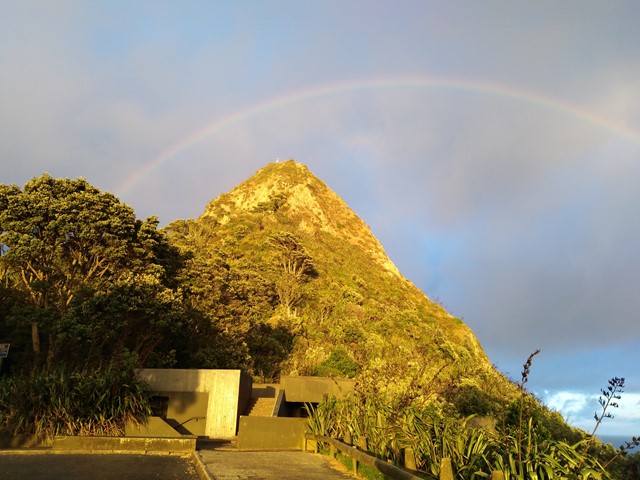
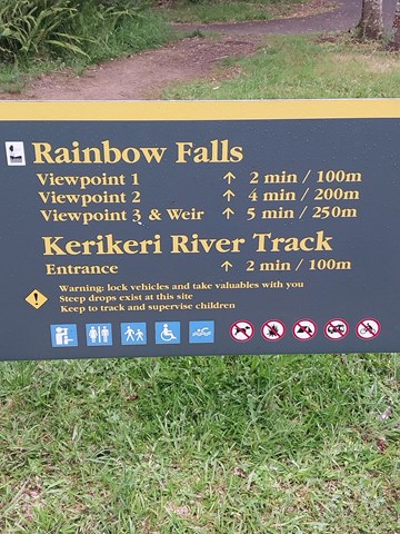
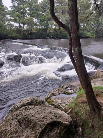
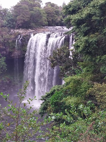
Rainbow Falls
The Rainbow Falls is a single-drop (27m) waterfall located on the Kerikeri River near Kerikeri. Unlike most New Zealand waterfalls which are created by the erosion of soft rock, the Rainbow Falls are sited on a hard basalt layer of rock beside softer mudstone.