
Otanewainuku Lookout Track
North Island NZ


Menu
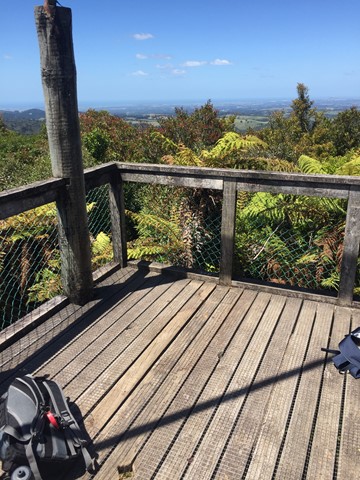
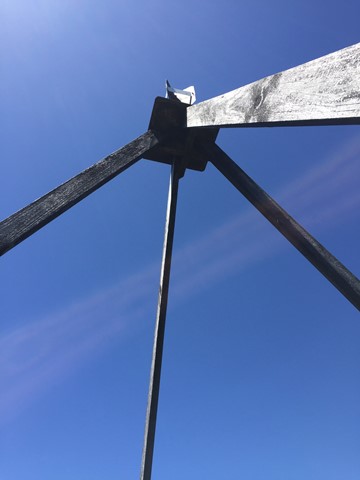
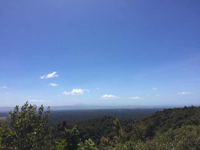
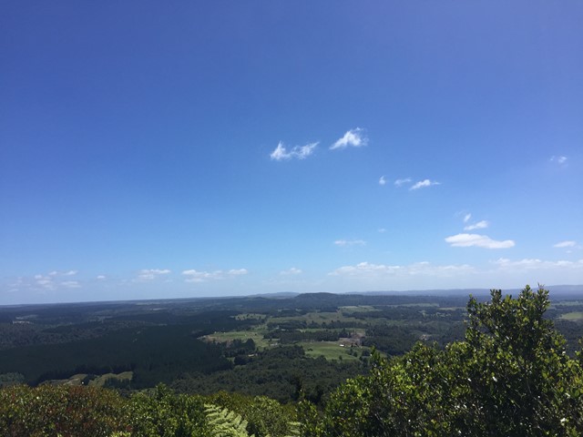
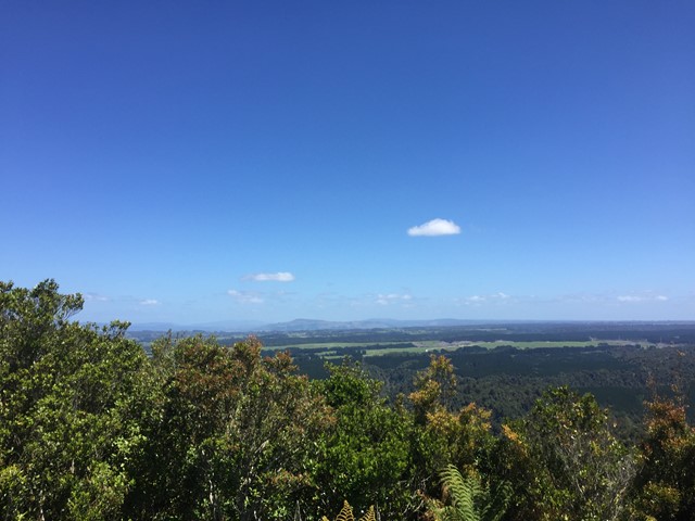
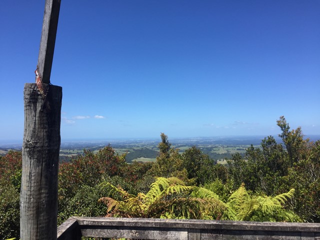
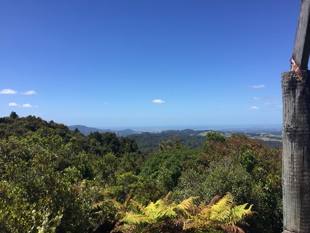
A walk in the Otanewainuku Forest Reserve to the top of Mt. Otanewainuku where there is a trig station with a tower for views.
Lookouts
Picnic Facilities
Toilets
640m
Maximum Elevation

Getting there
How do you get to the start of the walk?
From Mountain Rd.
Maps
Which maps cover the area?
Maps of Otanewainuku Forest.
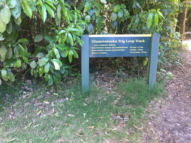
Trail notes
A detailed description of the walk!
A loop walk from the carpark either way is fine easy trail to follow.
Permits/Costs
Do you need any permits? What's the cost?
Free
Other References
How can I find more info? Any guide books?
GPS Tracks
- No GPS available for this walk yet.
 3.5
3.5 90
90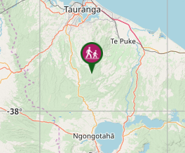
Comments
Nobody has commented on this walk yet. If you've done it then tick it off and add a comment.