
Otawa Reservoir Track
North Island NZ


Menu
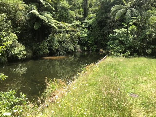
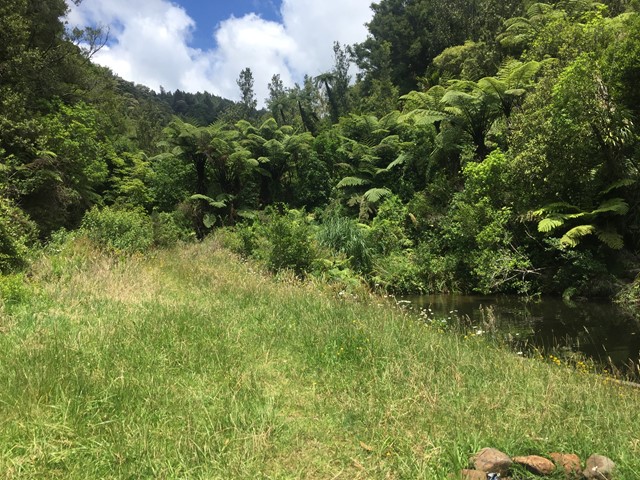
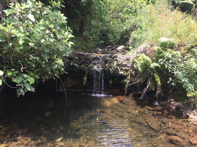
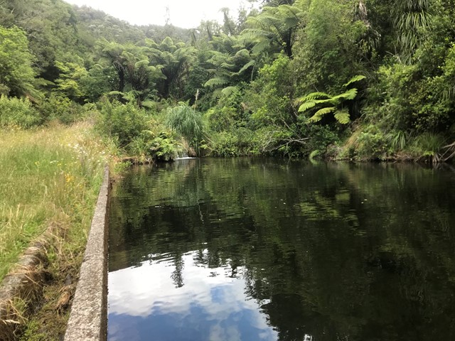
Located in the Otawa Scenic Reserve this short walk with multiple small creek crossings leading to a small clearing which houses Boro Dam Te Puke's original water source.
Swimming
Rainforest


Getting there
How do you get to the start of the walk?
The end of Manoeka Rd.
Maps
Which maps cover the area?
Map of Otawa Scenic Reserve
Route/Trail notes
A detailed description of the walk!
Continue along the major 4x4 size path over several creek crossings and ignore the orange triangles in a tree on the left hand side of the path pointing left as they lead up onto the ridge line instead continue and shortly after you will arrive at the clearing and dam.
Permits/Costs
Do you need any permits? What's the cost?
free
Other References
How can I find more info? Any guide books?
GPS Tracks
- No GPS available for this walk yet.
 1
1 30
30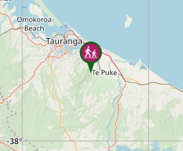
Comments
Nobody has commented on this walk yet. If you've done it then tick it off and add a comment.