
Papamoa Hills Karangaumu Summit Track + Te Rae o Papamoa Track
North Island NZ


Menu
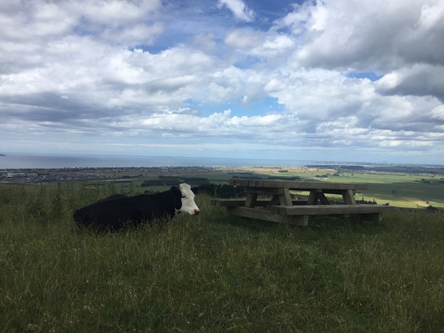
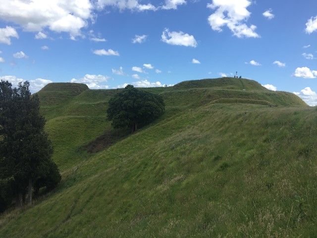
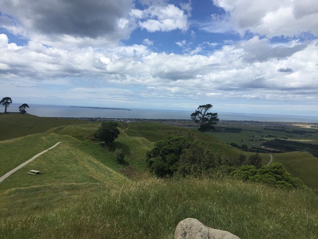
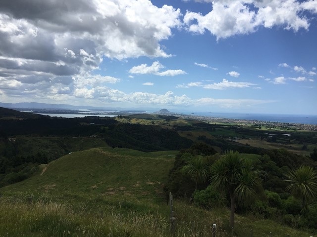
The walk is located in Pāpāmoa Hills Regional Park and offers 360 degree views as well as several maori pa sites.
Lookouts
Bird Watching
Heritage Sites
Picnic Facilities
Toilets
No Dogs Permitted
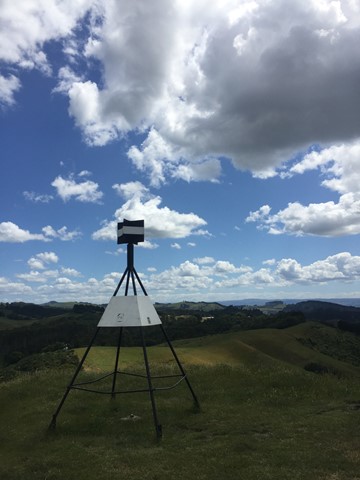
224m
Maximum Elevation

Getting there
How do you get to the start of the walk?
Pāpāmoa Hills Regional Park carpark at the end of Poplar Lane off Te Puke Highway.
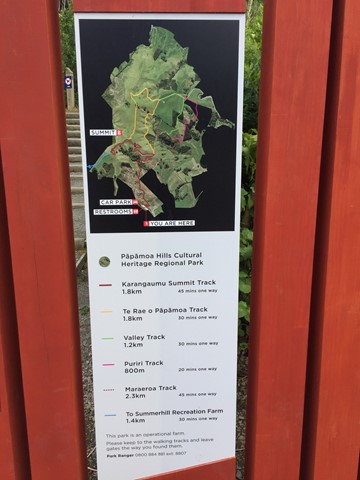
Maps
Which maps cover the area?
Pāpāmoa Hills Regional Park maps.
Route/Trail notes
A detailed description of the walk!
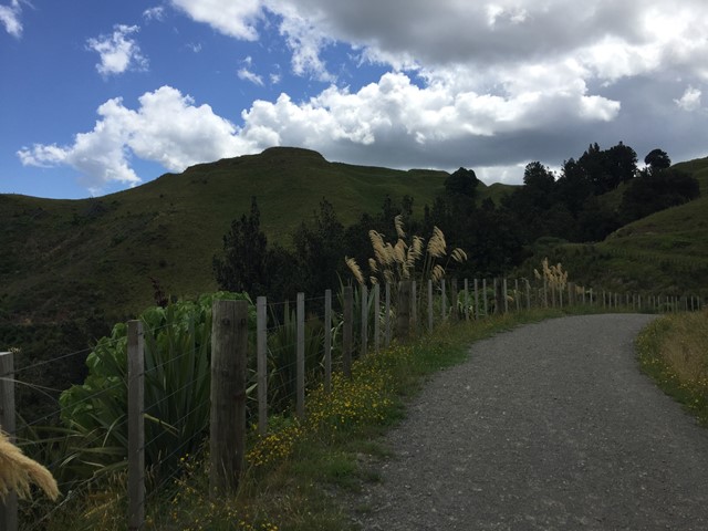
Head directly up to the summit then when returning down take a left turn and follow a loop along the ridge line before returning to the original trail and back to carpark.
Permits/Costs
Do you need any permits? What's the cost?
free
Other References
How can I find more info? Any guide books?
Pāpāmoa Hills Regional Park websites.
GPS Tracks
- No GPS available for this walk yet.
 5
5 3
3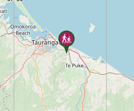
Comments
Nobody has commented on this walk yet. If you've done it then tick it off and add a comment.