
Menu

 1.5
km
return
1.5
km
return
 30
mins
30
mins
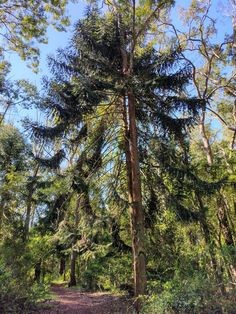
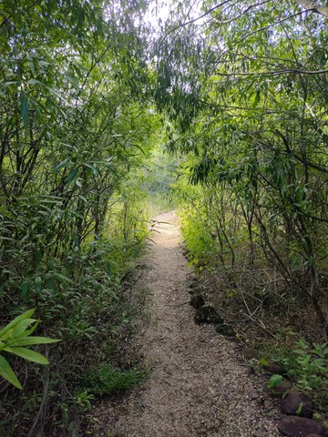
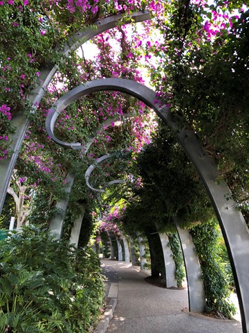
Nielsen Park Walking Circuit
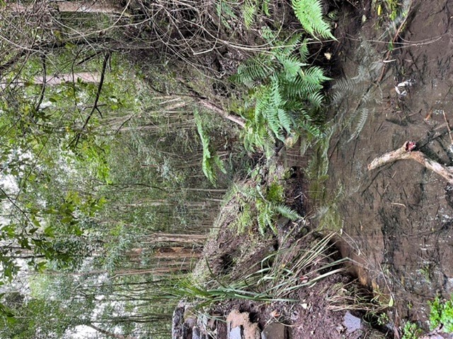
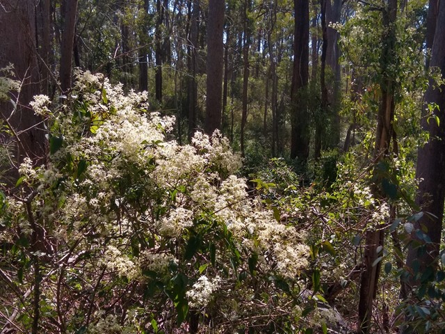
A short, shady walking trail through urban bushland. The dirt track is flat and well maintained but may be muddy after rain. This park is being regenerated by volunteers and has some interesting bird and plant life.
Officially listed as Grade 2/Easy, this track is suitable for walkers of all ages and fitness levels.
 1.2
km
return
20
mins
1.2
km
return
20
mins
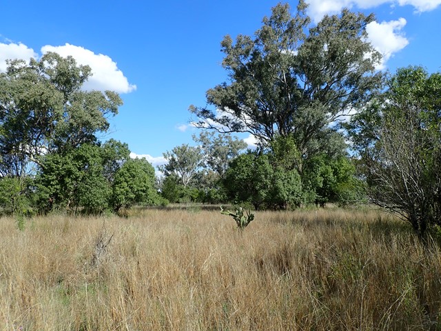
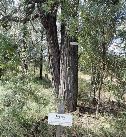
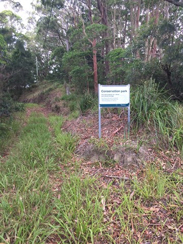
Irongate Conservation Park
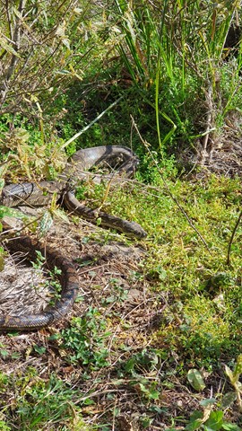
This loop track circles through brigalow, belah and eucalypt forest, with regular signage describing the native plants throughout the park. The dirt path is flat and clear to follow, and the park is home to many species of birds and reptiles.
Officially listed as Grade 2/Easy difficulty, this track is suitable for all ages and fitness levels.
 1.9
km
one-way
1
hr
1.9
km
one-way
1
hr
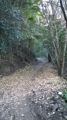
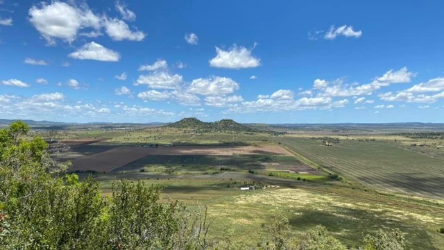
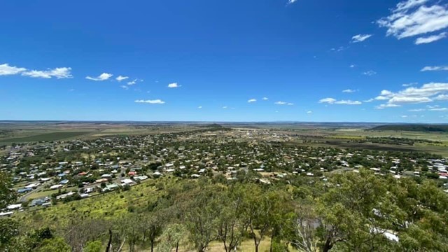
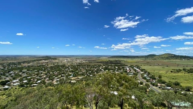
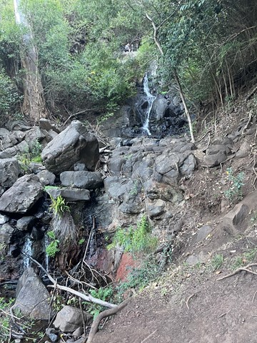
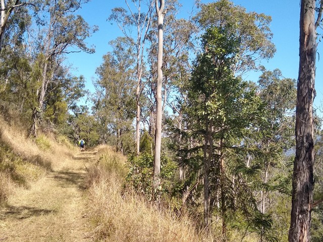
Pardalote Walk
This walk connects several main features of Picnic Point Parklands. It starts from Lions Park (the rocket ship playground) then passes a lookout and a waterfall before leading along the edge of the escarpment with views out over the Lockyer Valley. It then proceeds downhill through eucalypt forest to reach the new upgraded lookout at the bottom of Tobruk Memorial Drive.
Officially listed as Grade 3/Medium difficulty (some uneven surfaces and steep inclines), this track is interesting and achievable for walkers of all ages with a moderate fitness level.
 2.12
km
one-way
50
mins
2.12
km
one-way
50
mins
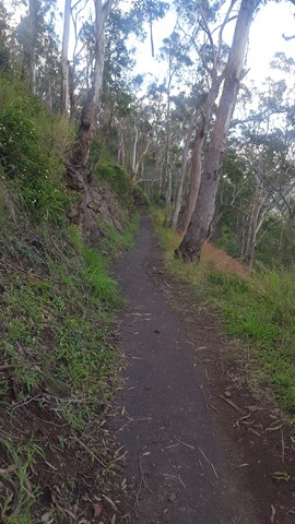
Firetail Walk
This walk zig-zags down the Toowoomba Range, starting from Lions Park (behind the rocket ship playground). It is well shaded for most of the way and provides an opportunity for birdwatching.
Officially listed as Grade 3/Medium (160m change in elevation over 2km), this track is suitable for walkers with a moderate fitness level.
1.7
m
return
45
mins
Fantail Walk
This walk zig-zags 80m down the face of the Toowoomba Range. It has a bitumen surface for most of the way, and includes a flight of metal grate stairs. It is great for bird watching and has views out to the South East and Mt Table Top.
Officially listed as Grade 3/Medium difficulty (includes an 80m change in elevation + stairs), this track is suitable for walkers with a moderate fitness level.
 4.42
km
one-way
90
mins
4.42
km
one-way
90
mins
Cooby Dam Lakeside Walk
A scenic lakeside trail at Cooby Dam, stretching from the picnic area at Loveday Cove to the dam wall. Some sections have a formed track, while other grassy sections may be overgrown or boggy. A great spot for photographing water birds, with good picnic facilities and a large playground.
Officially listed as Grade 3/Medium (some unformed paths + steep/slippery sections), this track is suitable for walkers of most fitness levels.
 1
km
return
20
mins
1
km
return
20
mins
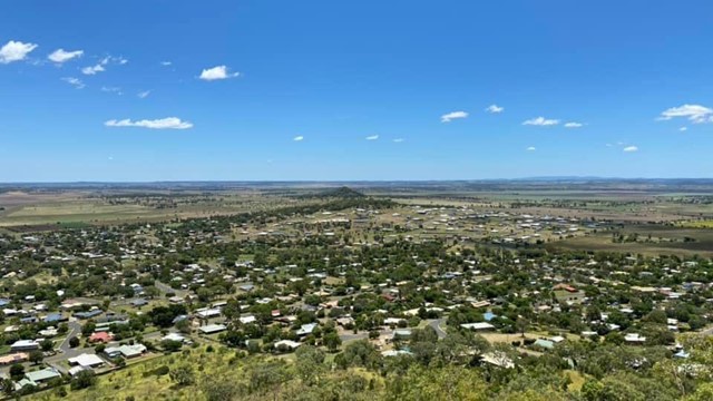
Mount Kingsthorpe
A short walk zigzagging to the summit of Mt Kingsthorpe with panoramic views over the town of Kingsthorpe and surrounding farmland. The trail is unsealed and contains several natural stone steps. There are a few bench seats along the trail to rest but no other facilities.
Officially listed as Grade 4/Hard (loose/uneven surface, natural steps), this track is suitable for walkers of all ages and most fitness levels.
 3
km
return
1
hr
3
km
return
1
hr
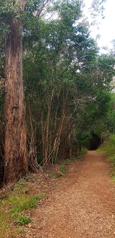
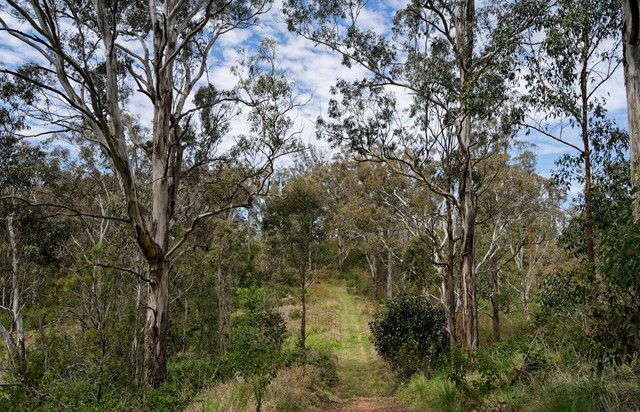
Highfields Falls Walking Trails
A small network of well-maintained walking tracks through eucalypt forest, accessed from three trailheads. Highlights include a small waterfall (accessible the top and the base) and a shady gully where stepping-stones lead across a creek crossing. Excellent birdwatching opportunities.
Each of the circuits has its own difficulty rating, ranging from Grade 2/Easy -Grade 4/Hard (includes some steep sections, natural stone stairs + slip hazards). In general, these walks are appealing to walkers of all ages, and most fitness levels.
 3.6
km
return
75
mins
3.6
km
return
75
mins
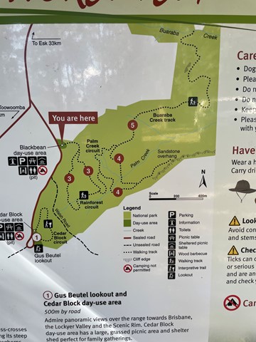
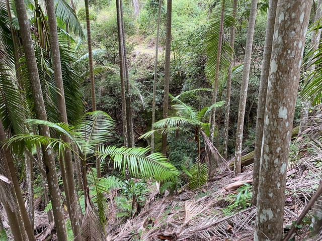
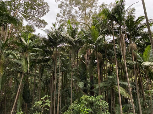
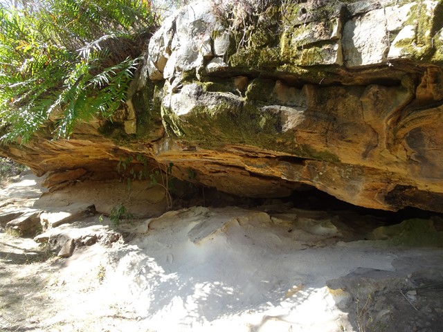
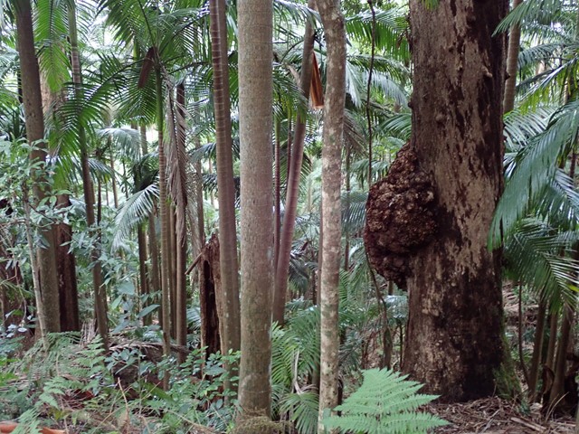
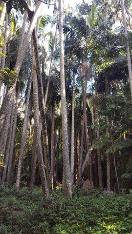
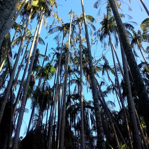
Palm Creek Circuit
A walk in Ravensbourne National Park through a large gully of Piccabeen Palms and eucalypt forest. Includes a short side-track to The Caves (low sandstone overhang).
Officially listed as Grade 3/Medium difficulty (includes uneven surfaces and some steep stairs), this track is suitable for walkers with a moderate fitness level.
 1.7
km
return
40
mins
1.7
km
return
40
mins
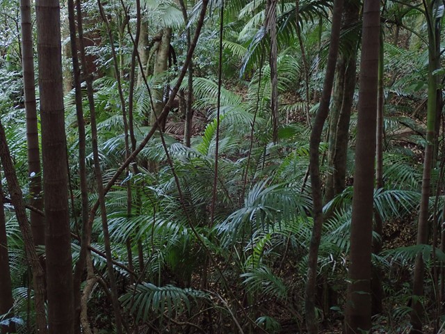
Rainforest Circuit
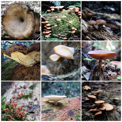
A beautiful loop track through lush rainforest vegetation and blue gums in Ravensbourne National Park. This is a great place to hunt for fungi after rain, and has evidence of indigenous yam diggings.
Officially listed as Grade 3/Medium difficulty (includes uneven surfaces and a few steep flights of stairs), this track is suitable for walkers with a reasonable fitness level.
 500
m
return
20
mins
500
m
return
20
mins
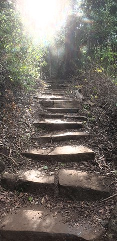
Cedar Block Circuit
A short walk in Ravensbourne National Park through rainforest with information boards about Indigenous culture and native trees/plants.
Officially listed as Grade 3/Medium difficulty (includes a series of natural stone stairs), this trail is easily manageable for walkers of most ages and fitness levels (though not suitable for wheelchairs).
 7.2
km
return
70
mins
7.2
km
return
70
mins
Munroe Tramway
An easy, well-maintained walk through bushland and farmland, including some short sections that join up with the dirt road.
Interpretive signs tell the history of the Munroe Tramway, and some lovely views/birdwatching opportunities.
Officially listed as Grade 3/Medium difficulty (including some uneven surfaces and mild inclines), this track is suitable for walkers of most ages and fitness levels.
 3.74
km
return
1
hr
3.74
km
return
1
hr
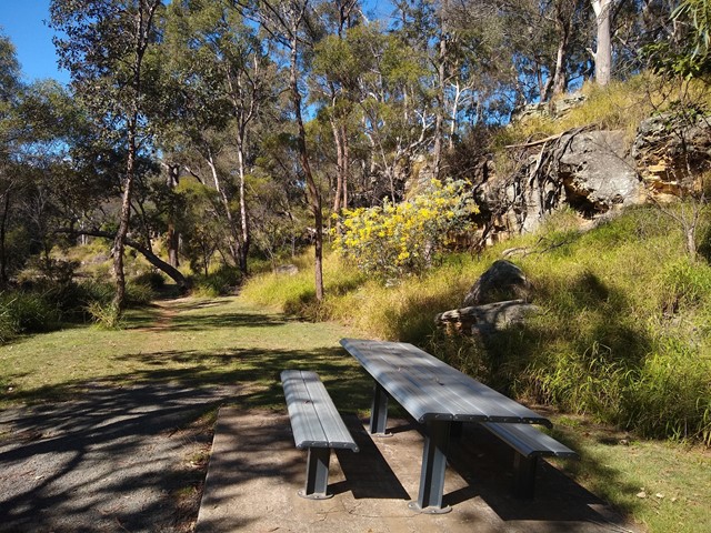
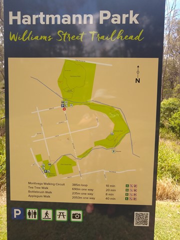
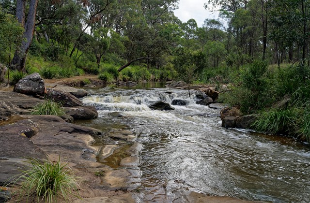
Applegum Walk and Hartmanns Park Circuit
A creek-side track connecting Bullocky's Rest Park with a network of trails through Hartmann Park in Crows Nest. Includes a short side-track to the Pump Hole, a deep waterhole that is home to long-necked turtles, and includes a small waterfall after rain.
Officially marked Grade 3/Medium (some uneven/rocky/slippery surfaces, especially after rain) this trail is manageable for walkers of most ages and fitness levels.
 700
m
return
30
mins
700
m
return
30
mins
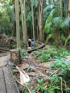
The Palms Circuit
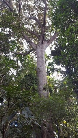
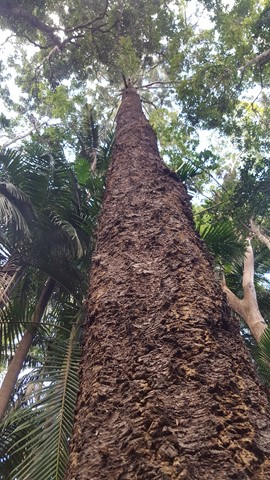
Tucked away in the hills east of Cooyar, The Palms National Park is a gem worth making an effort to visit. Small in size, but big in nature, this tiny patch of remnant subtropical rainforest is filled with impressive piccabeen palms (Archontophoenix cunninghamiana) clinging to a waterlogged depression, towering fig trees and a rich suite of birdlife. It is also home to a colony of grey-headed flying foxes.
Officially marked as Grade 3/Medium difficulty (includes natural stairs, a narrow boardwalk + uneven or slippery surfaces), this walk is easily manageable for most ages and fitness levels.
 1
km
return
30
mins
1
km
return
30
mins
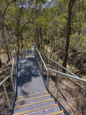
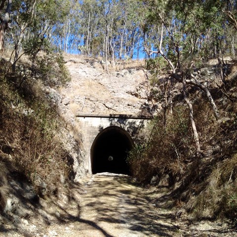
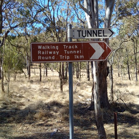
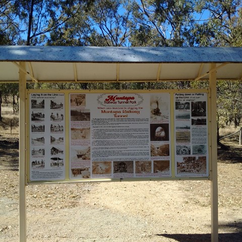
Muntapa Railway Tunnel
Two short walks through eucalypt bushland, leading to both ends of a historic, disused railway tunnel - Queensland's lonest straight railway tunnel. You can enter the tunnel at each end, but cannot walk all the way through as it is fenced off to protect a colony of small native bats.
Interpretive signs give a comprehensive history of the tunnel, and provide details about the resident bat colony.
Officially marked as Grade 3/Medium difficulty (many stairs down to the northern entrance), this track is manageable for most ages and fitness levels.
 1
km
return
30
mins
1
km
return
30
mins
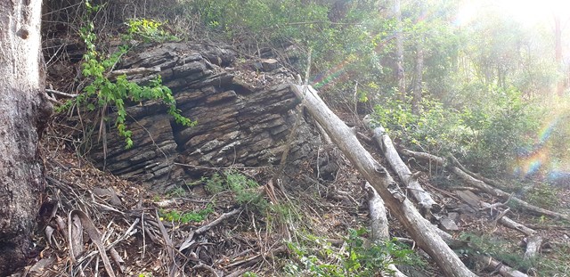
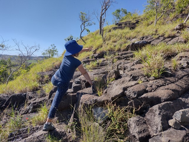
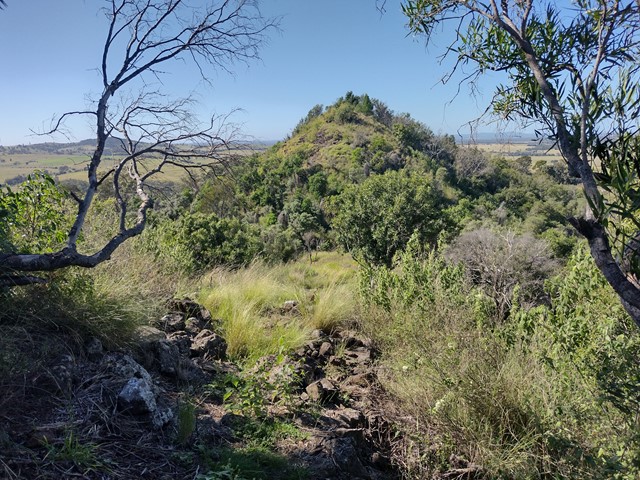
Mt Basalt
This unique geological and environmental area features rare volcanic formations and a few walking tracks that including rock-scrambling and lookouts with spectacular views.
Note: Officially listed as Grade 4/Hard (steep incline + scrambling + loose surface), this trail can still be a fun adventure for the whole family - please take caution near cliff-edges and wear suitable footwear.
 2.3
km
return
1
hr
2.3
km
return
1
hr
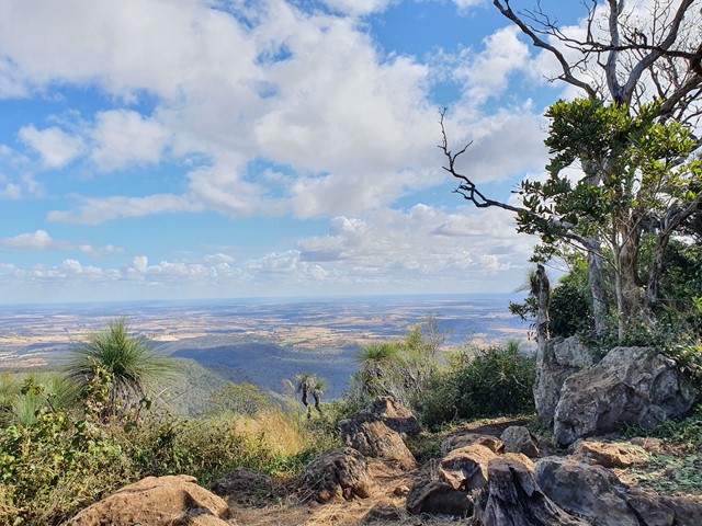
Mount Kiangarow
This track leads to the highest point of the Bunya Mountains: Mt Kiangarow (1,135m). The track climbs 132m over 1.4km, gradually winding around the mountain and leading through an avenue of grasstrees at the crest lookout. An excellent spot to view the sunset.
Officially rated Grade 3/Medium (uneven track surface + steady, gentle incline), this is relatively gentle walk that would be suitable for most ages/fitness levels.
 250
m
return
20
mins
250
m
return
20
mins
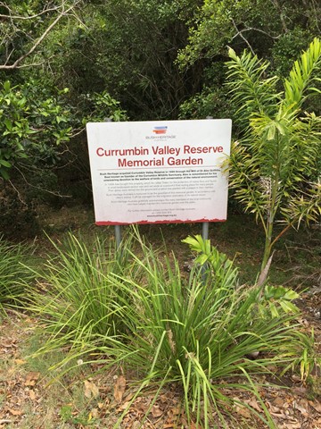
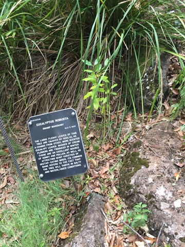
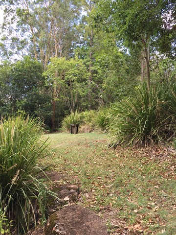
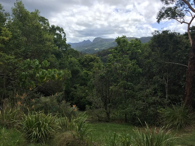
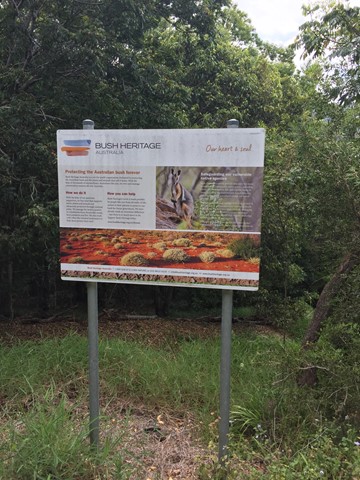
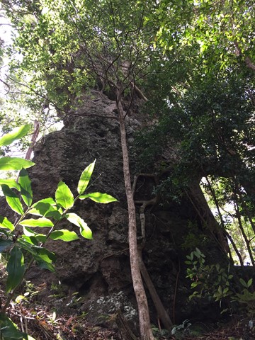
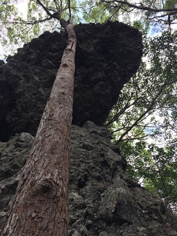
Currumbin Valley Reserve
A short amble around the Bush Heritage Australia property the Currumbin Valley Reserve previously known as the Griffiths Nature Refuge. The reserve is also home to a memorial garden which serves as the final resting place for people's ashes. The reserve has some informative signage on native trees and provides views of and access to the adjacent Nicoll Scrub National Park.
 5
km
return
3
hrs
5
km
return
3
hrs
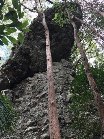
Hanging Rock Bushwalk
This bushwalk follows the border fence East from the Tomewin border crossing through often overgrown terrain. Initially you head up hill to Mount Boyung Thuga before continuing over the shoulder of Mount Tomewin and then over Mount Talganda Colgon (consult NSW SIX maps rather than Qtopo for accurate mountain positioning). The Hanging Rock formation is a few hundred metres past Mount Talganda Colgon.
 8
km
return
90
mins
8
km
return
90
mins
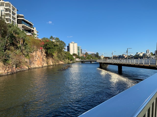
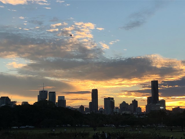
Brisbane River Walk
This is my taken pathway: Fortitude Valley, New Farm, Riverwalk, Kangaroo Point on a sunny hot day! It took me 1.5h equivalent to 10k & 11,000 steps