
Menu

 17
km
return
17
km
return
 4
hrs
4
hrs
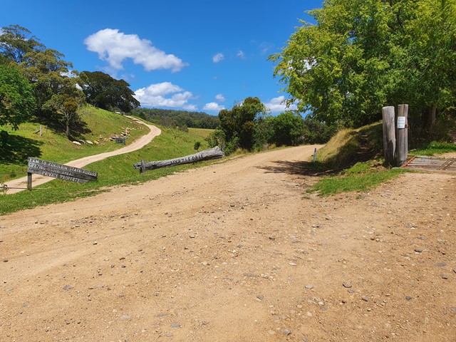
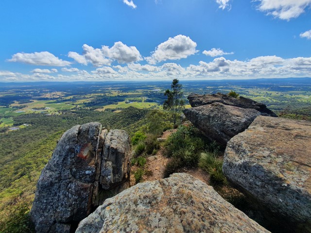
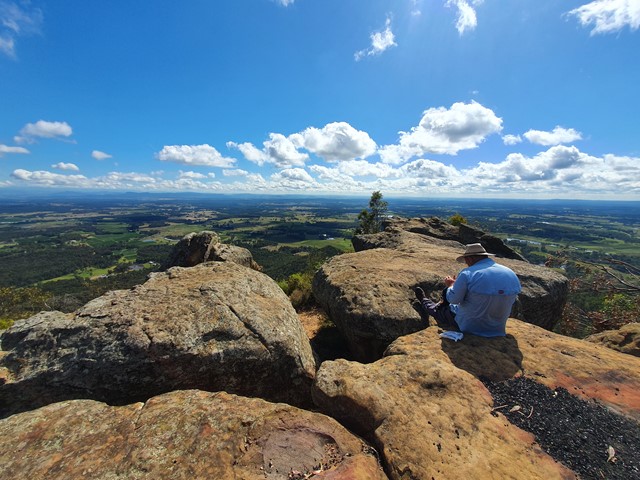
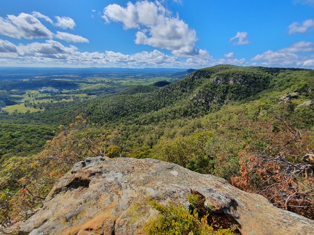
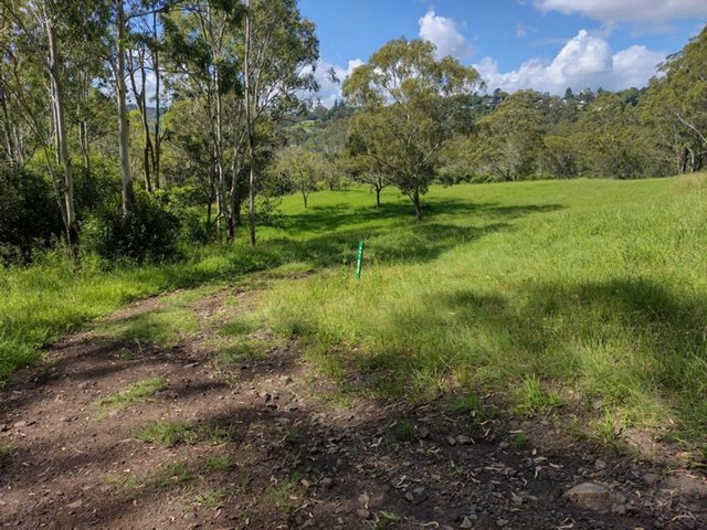
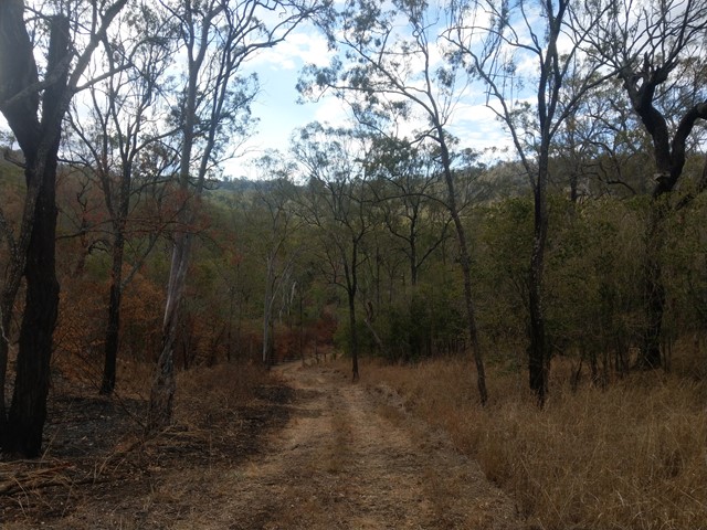
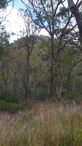
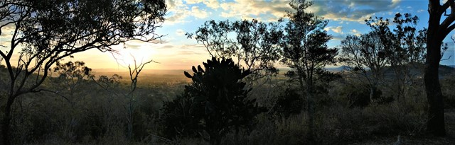
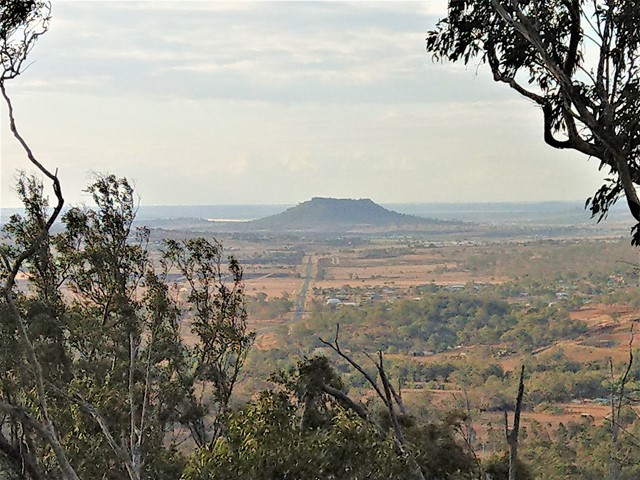
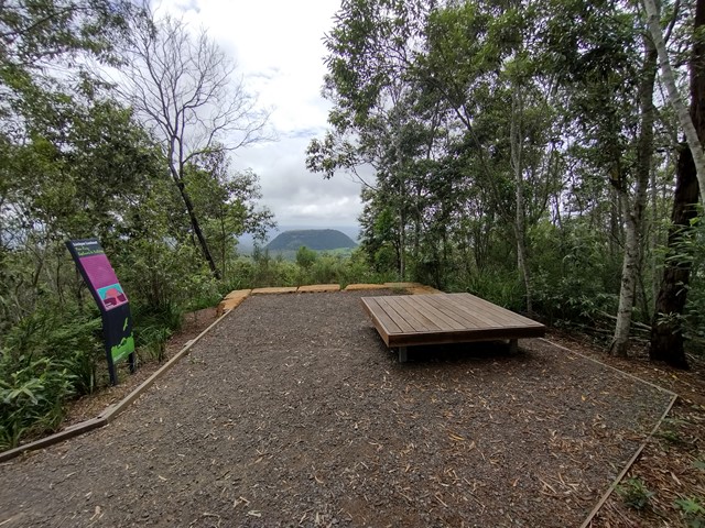
Mt View - Pokolbin Lookout
A nice gradual walk up well graded fireroads to the top of Mt View and the Pokolbin lookout - probably the best lookout in the Hunter valley region.
 1
km
return
30
mins
1
km
return
30
mins
Nemaze no Toko 寝覚の床 (Nagano Prefecture)
Nemaze no Toko is a desginated spot of natural beauty and part of the Central Alps Quasi-National Park. It is located randomly on the side of the road. It is a gorge with perfectly eroded rocks. it is worthwhile checking out if driving past but not going out of your way for.
 5
km
return
1
hr
5
km
return
1
hr
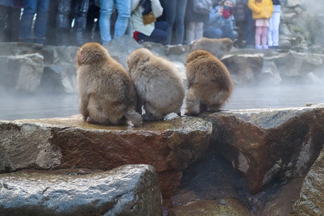
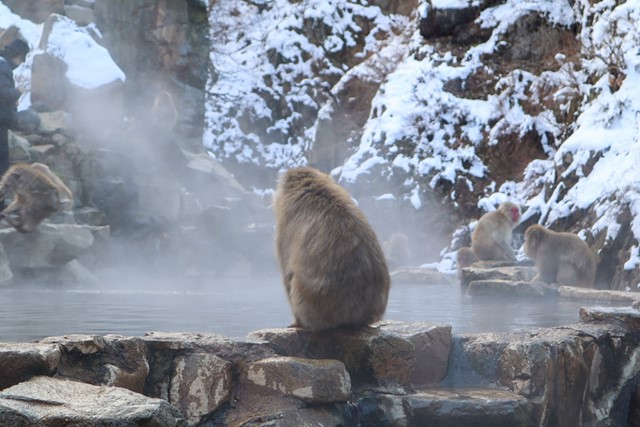
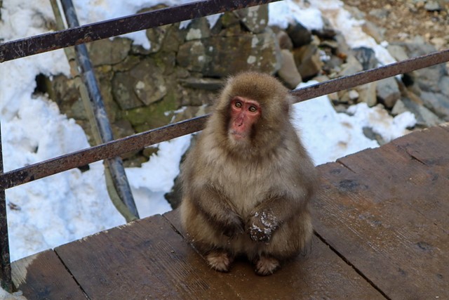
Jigokudani Snow Monkey Hike (Nagano Prefecture)
A short walk from the carpark up to the top of the mountain where you can see a lot of monkeys knocking about in a hot spring. If you wanna see wild monkeys, this is the place.
 20.5
km
one-way
2
days
20.5
km
one-way
2
days
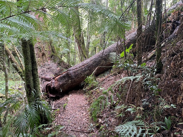
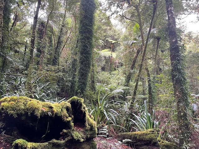
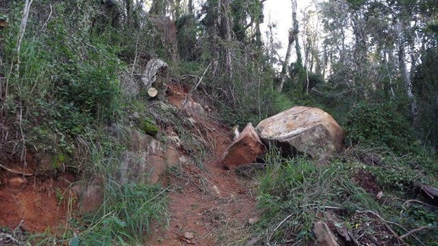
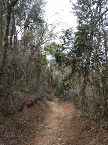
Stretcher Track
Long considered a "classic" walk in South East Queensland this walk retraces the route taken by the rescue party for the survivors of the Stinson plane crash. It is not maintained by QPWS and is extremely overgrown once the main plateau is reached. A compass and a topographical map is essential as visibility is extremely limited in the rainforest even if you are not walking through low cloud and the track is to all intensive purposes non existent on the plateau.
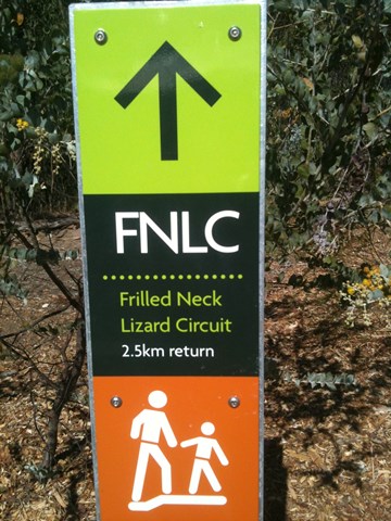
 2.5
km
return
30
mins
2.5
km
return
30
mins
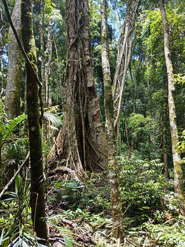
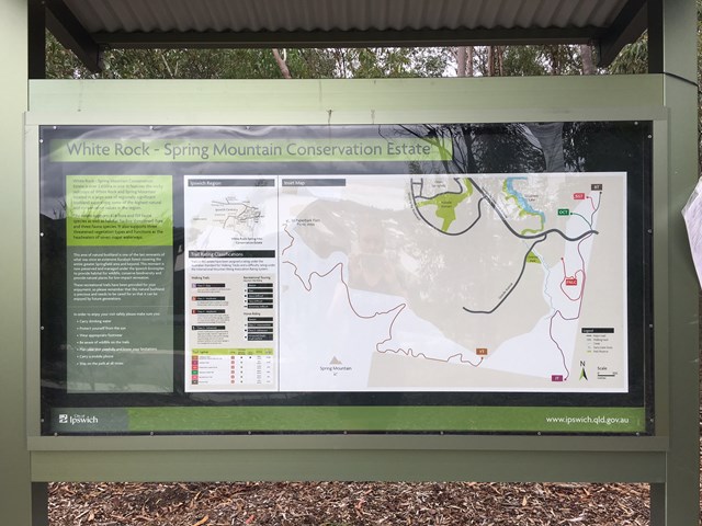
Frilled Neck Lizard Circuit
Frilled Neck Lizard Circuit is located just north of the Spring Mountain Forest Park. It is a mild to moderate 2.5 km return circuit that links up with the Ironbark Track. The map for this track is annexed as White Rock - Spring Mtn Conservation Estate.
 6
km
return
2
hrs
6
km
return
2
hrs
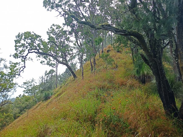
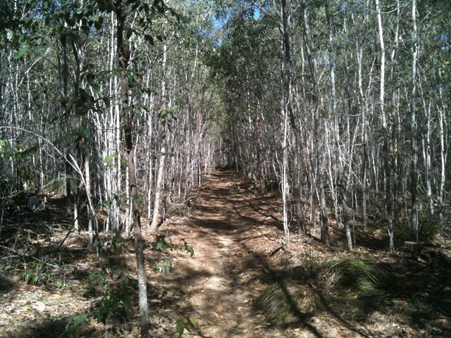
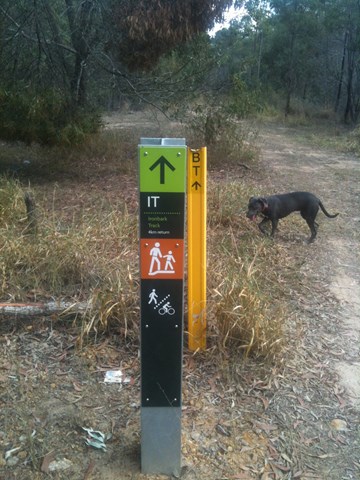
Ironbark Track
Ironbark Track is an old lumber road turned into a hiking track. It cuts behind Springfield Lakes to the edge of Spring Mountain Forest park.
 14
km
return
10
hrs
14
km
return
10
hrs
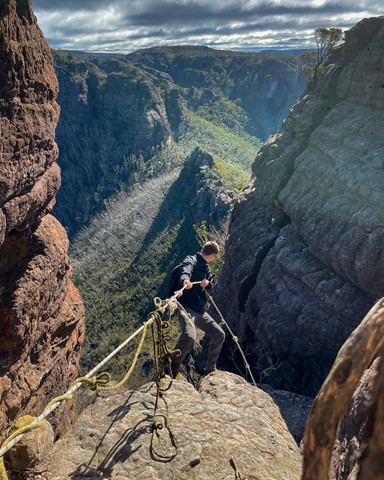
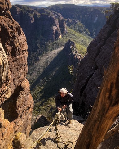
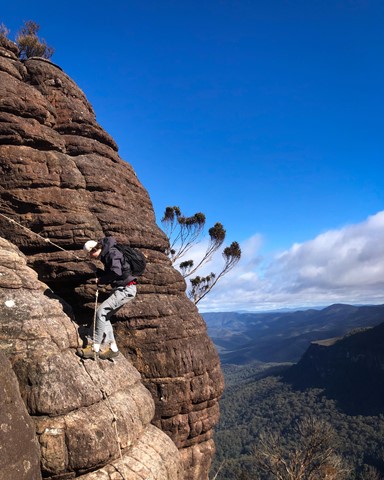
The Castle
An ascent up one of the best and most challenging day walks in NSW.
 4.4
km
return
90
mins
4.4
km
return
90
mins
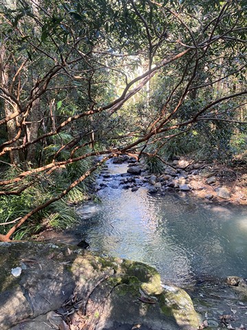
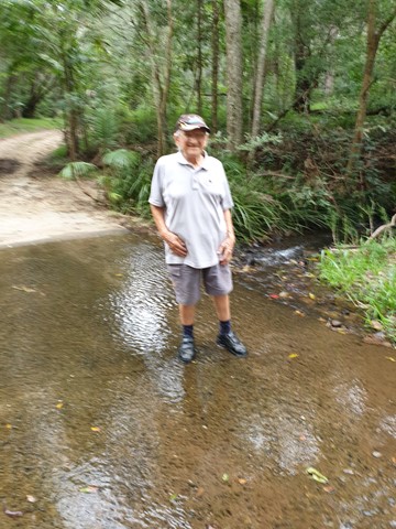
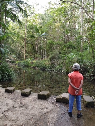
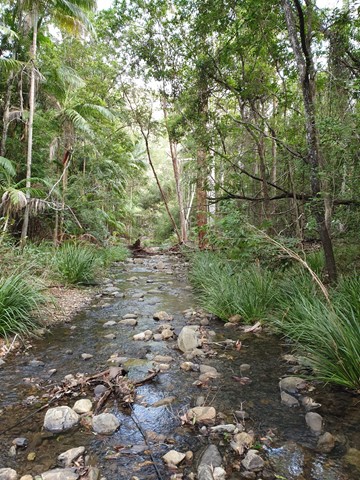
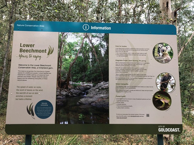
Clagiraba Creek Trail
The Clagiraba Creek trail (5.3 kilometres return from the Bellis Road entrance) takes you deep into the green tranquillity of subtropical rainforests. It's possible to access the Clagiraba Creek trail from Barcoo Court, but be prepared for a more challenging route with steeper hills, popular with mountain bike riders and horse riders.
 21.8
km
return
7
hrs
21.8
km
return
7
hrs
Albert River Circuit
A lesser used walk starting at O'Reillys and spawning from the Border track.
 1.5
km
return
1
hr
1.5
km
return
1
hr
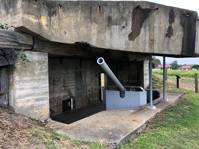
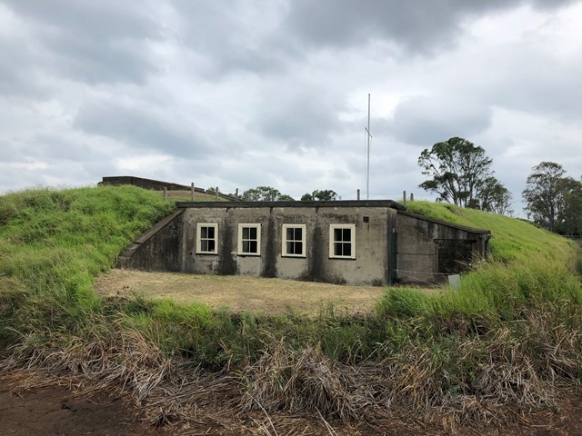
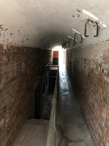
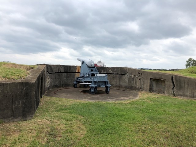
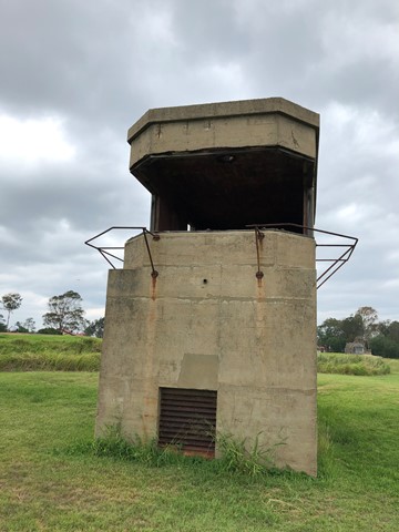
Fort Lytton
Fort Lytton is a fortress located on the southern banks of the Brisbane River, Fort Lytton National Park is the perfect place to discover a unique part of Brisbane’s past.
Only open on Sundays.
 1.2
km
return
40
mins
1.2
km
return
40
mins
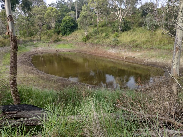
John Trousall Park
A short walk though urban bushland, descending into a deep gully with a dam at the bottom. This trail is shared by mountain bikes and can be uneven/slippery after rain. The park has many facilities including BBQ, toilet, tennis court, basketball half court, handball wall, lean-to-ride bike skills track and a small playground.
Officially listed as Grade 3/Medium difficulty (rough surfaces + 2 very steep cemented sections leading in/out of the gully), this track is suitable for walkers with a moderate fitness level.
 400
m
return
25
mins
400
m
return
25
mins
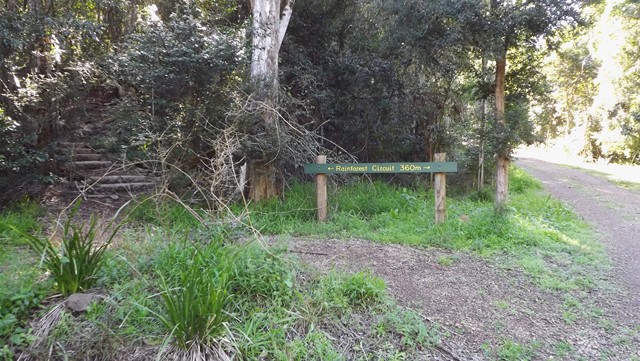
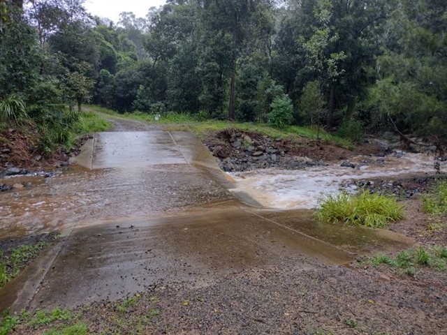
Rainforest Walking Circuit - Redwood Park
This short loop starts from the Redwood Park picnic area near the bottom of the Toowoomba Range. It is a narrow, winding track the leads through a pocket of dry rainforest and along the bank of Gatton Creek. Caution: the causeway can be slippery/flooded after rain.
Officially listed as Grade 3/Medium difficulty (includes some natural stairs + uneven surfaces), this track is suitable for walkers of all ages and most fitness levels.
 11.6
km
return
3.33
hrs
11.6
km
return
3.33
hrs
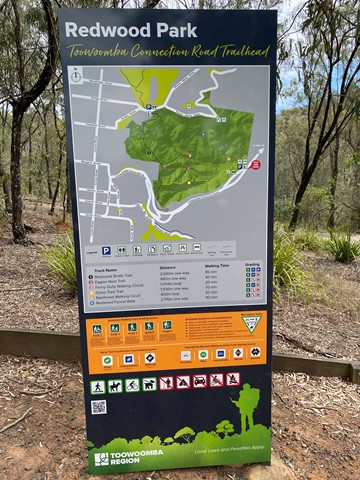
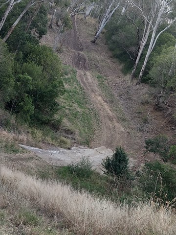
Redwood and Jubilee Parks Loop
Experience this 11.6-km loop trail through eucalypt forest along the Toowoomba escarpment. This is a popular trail for hiking, mountain biking, and trail running, but you can still enjoy some solitude during quieter times of day. Starting from the Grasstree Track trailhead at the bottom of Redwood Park, this challenging circuit combines tracks from Redwood Park and Jubilee Park.
This route features a decent incline that is sure to get the heart pumping! Can become quite muddy in places, especially after rain.
The trails that make up this loop are officially listed as Grade 3/Medium - Grade 4/Hard (steep inclines, loose/uneven surfaces + limited signage). This track is suitable for walkers/joggers with a moderate-high fitness level.
 7
km
return
2.5
hrs
7
km
return
2.5
hrs
Grasstree Track + Bridle Trail + Redwood Forest Walk Loop, Redwood Park
This challenging loop starts from the Redwood Park trailhead near the bottom of the Toowoomba Range. It leads through eucalypt forest and dry vine scrub with views towards Mount Meewah/Table Top & Picnic Point. Caution: slippery after rain.
Officially listed as Grade 4/Hard difficulty (includes some steep sections, loose/ slippery/boggy surfaces + limited signage), this track is suitable for walkers/runners with a moderate-high fitness level.
 4
km
2
hrs
4
km
2
hrs
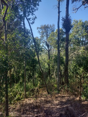
Grasstree Track - Eagle's Nest Trail Loop, Redwood Park
This loop starts from the Redwood Park trailhead near the bottom of the Toowoomba Range. It is a moderately challenging walk through eucalypt forest, with views towards Mount Table Top & Picnic Point. It is possible to extend your walk by following the marked side-track to the Ferny Gully Circuit (approx. 2km return). The archaeological dig site at the Eagles Nest Men's Camp historical is also located off Eagle's Nest Trail (trailhead unsigned). Caution: slippery after rain.
Officially listed as Grade 4 difficulty (includes some steep sections, loose/ slippery/boggy surfaces + limited signage), this track is suitable for walkers/runners with a moderate-high fitness level.
 30
mins
30
mins
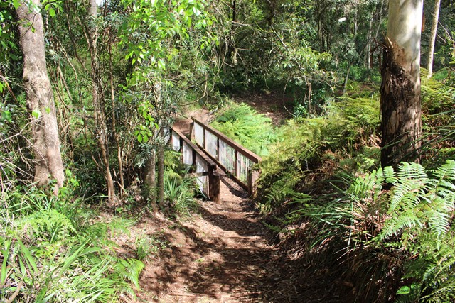
Williams Park
This shady walk follows a clear, trickling creek through urban bushland. A wide, wooden bridge crosses the creek near the trailhead. There is usually water in the creek, and the thick canopy trees/lush fern trees walk make this a beautiful walk in any weather.
Officially listed as Grade 2/Easy difficulty (unsealed dirt trail, some very short hills along the western bank), this walk is suitable for all ages and most fitness levels.
 3.4
km
return
90
mins
3.4
km
return
90
mins
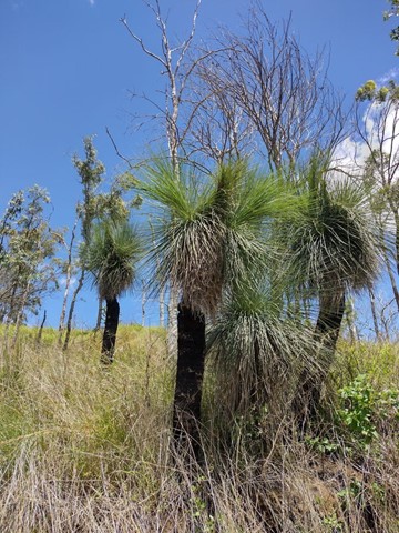
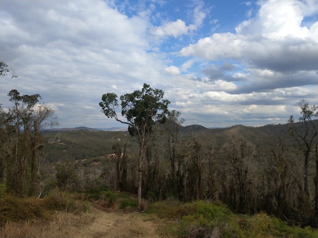
Mt Peel Walking Tracks
A network of walking circuits and firebreak trails through eucalypt forest. There are two main summits that include scrambling sections, and the lookout from the South Summit gives walkers 360° views of Toowoomba and its surrounds.
The trails at Mt Peel are officially listed as Grade 3/Medium - Grade 4/Hard (some steep inclines, rough surfaces + scrambling sections). These tracks are interesting for walkers of all ages, though a moderate fitness level is required.
 600
m
return
15
mins
600
m
return
15
mins
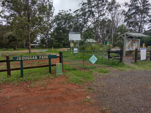
J.E. Duggan Park - Wallaby Walk and Sensory Trail
J.E. Duggan Park is a pocket of urban bushland on the southern edge of the Toowoomba escarpment, with two lookouts over the Lockyer Valley and Mt Meewah/Tabletop Mountain. This park has been upgraded to include two wheelchair accessible tracks, braille information signs and a sensory trail that can is accessible for walkers with a visual impairment. The picnic and toilet facilities are also wheelchair accessible.
 7.5
km
return
3
hrs
7.5
km
return
3
hrs
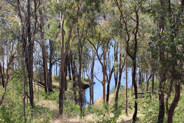
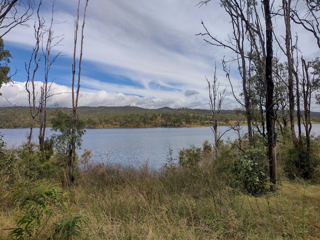
Lake Cressbrook Walking Track - Day Use Area to Full Circuit
This track starts at the Day Use Area at the end of Cressbrook Dam Access Rd, and connects to a network of trails through eucalypt bushland behind the camping ground. Great opportunity for birdwatching with many stretches overlooking the dam.
Officially listed as Grade 3/Medium difficulty (including rough surfaces, some inclines + limited signage in parts), this track is suitable for people with a moderate fitness level.
 1.2
km
return
30
mins
1.2
km
return
30
mins
Hancock Street Park Walking Circuit
A short, shady walking trail through urban bushland. The dirt track is flat and well maintained but may be muddy after rain. This park is home to some interesting bird and plant life.
Officially listed as Grade 2/Easy, this track is suitable for walkers of all ages and fitness levels.