
Grasstree Track + Bridle Trail + Redwood Forest Walk Loop, Redwood Park
Toowoomba


Menu
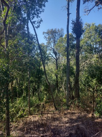

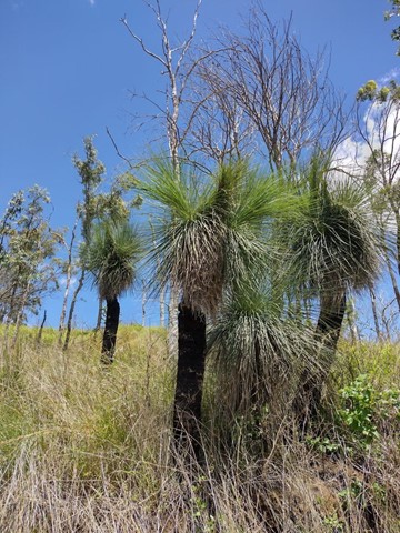
This challenging loop starts from the Redwood Park trailhead near the bottom of the Toowoomba Range. It leads through eucalypt forest and dry vine scrub with views towards Mount Meewah/Table Top & Picnic Point. Caution: slippery after rain.
Officially listed as Grade 4/Hard difficulty (includes some steep sections, loose/ slippery/boggy surfaces + limited signage), this track is suitable for walkers/runners with a moderate-high fitness level.

Getting there
From Toowoomba, drive down the Warrego Highway range crossing towards Brisbane. Look for the small dirt carpark on the left of the road, just after the 100km speed sign near the bottom of the range. Walk though the heavy wooden gate (pedestrian access only) then continue down the gravel driveway and past the picnic area to find the Grasstree Track trailhead.
Alternately, use the Jubilee Park carpark at the corner of Bridge St/Prince Henry Drive and cross the road to start from Redwood's upper trailhead (but this means the return journey is all uphill).
Maps
Which maps cover the area?
Route/Trail notes
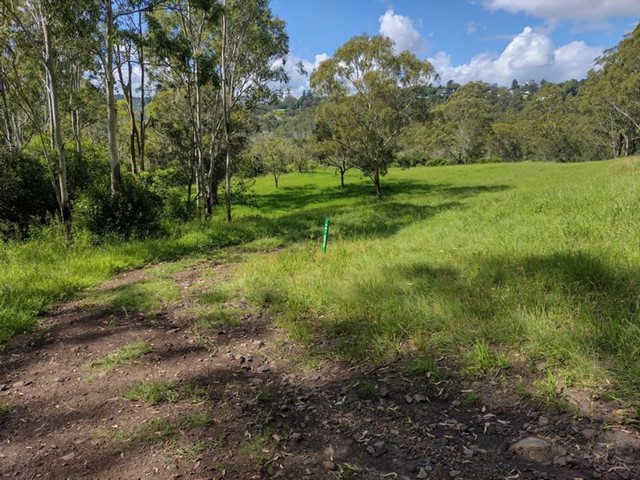
From the picnic area, walk downhill to the signed intersection and turn left onto Grasstree Track. This car-wide dirt track leads you along a few gentle slopes before curving sharply to the right and coming to another intersection (poorly signed). Take the left fork to continue on Grasstree Track. At the top of the range, turn right onto the Bridle Trail (unmarked) and continue until you reach a large grassy field near the Prince Henry Heights Dr trailhead. Turn right onto Redwood Forest Trail and follow this all the way to the bottom of the range. There is one unsigned intersection along Redwood Forest Trail where you need to turn right (left is a dead end).
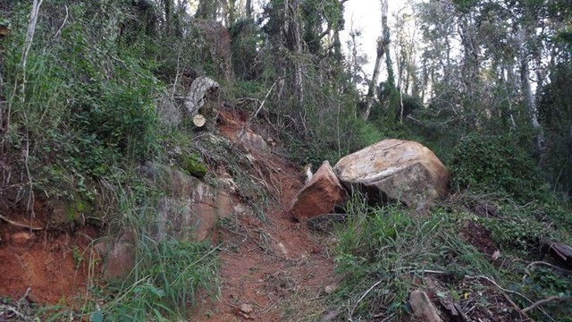
Note: there are many steep sections along this route, and the track can be muddy/boggy/slippery or overgrown depending on weather conditions. Proceed with caution and use GPS if available as many of the intersctions are unsigned/poorly signed.
Permits/Costs
None
Other References
GPS Tracks
- No GPS available for this walk yet.
 7
7 2.5
2.5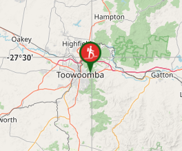
Comments