Fantail Walk

Toowoomba

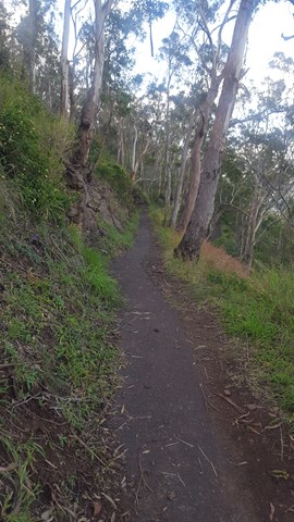
This walk zig-zags 80m down the face of the Toowoomba Range. It has a bitumen surface for most of the way, and includes a flight of metal grate stairs. It is great for bird watching and has views out to the South East and Mt Table Top. Officially listed as Grade 3/Medium difficulty (includes an 80m change in elevation + stairs), this track is suitable for walkers with a moderate fitness level.

Lookouts
Bird Watching
Picnic Facilities
Dogs Permitted
No Camping Permitted
Eucalypt Forest
693m
Maximum Elevation
80m
Total Climb

Getting there:

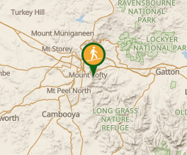
This walk starts at Picnic Point from the bottom of Tobruk Memorial Drive and also connects to Pardalote Walk and the Bridle Trail.

Maps:

Picnic Point Walks

Route/Trail notes:

Just follow the pathway from the bottom of the car park to the bottom and back up again. 

Permits/Costs:

None.

Other References/Comments:

This walk can be extended into a longer circuit that includes Fantail Walk, Picnic Point Bridle Trail, Firetail Walk and Pardalote Walk. Easiest completed in an anti-clockwise direction.

Comments

Completed the circuit today starting with Firetail, along bridle up fantail and back along pardalote. Lovely peaceful walk and not too steep.

Bobbe on 5 Jun, 2022

Did this as a circuit with the Bridle trail. Lovely and good surface. It's currently closed as a bit of tree fall, but easy to pass still.

ct__ on 24 Apr, 2022

Had a bit of spare time in Toowoomba, so headed out to Picnic Point and on a late Sunday afternoon ticked off this walk down the hill, with its great views of the human ants scrambling up Mt Table Top.

F.A.B. on 9 May, 2021

Lots of zig zags. Saw a large legless lizard today. Gets dark quite early as this track is east-facing. Don't leave it too late or the walk can be pretty gloomy.

Steph T on 6 Mar, 2021
Medium
1.7m return
45mins
These values are provided by users. Your evaluation may differ.
Lookouts
Bird Watching
Picnic Facilities
Dogs Permitted
No Camping Permitted
Eucalypt Forest

Where

Click here to load this map.
Map data © OpenStreetMap contributors. Terrain: © Geoscience Australia.

Nearby Walks

Done this walk?

This walk has been ticked 12 times

Aussie Bushwalking can keep track of your bushwalks.

Login/signup to tick this walk off.