
Menu

 5.8
km
return
5.8
km
return
 2
hrs
2
hrs
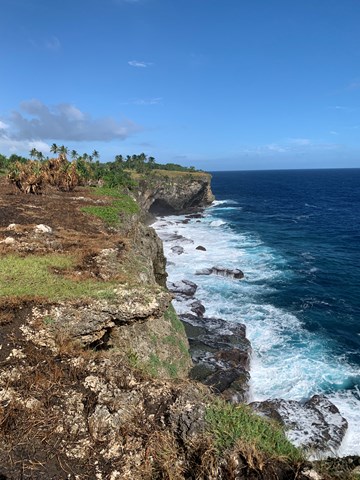
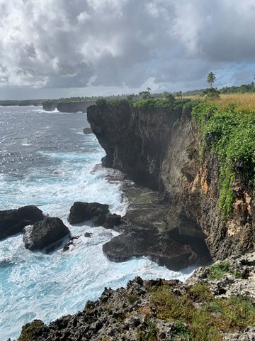
Sigatoka Sand Dunes National Park - Yato Balavu Track
A walk in Fiji's first National Park which houses the highest dunes in the pacific islands (up to 60ms) and is a UNESCO World Heritage Site. There is a network of trails within the park with the 1hr Yato Lekaleka track or the 2hr Yato Balavu track the ones highlighted by the parks office. Taking the longer trail is essential to experience the nonvegetated dunes. The walk described here is a variation of the longer Yato Balavu Track.
 2
km
return
1
hr
2
km
return
1
hr
Suva Parks & Foreshore
Take in the sites of Suva, Fiji's capital. Highlights include Old Parliment House, Albert Park, the grand pacific hotel, Thurston Gardens and the Suva foreshore with views of Viti Levu's rugged interior such as Joske's Thumb. You can start in the centre of town and follow the foreshore path right around the coast of the peninsula as it follows Queen Elizabeth Drive or find a park somewhere along it and make your way into town and back.
700
m
return
20
mins
Caboni Hill
A short trail up to Caboni Hill which has great views of the coast and the mountains further inland.
400
m
return
20
mins
Uru's Waterfall
A short roadside stop on the Kings Road with a short trail around a waterfall.
4.2
km
return
2.5
hrs
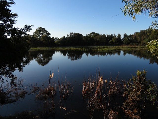
Colo-i-suva Forest Park Waterfalls
A walk through Colo-i-suva Forest Park from the main carpark down to the upper pool and a side trail across to Waisila Falls and the lookout above it before heading back down to the lower pools and back via the lower section of the Colo-i-suva Park Road which at the moment is closed to public traffic.
 15
km
return
8
hrs
15
km
return
8
hrs
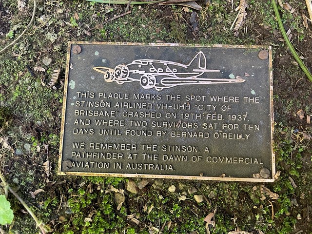
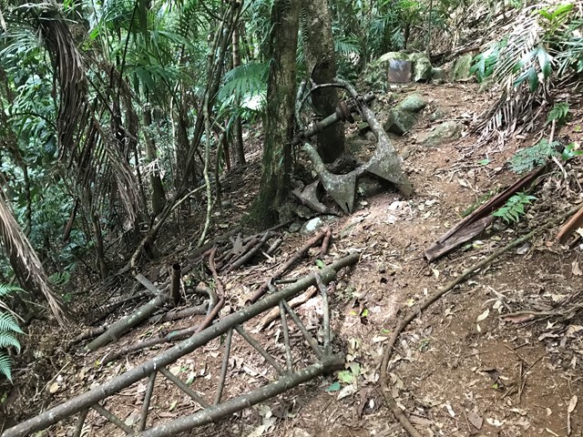
Stinson Crash Site from Christmas Creek
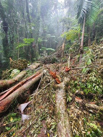
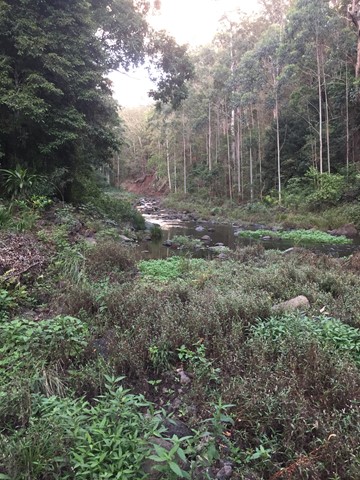
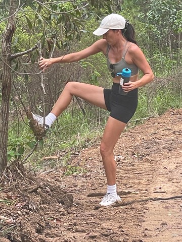
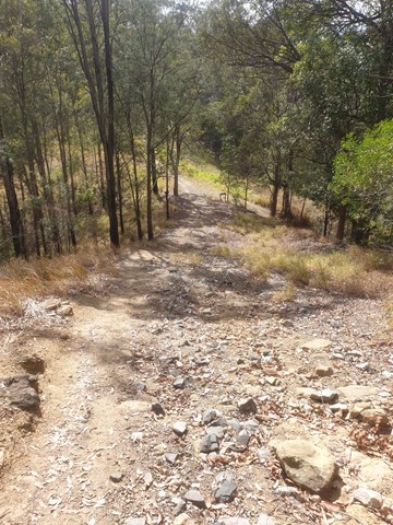
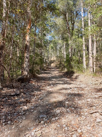
This walk takes you to the Stinson memorial crash site and the close-by Stinson remote bush camping site (no bush camping is allowed anywhere along the track, only with a permit in designated area). There is not much of the Stinson wreck left so I'd recommend doing this one sooner rather than later before it all goes under, there has been some serious treefall and landslide in the area in late 2020 and early 2021 due to heavy rains. The memorial area contains some plaques dedicated to those who lost their lives in the crash.
Aside from the wreck it is a lovely hike with diverse forest, land features and some easy unexposed rock scrambling/climbing although this could probably be avoided. There's even a bit of vine swinging to be done on the way back down if you're game.
It is a hard walk in rough terrain. The initial climb is very steep and fitness is key to completing the track in a decent time. It diverges off Westray's Grave track, just before reaching the grave, seeing the grave on the same walk is recommended (https://www.aussiebushwalking.com/qld/se-qld/lamington-np/westray-s-grave-from-christmas-creek).
 5
km
one-way
90
mins
5
km
one-way
90
mins
Toohey Forest Trailhead to Mt Gravatt Lookout
The track is paved then bitumen to wide track. This walk can be completed in almost all conditions. Crosses the Griffith Uni Campus.
 2.1
km
return
1
hr
2.1
km
return
1
hr
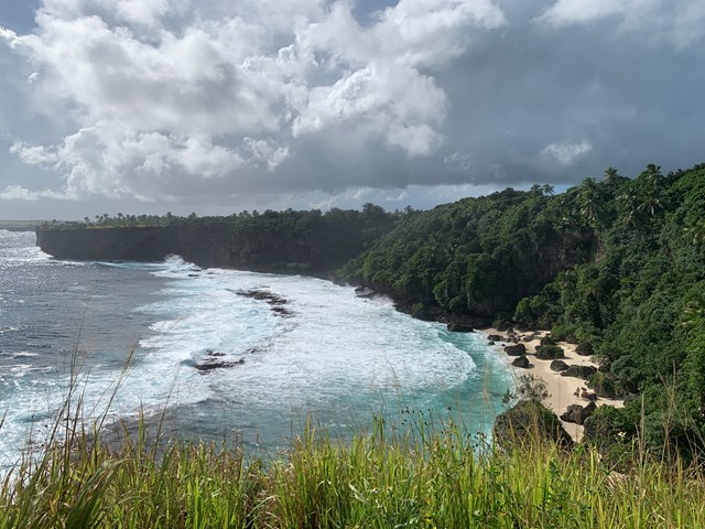
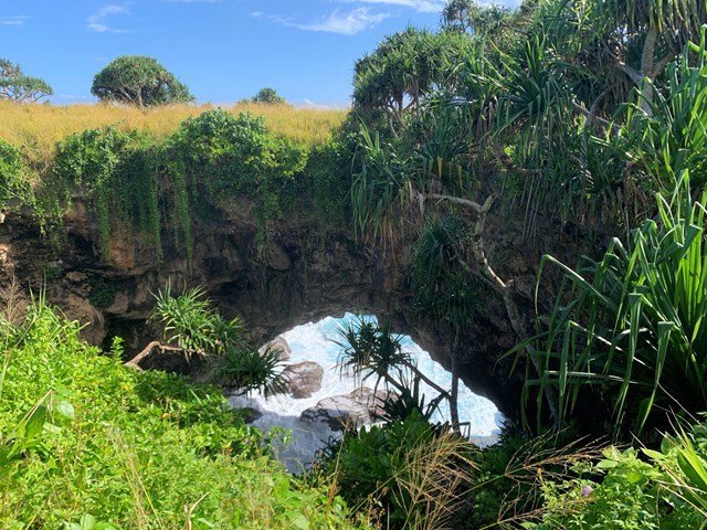
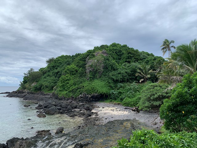
Hufangalupe Natural Land Bridge, Cliffs & Beach
A nice walk to some interesting coastal features. This walk starts along the coastal section of Hala Hufangalupe road which can be driven though the road is narrow and in rough condition. By walking the coastal section of this walk it only adds about 600m total before you reach the first of the features. The first feature is Hufangalupe Lookout which is reached via a short side trail to the right and views over Hufangalupe beach (Matatahi Hufangalupe). It is possible to reach the beach if you return to the main trail and detour backwards a couple of meters there is a rough track down through the gully to the beach (add about 200m distance to this walk if detouring to beach where you will lose ~30 vertical meters down to the beach and regain ~30 vertical meters back up to the main track). After the Hufangalupe Lookout and beach you can continue along the main track and take your next right to a lookout over the Hufangalupe Land Bridge and then walk over the bridge itself and follow the track along to the Ocean Spray Cliffs. Once you have explored the cliffs follow the inland (main) track back to your car past the Hufangalupe Land Bridge and the turn off you took to walk over it and the Hufangalupe Lookout turn off.
 700
m
return
45
mins
700
m
return
45
mins
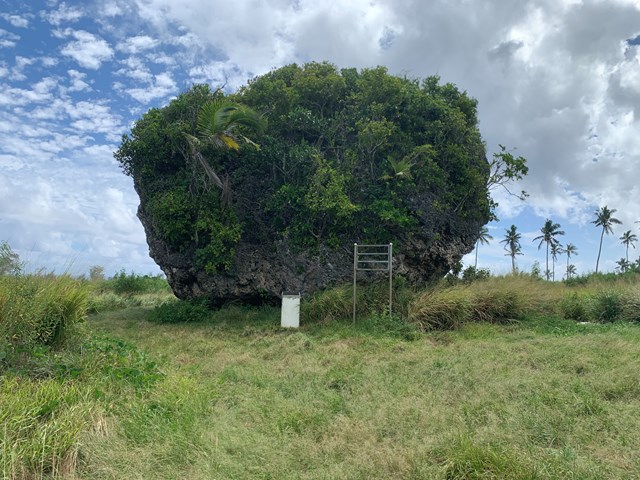
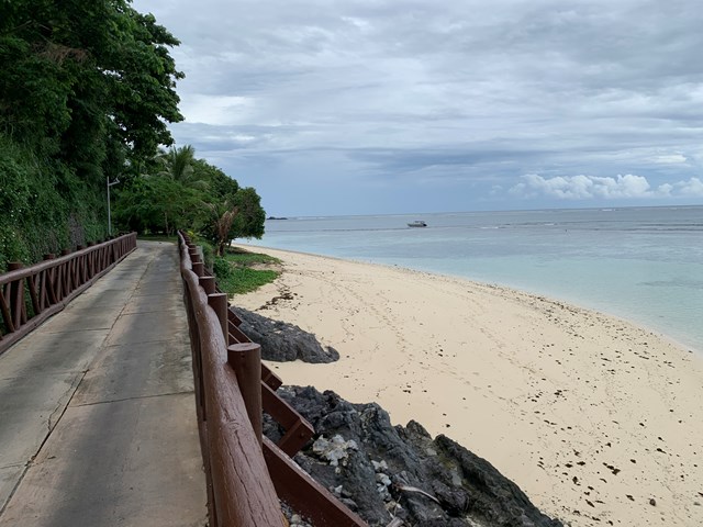
Tsunami Rock & Beach
A short walk to a pretty beach and the Tsunami Rock (The Maka Sio'ata) which is thought to be the largest piece of tsunami debris ever found. This large rock is believed to have been carried the 100m inland to where it now rests by a tsunami that hit Tonga thousands of years ago.
 800
m
return
30
mins
800
m
return
30
mins
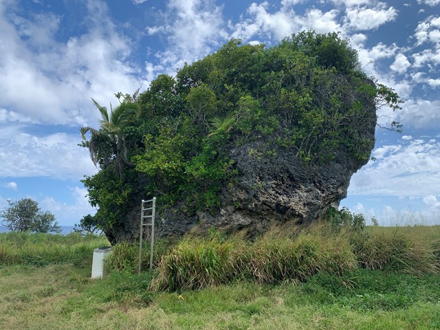
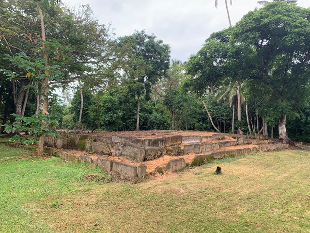
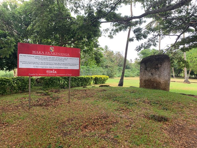
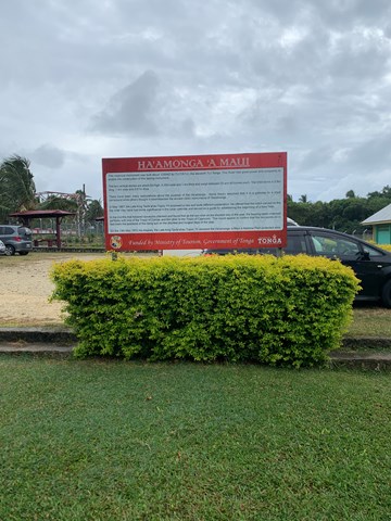
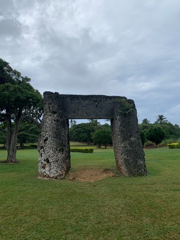
Ha’amonga ‘a Maui Trilithon
Visit the Stonehenge of the South Pasific. The Ha’amonga ‘a Maui Trilithon dates from 1200AD and is protected within the Ha’amonga ‘a Maui Historical Park. Take a stroll around the park and see the Ha’amonga ‘a Maui Trilithon as well as other historic monuments such as the Maka Fa'akinanga (Leaning Rock).
 800
m
return
1
hr
800
m
return
1
hr
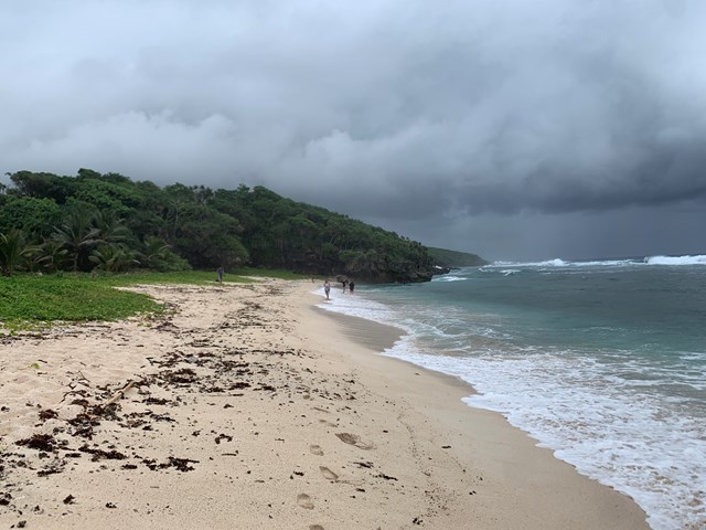
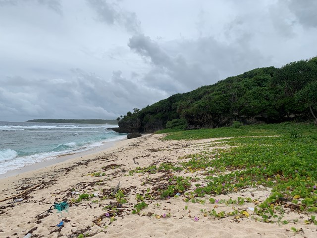
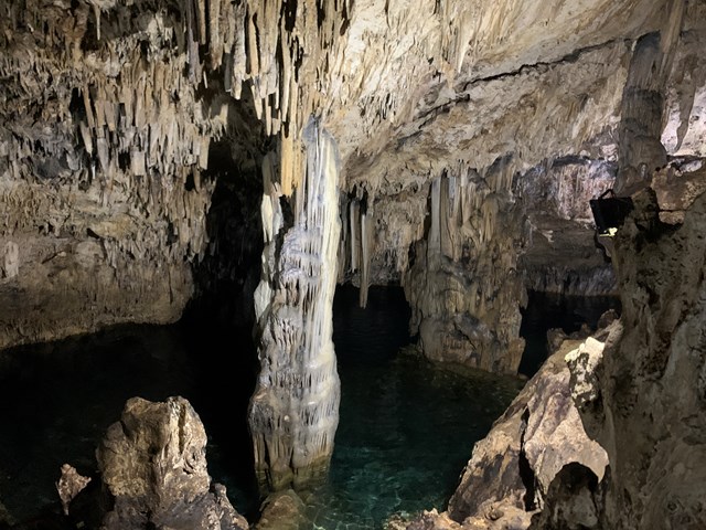
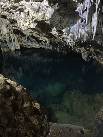
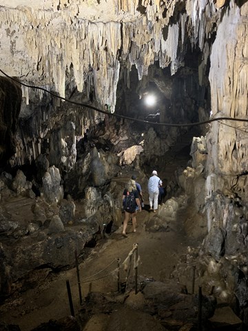
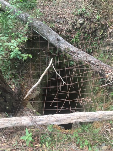
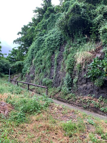
Anahulu Cave & Beach
A short walk on Tonga's main island Tongatapu. The walk includes a small enterance fee and will lead you into the Anahulu Cave and down to Anahulu beach. The cave has a main walkway and lighting but if your unsure on your feet you may want to bring extra light. The main attraction of the cave is that you can swim in the clear water.
 1.4
km
return
30
mins
1.4
km
return
30
mins
Mount Wongawallan
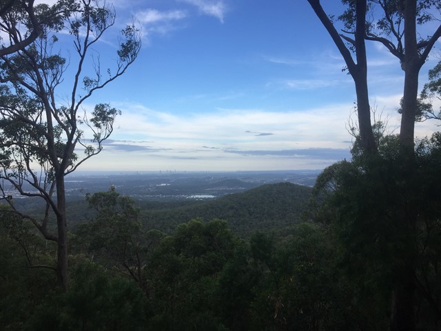
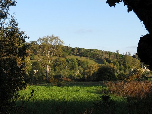
With multiple entrances to the reserve, it's your choice if you want a long or short walk either way there will be steep gradients. Once reaching the top of Mt Wongawallan you can find a deep hole, (assumed to be an old mine shaft) and a bit beyond that a wonderful lookout looking towards the Gold Coast Skyline.
 1.5
km
return
45
mins
1.5
km
return
45
mins
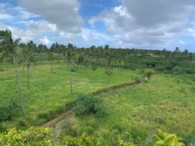
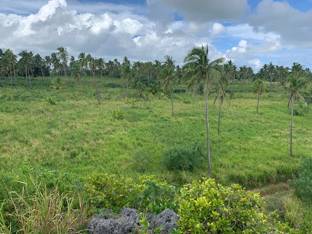
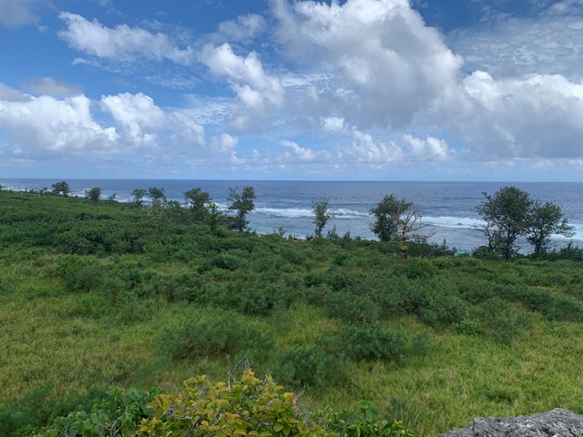
Matamanoa
A short walk around Matamanoa Island an island in the Mamanuca Islands group. The walk starts at the main resort area and visits Matamanoa's two highpoints.
 13
km
return
4
hrs
13
km
return
4
hrs
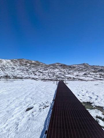
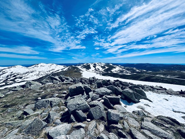
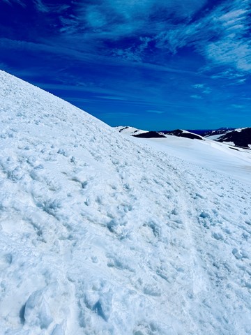
Mt Kosciuszko from Thredbo (Eagles Nest)
A 13km return walk from the Eagles Nest Restaurant (at the top of the Kosciuszko Chairlift). It's a pretty straightforward forward walk to the highest point in Australia. The track is easy to find and follow. It's a relatively general incline to the top, only moderate fitness required.
 13
km
5
hrs
13
km
5
hrs
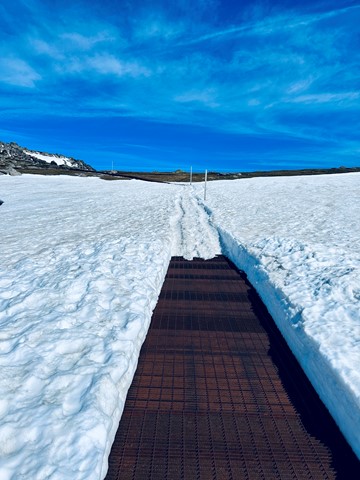
Kosciuszko Summit
Beautiful walk to the top of Australia, boardwalk all the way, still know you have walked it though, will probably be lots of people. Catch the chairlift up to top of Crackenback, enjoy the wild flowers, heaths and cross the headwaters of the Snowy River, wow what a way to spend the day. Take in the view.
 2
km
one-way
30
mins
2
km
one-way
30
mins
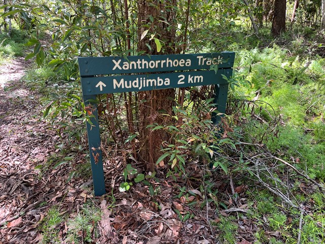
Xanthorrhoea Track (Maroochy River Conservation Area)
A peaceful and shady trail through the remnant bushland of the area.
 8
km
one-way
2
hrs
8
km
one-way
2
hrs
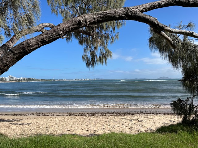
Mooloolaba Beach to Maroochydore (Picnic Point) (SCCP 7)
Coastal walk that is part of the Sunshine Coast Coastal Walk.
 10
km
one-way
2.5
hrs
10
km
one-way
2.5
hrs
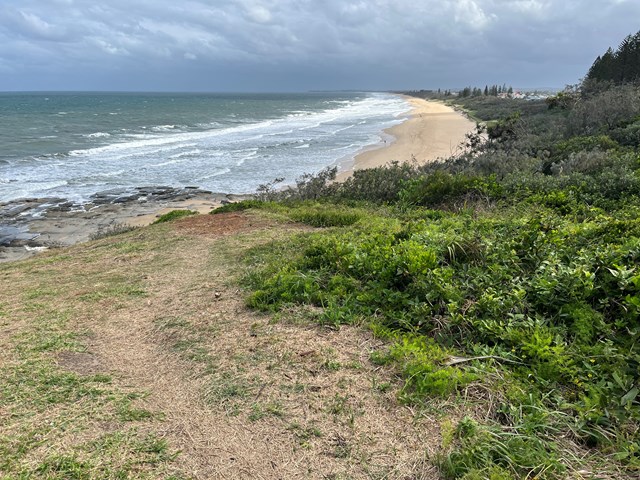
Bokarina to Pt Cartwright (SCCP 6)
Coastal walk that is part of the Sunshine Coast Coastal Path.
 8.1
km
return
2.5
hrs
8.1
km
return
2.5
hrs
Dularcha NP - Roses Circuit
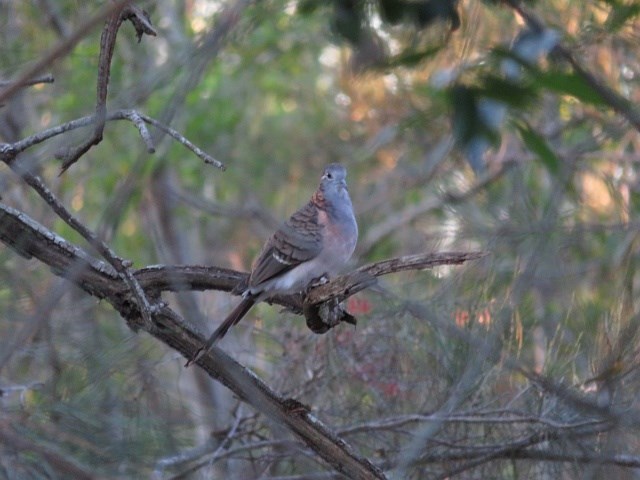
This multi-use recreation trail passes through dry sclerophyll forest and rainforest gullies and includes some views south to the Glass House Mountains from the top of the ridge (206m). Eucalypt forests and riparian areas with flooded gums, cabbage tree palms and rainforest plants feature here and provide habitats for a diversity of wildlife. Birdwatchers will enjoy the diversity of birds along the trail early and late in the day. Definitely take a copy of the map or a GPX file on GPS as lots of crossing tracks which can be confusing