
Menu

 5.4
km
return
5.4
km
return
 90
mins
90
mins
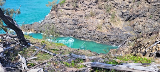
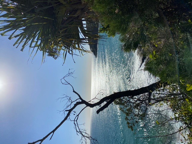
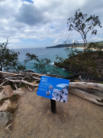
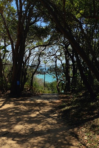
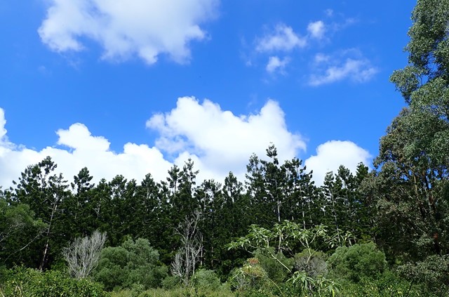
Hell's Gates walk
Coastal track on the northern side of Noosa National Park with great ocean views before returning over the hill on the Tanglewood track.
 7.7
km
return
2
hrs
7.7
km
return
2
hrs
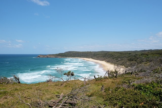
Sunshine Beach to Hell's Gate
From Sunshine Beach Surf Club to Alexandria Bay and back through the bush track at the first emergency phone beacon.
12
km
return
5
hrs
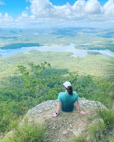
Mt Joyce Summit Walk
A easy, but long walk along the banks of the Wyaralong Dam to the summit track for Mt Joyce which rewards you with amazing views as far as Mt Barney.
 6
km
return
4
hrs
6
km
return
4
hrs
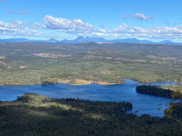
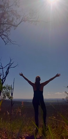
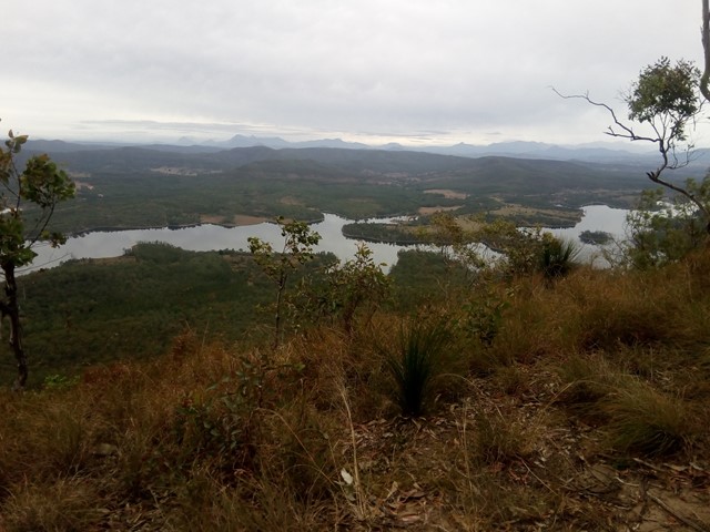
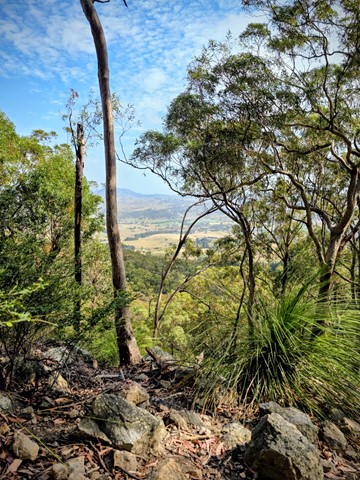
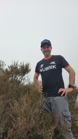
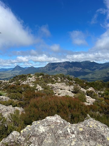
Mt Maroon
Mt Maroon provides some of the best views in South-East Queensland, with a 360 degree views ranging from Lamington NP through Mt Barney, the length of Main Range and the Moogerah Peaks.
No facilties on site, be sure to bring toilet paper etc.
Bring plenty of water and food/snacks.
 5
km
return
4
hrs
5
km
return
4
hrs
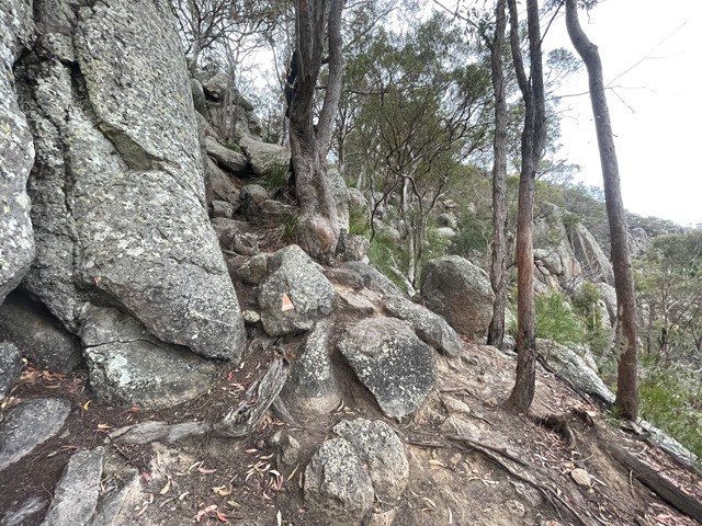
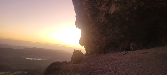
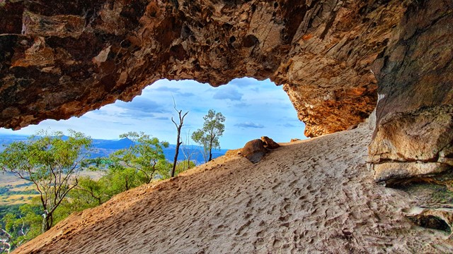
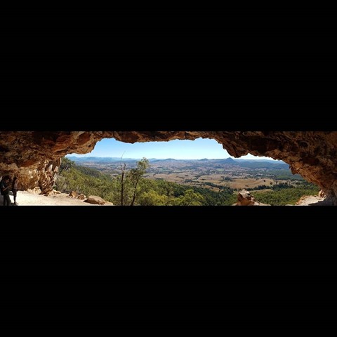
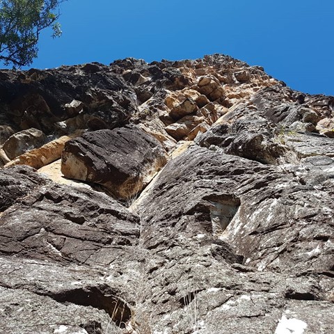
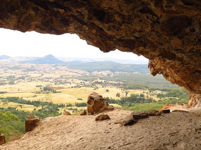
Mount Maroon Caves
A walk up from Cotswold trailhead to a cave on the northern side of the mountain.
Off track bush-bashing and some climbing.
 8.2
km
return
6
hrs
8.2
km
return
6
hrs
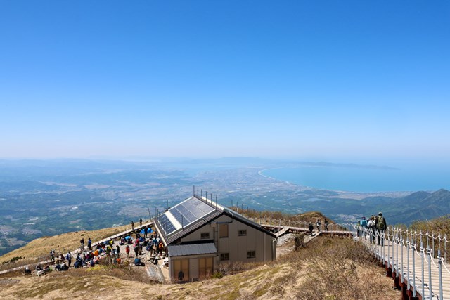
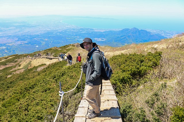
Mt. Daisen 大山 (Daisen-Oki National Park, Tottori Prefecture)
Stunning coastal and mountain views. One of the best hikes in Japan in terms of effort to view ratio.
 8
km
return
3
hrs
8
km
return
3
hrs
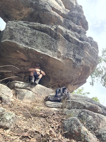
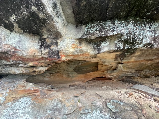
Spring Mountain via Dragon Spine (Ben Nevis Park trailhead)
From the Ben Nevis Park head through gate and up to top of first small hill then turn right onto the yaddadum trail for a few hundred metres before taking faint single track on the left marked by an ant mound. Follow trail up the ridge past balancing rock and eventually come to a steep rocky section with small scramble . From here it’s a few hundred meters to the fire rd at the base of Spring mtn. Turn left here then after a few hundred metres you Will come to a worn single track that leads to the spring mtn Sumit. Great views from the top and check out the small cave on way up. Around 8km return
 3.5
km
return
2
hrs
3.5
km
return
2
hrs
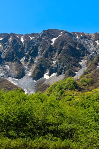
Mount Donna Buang (Summit)
Easy peaceful walk from the lower carpark area up to the summit of Mt Donna Buang. Relatively easy ascent in the dryer months, however can become moderately difficult in the winter months due to snow and rain making sections of the climb slippery.
(PBA my climbing data has been deleted off of my watch/phone all numbers are estimations)
11
km
return
6
hrs
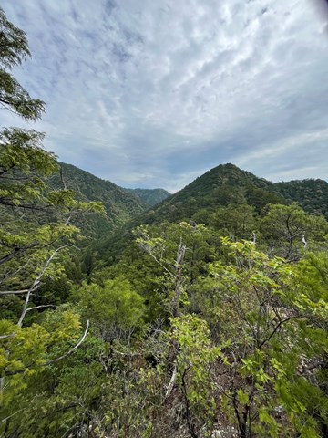
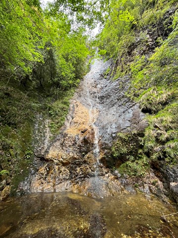
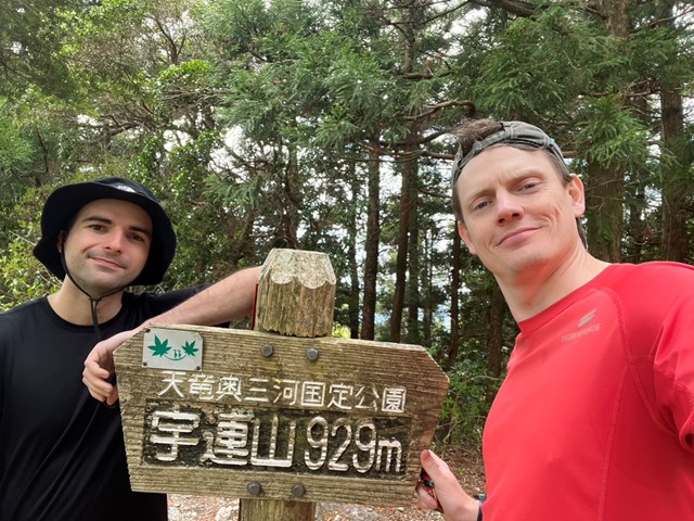
Uresan 宇連山 (Aichi Prefecture)
An okay walk out in the deep sticks of Aichi. Not particularly worth going out of one's way to hike.
 4.5
km
return
90
mins
4.5
km
return
90
mins
Banks Street Reserve
34 hectare bushland, leftover of the "Three Mile Scrub" rainforest in Alderley Heights/ Newmarket. Network of trails for walkers and bikes.
 3
km
one-way
1
hr
3
km
one-way
1
hr
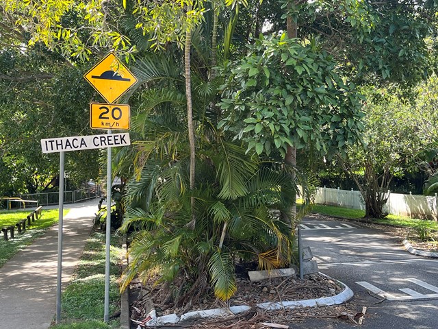
Ithaca Creek Walk
Shared path along the creek, located in local reserves/ parks and a few quiet local streets. Traversing the suburbs of Newmarket, Ithaca and Jubilee. It seems that in early days of settlement, the creek was considered as a freshwater source for Brisbane, before the Enoggera Dam was built.
 400
m
return
1
hr
400
m
return
1
hr
Momi Battery Historic Park
A short walk around the historic battery with view over the Navula passage. The deep-water passage to Nadi.
2.2
km
return
1
hr
Natadola Beach to Majeihau Island
A walk along Natadola beach to Majeihau Island which you can cross to at low tide via a tidal crossing.
2
km
one-way
30
mins
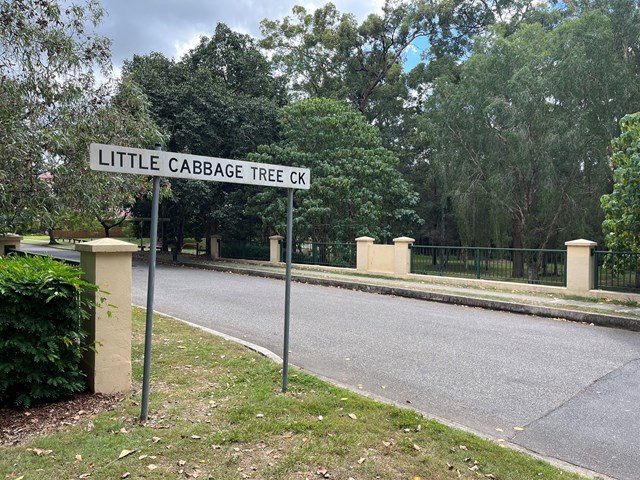
Little Cabbage Tree Creek Walk
Follow the Cabbage Tree Creek bikeway through local parks and remnant bush lands. Accessible by public transport. Including the suburbs of West Chermside and Aspley.
 6
km
one-way
2
hrs
6
km
one-way
2
hrs
Cabbage Tree Creek Walk (lower creek section)
Follow the Cabbage Tree Creek bikeway through local parks and remnant bush lands. Accessible by public transport. Including the suburbs of McDowall, Bridgeman Downs, Carseldine, Fitzgibbon.
1.3
km
one-way
20
mins
Pomax Track
This track passes through heathland where you can see spectacular plants including pomax, banksia, native irises and keraudrenia. It is named after the locally rare heathland plant pomax.
Grade: difficult, steep hills
Suited to: bushwalking, birdwatching, flora walks
Habitat: heathland
Must: look for wildflowers in September
 2
km
30
mins
2
km
30
mins
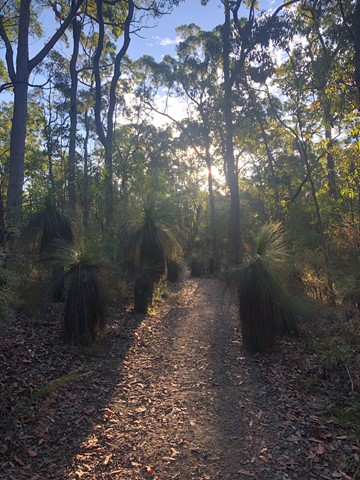
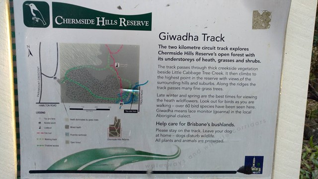
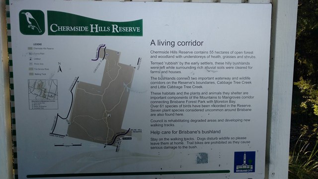
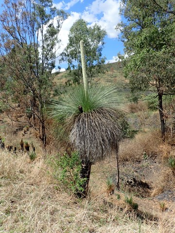
Giwadha Track (Chermside Hills Reserve)
This circuit track explores the Chermside Hills Reserves' open forest with its understorey of heath, grasses and shrubs. The track passes through thick vegetation beside Little Cabbage Tree Creek and climbs to the highest point in the reserve (Spider Hill) with views of the surrounding hills and suburbs.
Grade: medium, steep hills
Suited to: bushwalking, birdwatching, flora walks
Habitat: open eucalypt forest
Must: a sunset or sunrise walk to Spider Hill for amazing views
 18
km
one-way
4.5
hrs
18
km
one-way
4.5
hrs
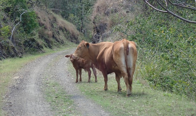
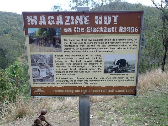
Benarkin to Linville- Part of BVRT
The Benarkin to Linville section is 18km, downhill. The only inclines are crossings of Blackbutt Creek. Initially the walk is through gum forest, with stands of hoop pine and stands of silky oak. Then it opens up and runs through farm land for the last 4 or 5 km. There are plenty of birds, notably many brown doves, and flocks of quail. There is a bellbird colony near 130 kilometric mark. Blackbutt is a pretty creek if running. There is a bit of rainforest on the banks. Historical railway spots and information are signed and very interesting. Surface is good - no slippery bits. There are three shelters along the way. MacNamara's Camp. about half way, has a toilet and water tank. Take your own water. And maybe insect repellent.
 2.8
km
return
50
mins
2.8
km
return
50
mins
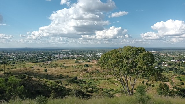
Towers Hill Walking Track
A short but steep circular walk with amazing views over Charters Towers and the surrounding land. As the site of the first gold discovery in Charters Towers, there are loads of points of historical interest including the ruins of Clark's Mines, the Pyrites Works, many WWII bunkers and the seismograph station. These are well signed with plenty of information boards and even audio-visual displays in two of the bunkers. There is also plenty of wildlife including rock wallabies and birds.
 1.5
km
return
1
hr
1.5
km
return
1
hr
Tavuni Hill Fort
This short walk around the Tavuni Hill Fort Archaeological Site combines history with some great views as the fort is situated on a 90m high limestone ridge that sits above the Sigatoka River.