
Menu

 15
km
one-way
15
km
one-way
 5.5
hrs
5.5
hrs
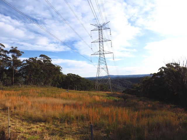
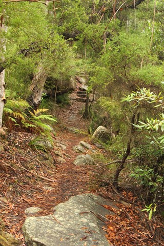
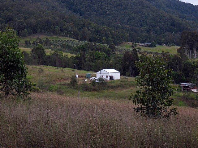
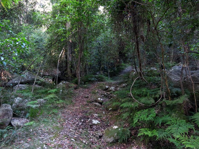
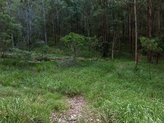
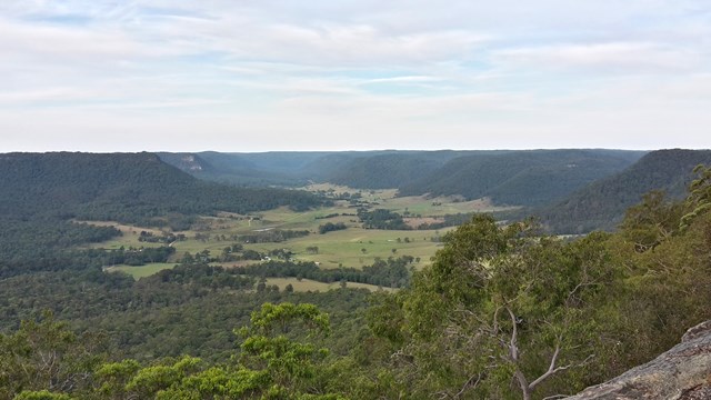
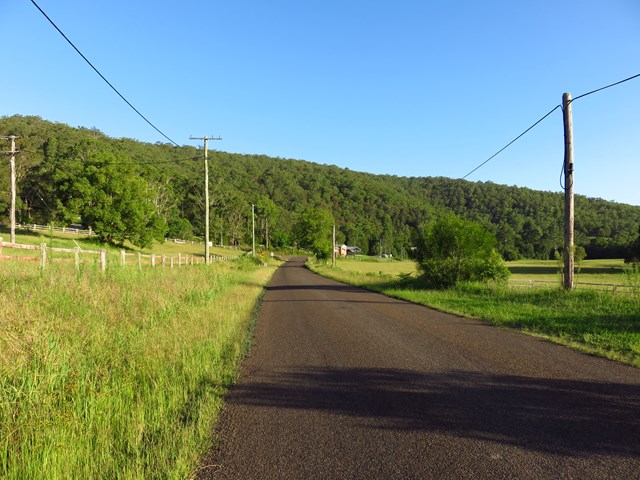
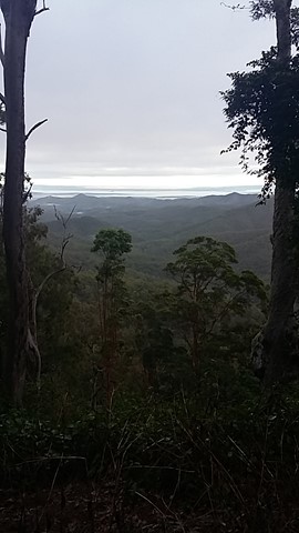
Ourimbah Valley Trackhead to Greta Road (GNW)
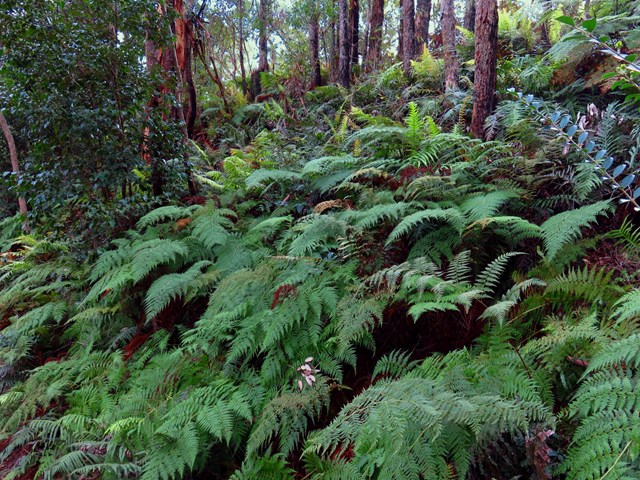
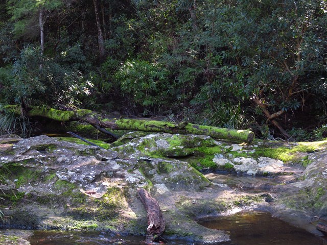
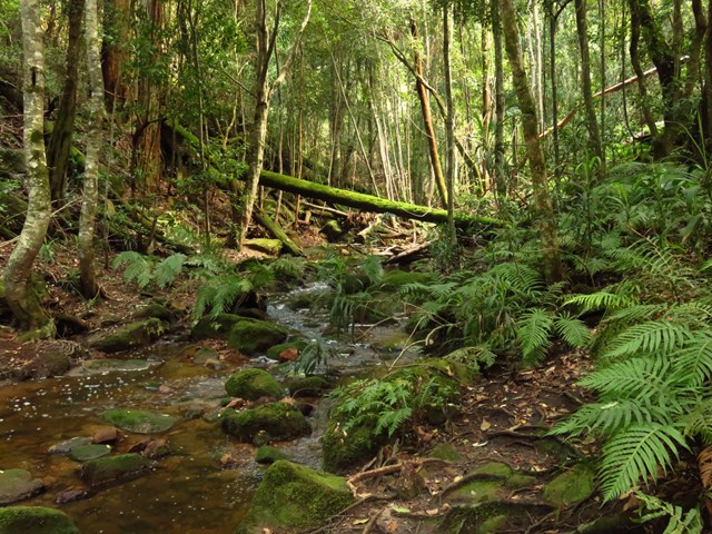
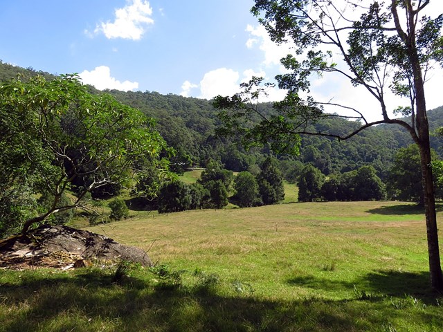
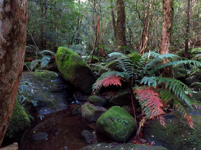
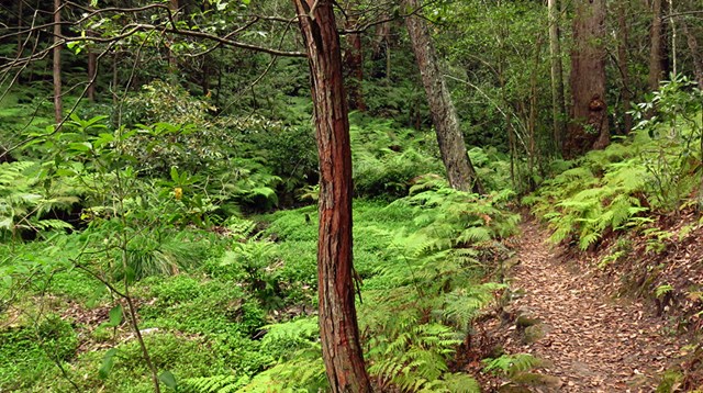
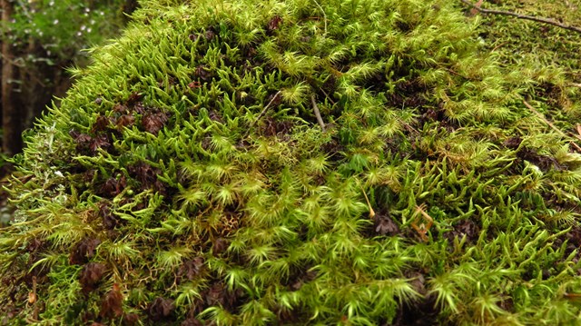
This pleasant walk explores the rural valleys and a beautiful section of Jilliby State Conservation Area. Starting at Ourimbah Valley Trackhead you walk into Hidden valley along the dirt road, to then follow a trail beside Ourimbah Creek to Stringy Bark Point. This is a pleasant mossy area with many ferns and near a wide sandy section of Ourimbah Creek. A bit further on you cross Ourimbah Creek then walk up the ridge to the dirt Tooheys Road. After turning off the old Tooheys Rd the Great North Walk leads along a narrow track and across the mossy and delightful Dead Horse Creek. The track then meanders through a heath and scribbly gum forest to Cherry Lane. After about a 1.5km road slog this walk leads you
to a GNW trackhead on Great Rd.
 4.4
km
one-way
90
mins
4.4
km
one-way
90
mins
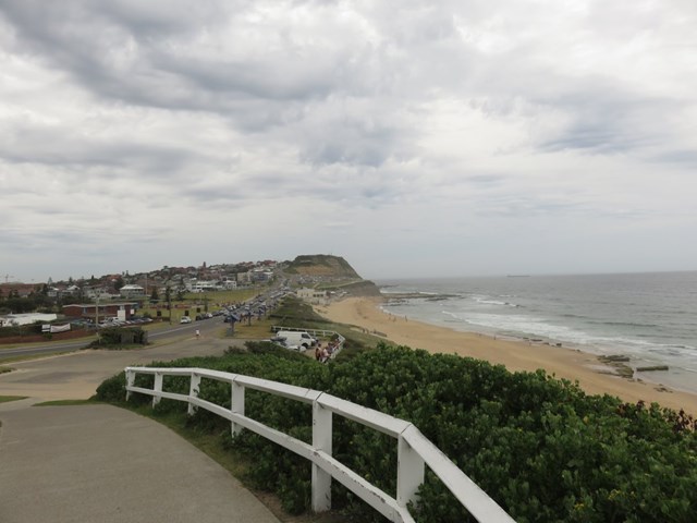
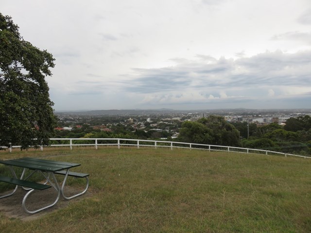
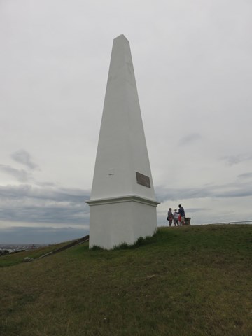
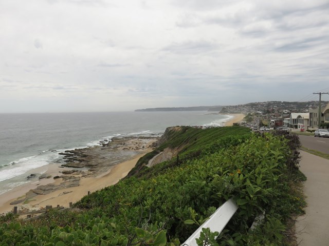
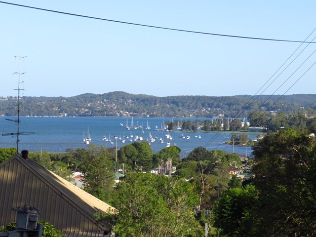
Merewether to Queens Wharf (GNW)
Starting from Merewether, you will mostly follow the coast line to Queens Wharf. After exploring some of Newcastle's (and arguably Australia's) best beaches, the grand views from Strzelecki Lookout, you then wander through King Edward Park where you can take the optional side trip to the intriguing Bogey Hole. The walk then takes you up to more panoramic views from the The Obelisk, before you stroll through Newcastle CBD and mall to Queens Wharf. There are a few long hills, just take you time and enjoy the salt air.
 4.3
km
one-way
90
mins
4.3
km
one-way
90
mins
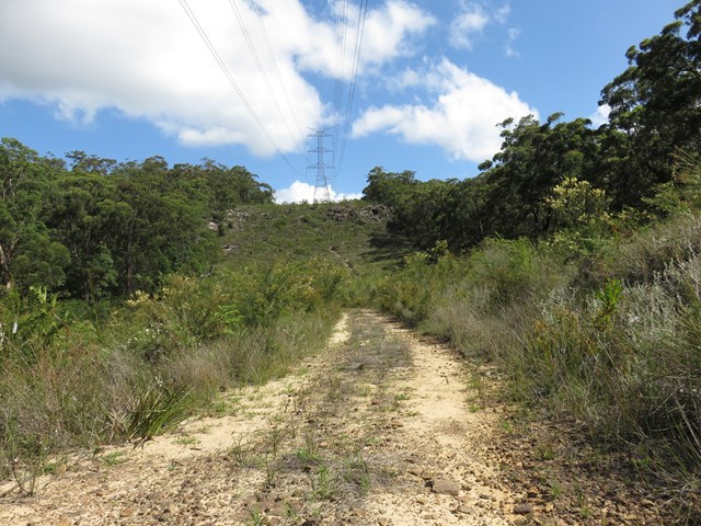
Heaton Lookout to Heaton Gap (GNW)
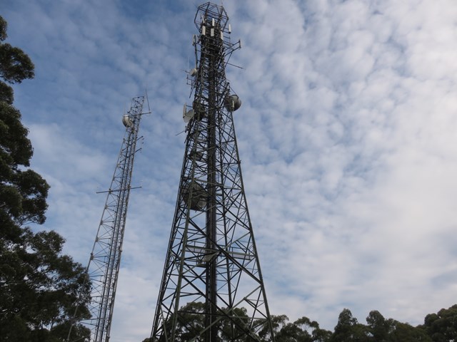
This section of the Great North Walk start from grand views at Heaton Lookout in Heaton state forest and leads to the picnic area and motel at Heaton Gap. The first section of this walk follows the dirt road to a communication tower before passing another lookout and expansive valley views. Here you start the steep decent along a rocky track and passing a lovely grove of grass trees. From here you follow a grassy trail and powerlines before the narrow track leads down and across the road at Heaton Gap.
 8.2
km
one-way
3.5
hrs
8.2
km
one-way
3.5
hrs
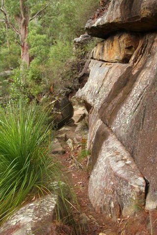
Hornsby to Galston Gorge (GNW)
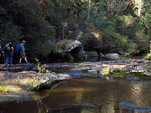
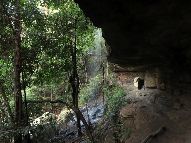
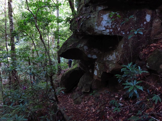
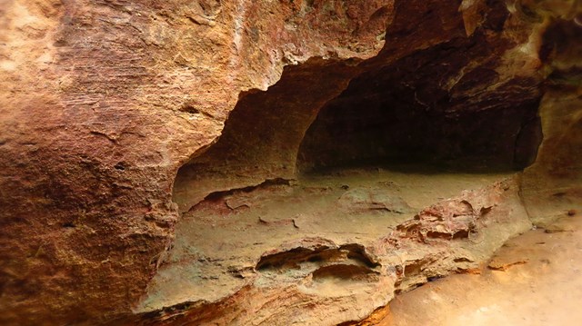
Starting at Hornsby station, you soon head into the bush and down the steep depression era stone steps through the volcanic Old Mans Valley, to a picnic area at the end of Rosemead Rd. Here you follow the Blue Gum walk through one of Sydney's rare Blue Gum Forest stands to then cross Berowra Creek a few times at Fishponds waterhole. After exploring the edge of the valley you will cross the Steele Military Bridge before climbing to Tunks Ridge rest area. Not far from here the walk starts to lead steeply down enjoying more sandstone caves to cross under Galston Road to find the Galston trackhead.
 16
km
one-way
6
hrs
16
km
one-way
6
hrs
Mooney Mooney Creek Trackhead to Somersby (GNW)
This enjoyable walk starts from where the old Pacific Hwy where you walk along dirt roads and trails for while alongside the wide Mooney Mooney Creek, and under the huge F3 Mooney Mooney bridge. The wide track continues upstream, passing a few campsites before crossing the wide creek at a pleasant large rock platform. Not too long after crossing the creek you will pass the lower Mooney Mooney Dam where the old trail leads you uphill past another campsite, a quarry to the Somersby Reservoir. The track then leads past some rural properties and across the delightful Robinson Creek among the Gymea Lilies before finishing with a section of road walking to the Somersby Store.
 8.1
km
one-way
4
hrs
8.1
km
one-way
4
hrs
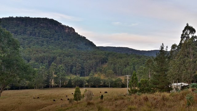
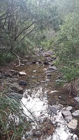
Watagan Headquarters to Heaton Lookout (GNW)
This scenic walk includes dramatic lookouts and time spent in moist cool forest. The walk initially travels on dirt road past Hunter and MacLean’s Lookout, before descending into the Wallis Creek catchment. Here the walk traverses underneath many cliffs before crossing Wallis Creek and arriving at Heaton Lookout. A recommended walk with car access either end.
 15
km
one-way
6
hrs
15
km
one-way
6
hrs
Heaton Gap to Teralba Station (GNW)
This section of the Great North Walk starts from Heaton Gap near the Watagan Forest Motel, and winds east, towards Newcastle. The walk passes through the Awaba State Forest and past the Sugarloaf range, down into Wakefield and on to Teralba, a pleasant town on the edge of Lake Macquarie. Accommodation is available at both ends of this day walk.
 13.8
km
one-way
5
hrs
13.8
km
one-way
5
hrs
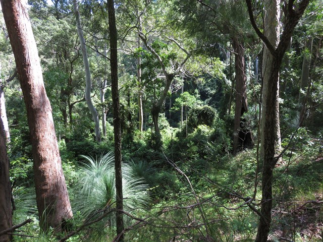
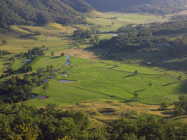
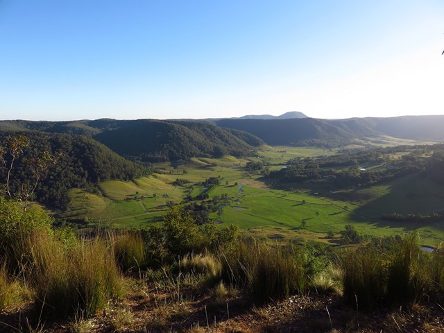
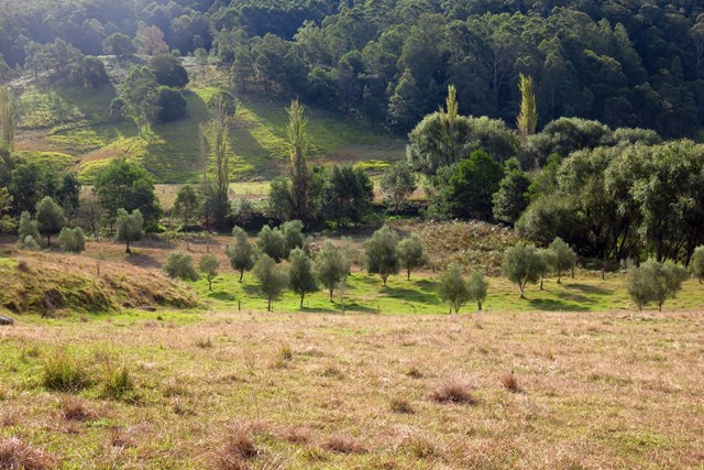
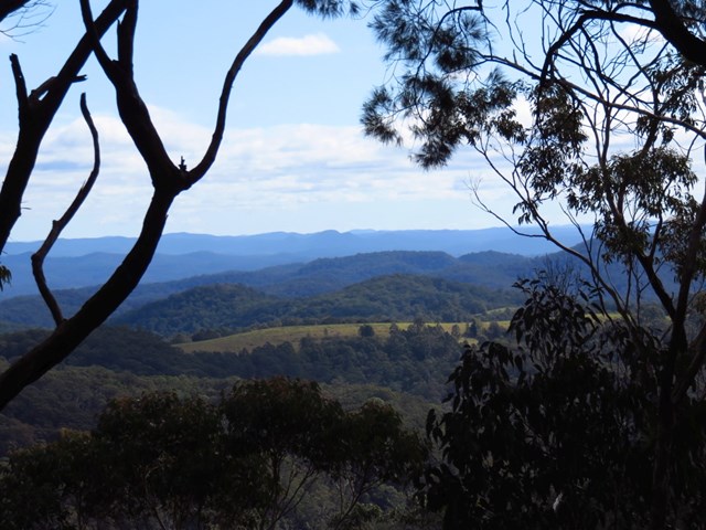
Flat Rock to Congewai Valley East Track Head (GNW)
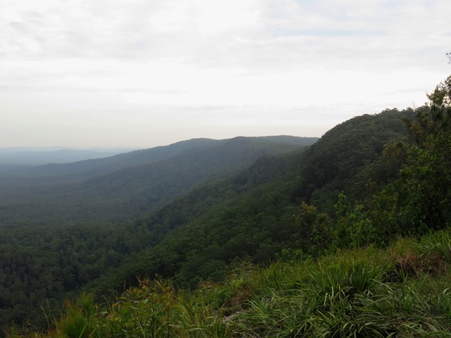
Starting from the grand views of Flat Rock Lookout high on the range, you will walk down into the Congewai Valley below. On the first section of this walk, you will explore a little used dirt road to the Congewai Communication Tower. From here you follow a series of tracks that wind down, steeply in places, through the tall open forest with a scattering of grass trees to the bottom of the range. Now the walk guides you through open farmland before following Congewai Road along main valley to the trackhead near Brown Muir Farm.
 17.2
km
one-way
7
hrs
17.2
km
one-way
7
hrs
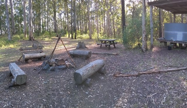
Congewai Valley Trackhead (East) to Watagan Headquarters (GNW)
This full day walk starts from the Congewai valley trackhead (east) and follows the Great North Walk up into the Watagan National Park. Winding east along Georges road for the most part, this walk also passes many great lookouts and gives the option of a side trip down to the 125r lookout, which provides a great view to the south and nice spot for lunch. The walk finishes at the Watagan Headquarters campsite, which has a fire place and a picnic table.
 4.1
km
one-way
2
hrs
4.1
km
one-way
2
hrs
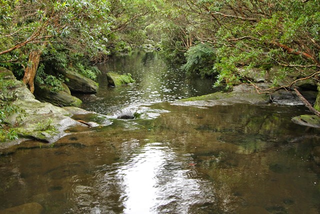
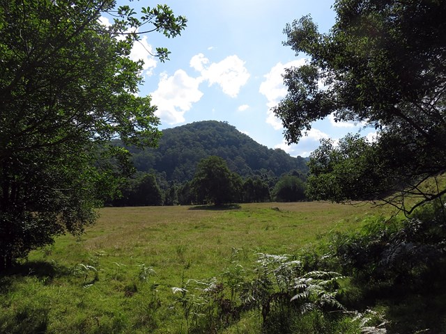
Watagan Creek Rd to Flat Rock (GNW)
This walk starts on Watagan Creek Road and soon crosses the lovely Watagan Creek. From this point, the walk leaves the Watagan valley and climbs steeply up the bush track through forest. The walk then travels on dirt road, passing a campsite and rest area, before arriving soon afterwards at the unfenced Flat Rock Lookout. Flat Rock Lookout is a natural rock platform that offers magnificent views across the Congewai Valley to the east and north. An enjoyable walk, offering pleasant walking through forest and an outstanding viewpoint.
 9.7
km
one-way
4.5
hrs
9.7
km
one-way
4.5
hrs
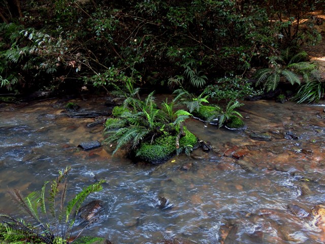
Cedar Brush to Basin Campsite (GNW)
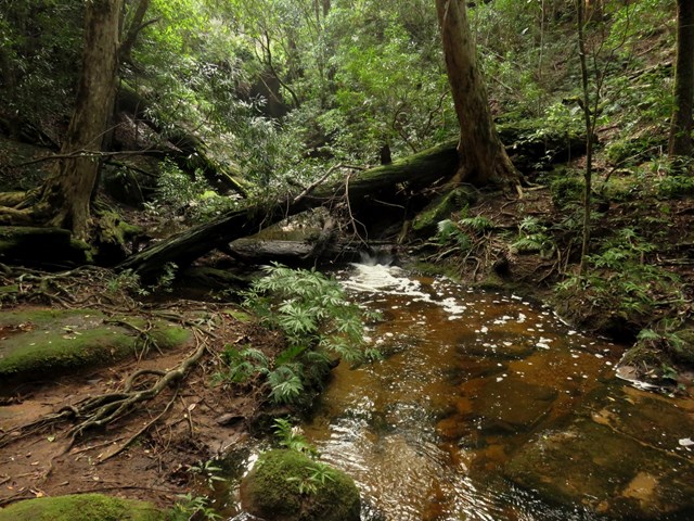
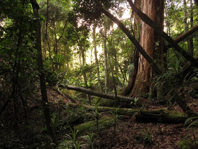
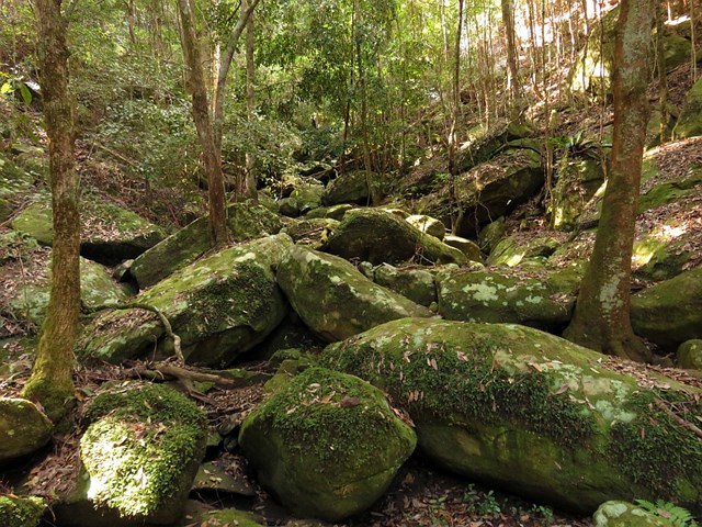
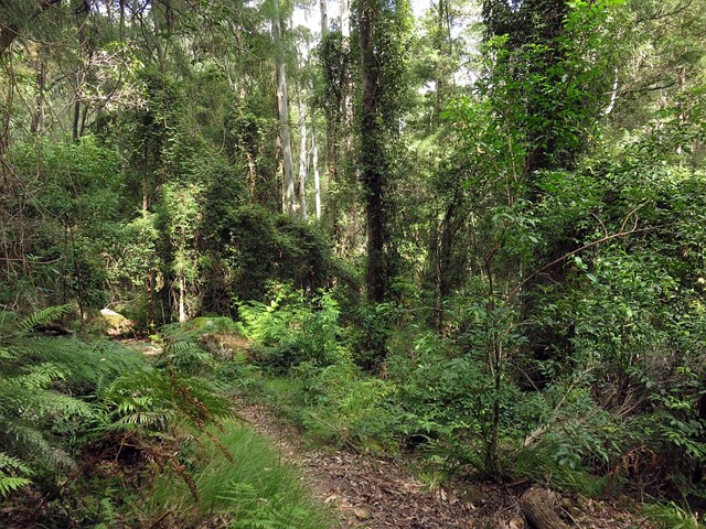
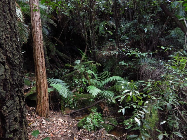
This section of the Great North Walk makes a good walk to a comfortable campsite, with the section along the Lyrebird Trail by the Wollombi Brook being particularly recommended. From the Cedar Brush track head, the walk winds up into the Olney State Forest through bushland (crossing over two moist gullies). Once most of your height is gained, this walk follows unsealed road before dropping down into the Wollombi Brook gully. From here, the walk follows bush tracks along Lyrebird Trail and to the Basin Campsite
 5.6
km
one-way
2
hrs
5.6
km
one-way
2
hrs
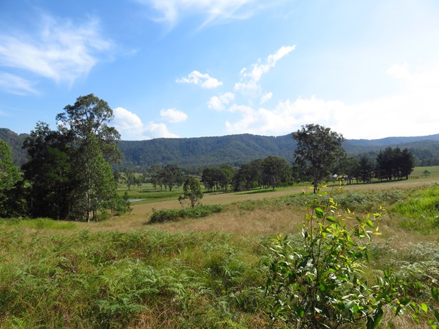
Greta Rd to Yarramalong (GNW)
This section of the Great North Walk explores a section of the historic Bumble Hill Dray track. You will walk along the edge of ridge mostly through an open dry eucalypt forests and occasionally through moist ferny gullies as well as alongside the base of a tall rock wall. Bumble Hill Dray track was cut during the mid 1800’s to allow teams of bullocks to haul felled cedar to Mangrove Creek, where a barge would take it to Sydney. The oxen are now long gone, but this is a great way to lead into the small Yarramalong township.
 11
km
one-way
3.5
hrs
11
km
one-way
3.5
hrs
Yarramalong to Cedar Brush (GNW)
Starting at the quaint Yarramalong township, this walk follows a couple of rural roads to the Cedar Brush Trackhead. This is the longest road stretch on the Great North Walk. Some people see this is a road slog and either grab a lift or power walk it, others see it as an opportunity to stroll through the country side. However you choose to undertake this section of the walk I encourage you to enjoy the valley views and soak up the vibe on the semi secluded rural valley community.
 13
km
one-way
6
hrs
13
km
one-way
6
hrs
Basin Campsite to Watagan Valley (GNW)
This varied walk travels north through the Watagans. Leaving the Basin campsite behind, the walk traverses the Wollombi Brook via the Lyrebird trail. The Wollombi Brook Pool is a great spot to stop (and take a swim) on a hot day. From the pool, the walk climbs into the Warrawolong Flora Reserve using a combination of bush tracks and dirt roads. Along the way, a side trip to Mt Warrawolong offers views on the way to the highest point in the area. This walk finishes by descending into the beautiful Watagan Valley.
 8
km
return
3
hrs
8
km
return
3
hrs
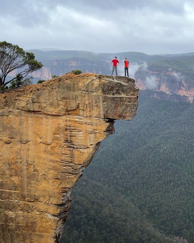
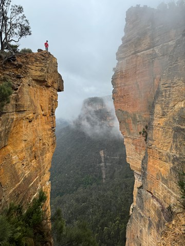
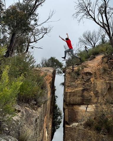
Baltzer Lookout (Hanging Rock)
This walk to Baltzer Lookout along Burramoko Ridge rewards you with excellent scenery and a view over the stunning Hanging Rock (aka the Finger). The track is mainly management trail, and would be great on a mountain bike (to the end of the management trail). The large cliff edges are unfenced and quite exposed, so do take care. Although short and relatively unchanging in scenery, the walk to Baltzer Lookout is well worth it.
 22
km
return
6
hrs
22
km
return
6
hrs
Kiama Coast Walk
Starting at the mouth of Minnamurra river following the spectacular coast south to Gerringong.
2.7
km
return
1
hr
Lawson Lookout from Fairy Dell Reserve
This walk is a great way to go to Lawson Lookout, especially if you are coming from Fairy Dell Reserve picnic area. With Springwood just out of ear shot, the walk meanders down the Magdala Gully, then leads up to Lawson Lookout for a great view across the valley.
 10.5
km
return
4.5
hrs
10.5
km
return
4.5
hrs
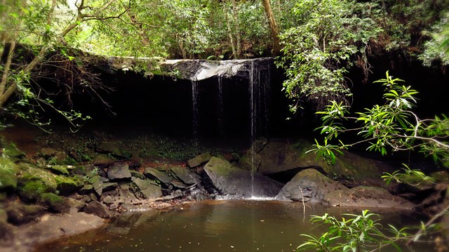
Sassafras Gully Loop
The Sassafras Gully loop is an excellent walk setting out from Springwood Station. The walk uses the gullies to navigate past some wonderful rock features, dense bushland and waterfalls. A nice cool walk in the shade and never too far from water.
 15.4
km
one-way
4
hrs
15.4
km
one-way
4
hrs
Mt Glorious to Dundas Road
This is a fantastic walk which is actually the first leg of the annual Oxfam Walk. You do need two cars for this walk - park one car at Mt Nebo Road transfer station, Dundas Road and another at Miala picnic Grounds, Mt Glorious. We started from Miala and enjoyed spectacular views out towards Lockyear Valley before we gently wound our way down to the bottom of the valley. Make sure you enjoy a rest at the creek because ahead of you is a VERY steep walk out of the valley. This is the steepest hill I have ever walked and the trail was very slippery - it was actually easier to walk beside the trail, then we could use the trees to hold onto! The hill goes on FOREVER, but when you eventually reach the top you will have a real sense of achievement - and more sensational views!
More detailed information about this walk can b e found here: https://trailwalker.oxfam.org.au/wp-content/uploads/2014/12/BNE_map1.pdf