
Hornsby to Galston Gorge (GNW)
New South Wales


Menu
GPS Tracks
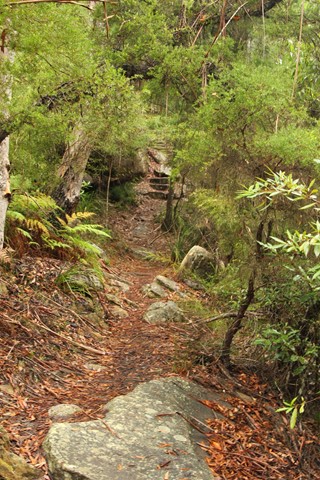
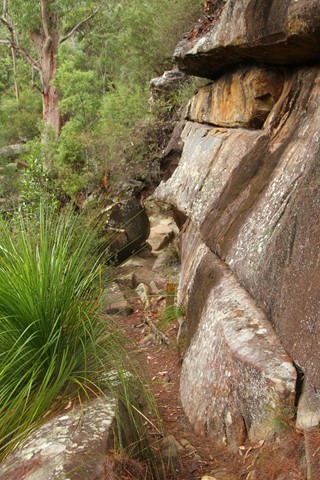
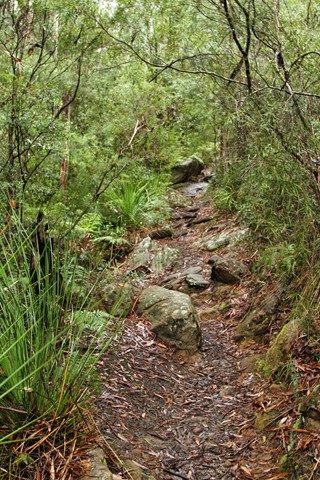

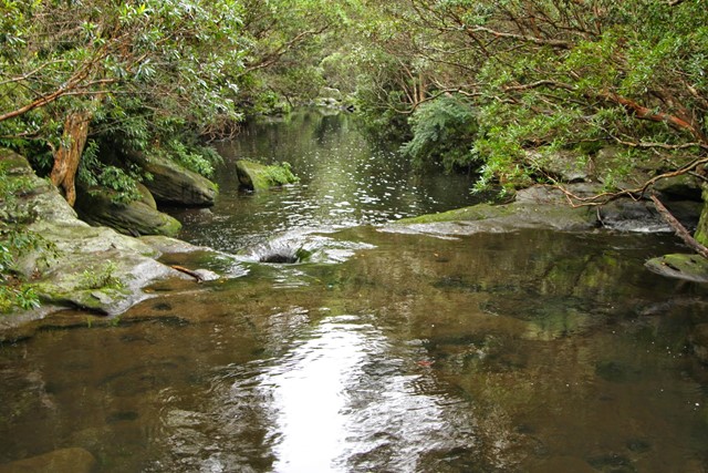
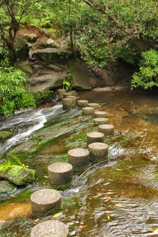
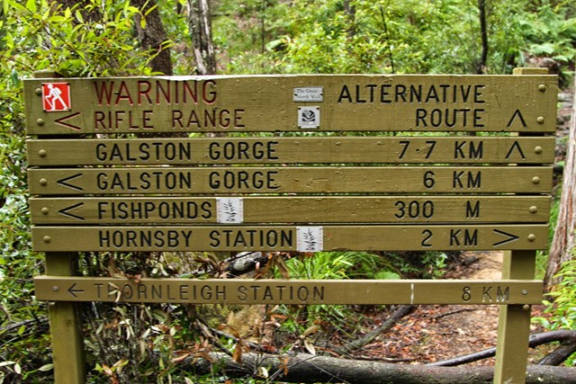

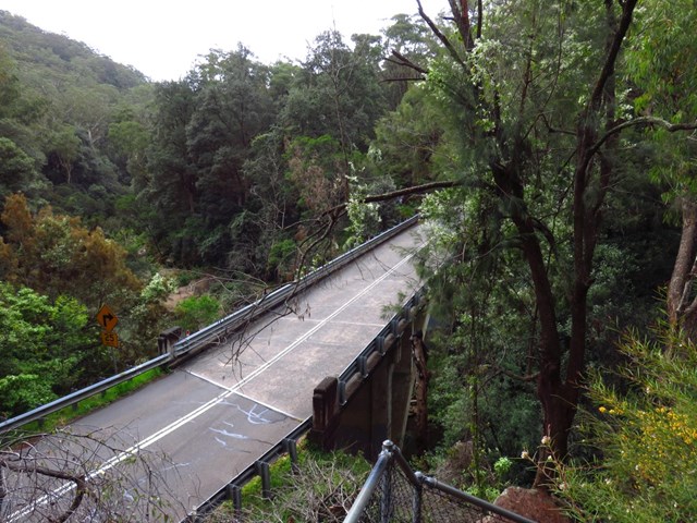
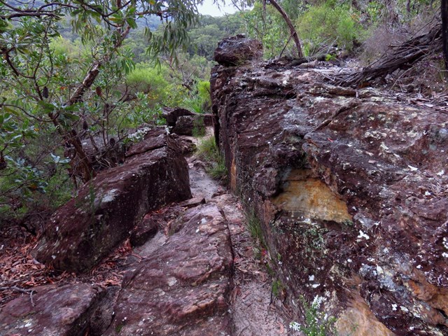
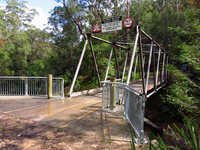
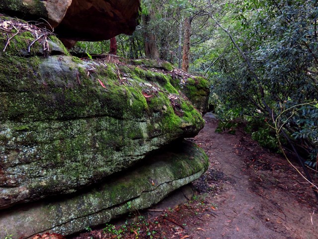
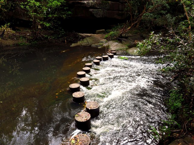

Starting at Hornsby station, you soon head into the bush and down the steep depression era stone steps through the volcanic Old Mans Valley, to a picnic area at the end of Rosemead Rd. Here you follow the Blue Gum walk through one of Sydney's rare Blue Gum Forest stands to then cross Berowra Creek a few times at Fishponds waterhole. After exploring the edge of the valley you will cross the Steele Military Bridge before climbing to Tunks Ridge rest area. Not far from here the walk starts to lead steeply down enjoying more sandstone caves to cross under Galston Road to find the Galston trackhead.

Getting there
Start at Hornsby Train Station or at the picnic grounds end of Rosemead Rd, HORNSBY NSW. Please note there is no public transport at the end of the walk, you will need to either drive or continue walking the GNW until to reach Ku-ring-gai Train Station (additional 12.6km).
Maps
Which maps cover the area?
Route/Trail notes
See link for step-by-step instructions or attached GPS file.
Permits/Costs
NIL
 Hornsby to Galston Gorge (KML)
 8.2
8.2 3.5
3.5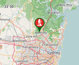
Comments