
Mooney Mooney Creek Trackhead to Somersby (GNW)
New South Wales


Menu
GPS Tracks
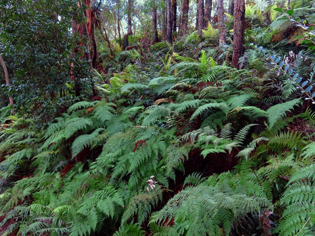
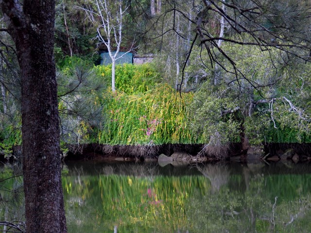
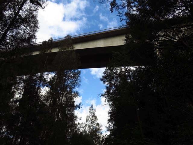
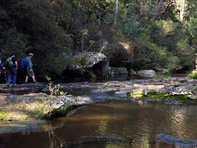
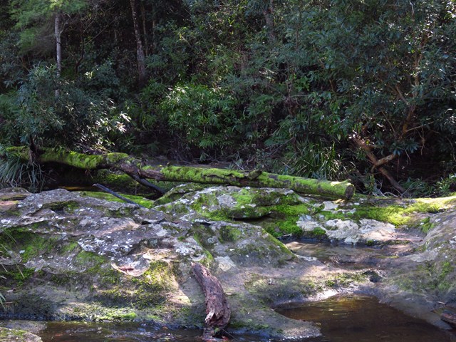
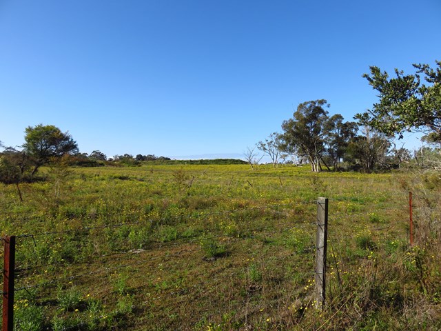
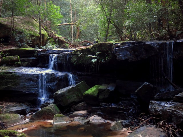
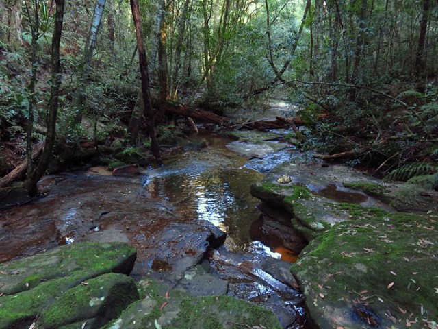
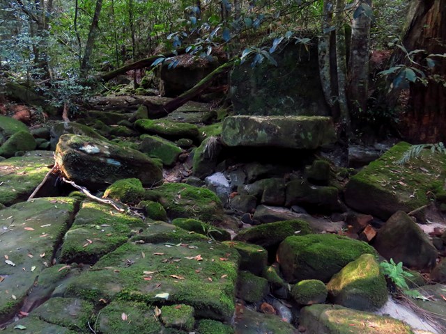
This enjoyable walk starts from where the old Pacific Hwy where you walk along dirt roads and trails for while alongside the wide Mooney Mooney Creek, and under the huge F3 Mooney Mooney bridge. The wide track continues upstream, passing a few campsites before crossing the wide creek at a pleasant large rock platform. Not too long after crossing the creek you will pass the lower Mooney Mooney Dam where the old trail leads you uphill past another campsite, a quarry to the Somersby Reservoir. The track then leads past some rural properties and across the delightful Robinson Creek among the Gymea Lilies before finishing with a section of road walking to the Somersby Store.

Getting there
Drive to corner of Pacific Highway and Karool Rd, Mooney Mooney Creek NSW.
Maps
Which maps cover the area?
Route/Trail notes
See attached GPS file and link below.
Permits/Costs
NIL
 Mooney Mooney Creek to Somersby (KML)
 16
16 6
6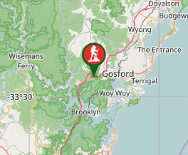
Comments