Menu

 4.1
km
one-way
4.1
km
one-way
 2
hrs
2
hrs
Watagan Creek Rd to Flat Rock (GNW)
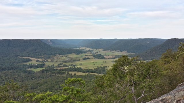
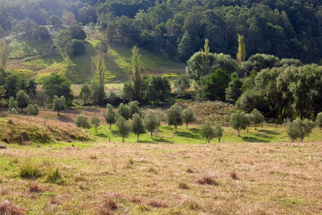
This walk starts on Watagan Creek Road and soon crosses the lovely Watagan Creek. From this point, the walk leaves the Watagan valley and climbs steeply up the bush track through forest. The walk then travels on dirt road, passing a campsite and rest area, before arriving soon afterwards at the unfenced Flat Rock Lookout. Flat Rock Lookout is a natural rock platform that offers magnificent views across the Congewai Valley to the east and north. An enjoyable walk, offering pleasant walking through forest and an outstanding viewpoint.


 9.7
km
one-way
4.5
hrs
9.7
km
one-way
4.5
hrs
Cedar Brush to Basin Campsite (GNW)
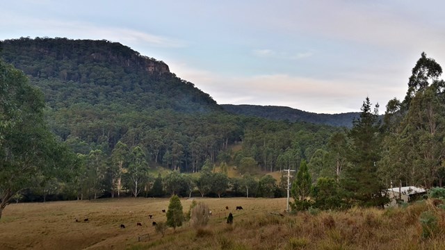
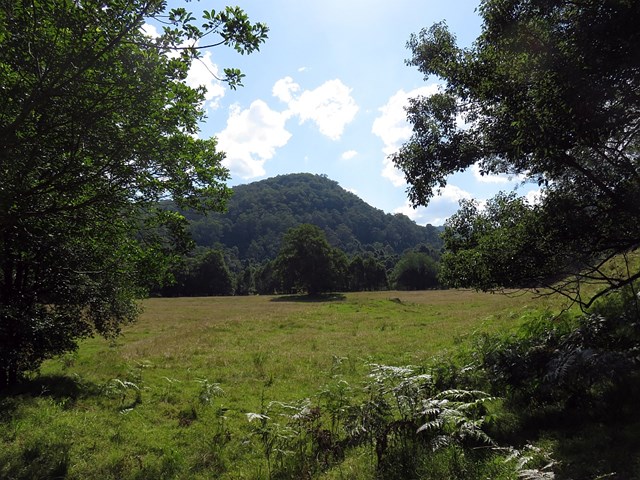
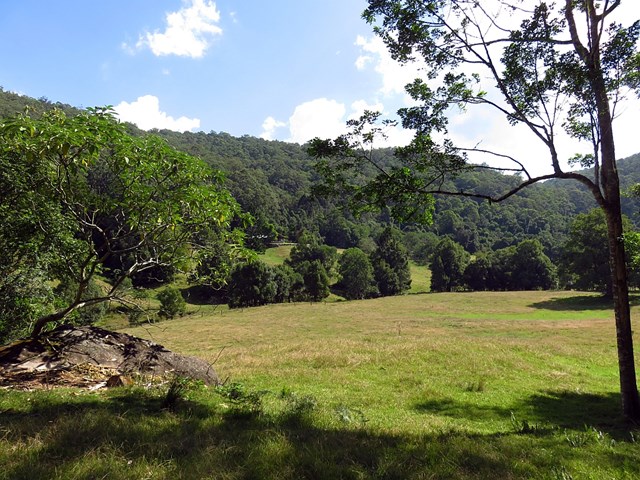
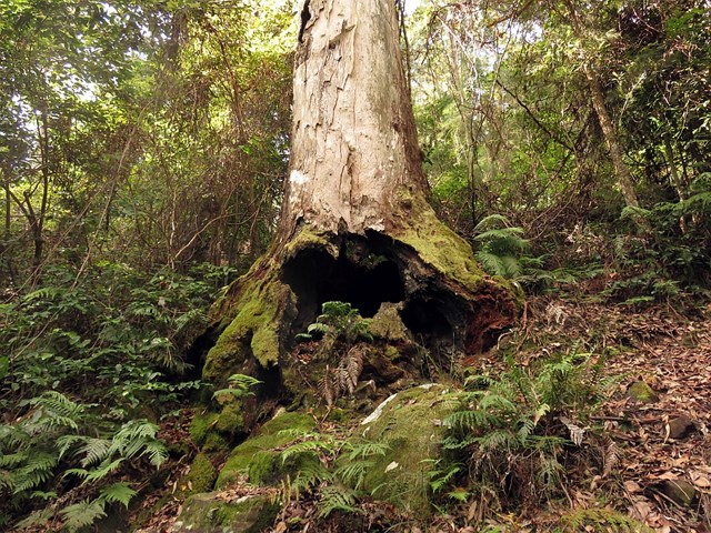
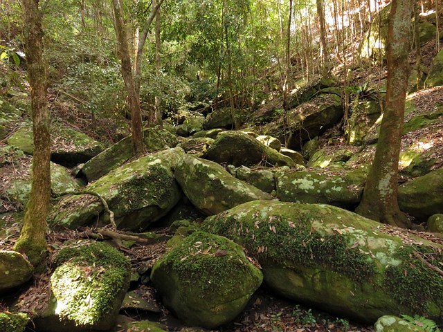
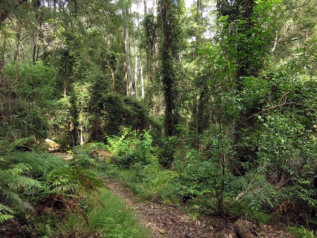
This section of the Great North Walk makes a good walk to a comfortable campsite, with the section along the Lyrebird Trail by the Wollombi Brook being particularly recommended. From the Cedar Brush track head, the walk winds up into the Olney State Forest through bushland (crossing over two moist gullies). Once most of your height is gained, this walk follows unsealed road before dropping down into the Wollombi Brook gully. From here, the walk follows bush tracks along Lyrebird Trail and to the Basin Campsite
 5.6
km
one-way
2
hrs
5.6
km
one-way
2
hrs
Greta Rd to Yarramalong (GNW)
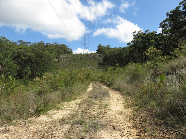
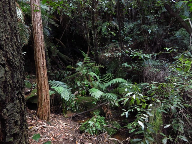
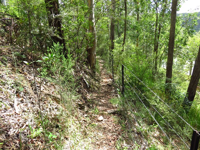
This section of the Great North Walk explores a section of the historic Bumble Hill Dray track. You will walk along the edge of ridge mostly through an open dry eucalypt forests and occasionally through moist ferny gullies as well as alongside the base of a tall rock wall. Bumble Hill Dray track was cut during the mid 1800’s to allow teams of bullocks to haul felled cedar to Mangrove Creek, where a barge would take it to Sydney. The oxen are now long gone, but this is a great way to lead into the small Yarramalong township.

 11
km
one-way
3.5
hrs
11
km
one-way
3.5
hrs
Yarramalong to Cedar Brush (GNW)
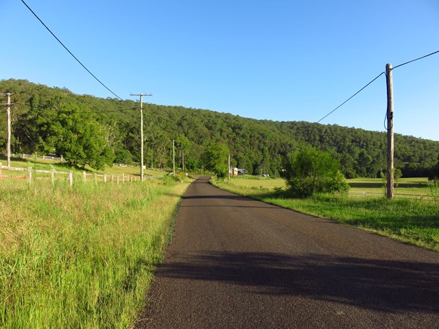
Starting at the quaint Yarramalong township, this walk follows a couple of rural roads to the Cedar Brush Trackhead. This is the longest road stretch on the Great North Walk. Some people see this is a road slog and either grab a lift or power walk it, others see it as an opportunity to stroll through the country side. However you choose to undertake this section of the walk I encourage you to enjoy the valley views and soak up the vibe on the semi secluded rural valley community.

 13
km
one-way
6
hrs
13
km
one-way
6
hrs
Basin Campsite to Watagan Valley (GNW)
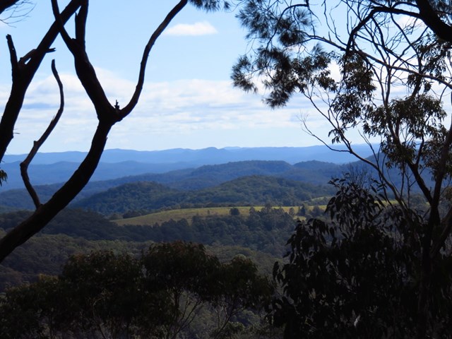
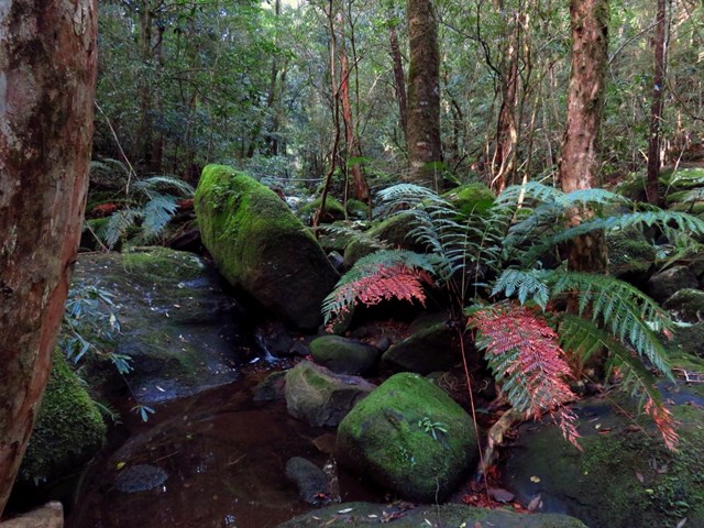
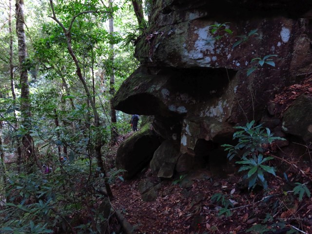
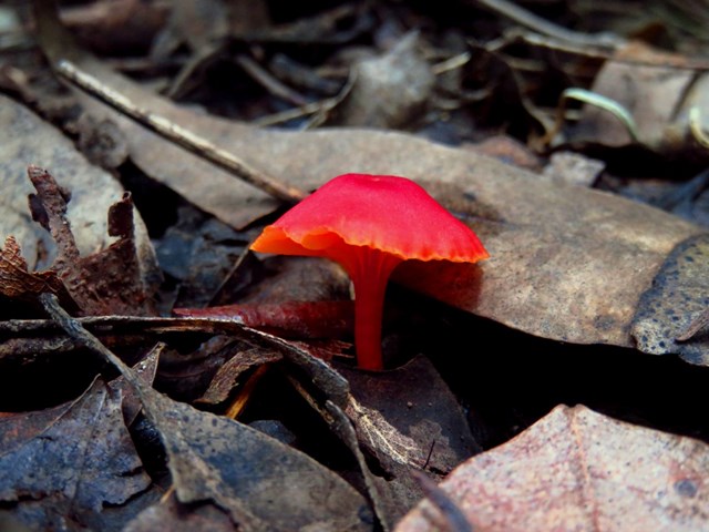
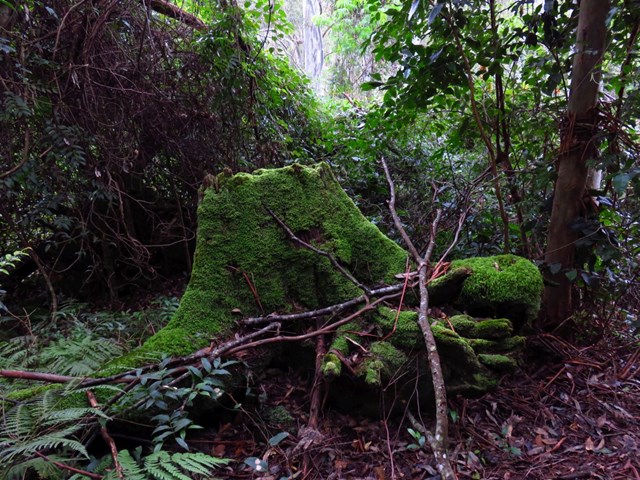
This varied walk travels north through the Watagans. Leaving the Basin campsite behind, the walk traverses the Wollombi Brook via the Lyrebird trail. The Wollombi Brook Pool is a great spot to stop (and take a swim) on a hot day. From the pool, the walk climbs into the Warrawolong Flora Reserve using a combination of bush tracks and dirt roads. Along the way, a side trip to Mt Warrawolong offers views on the way to the highest point in the area. This walk finishes by descending into the beautiful Watagan Valley.
 8
km
return
3
hrs
8
km
return
3
hrs
Baltzer Lookout (Hanging Rock)
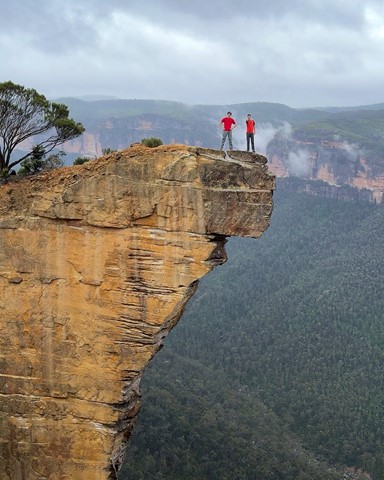
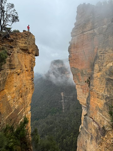
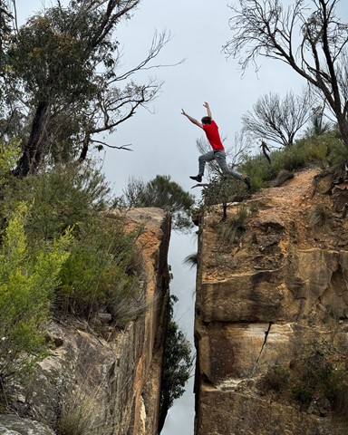
This walk to Baltzer Lookout along Burramoko Ridge rewards you with excellent scenery and a view over the stunning Hanging Rock (aka the Finger). The track is mainly management trail, and would be great on a mountain bike (to the end of the management trail). The large cliff edges are unfenced and quite exposed, so do take care. Although short and relatively unchanging in scenery, the walk to Baltzer Lookout is well worth it.

 22
km
return
6
hrs
22
km
return
6
hrs
Kiama Coast Walk
Starting at the mouth of Minnamurra river following the spectacular coast south to Gerringong.
2.7
km
return
1
hr
Lawson Lookout from Fairy Dell Reserve
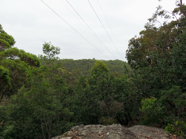
This walk is a great way to go to Lawson Lookout, especially if you are coming from Fairy Dell Reserve picnic area. With Springwood just out of ear shot, the walk meanders down the Magdala Gully, then leads up to Lawson Lookout for a great view across the valley.

 10.5
km
return
4.5
hrs
10.5
km
return
4.5
hrs
Sassafras Gully Loop
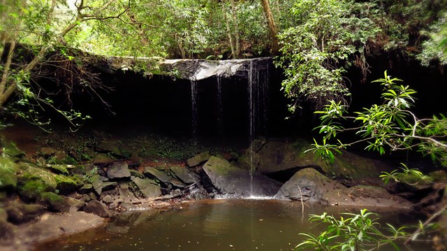
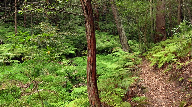
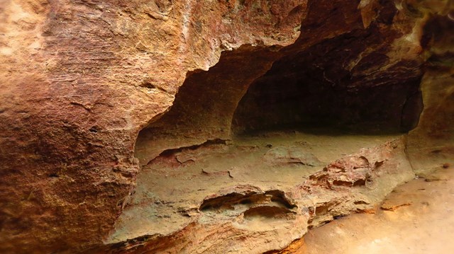
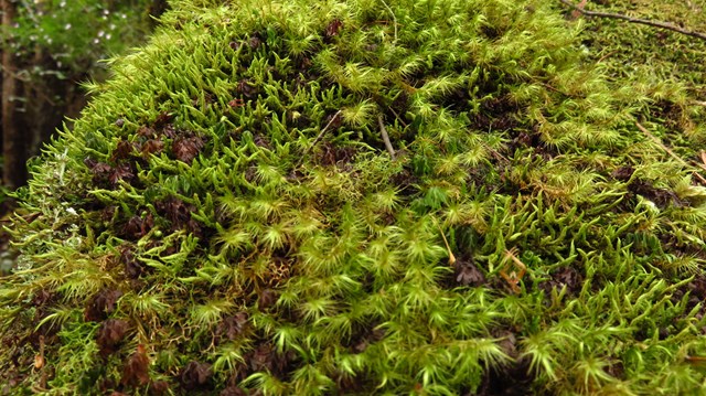
The Sassafras Gully loop is an excellent walk setting out from Springwood Station. The walk uses the gullies to navigate past some wonderful rock features, dense bushland and waterfalls. A nice cool walk in the shade and never too far from water.

 15.4
km
one-way
4
hrs
15.4
km
one-way
4
hrs
Mt Glorious to Dundas Road
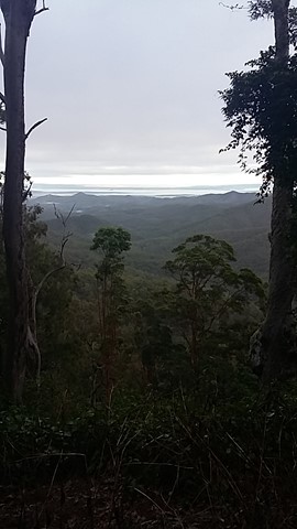
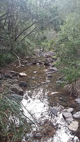
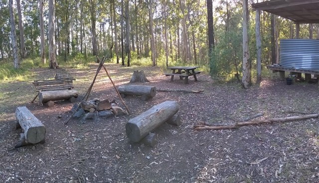
This is a fantastic walk which is actually the first leg of the annual Oxfam Walk. You do need two cars for this walk - park one car at Mt Nebo Road transfer station, Dundas Road and another at Miala picnic Grounds, Mt Glorious. We started from Miala and enjoyed spectacular views out towards Lockyear Valley before we gently wound our way down to the bottom of the valley. Make sure you enjoy a rest at the creek because ahead of you is a VERY steep walk out of the valley. This is the steepest hill I have ever walked and the trail was very slippery - it was actually easier to walk beside the trail, then we could use the trees to hold onto! The hill goes on FOREVER, but when you eventually reach the top you will have a real sense of achievement - and more sensational views! More detailed information about this walk can b e found here: https://trailwalker.oxfam.org.au/wp-content/uploads/2014/12/BNE_map1.pdf
 3.5
km
return
3
hrs
3.5
km
return
3
hrs
Bird Gully Swamp
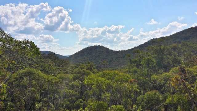
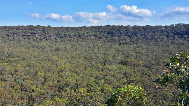
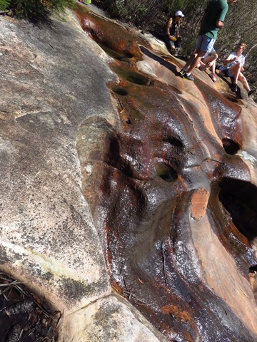
The track skirts the edge of a hanging swamp, still clearly defined after fire by the different plant communities. Acknowledge the traditional inhabitants of the land as you relax beside grinding grooves on the top of a picturesque waterfall with views of the gully. See the remains of the sand mining quarry which provided materials for the old Pacific Highway. Note due to the fragility on the area this walk is only available as a guided tour.


 500
m
return
30
mins
500
m
return
30
mins
JD Tipper Loop
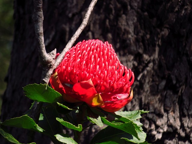
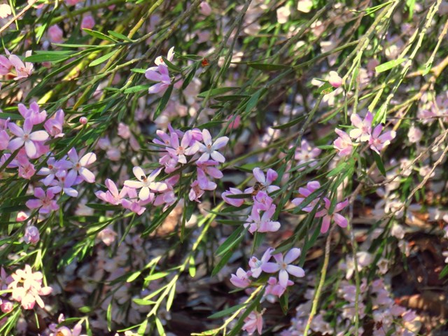
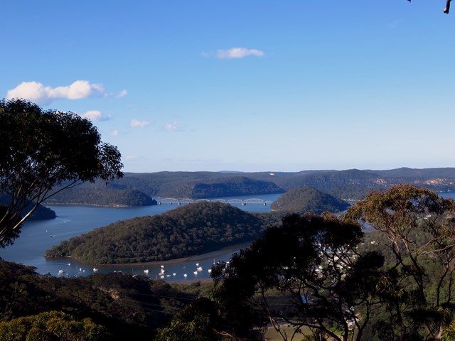
An easy walk to the lookout named after the founder of Muogamarra Nature Reserve with views over Brooklyn.
 14
km
one-way
4
hrs
14
km
one-way
4
hrs
Rails to Trails Cowaramup to Margaret River
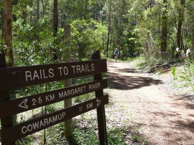
The trail was once a part of the old railway network that was built during the timber boom. The trail begins or ends (depending where you start) at Cowaramup and finishes at Margaret River. Approximately 13.5km of trail has been developed as a multi-use trail for walking, cycling and horse riding. The trail is wide enough for two horses to walk comfortably side by side. The trail follows the alignment of the Discontinued Busselton-Flinders Bay Railway line Along the 5 kilometres north of Margaret River there are numerous bridges crossing a major river and creeks and streams of varying sizes. The trail is easy to navigate with picnic areas along the way. The spectacular birdlife includes yellow robins, parrots and blue wrens and the wildflowers are stunning in Spring (September to December). As it was a railway, the gradient is relatively flat, and the terrain is generally gentle.
 16
km
return
5
hrs
16
km
return
5
hrs
Greenbushes Loop
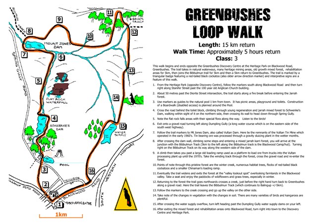
Located 2.5 hours south of Perth on the South West Highway, the Greenbushes Loop is a rewarding 16km trail (4-6 hours approx) that is worth checking out on your next trip to the area. Setting off from the Greenbushes Discovery Centre in the heart of town, the trail visits several historic town sites such as Schwenke's Dam, remnant of the old Vultan Tin Mine and Mt Jones Dam. Included on the loop is a section of the world famous Bibbulmun Track that takes in the beautiful forest and sweeping views of the Blackwood farming valley. After leaving the Bibbulmun Track, the trail makes its way back to the town of Greenbushes where you can reward yourself with a tasty treat from the cake shop or a well earned drink from one of the two pubs in town. This trail won’t disappoint and is well worth the detour if you are planning a holiday in the South West.

 2
km
return
1
hr
2
km
return
1
hr
Point Loop
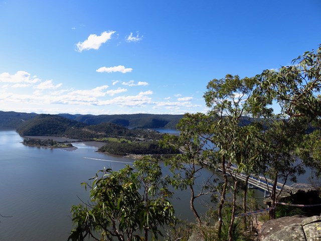
A short walk past a variety of plants to a rocky platform with views over Peats Crater and the Hawkesbury River
 6
km
return
2.5
hrs
6
km
return
2.5
hrs
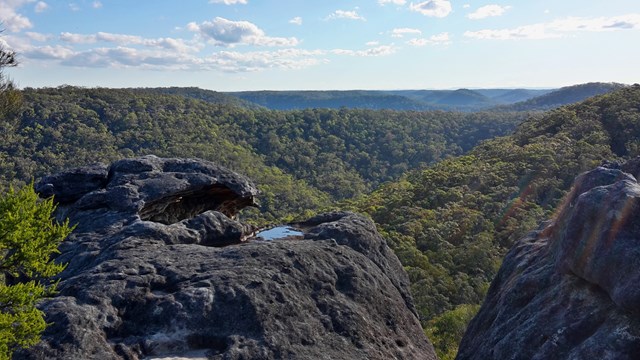
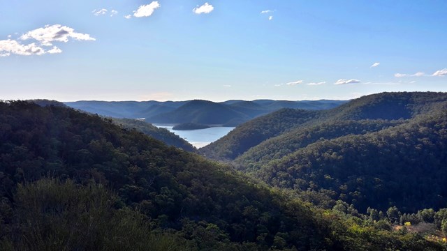
Deerubbin Lookover
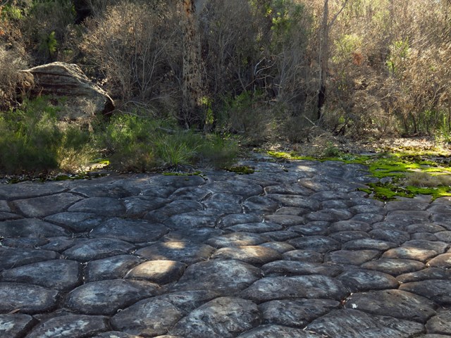
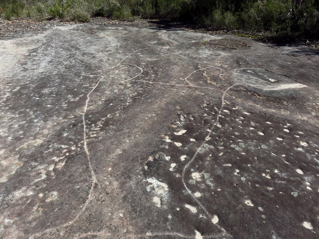
The walk follows an historic road past rock formations to a rocky platform above the Hawkesbury River, with outstanding views.
 8
km
one-way
3.25
hrs
8
km
one-way
3.25
hrs
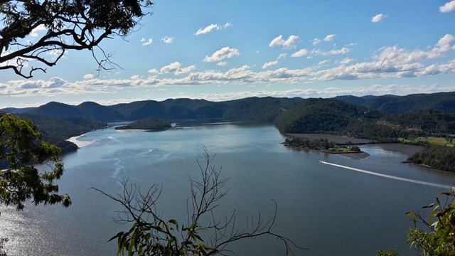
Charlestown to Merewether (GNW)
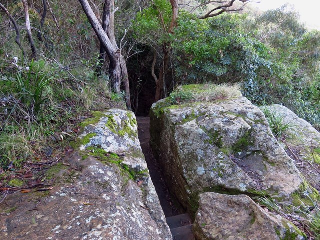
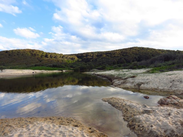
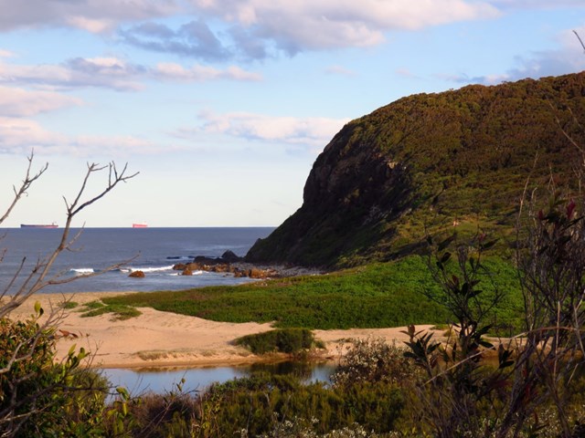
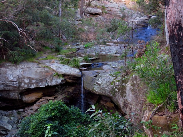
Starting from a small park in Charlestown you will follow the Great North Walk through a few reserves and along a Burwood Beach, past the heads to Merewether Beach. Exploring bush around Glenrock lagoon on the Yuelarbah Track, including the Leichhardt’s Lookout are highlights. From this lookout the track leads down past the edge of the lagoon then along the sandy beach, past Merewether ocean pools. This walk describes a side trip to the scout campsite beside the lagoon for those who have organised to camp there.

 4
km
one-way
90
mins
4
km
one-way
90
mins
Lockyers Road Walking Track
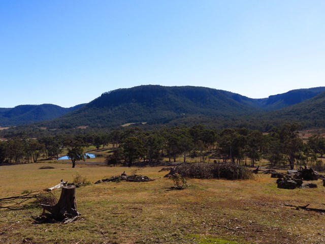
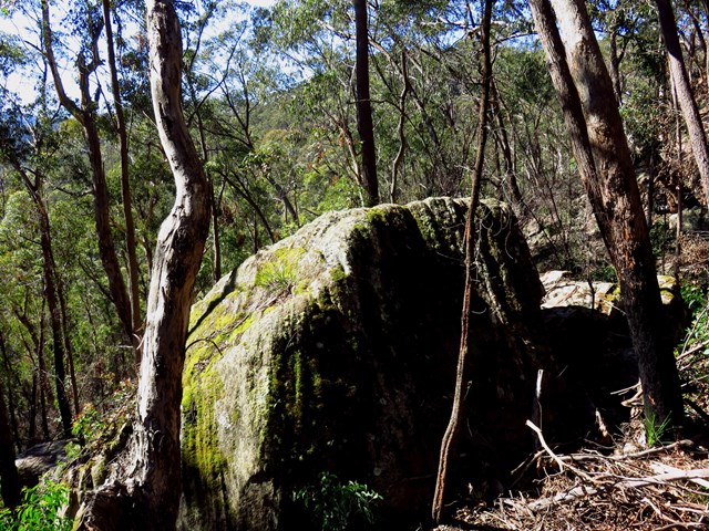
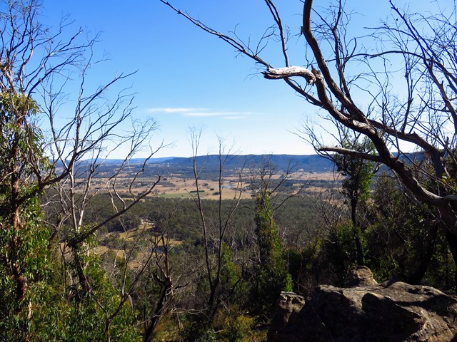
Excellent quality singletrack following out along a ridgeline on an original hand carved convict labour track that was one of the first attempts at crossing the Blue Mountains.
 15
km
return
4
hrs
15
km
return
4
hrs
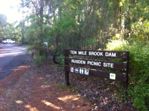
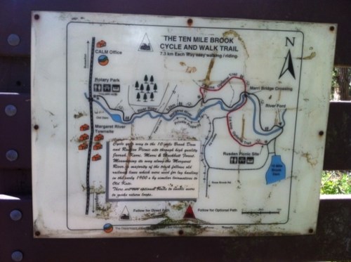
10 Mile Brook Trail
10 Mile Brook Trail is a pleasant walk or cycle out to 10 Mile Brook Dam, named after the tiny brook that was dammed in the mid-1990s to create a new supply of water for the quickly growing Margaret River and other townships.