
Menu
Suggested searches
Your search found 510 results...

 5
km
return
5
km
return
 90
mins
90
mins
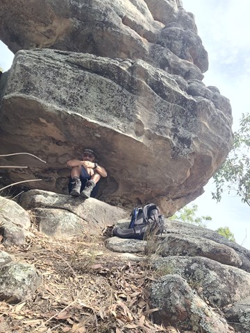
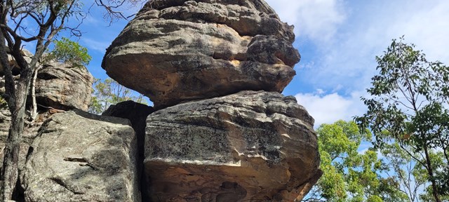
Balancing Rock (Ben Nevis Park trailhead)
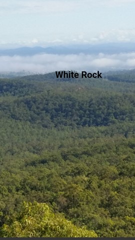
White Rock - Spring Mountain Conservation Estate
Discover this 5.0-km out-and-back trail near Spring Mountain, Queensland. Generally considered a moderately challenging route, it takes an average of 1 h 29 min to complete. This is a popular trail for hiking, running, and walking, but you can still enjoy some solitude during quieter times of day.
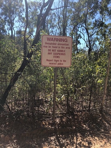
ATTENTION; As of August 2024, there is no trail signage that takes you to "Balancing Rock". Do your homework!
8
km
return
3
hrs
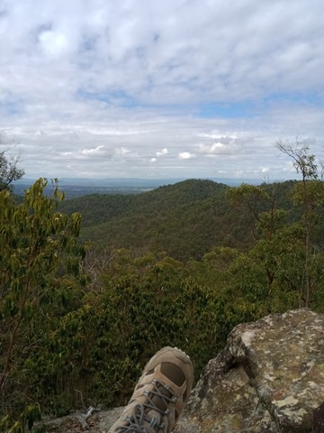
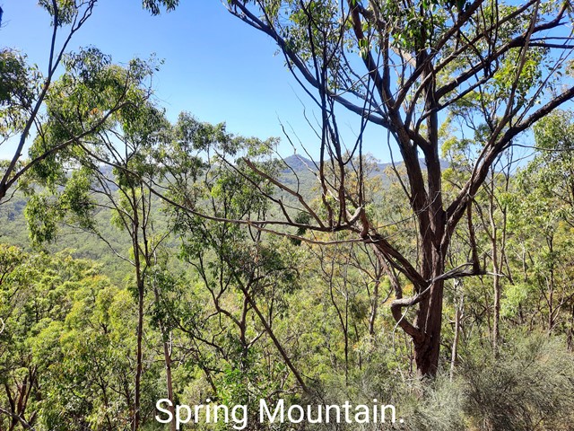
Spring Mountain via Dragon Spine (Ben Nevis Park trailhead)
Queensland
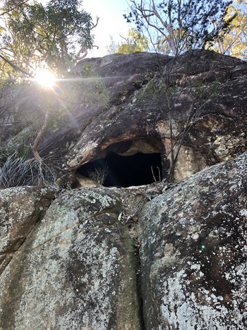
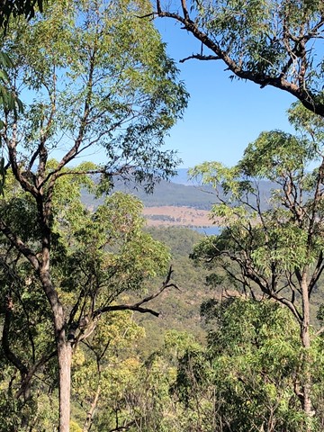
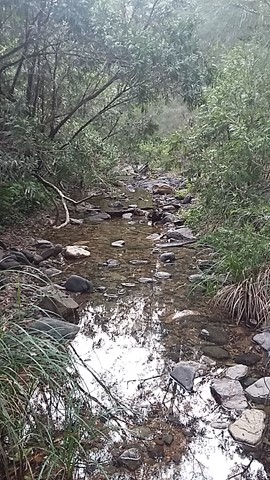
From the Ben Nevis Park head through gate and up to top of first small hill then turn right onto the yaddadum trail for a few hundred metres before taking faint single track on the left marked by an ant mound. Follow trail up the ridge past balancing rock and eventually come to a steep rocky section with small scramble . From here it’s a few hundred meters to the fire rd at the base of Spring mtn. Turn left here then after a few hundred metres you Will come to a worn single track that leads to the spring mtn Sumit. Great views from the top and check out the small cave on way up. Around 8km return
 4.8
km
return
50
mins
4.8
km
return
50
mins
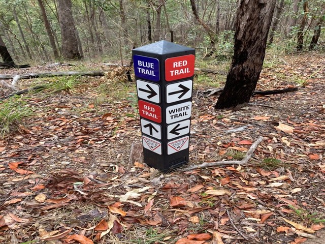
Postmans Track
South East Queensland
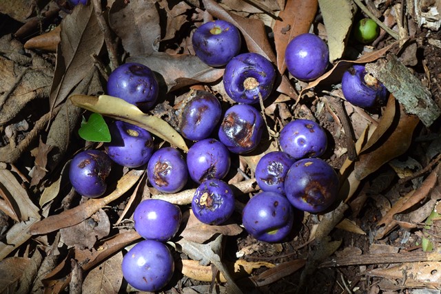
Nice bushland walk around 4.8km for the loop. Well signed and easy to follow with plenty of birds, wallabies and the odd snake. The track is split into two marked trails Blue (the easier section) and Red (more hills), with a White trail shortcut joining the two.
 11
km
return
4
hrs
11
km
return
4
hrs
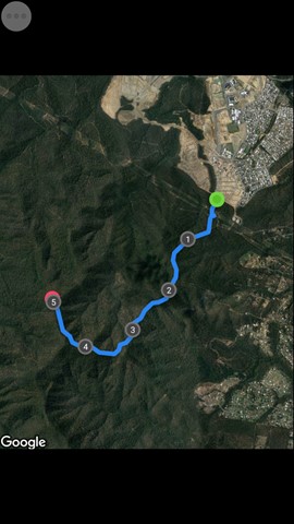
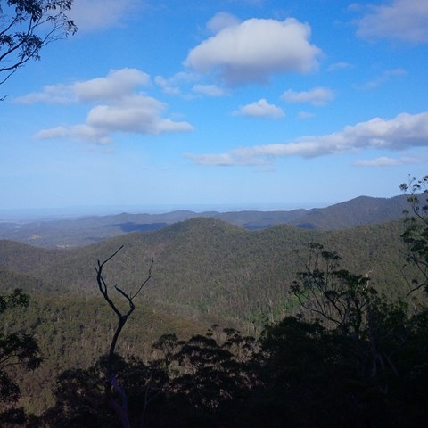
Spring Mountain (Angelica Ave trailhead)
White Rock - Spring Mountain Conservation Estate
Spring mountain from Angelica St, Springfield Lakes.
 10.6
km
return
3
hrs
10.6
km
return
3
hrs
Pyros Loop
White Rock - Spring Mountain Conservation Estate
This is another walk in the White Rock Conservation park which has quite a few ups and downs, so does get the heart pumping. It also has quite a few good views to Spring Mountain, White Rock and Flinders Peak at various stages of the walk.
 19.07
km
one-way
4
hrs
19.07
km
one-way
4
hrs
Paper Back Flats Picnic Area to Spring Mountain
White Rock - Spring Mountain Conservation Estate
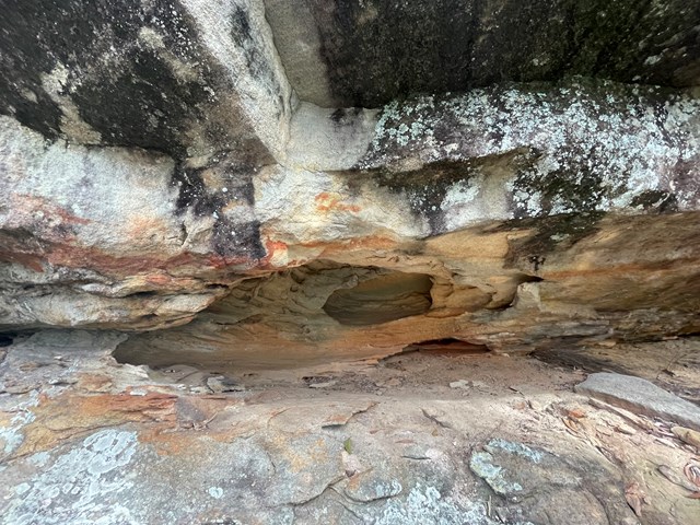
A varied terrain walk. Sandy in parts, then really rocky in some. The first part of the walk I followed mainly the Spring Mountain fire trail which was mostly flat. When I got to Back Alley trail it started inclining for about 2kms till I got to the Spring Mountain. I climbed as far as the first cave I came across then didn’t climb the rest... although it looked doable, I was by myself and didn’t want to push my luck. It was about 10km on the way up. Return trip I went down the Daisy trail which seemed to be an old mountain bike trail. It descends quickly and is rocky, eroded in parts and hard to walk on and requires a lot of scrambling and concentration. I then got to Narelle’s Climb, this terrain has been gravelled at some stage. I also saw a red belly black snake!! I decided to bypass White Rock as I’d seen it enough times and head back to where I started. Was about 9km on the way back. If I do it again I will do it in reverse and go via White Rock.
 15.4
km
one-way
4
hrs
15.4
km
one-way
4
hrs
Mt Glorious to Dundas Road
Brisbane Forest park D'Aguilar National Park
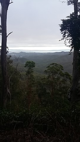
This is a fantastic walk which is actually the first leg of the annual Oxfam Walk. You do need two cars for this walk - park one car at Mt Nebo Road transfer station, Dundas Road and another at Miala picnic Grounds, Mt Glorious. We started from Miala and enjoyed spectacular views out towards Lockyear Valley before we gently wound our way down to the bottom of the valley. Make sure you enjoy a rest at the creek because ahead of you is a VERY steep walk out of the valley. This is the steepest hill I have ever walked and the trail was very slippery - it was actually easier to walk beside the trail, then we could use the trees to hold onto! The hill goes on FOREVER, but when you eventually reach the top you will have a real sense of achievement - and more sensational views!
More detailed information about this walk can b e found here: https://trailwalker.oxfam.org.au/wp-content/uploads/2014/12/BNE_map1.pdf
 6
km
return
2.5
hrs
6
km
return
2.5
hrs
Westside Track
D'Aguilar National Park
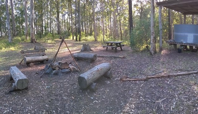
On the opposite side of the Maiala Picnic Area there is a small clearing. Some BBQ tables and chairs are there as well as a fire ring. At the entrance to the walking track there's an information board. Full great info and history.
 1
km
return
30
mins
1
km
return
30
mins
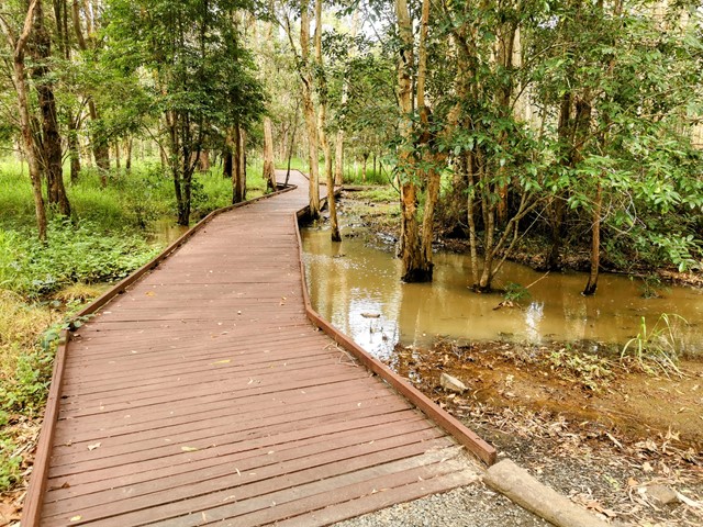
Six Mile Creek Boardwalk
White Rock - Spring Mountain Conservation Estate
Wander along the boardwalk in the cool shade of the Blue Gum forest. Keep an eye out for a koala resting in a large gum, scratches and droppings at the base of the tree will point you in the right direction. Access can be had to Bluff Lookout from the boardwalk
 200
m
one-way
15
mins
200
m
one-way
15
mins
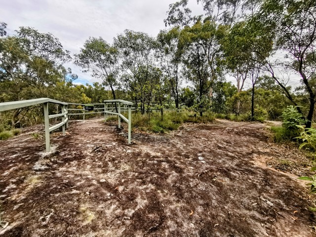
Little White Rock Lookout Circuit
White Rock - Spring Mountain Conservation Estate
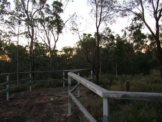
Take a detour from the Little White Rock Track along a moderate level track for a view over the forest at the lookout.