
Menu
Suggested searches
Your search found 510 results...

 800
m
800
m
 1
hr
1
hr
Atrax Circuit
D'Aguilar National Park
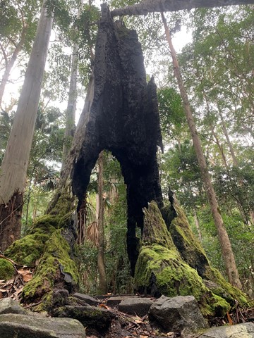
Take a short walk through a wet eucalypt forest. Look closely at the forest floor and notice the ferns, mosses and fungi that thrive in the moist environment. Glimpse inside the trunk of a brush box Lophostemon confertus, a former giant of this species-rich ecosystem.
 5
km
return
90
mins
5
km
return
90
mins
Cornubia Forest Park - Birdwing - Stupidty Happy - Birdwing
Brisbane City Council Local Walks
This walk is shared with the brave bike riders. The first half was winding down to the valleys bottom then winding back up to the top.
6
km
return
2
hrs
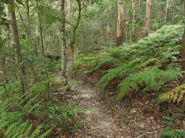
Ironbark Track
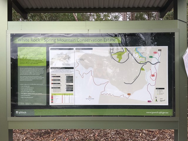
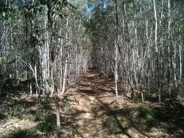
White Rock - Spring Mountain Conservation Estate
Ironbark Track is an old lumber road turned into a hiking track. It cuts behind Springfield Lakes to the edge of Spring Mountain Forest park.
 2.5
km
return
30
mins
2.5
km
return
30
mins
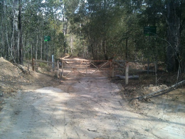
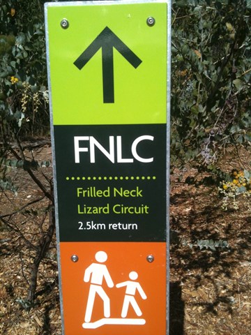
Frilled Neck Lizard Circuit
White Rock - Spring Mountain Conservation Estate
Frilled Neck Lizard Circuit is located just north of the Spring Mountain Forest Park. It is a mild to moderate 2.5 km return circuit that links up with the Ironbark Track. The map for this track is annexed as White Rock - Spring Mtn Conservation Estate.
 4
km
return
1
hr
4
km
return
1
hr
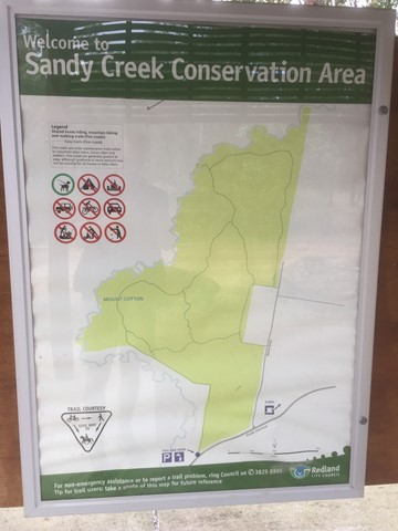
Sandy Creek Conservation Area (Redland Bay)
Brisbane City Council Local Walks
Management trail through eucalypt bush.
 5.3
km
one-way
90
mins
5.3
km
one-way
90
mins
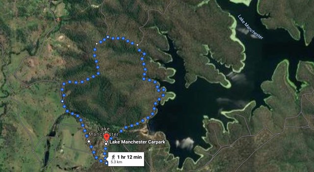
Lake Manchester Short Loop
Brisbane Forest park D'Aguilar National Park
A shorter way to see some of Lake Manchester without having to double back.
 3
km
1
hr
3
km
1
hr
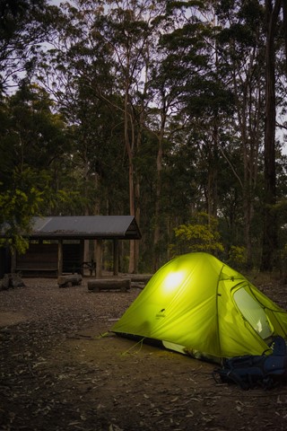
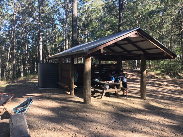
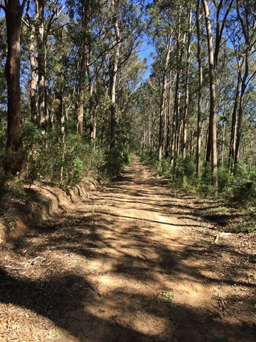
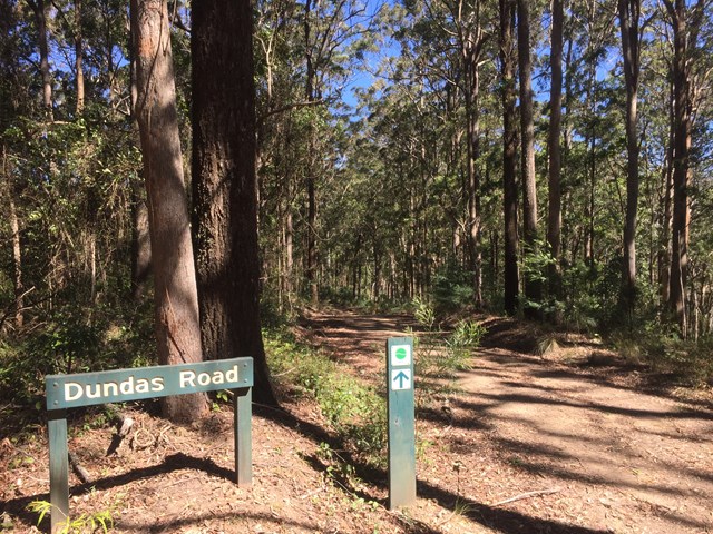
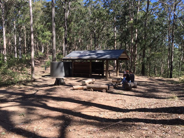
Dundas Road bush camp walk
D'Aguilar National Park
Dundas Road bush camp.Remote bush camping in open eucalypt forest. Enjoy picturesque wet eucalypt forest on your walk to the campsite. This campsite is the most accessible remote campsite in the park and suits overnight campers with some walking experience and fitness.
This is a great place to base yourself to go exploring other areas.
 10.4
km
return
2.12
hrs
10.4
km
return
2.12
hrs
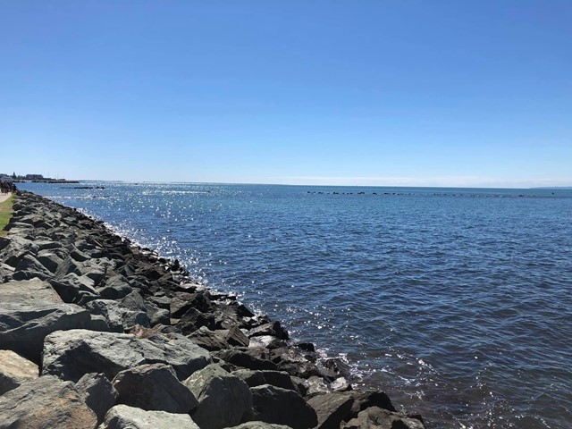
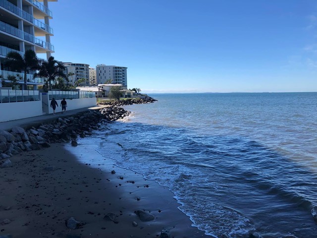
Redcliffe to Scarborough Cycleway
South East Queensland
Start at the Redcliffe Jetty and head along the foreshore towards Scarborough. The Moreton Bay Cycleway is clearly marked along the pathway. The pathway ends where Landsborough Ave meets Fortune St. Turn right in to Fortune St and pick the pathway back up at the end of the Fortune Street at Tingira Park. Follow the track past the Newport Cruising Yacht Club on your left and then loop around the point to begin the return leg back to Redcliffe.
 2
km
return
90
mins
2
km
return
90
mins
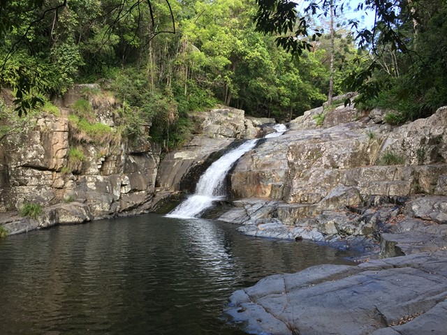
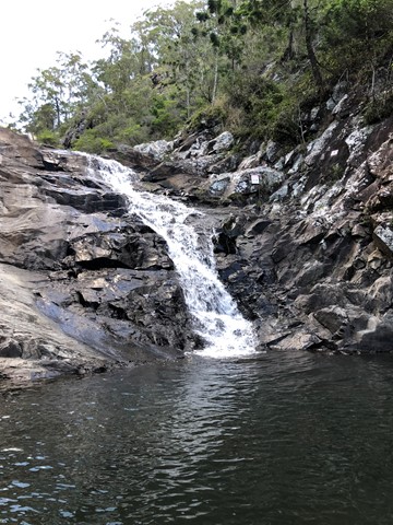
Cedar Creek Falls
South East Queensland
Not to be confused with Cedar Creek at Mount Tambourine, this spot is located approximately 20 minutes from the village of Samford on Brisbane’s north side.
To access Cedar Creek, begin at Samford and drive north along Mount Samson Road, then turn left into Cedar Creek Road.
This is a great place to take a dip and cool off in summer or soak up the sun on a large rock in winter. Kids will also be kept busy with exploring the local surrounds.
There are no established bushwalking paths in the area, so best to stay near the creek.
 200
m
return
10
mins
200
m
return
10
mins
Westridge Outlook
D'Aguilar National Park
An elevated board walk with views to the West.