
Menu
Suggested searches
Your search found 2418 results...

 1
km
return
1
km
return
 15
mins
15
mins
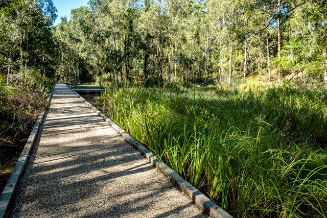
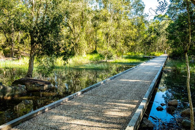
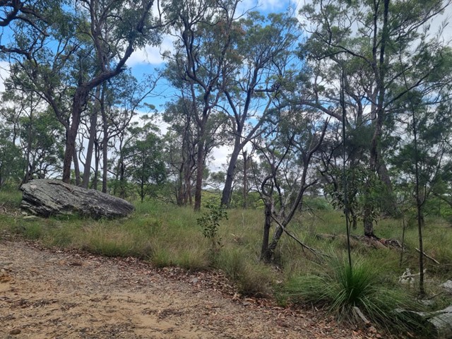
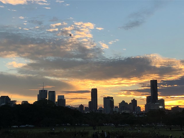
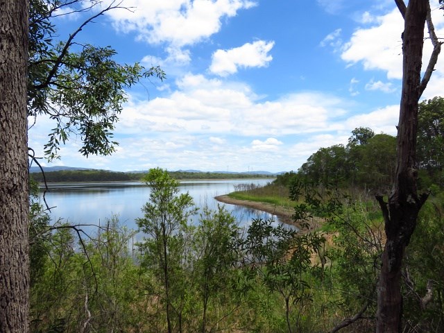
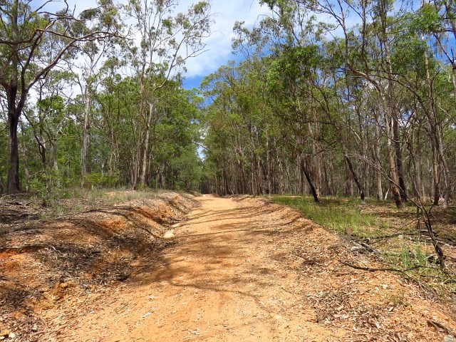
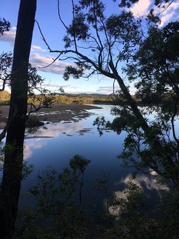
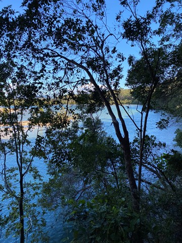
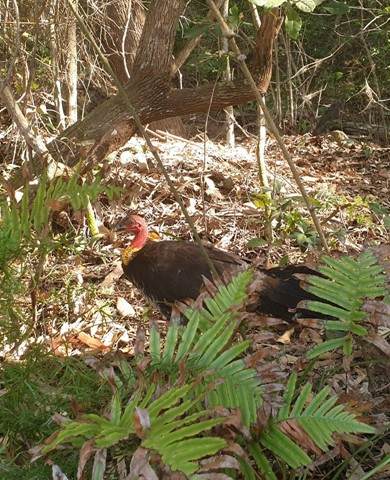
Forest Lakeside Ewen Maddock Dam
Sunshine Coast
Peaceful, flat and easy walk on smooth track through forest used by the occasional mountain biker and galloping dog. After about 5 minutes you reach the lake. Beautiful view
 1.2
km
return
30
mins
1.2
km
return
30
mins
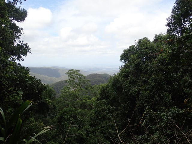
Western Window Track
D'Aguilar National Park
This track starts from the top of Maiala day-use area (the south side of Mount Glorious Road) and runs along the escarpment to the Western Window—an expansive undulating view to the west. Visit the window at sunset for an awe-inspiring day’s end.
 85
km
one-way
7
days
85
km
one-way
7
days
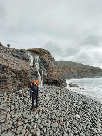
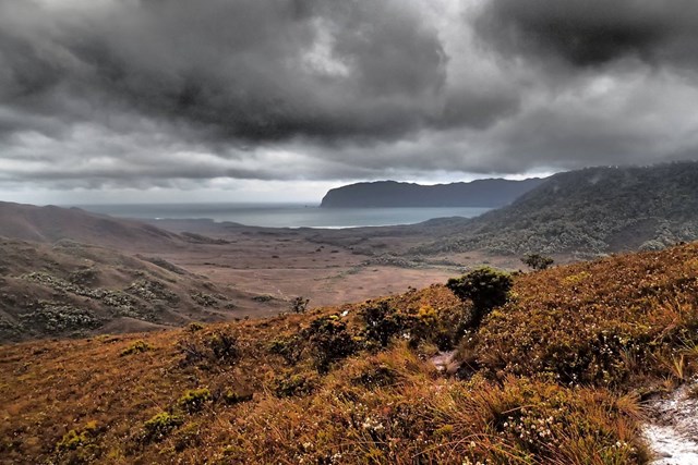
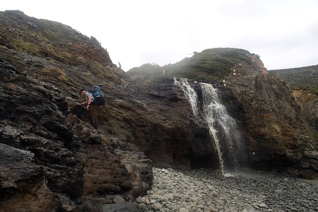
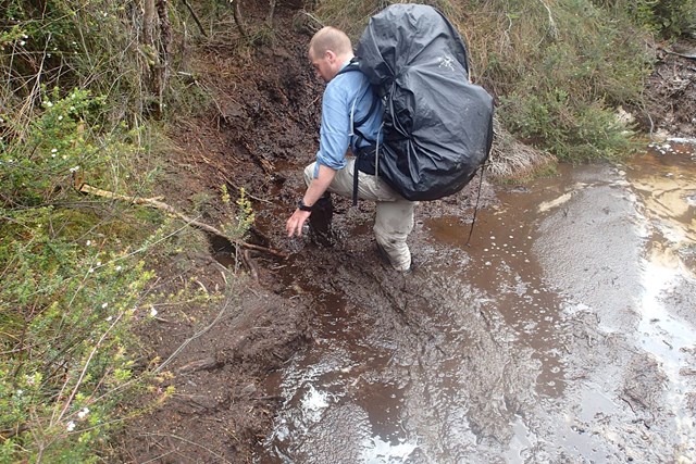
South Coast Track
Southwest National Park
The 85km South Coast Track runs between Melaleuca and Cockle Creek. There are no roads to Melaleuca, so walkers must either fly, sail or walk in and out.
Most people take about 6 to 8 days to complete the South Coast Track, depending upon time spent enjoying the beaches. Walkers should note that the track surface may be rough and muddy over extended sections.
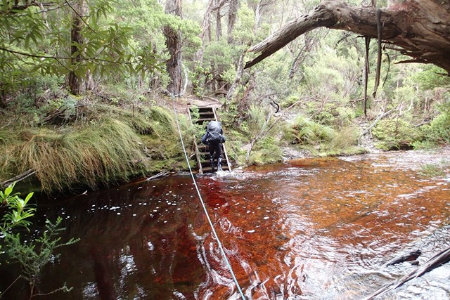
Boat Crossings
There is a water crossing that requires walkers to use small boats at New River Lagoon. Extreme caution is needed when making crossings, particularly in windy weather. You should carry a couple of days extra food to allow for delays.
Track conditions
When crossing the Ironbound Range, note in one day the track goes from sea level to 1000 m above sea level, and back down again. It’s a very full day. Start from the campsite right at the base of the Ironbounds. The South Cape Range is half as high as the Ironbound Range, but equally difficult. It's a rough and muddy track. Start from the nearest campsite and expect a full day. Note that there's no creeks for most of the Ironbound Range and the South Cape Range.
There is no reliable fresh water at the campsite at New River Lagoon crossing. Most other creeks marked on the map are big enough to be flowing even in the driest time of summer.
If you want to visit Osmiridium Beach, be aware that the turnoff is not obvious and many people walk past it. Look for a little path meeting the track.
At South Cape Bay, there’s no track down to South East Cape (the southernmost point of the continent.) There’s no point leaving the South Coast Track to reach it as it’s an impassable coastline. When walking along narrow or rocky beaches at high tide, beware of large wave swells.
 3.4
km
return
45
mins
3.4
km
return
45
mins
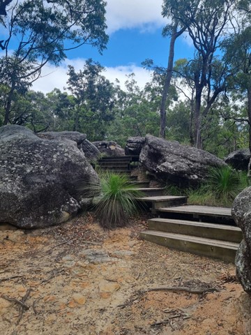
Rocks Circuit
Karawatha Forest
A good circuit walk. Great view over the bushland. Includes stairs.
 4.15
km
return
1
hr
4.15
km
return
1
hr
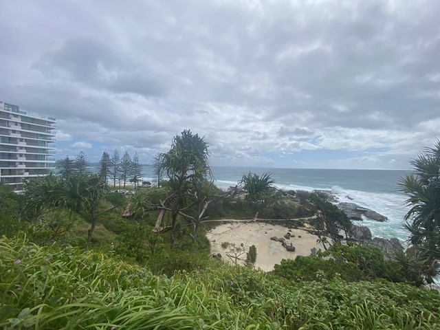
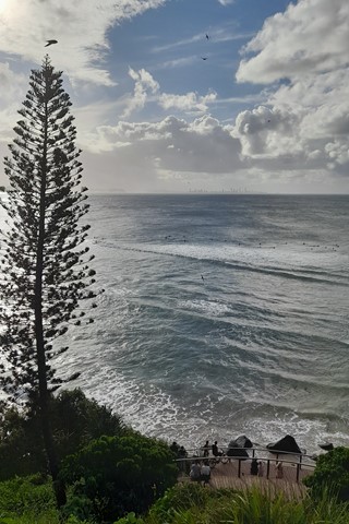
Boat Harbour, Point Danger and North Tweed Circuit
Gold Coast
This return walk travels through the Rainbow Bay, Point Danger, the QLD/NSW border and Duranbah Beach (North Tweed). The entire circuit is paved.
 8
km
return
90
mins
8
km
return
90
mins
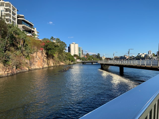
Brisbane River Walk
Brisbane City Council Local Walks
This is my taken pathway: Fortitude Valley, New Farm, Riverwalk, Kangaroo Point on a sunny hot day! It took me 1.5h equivalent to 10k & 11,000 steps
 8
km
return
110
mins
8
km
return
110
mins
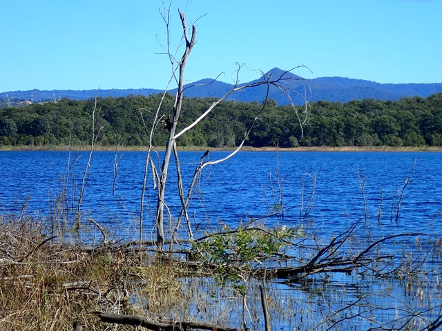
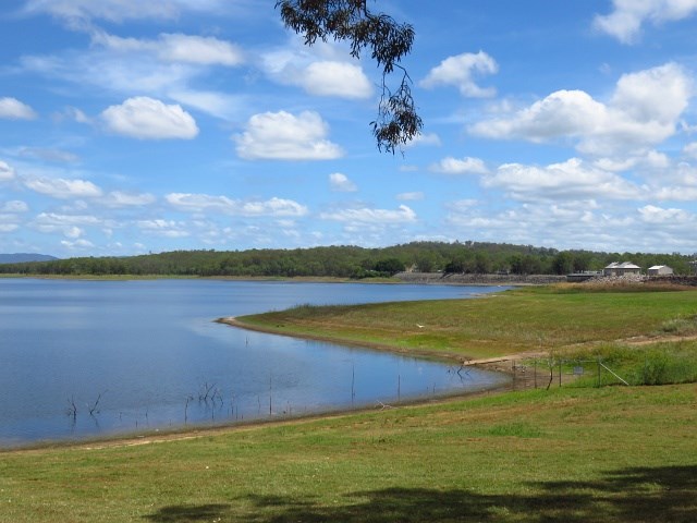
Bullocky Rest to Forgan Cove Loop
South East Queensland
Bullocky Rest is a peninsular stretching out into lake Samsonvale. Being surrounded by water on three sides and with plenty of shade trees.
Start at either Bullocky Rest or Forgan Cove (the new watercraft launch area).
 8
km
return
2
hrs
8
km
return
2
hrs
Tallebudgera Creek Circuit
Gold Coast
This is a pristine waterway, one of the ‘must do walking tracks’ on the Gold Coast
 10
km
return
3
hrs
10
km
return
3
hrs
Mount Superbus
Main Range National Park
It may not provide any views from the summit, but at 1,375m above sea level Mount Superbus is the highest mountain in southern Queensland. By virtue of that fact, it's a must for any local peakbaggers.
 5.8
km
return
90
mins
5.8
km
return
90
mins
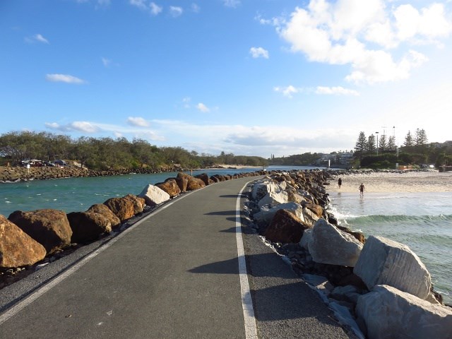
Cudgen Creek Estuary
New South Wales
This short walk will take you to Cudgen Headland and South Kingscliff, this goes along beaches and Cudgen Creek.