
Cudgen Creek Estuary
New South Wales


Menu
GPS Tracks

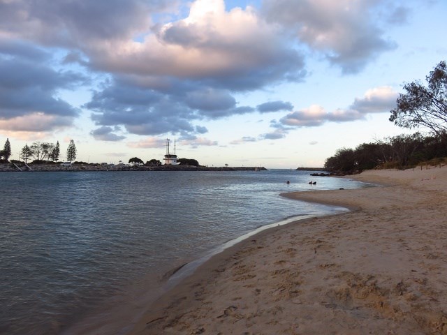


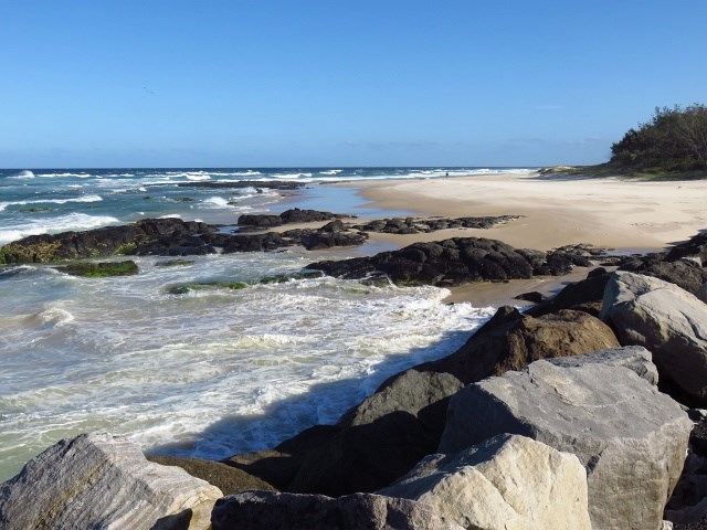
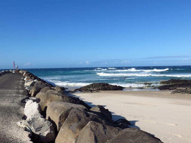
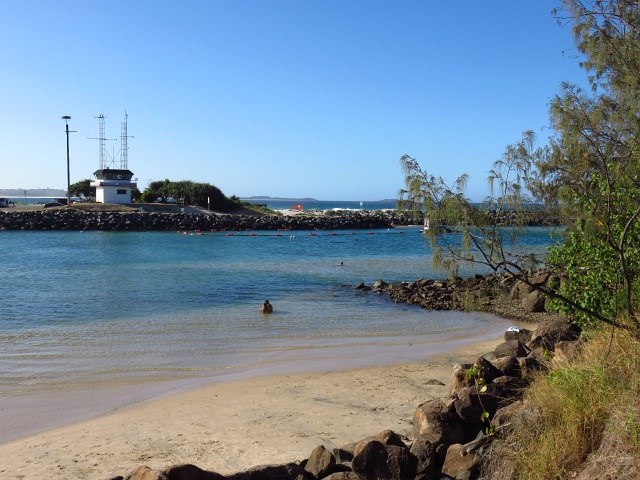
This short walk will take you to Cudgen Headland and South Kingscliff, this goes along beaches and Cudgen Creek.
Swimming
Picnic Facilities
BBQ
Toilets
Dogs Permitted
Coastal
37m
Maximum Elevation
263m
Total Climb

Getting there
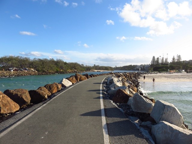
Start at either end, Kingscliff Surf Life Saving Club or Cudgen Headland.
Maps
Which maps cover the area?
Route/Trail notes
Starting from Surf Life Saving Club: head south along Marine Parade, through Ed Parker Rotary Park. Cross Cudgen Bridge and turn left towards Cudgen Headland. Return either by heading south following the coastline or, at low tide, walk back along the beach. For further guidance see attached GPS file.
Permits/Costs
Nil
Other References
http://www.tweed.nsw.gov.au/HealthyAgeingWalks
(this site states the walk is 1hr return, this is not true)
 Cudgen Creek Estuary (GPX)
 5.8
5.8 90
90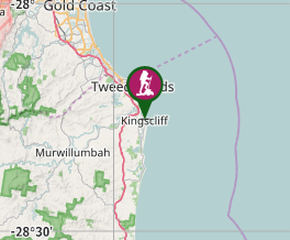
Comments