
Menu
Suggested searches
Your search found 2418 results...

 1.5
km
one-way
1.5
km
one-way
 40
mins
40
mins
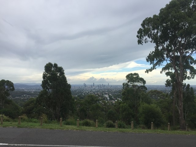
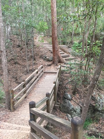
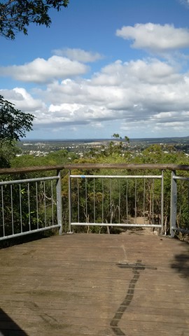
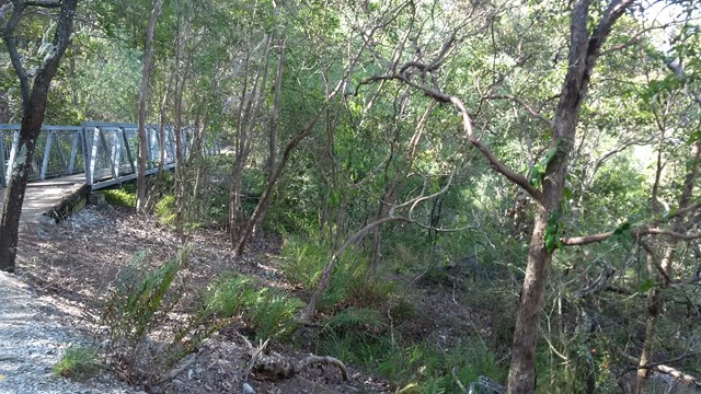
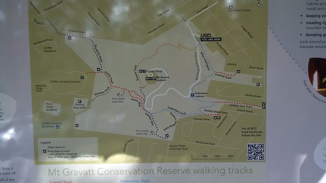
The Federation Track
Brisbane City Council Local Walks
This track from the base of Mt Gravatt follows a track up the mountain, passing a lookout over the east. The path is quite rough in places with lots of loose rocks, though there are also steps and bridges. To reach the summit you need to turn left onto the Azania Way track at the end, and follow this for another .4km. You can then return back to where you started by following the summit track (1.2km)
 3.5
km
return
3
hrs
3.5
km
return
3
hrs
Bird Gully Swamp
New South Wales
The track skirts the edge of a hanging swamp, still clearly defined after fire by the different plant communities. Acknowledge the traditional inhabitants of the land as you relax beside grinding grooves on the top of a picturesque waterfall with views of the gully. See the remains of the sand mining quarry which provided materials for the old Pacific Highway.
Note due to the fragility on the area this walk is only available as a guided tour.
 24.5
km
one-way
6
hrs
24.5
km
one-way
6
hrs
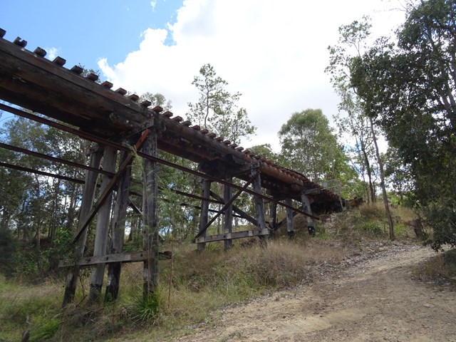
Coominya to Esk - Part of BVRT
Brisbane Valley Rail Trail
This walk is part of the Brisbane Valley Rail Trail, starts and finishes at the railway station. Coominya and Esk are small towns but have all services. Several large and impressive rail bridges along the track but not accessible, a lower river crossing. The walk passes through farm lands but mainly bush walking so plenty of gates to open and shut but not a walk to complete in Summer months. The trail is well marked so maps are not required. Coominya is accessible after a turnoff on the Brisbane Valley Highway. Public amenities and car parking at both ends of the walk but no public amenities on the track. No permits or costs for the walk.
 7
km
one-way
2
hrs
7
km
one-way
2
hrs
Bray to Greystones Coast Walk
Ireland
This coastal walk is situated in County Wicklow, Ireland. Abundance numbers of birdlife and plant/flowers. Coastal views are spectacular. An easy walk but some climbing, the Dart train is available at the end of the walk for return. No permits or maps required.
3.2
km
return
2
hrs
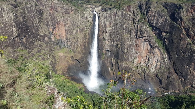
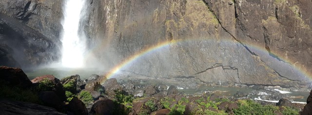
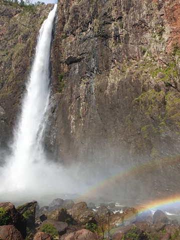
Djyinda Walk
North Queensland
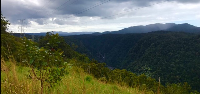
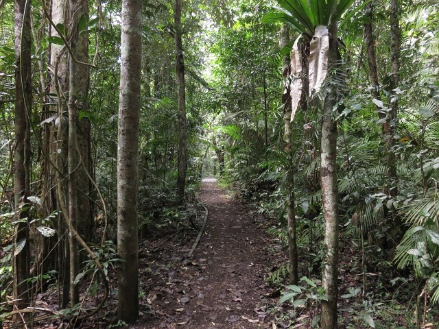
Walk to the base of Wallaman Falls, the highest permanent single drop waterfall in Australia at 268 meters. It’s not so much the distance that makes this trail a challenge, but rather the 228 metre descent (and more importantly, ascent back to the top!). But it’s worth every step. The track wanders through open forest, along the escarpment overlooking the Herbert River Valley, into the gorge and through thick rainforest. Take care and go slow - not just because the trail warrants it, but because there are few times in your life when you’ll get to experience untouched nature like this all to yourself.
 5.1
km
return
105
mins
5.1
km
return
105
mins
Hell Hole Falls
Mt Jerusalem National Park
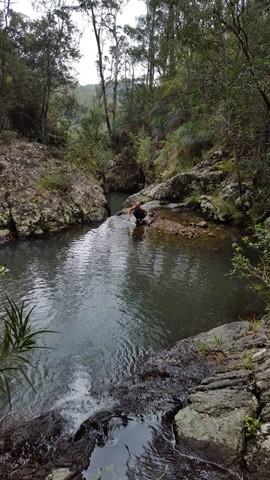
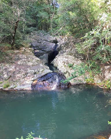
This is a well kept secret, that not even many of the locals know about! A strange name for such a beautiful place; it is a series of deep rock pools linked by small waterfalls before the creek plunges over the cliff into the Tweed Valley.
This rock formation is not part of Mt Warning's eruptions, but dates back before that time to the Chillingham volcanics.
A place for a cooling swim, picnic and to enjoy the tranquillity of the surroundings. It is rumoured that the waters of the rock pools contain a natural hair conditioner that lasts for weeks.
 9.4
km
return
4
hrs
9.4
km
return
4
hrs
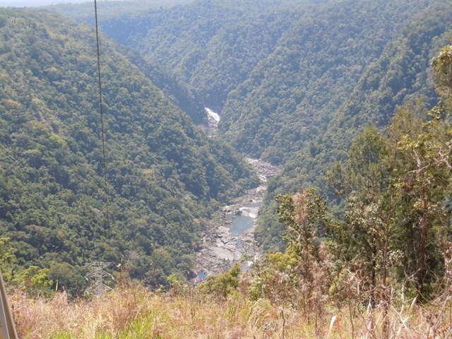
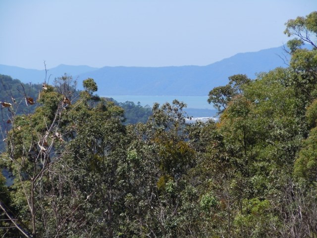
McDonalds Track
Barron Gorge National Park
This historic track links Wright's Lookout to the Douglas Track, taking you from Kuranda down the Barron River Gorge. It provides views of the gorge from the southern side, seldom seen by the visitor unless they take the train down.
 4.8
km
return
105
mins
4.8
km
return
105
mins
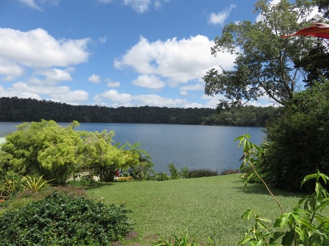
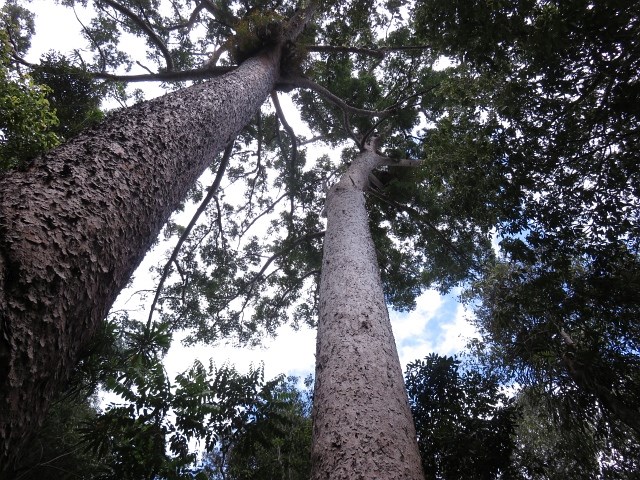
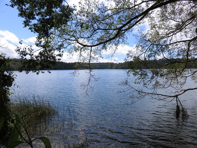
Lake Barrine
Crater Lakes National Park
This picturesque freshwater lake has a walking track all the way around, together with Tea House and the opportunity of a Cruise on the waters. This is a water filled crater that was created some 10,000 years ago as a result of a volcanic eruption.
 15.25
km
return
5.5
hrs
15.25
km
return
5.5
hrs
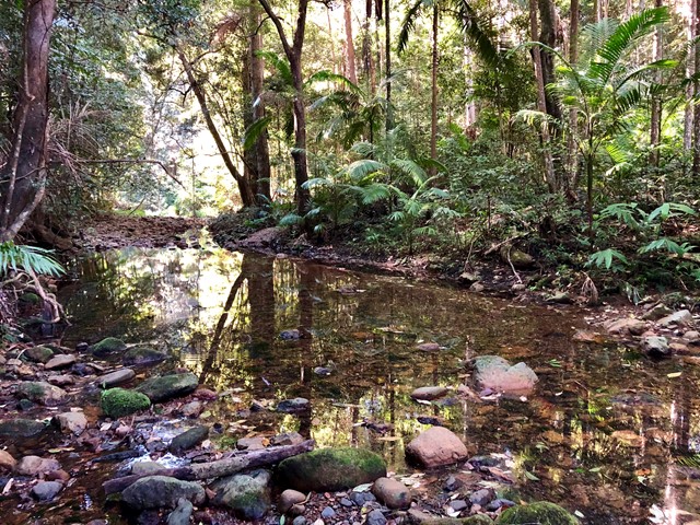
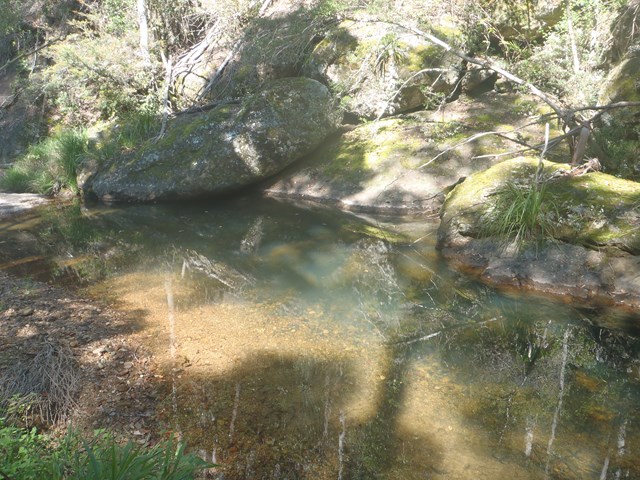
Byron Creek Circuit
D'Aguilar National Park
Walk in undulating country with some steep hills to Byron Creek with its crystal clear waters, waterholes as well as mountain top views from the ridges.
 8.2
km
one-way
3.5
hrs
8.2
km
one-way
3.5
hrs
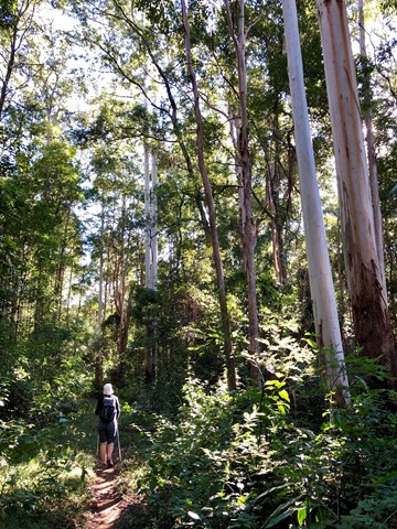
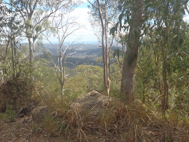
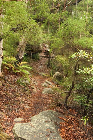
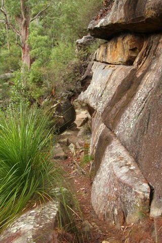
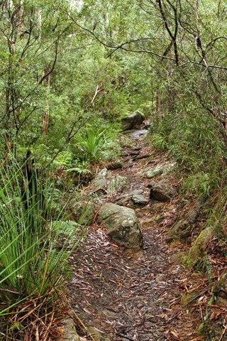
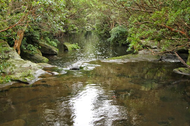
Hornsby to Galston Gorge (GNW)
New South Wales
Starting at Hornsby station, you soon head into the bush and down the steep depression era stone steps through the volcanic Old Mans Valley, to a picnic area at the end of Rosemead Rd. Here you follow the Blue Gum walk through one of Sydney's rare Blue Gum Forest stands to then cross Berowra Creek a few times at Fishponds waterhole. After exploring the edge of the valley you will cross the Steele Military Bridge before climbing to Tunks Ridge rest area. Not far from here the walk starts to lead steeply down enjoying more sandstone caves to cross under Galston Road to find the Galston trackhead.