
Menu
Suggested searches
Your search found 2421 results...

 1.3
km
one-way
1.3
km
one-way
 20
mins
20
mins
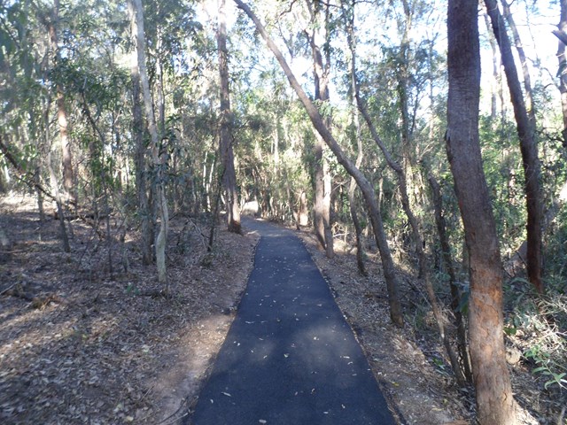
Pomax Track
Brisbane City Council Local Walks
This track passes through heathland where you can see spectacular plants including pomax, banksia, native irises and keraudrenia. It is named after the locally rare heathland plant pomax.
Grade: difficult, steep hills
Suited to: bushwalking, birdwatching, flora walks
Habitat: heathland
Must: look for wildflowers in September
 770
m
15
mins
770
m
15
mins
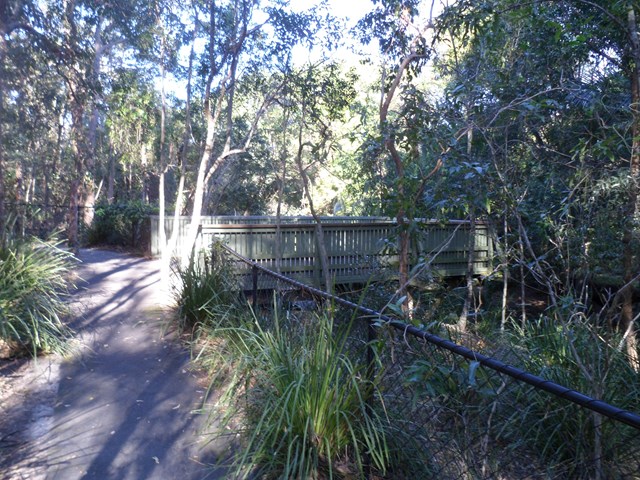
Creek Track
Brisbane City Council Local Walks
This track leads you to a creek platform that overlooks Downfall Creek. You are likely to see waterhousia and lomandra. Common crow butterflies feed on monkey vine and red ash.
Picnic area available at entrance
Grade: easy
Suited to: bushwalking
Habitat: dry riparian vine forest
Must: spend time at the creek platform listening for birds and watching the creek life
 24
km
return
6
hrs
24
km
return
6
hrs
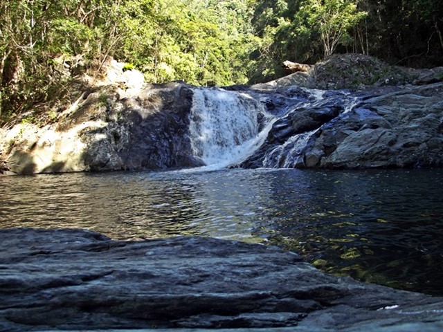
Booloumba Creek to Wongai Walkers Camp
Conondale National Park
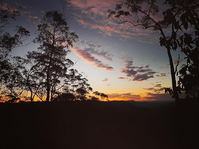
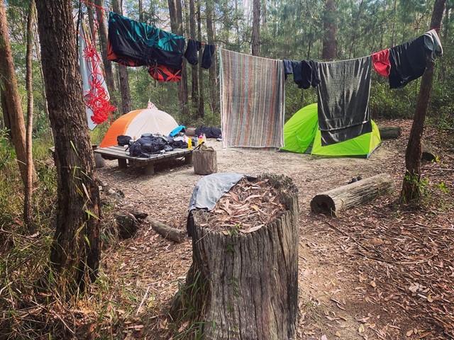
This can be done in 1 day if fit and keen enough or make it a 2 dayer as part of the Conondale Great Walk. . Great weekender hike if you like to camp too. Starting from the Booloumba Creek day use area hike up past the Artist Cascades then onto Booloumba Falls following to the Wongai walkers camp. Maps state that its 11km, but the GPS marked it out at 12.1km. Returning back the way you came. And best of all its most down hill for the return trip.
 2
km
return
45
mins
2
km
return
45
mins
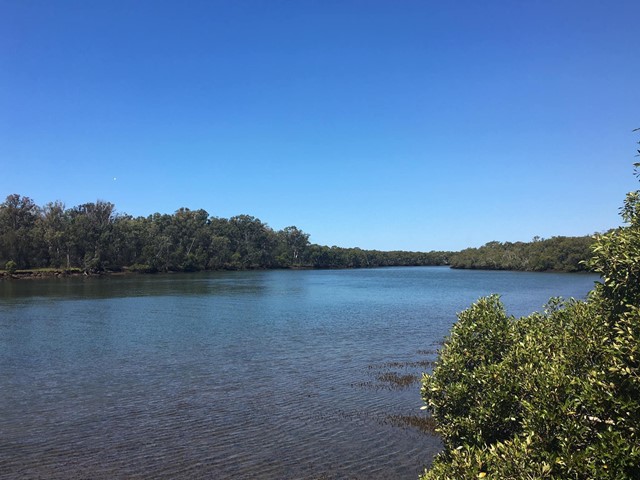
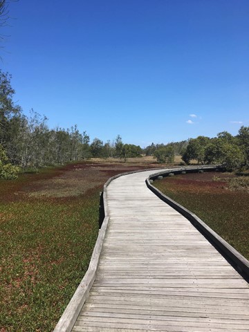
Billai Dhagun Circuit
Brisbane City Council Local Walks
Billai Dhagun Circuit is part of the Boondall Wetlands, and after rain this walk can get quite wet. It is still quite an easy walk though. The name means 'Place of She-oaks', and you will see plenty of these here. There is a bird hide along the walk so that you can watch the water birds at the opening to Nundah Creek.
 30
km
12
hrs
30
km
12
hrs
Battleship Spur
Carnarvon National Park
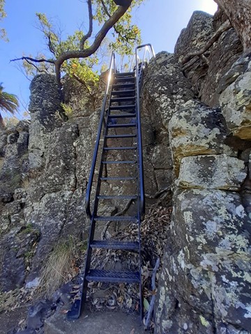
Battleship Spur (Carnarvon National Park). Start at the Ranger Hut and walk up the gorge until you reach Boowinda Gorge. Walk up Boowinda Gorge and ascend gap in wall. Walk another 4km to the spur ascending 4 false summits and ridges. Take care on rock scree about halfway up to summit. Plenty of steps and markers to guide the way. Hard day walk recommended only for great walk months of the year. Take plenty of water. Possible Telstra 4G phone reception above scree and at summit depending on phone etc.
 15
km
4
hrs
15
km
4
hrs
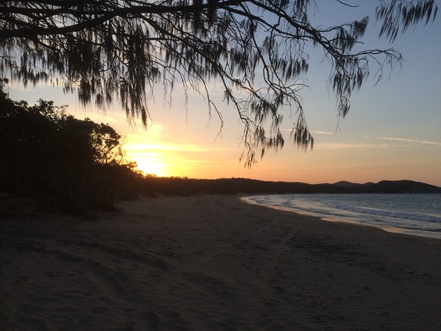
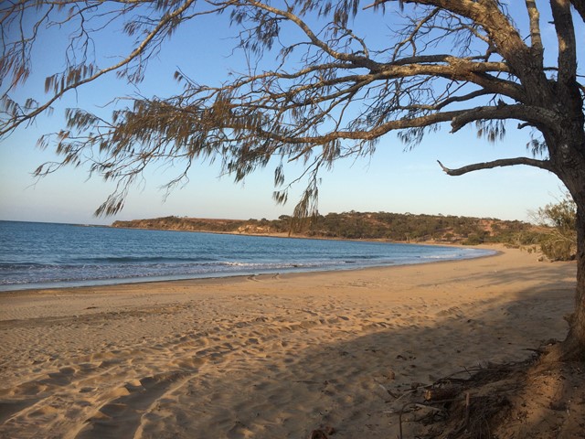
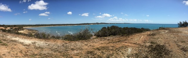
Curtis Island
Central Queensland
This walk takes you along the eastern coastline of Curtis Island, starting from South End. There are two established camp sites along the eastern coast (Turtle St - about 15km, and Joey Lees - about 29km), and another at the northern end (Yellow Patch). This is a fairly exposed walk, along the beach in some areas and along the top of the headland in others. It would be much too hot in summer. The views are pretty spectacular the whole way and it is not busy at all - we walked on a long weekend and met one group of 4WD'ers, and no other walkers. There are no facilities along the way- you will need to bring all of your own water.
 6
km
3
hrs
6
km
3
hrs
Mount Whitfield Conservation Park
Far North Queensland
Mount Whitfield Conservation Park Red and Blue Circuits including Summits of Mount Whitfield and Lumley Hill.
 2.5
km
return
1
hr
2.5
km
return
1
hr
Amamoor Creek Hiking Trail
Amamoor State Forest
This walk starts across the road from the main stage at the top of the hill at the Muster site and winds up hill through thick bush allowing no views. Crossing a couple of dry creeks, even though there has been rain here, until it hits a forestry road and follows it up another hill, before you start the down hill run. A lot of Bunya Pine and little else, with the track is well defined.
 58
km
4
days
58
km
4
days
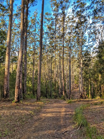
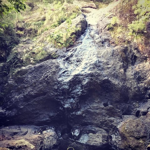
Sunshine Coast Hinterland Great Walk
Kondalilla National Park
Warm subtropical rainforest, tall open eucalypt forest and picturesque waterfalls in secluded areas of the Blackall Range feature on this 58 km four day walk, with bush campsites. Day visitors can access short half-day and full-day walks within the Great Walk route.
 14
km
4
hrs
14
km
4
hrs
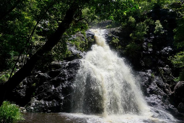
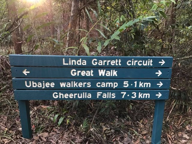
M4 parking/Ubajee walkers camp/Gheerulla falls loop
Mapleton National Park
This is pleasant walk which is part of the Sunshine Coast Great walk. To get there turn down Delicia road and proceed to the M4 parking area. From there take the Great walk trail that leads to the Ubajee Walkers camp. From the camp follow the trail down to the Gheerulla falls and then from there its simply a matter of following the track back up to Delicia road (appr 2 km) and back to the carpark via the dirt road.