
Menu
Suggested searches
Your search found 2421 results...

 4
km
return
4
km
return
 90
mins
90
mins
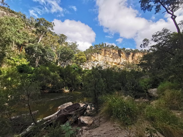
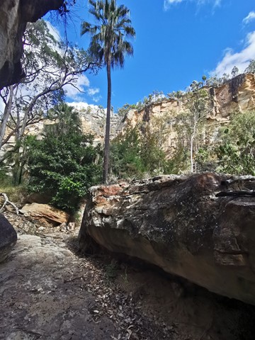
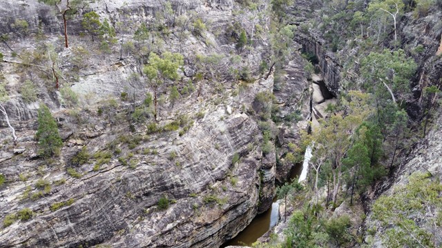
Robinson Gorge Access
Expedition National Park
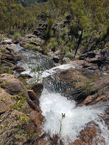
This walk turns off just before the gorge lookout and takes you down to the floor of the gorge. This part of the walk is very steep but some helpful person has chiselled a few small steps into the rocks to make the descent easier. Once at the bottom you can spend as long as you like hiking in either direction up and the gorge.
 800
m
30
mins
800
m
30
mins
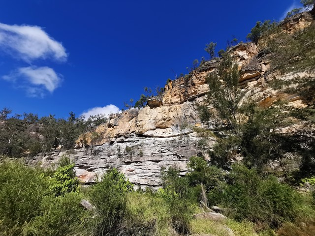
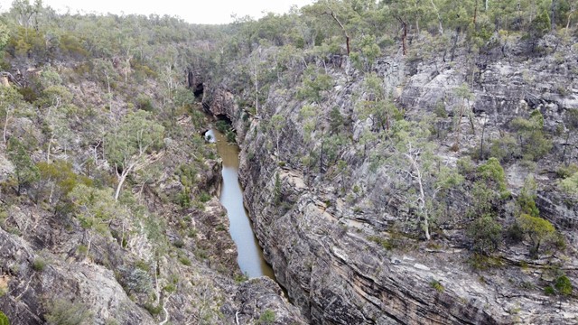
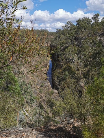
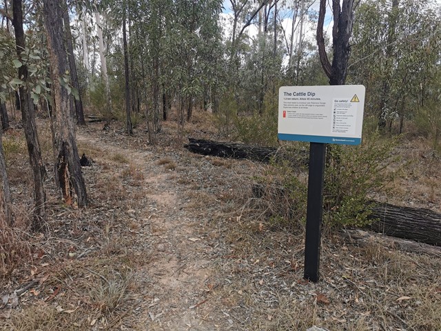
Cattle Dip Track
Expedition National Park
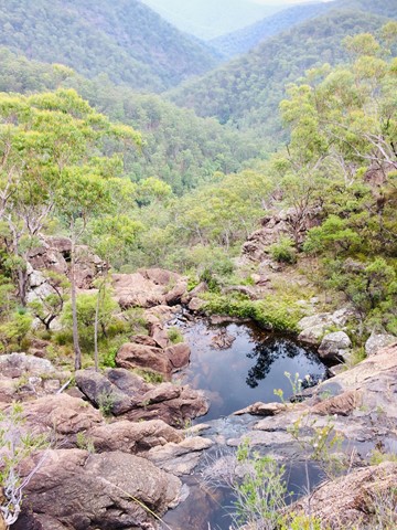
An easy walk through open woodland to look out over the "cattle dip" - a spectacular permanent, aptly named water hole in Robinson Gorge. No access from the lookout to the water hole without climbing gear.
 3.6
km
2
hrs
3.6
km
2
hrs
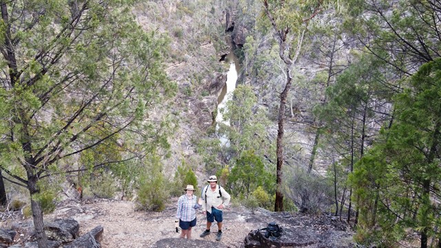
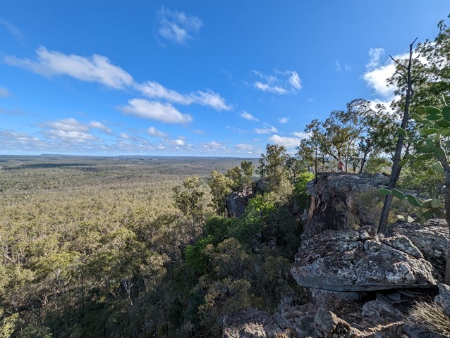
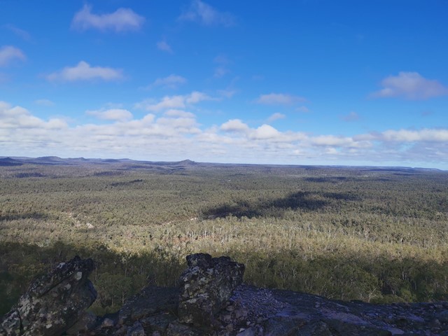
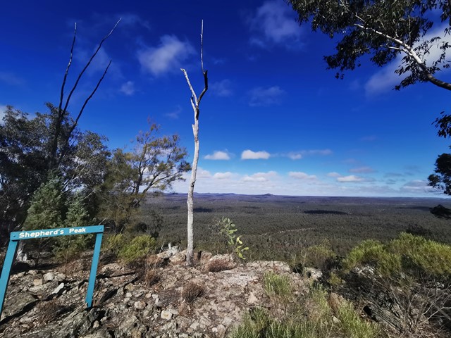
Shepherds Peak
Expedition National Park
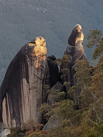
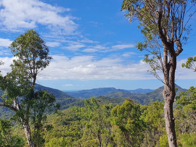
This walk begins at Starkvale camping area and goes through open woodland with a well-defined trail. The first part of the walk is easy with a slight incline which changes once you get to the start of the climb up Shepherds Peak. Parts of this climb are very steep although there are some steps on the steeper parts but a fair level of fitness is required to get to the top. Care should be taken once at the top as the edges of the cliffs are unfenced. But the panoramic view of the gorge is breathtaking, especially early in the morning.
 45
km
return
4.5
days
45
km
return
4.5
days
World Heritage Walk
Gibraltar Range National Park
The heritage loop walk can be joined and exited at numerous points along its length. A range of flora from sub alpine to temperate rainforest and heath. Wildflowers displays are prolific. Reptiles are numerous. Many granite outcrops to explore with the Haystack and Dandahra Crags being two of the best. The distance stated does not include side trips. Plenty of creeks and swimming holes.
 1.8
km
one-way
75
mins
1.8
km
one-way
75
mins
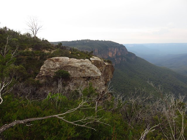
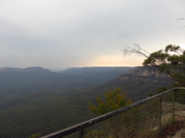
Leura Cascades to Gordon Falls
Blue Mountains National Park
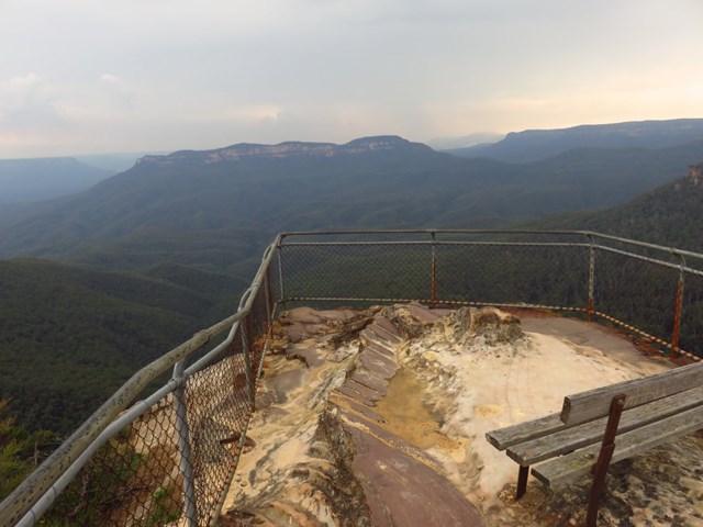
Varied between rocky climbs and patches of rainforest. An easy day walk from Leura Cascades that finishes at Gordon Falls Reserve (barbie and picnic facilities available at both ends). Lovely views of the Jamison Valley throughout.
 4
km
return
2.5
hrs
4
km
return
2.5
hrs
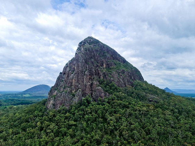
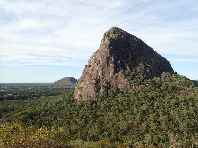
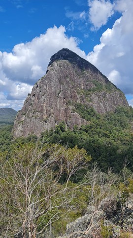
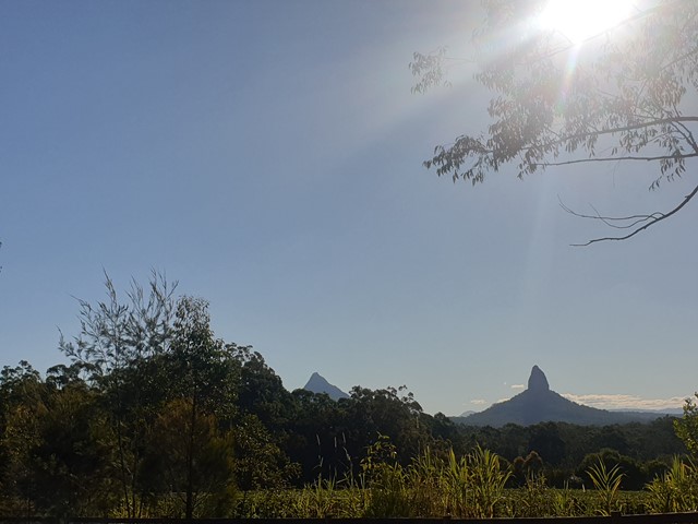
Mount Cooee
Glass House Mountains National Park
At just 167m, this is probably the least climbed and one of the least known mountains in the area, especially as it is overshadowed by Mount Tibrogargan immediately to the west.
 15
km
one-way
5
hrs
15
km
one-way
5
hrs
Zamia Walk
Central Queensland
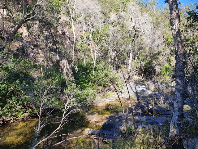
Start walk from German Street car park which is unsigned. The trail begins from the carpark heading east behind the houses with creek on right-hand side. At end of housing estate is a creek crossing and sign for the park. Walk another 1-2 km until you reach another park sign and a metal post indicating the start of the walk. The path is well defined throughout although overgrown in parts. For the next 6km the path will hug the side of Moores Creek with multiple creek crossings. Take care not to lose the path when crossing the creek in the upper reaches. There is also a nice forest to walk through before the main ascent starts which has a lot vegetation when climbing the side of the mountain. Once you lose the main branch of the creek (about 7-8km) the trail will begin to ascend the mountain and cross some smaller branches of the creek with small waterfalls. The trail will then reach a ridge and subsequent lookout point with grass trees all around and view of the Beserker Ranges. The ascent is then quite easy from this point on with plenty of opportunities to take a break with rest chairs available. The walk can be frustrating at time as it follows the creek right around the base of mountain before it commences an ascent. It also has multiple minor ascent and decents on the base of the mountain which hug the creek. You think you are going to ascend only to find another creek crossing. The creek is usually flowing and very clear giving you the opportunity to fill your water bottle up at refresh at various stages before the full ascent commences. The trail is also very rocky in parts when following the creek so a high degree of care must be taken not to roll an ankle. This a challenging and sometimes demanding hike so leave plenty of time to complete. Their are plenty of signs to help you find the way from the middle section of the hike onwards which help hikes descending. Take plenty of water for this hike as it is a very humid climate. Parks recommend this climb as descent only. It is also deemed a one-way trail.
 2
km
30
mins
2
km
30
mins
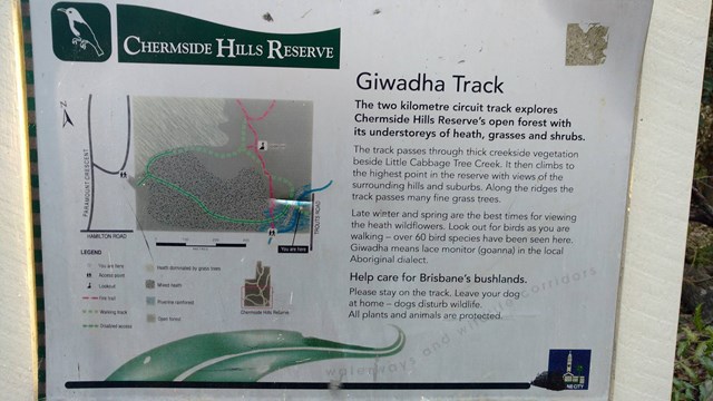
Giwadha Track (Chermside Hills Reserve)
Brisbane City Council Local Walks
This circuit track explores the Chermside Hills Reserves' open forest with its understorey of heath, grasses and shrubs. The track passes through thick vegetation beside Little Cabbage Tree Creek and climbs to the highest point in the reserve (Spider Hill) with views of the surrounding hills and suburbs.
Grade: medium, steep hills
Suited to: bushwalking, birdwatching, flora walks
Habitat: open eucalypt forest
Must: a sunset or sunrise walk to Spider Hill for amazing views
 1.5
km
27
mins
1.5
km
27
mins
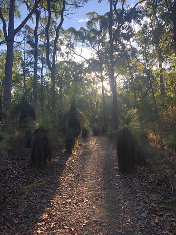
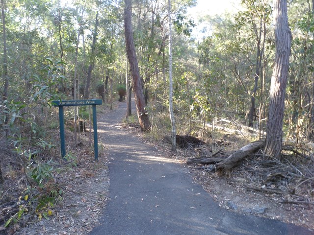
Xanthorrhoea Track
Brisbane City Council Local Walks
This track passes through mixed heath and woodland species including banksias, grass trees and heath peas. You are likely to see kookaburras, forest kingfishers, red-backed wrens, dollarbirds, lizards and geckoes.
Picnic area available at entrance.
Grade: easy, but it’s hilly
Suited to: birdwatching and flora walks
Habitat: heathland
Must: walk this track in September or at dusk
Recommendation: combine this track with the Banksia Track for a two hour circuit walk, Pomax Track for another two hour walk or all three for a three hour walk
 1
km
18
mins
1
km
18
mins
Banksia Track
Brisbane City Council Local Walks
This track rises to a knoll with westerly views. You will see grass trees and Australian native grasses. If you are lucky you may even see swamp wallabies feeding on the grass.