
Menu
Suggested searches
Your search found 2398 results...

 6.8
km
return
6.8
km
return
 5
hrs
5
hrs
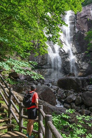
Tadachi Falls 田立の滝 (Nagano Prefecture)
Japan
An underated hike out in the middle of nowhere in Nagano prefecture. Mind-blowing waterfalls and epic adventure over suspension bridges.
 8
km
return
2.5
hrs
8
km
return
2.5
hrs
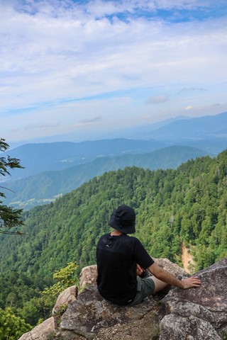
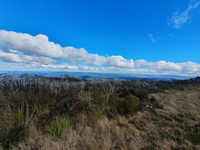
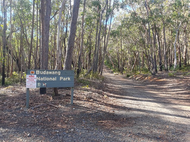
Mt Budawang
Morton National Park
A moderate steady ascent up to the highest mountain in the Budawang range.
 2.4
km
return
2.4
km
return
Eugenia Circuit
Jimna State Forest
Short circuit that stays close to Yabba Creek.
5
km
return
90
mins
Balancing Rock (Ben Nevis Park trailhead)
White Rock - Spring Mountain Conservation Estate
Discover this 5.0-km out-and-back trail near Spring Mountain, Queensland. Generally considered a moderately challenging route, it takes an average of 1 h 29 min to complete. This is a popular trail for hiking, running, and walking, but you can still enjoy some solitude during quieter times of day.
ATTENTION; As of August 2024, there is no trail signage that takes you to "Balancing Rock". Do your homework!
3.7
km
return
2
hrs
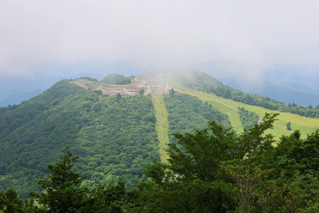
Mt. Chausuyama 茶臼山 (Aichi Prefecture)
Japan
Mt. Chausuyama is the tallest mountain in Aichi prefecture, part of a Quasi-national park. It is very easy and can be smashed out with the neighbouring mountain in probably less than two hours. There are some good mountain biking opportunities if you are of that persuasion, maybe good for trail running as well. In winter, the mountain becomes a ski field.
 3.5
km
return
1
hr
3.5
km
return
1
hr
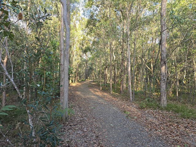
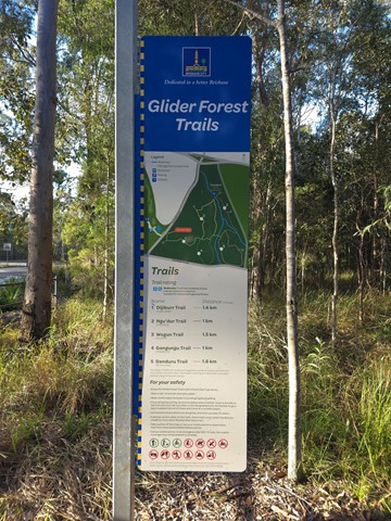
Glider Forest Trails
Brisbane City Council Local Walks
One of five signed recreational trails within Glider Forest allowing users to access and experience a range of different landscapes, including open eucalypt woodlands and paperbark groves surrounded by small stream-fed billabongs.
 24
km
return
2
days
24
km
return
2
days
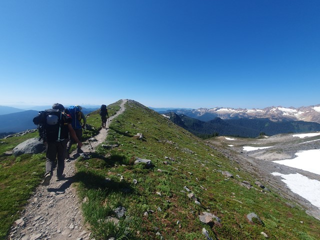
Mt Baker
Mount Baker-Snoqualmie National Forest
A challenging alpine ascent to the summit of the stratovolcano Mt Baker - a perfect mountain to learn basic alpining techniques.
 13.7
km
return
10
hrs
13.7
km
return
10
hrs
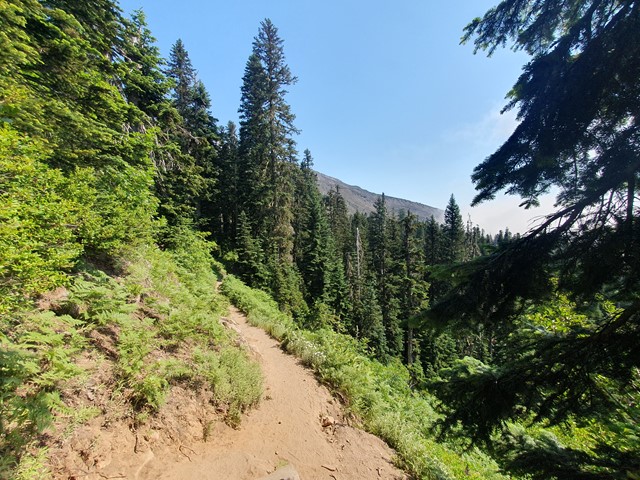
Mt St Helens
United States of America
A long and progressively steep day walk up the smoldering husk of what remains of Mt St Helens after the 1980 eruption.
 100
m
return
10
mins
100
m
return
10
mins
Teviot Falls Lookout
Main Range National Park
A short roadside stop to views of Teviot Falls, Main Range and into the scenic rim.
600
m
return
20
mins
Moss Gardens Lookout
Koreelah National Park
A short walk along the Queensland / New South Wales Border at the top of Koreelah National Park through mossy rocks and rainforest until you get to a view over Wilsons Peak and into New South Wales.