
Menu
Suggested searches
Your search found 2398 results...

 1
km
return
1
km
return
 20
mins
20
mins
The Gardens - Bay of Fires
East Coast Tasmania
Short circuit walk through a conservation area (sand dune, boulders, beach).
 5.2
km
return
6
hrs
5.2
km
return
6
hrs
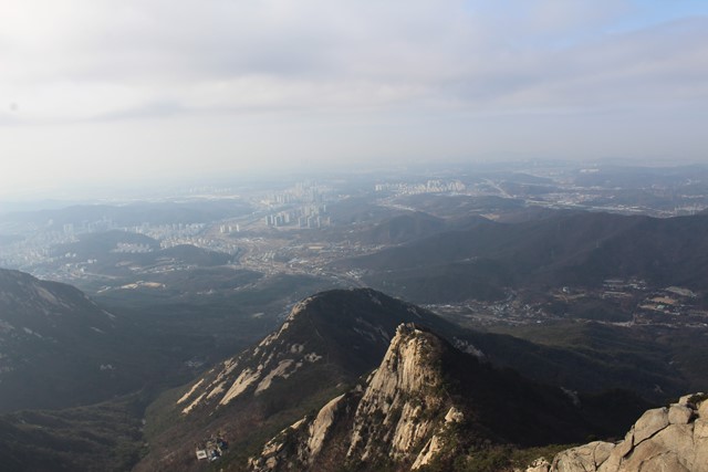
Mount Robert
North Queensland
Standing about 1000m high, Mt Robert, in the Boyne Valley is the highest mountain between the Gold Coast and Townsville. The Boyne Valley is a rural locality in Gladstone Region, Queensland, Australia. Mt Robert is situated on private property therefore can only be climbed when the family allows access usually once a year around July.
3
km
return
1
hr
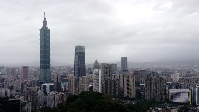
Xiangshan, Elephant Mountain
Taiwan
A short hike through the mountains in Taipei that connect to neighbouring mountains. The hike is accessible by public transport and has good views of the Taipei skyline. There are temples along the way and some wildlife can be seen. It's amazing to go straight from city to mountains.
 2.3
km
return
45
mins
2.3
km
return
45
mins
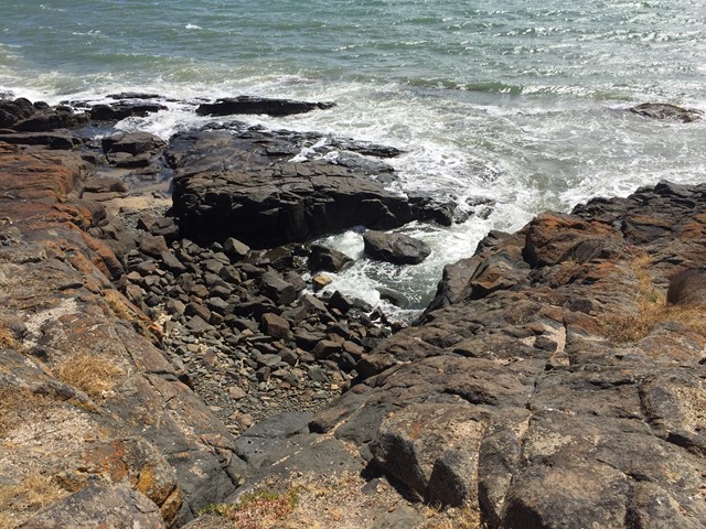
Loontitetermairrelehoiner Track
East Coast Tasmania
Named after the local band of Aboriginal people, this track leads around a rocky headland. Grand vista over Great Oyster Bay with the Freycinet peninsula as a backdrop. Shearwaters are nesting along the trail in summer.
 600
m
return
20
mins
600
m
return
20
mins
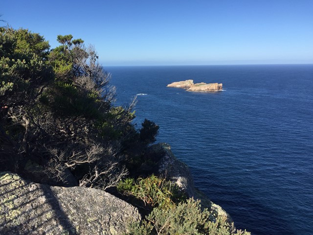
Cape Tourville Circuit
Freycinet National Park
Headland walk with expansive ocean views, Freycinet coastline and Cape Tourville lighthouse.
 15.5
km
one-way
4
hrs
15.5
km
one-way
4
hrs
Berowra to North Turramurra
Ku-ring-gai Chase National Park
Combines the Berowra track to Apple tree bay with a portion of the Sphinx
5
km
return
2
hrs
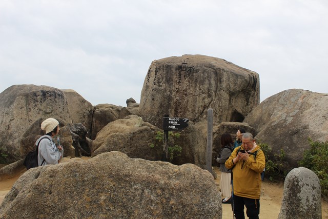
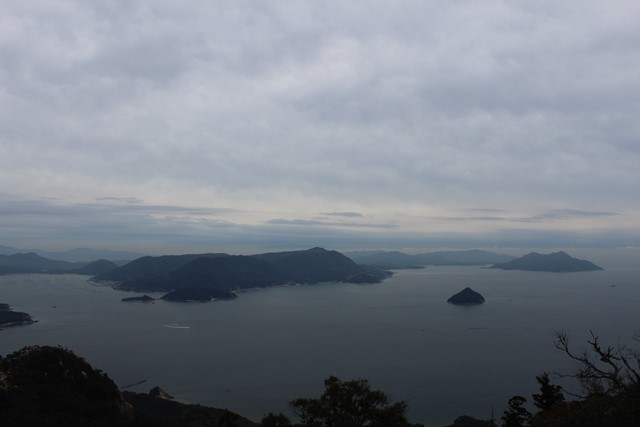
Mt. Misen 弥山, Miyajima Island (Hiroshima Prefecture)
Japan
The hike offers an alternative to the rope way which takes you to the top of Mt. Misen, the highest peak on Miyajima Island. At the top of the mountain there is a good viewing platform from which you can see the Seto Inland Sea and the main land of Japan. The track is far less crowded than the ropeway and gives opportunity to see some of the more wild deer which are less used to human interaction.
 8
km
return
5
hrs
8
km
return
5
hrs
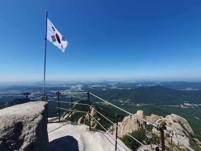
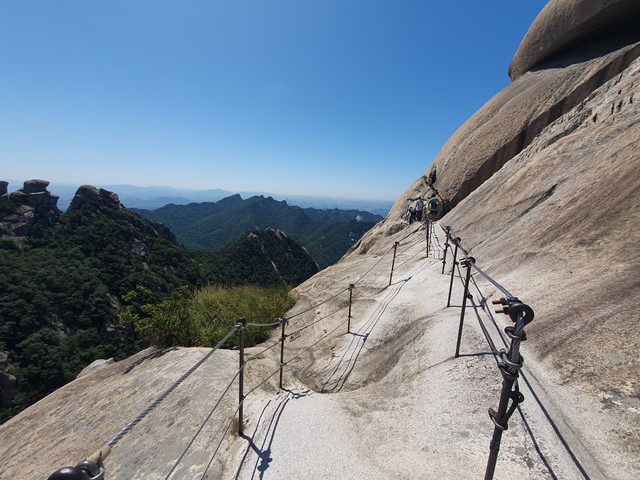
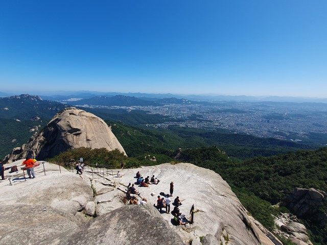
Baegundae Peak (Bukhansan National Park)
South Korea
A short distance from Seoul, Baegundae is a great escape from the city. The national park offers hiking tracks for all levels. Anything from easy to rock scrambling. Baegundae is somewhere in-between. The national park is accessible by public transport and is quite popular. To avoid crowds, it is best to go as early as possible.
 5
km
return
5
hrs
5
km
return
5
hrs
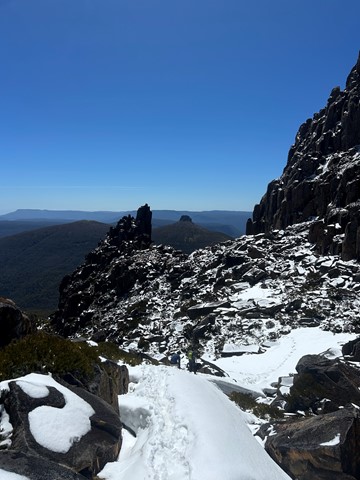
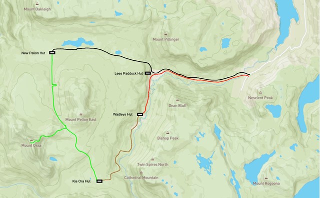
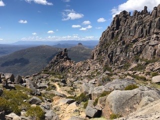
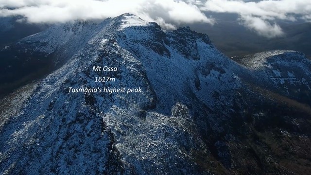
Mt Ossa Climb
Cradle Mountain-Lake St Clair National Park
A great climb of Tasmania's tallest Mountain in the beautiful Tasmanian Alpine region.
The return climb itself takes about 5 hours. For about the first 70%, the trail is a moderate upslope with steel and wooden boardwalks which evolves into a laid stone pathway. The last 30% becomes a fairly steep rock and bolder climb. In dry conditions even walkers of low fitness/experience can make this difficult climb. If its raining or snowing I would suggest novice climbers travel with someone with experience or wait until conditions improve. Getting to the base of this climb is the greatest challenge which is explained bellow.
 2.2
km
return
40
mins
2.2
km
return
40
mins
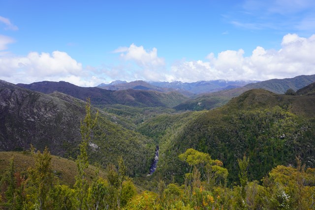
Donaghys Hill
Franklin-Gordon Wild Rivers National Park
40 minutes return, 2.2km
Grade 2: Suitable for most ages. The track has a hardened or compacted surface that may have a gentle hill section or sections and occasional steps.
Supervise children, unprotected track edges. No fires allowed—this is a Fuel Stove Only Area.
A valid parks pass is required for entry to Tasmania's national parks.
Located on the Lyell Highway (A10) between the Franklin and Collingwood rivers.
You’ll want to take your camera on this wonderful walk. Apart from being a great leg stretch for those driving the Lyell Highway between Derwent Bridge and Queenstown, this walk offers superb wilderness views.
The 1.1km one-way track climbs gradually through forest and scrub to a high lookout perched on rocky Donaghys Hill. From there, in clear weather, you can look down into the Franklin River valley and out to the impressive Frenchmans Cap and its neighbouring peaks. Return via the same track.