
Menu
Suggested searches
Your search found 2398 results...

 9
km
return
9
km
return
 8
hrs
8
hrs
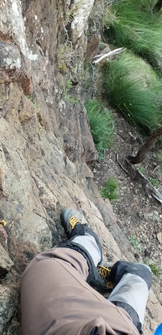
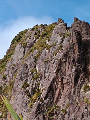
Mt Barney East peak south east ridge
Mt Barney National Park
This seems to be a duplicate of part of another walk. The information shown here is incorrect. Please refer to the Mt Barney - East Peak - Up South-East - Down South walk instead: https://www.aussiebushwalking.com/qld/mt-barney/mt-barney-summit/mt-barney-south-east-ridge-ascent-peasants-ridge-descent
Starting from yellow Pinch assend the as per the signage the south east ridge track to the summit
 7
km
return
5
hrs
7
km
return
5
hrs
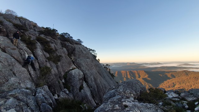
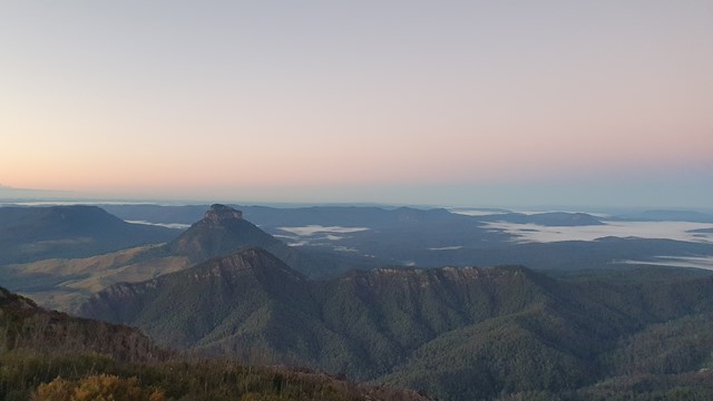
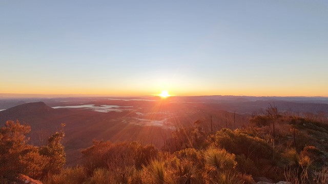
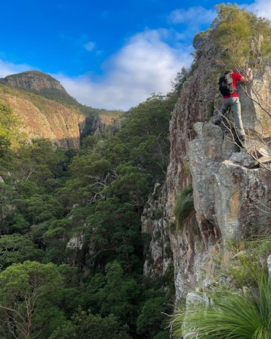
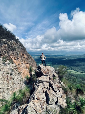
Mt Greville via Razor back ridge, waterfall Gorge, Bare rock, the ladder, the peak
Moogerah Peaks National Park
Starting from the car park assend to the folk and then drop across waterfall gorge and assend the northern wall and traverse along a narrow ridge before descending a gully back down into waterfall gorge and assend back up to Bare rock and the down into the northern gorge before taking the 2nd gully back up to a viewing rock and a bolted ladder before the last assend to the peak and desend south east ridge
 11
km
one-way
3
hrs
11
km
one-way
3
hrs
Northbrook Gorge via eagle's nest
D'Aguilar National Park
From Northbrook rd approx 2.5km west of the Mt Glorious township walk south on a forrestry track for 5kms before desending west on a singlebrack to Eagles nest and then descending down to the creek. head down stream bore passing through the gorge. go a further 2kms along the creek before ascending back to the road
 2.4
km
return
45
mins
2.4
km
return
45
mins
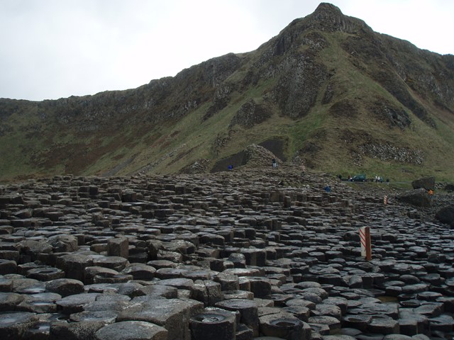
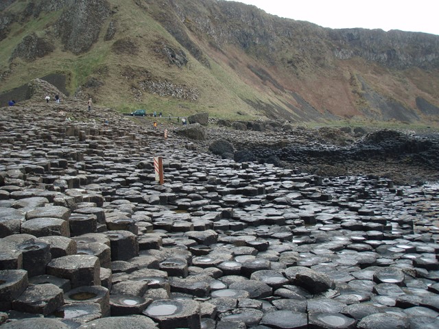
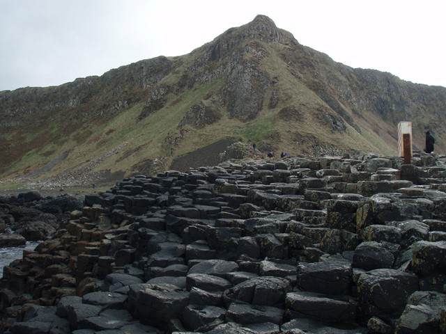
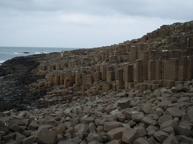
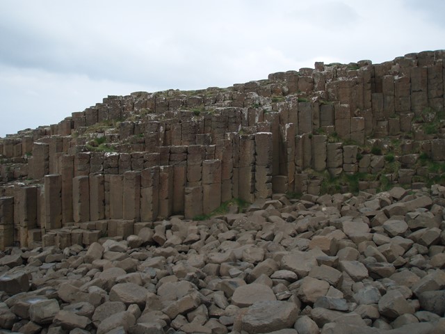
Giant's Causeway Blue Trail
United Kingdom
A short walk to the famous Giant's Causeway in Northern Ireland. A rock formation on the coast made up of 40,000 hexagonal basalt columns caused by volcanic activity. 1.2 km each way can take whatever amount of time suits. Caution causeway rocks can be slippery. UNESCO World Heritage Site
The causeway its self is at 55.241014, -6.511652
 2.8
km
return
1
hr
2.8
km
return
1
hr
Philosophers Falls
West Coast Tasmania
10 minute drive out of Waratah towards Savage River. It’s a magical walk that took about an hour to stroll with plenty of photo opportunities. About 200 stairs to the falls viewing platform. Such a beautiful walk, well worth the drive to Waratah.
 5.5
km
return
2.5
hrs
5.5
km
return
2.5
hrs
Mt Greville waterfall gorge, Northern face
Moogerah Peaks National Park
Starting from the car park ascend to the viewing rock and then head along the faint track towards south east ridge. Once at the cliff line peel of to the right and traverse along until you get to the first gully entrance seen from the viewing rock once there rock scramble up the north western ridge line to the summit. Beware there is a degree of exposure here and no marked route. The bare rock is cliff like and the gullies are extremely unstable beware of shifting rocks. Descend down south east ridge.
 14
km
return
7
hrs
14
km
return
7
hrs
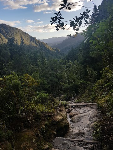
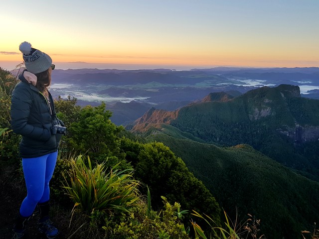
Kauaeranga Kauri Trail - Pinnacles Walk
North Island NZ
Moderate 2.5-3 hour climb (one way) through the stunning Kauaeranga Valley to the Pinnacles Hut.
The summit is a further 45 minutes from here. You can do an over night stay at the hut and complete the summit at sunrise (recommended).
Follow the gravelled path and staircase. From here you will have to do some scrambling and negotiate a few metal ladders along with metal rungs to get to the top and take in the stunning views.
Once you've soaked it all in, return to the hut, pick up your pack and head back down. You can return via the
Webb Creek Track or Billygoay track with the former being the shorter route.
The tracks are well marked and impossible to lose.
 800
m
return
45
mins
800
m
return
45
mins
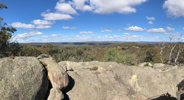
Donnelly’s Castle
Darling Downs South West
A nice little walk around the rock formation features of Donnelly’s Castle Lions Park with the lookout above and the caves below.
 2.5
km
return
45
mins
2.5
km
return
45
mins
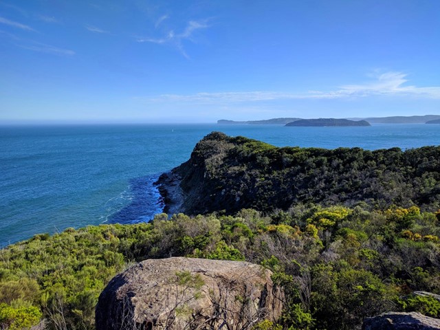
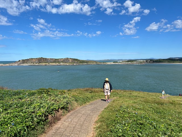
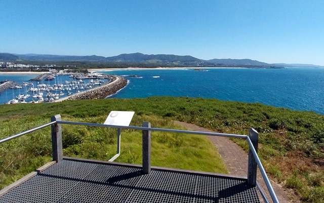
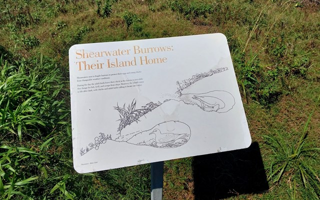
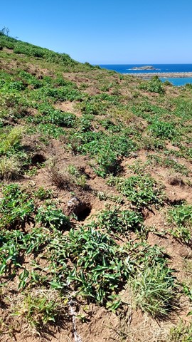
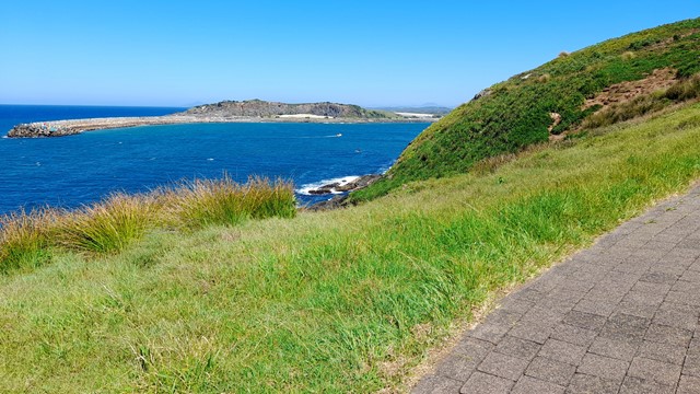
Muttonbird Island Nature Reserve
New South Wales
Explore Muttonbird Island with spectacular views in every direction and an abundance of wildlife.