
Tallebudgera Creek Circuit
Gold Coast


Menu
GPS Tracks
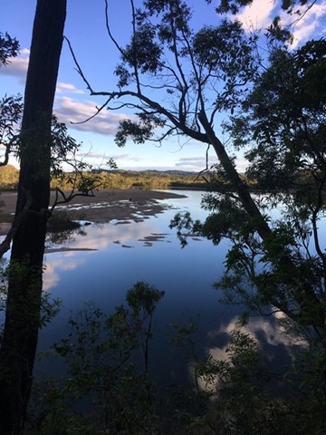
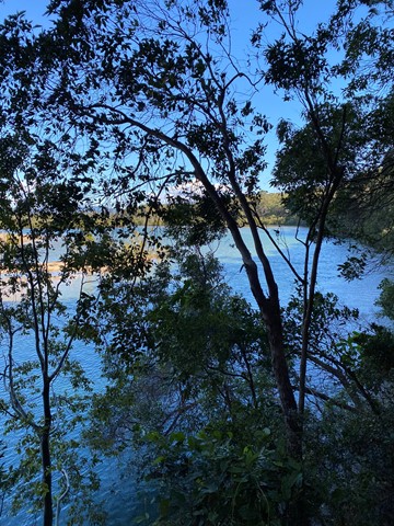
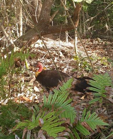
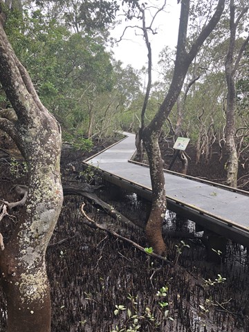
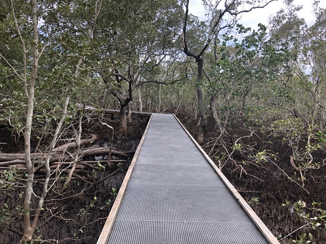

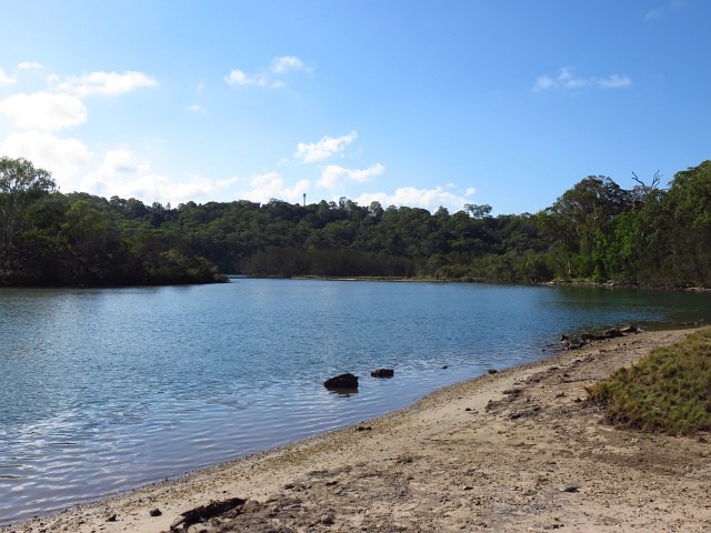
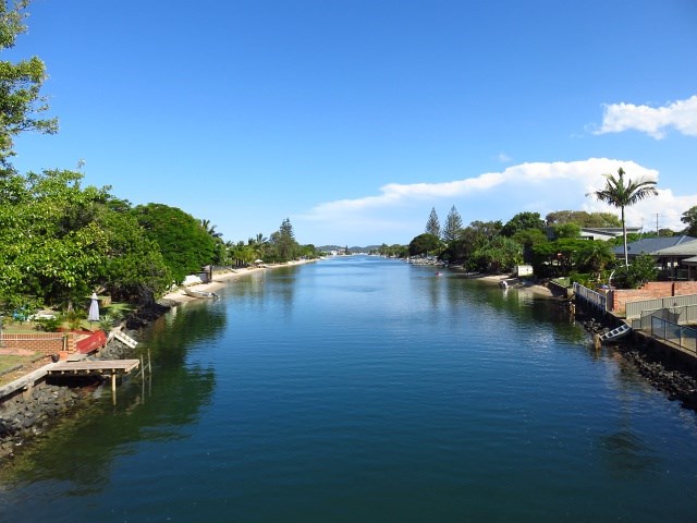
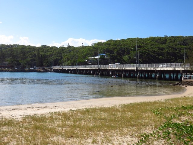
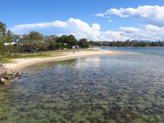
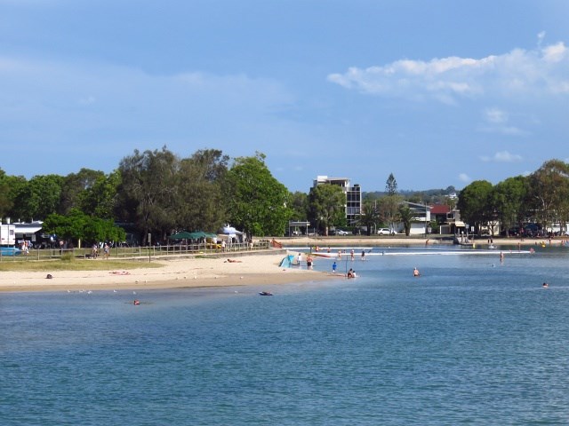
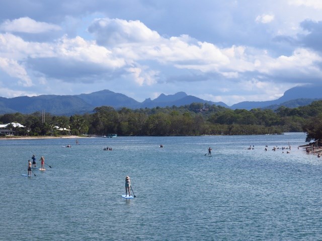


This is a pristine waterway, one of the ‘must do walking tracks’ on the Gold Coast
Swimming
Picnic Facilities
No Dogs Permitted
Coastal
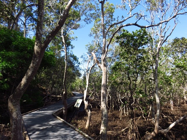
Swamp or Wetland
24m
Maximum Elevation
123m
Total Climb

Getting there
Start at the carpark for David Fleys Wildlife Park, Loman Ln, Burleigh Heads QLD
Maps
Which maps cover the area?
Route/Trail notes
A detailed description of the walk!
Permits/Costs
Nil
 Tallebudgera Creek Circuit (GPX)
 8
8 2
2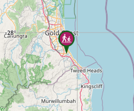
Comments