


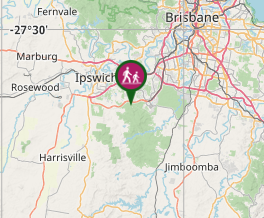
 White rock Redbank Plains (KML)
 6.5
6.5 2
2- White Rock Ridge Hike (White Rock - Spring Mountain Conservation Estate)
- Six Mile Creek Track (White Rock - Spring Mountain Conservation Estate)
- Little White Rock Lookout Circuit (White Rock - Spring Mountain Conservation Estate)
- Little White Rock Track (White Rock - Spring Mountain Conservation Estate)
- Bluff Lookout Circuit (White Rock - Spring Mountain Conservation Estate)
White Rock Multi-User Trail
White Rock - Spring Mountain Conservation Estate
Menu
GPS Tracks


A level track with some rough surfaces and stairs at the end.
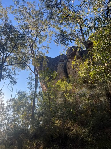
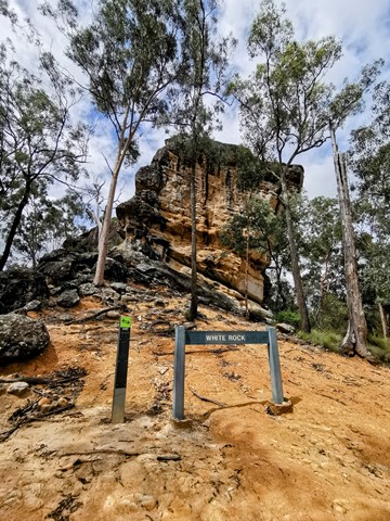
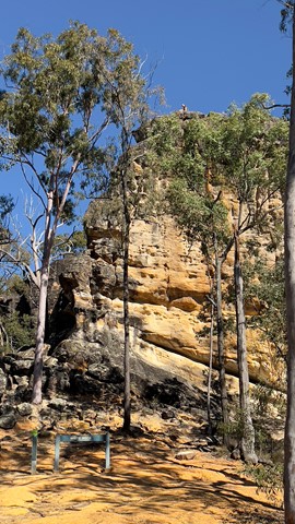
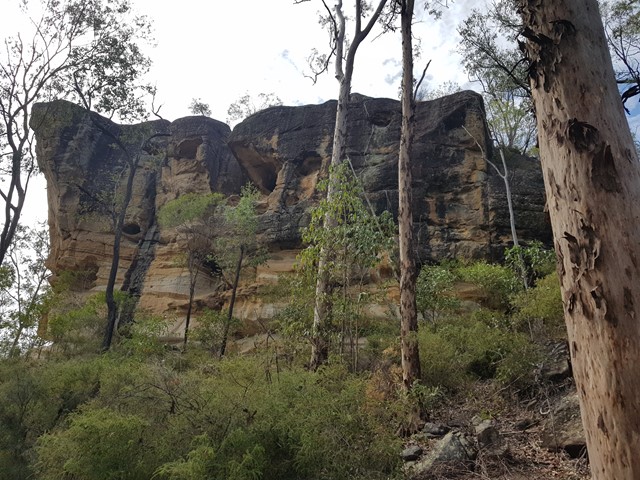
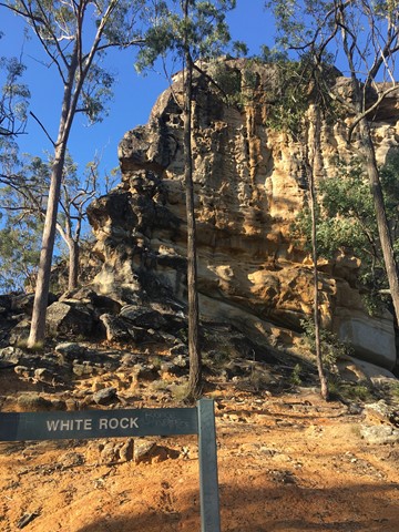
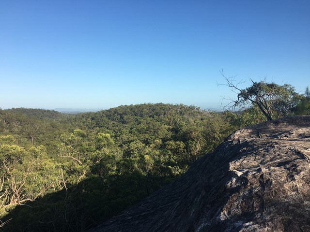
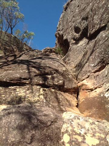
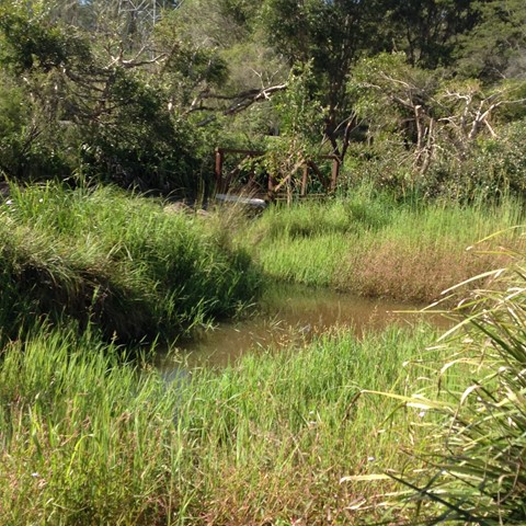
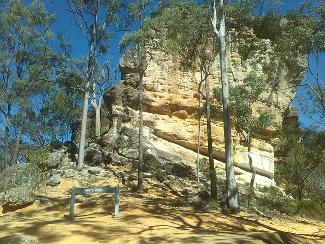
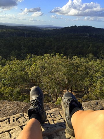
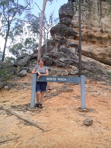
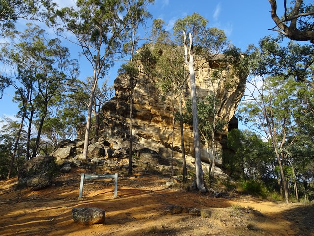
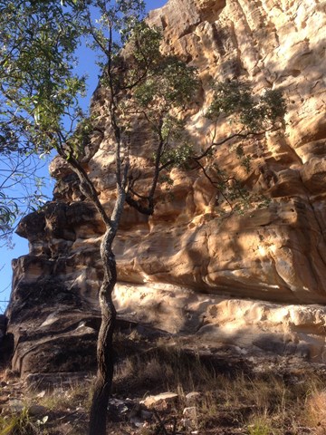
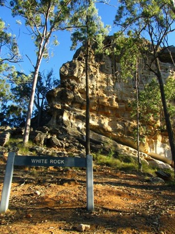
Leading to the base of the culturally significant White Rock this trail goes through a mix of vegetation types and sceneries from riparian to open eucalypt forest and rocky ridges. Climb the stairs to gain views to Spring Mountain and the surrounding area.
Access to the top of White Rock is not allowed. Please respect the original Ugarapul custodians of the land.
No Dogs Permitted
No Horses Permitted
Cycling Permitted
Getting there
Head down to end of School Rd, REDBANK PLAINS. There is a short unsurfaced road that leads to the carpark.
Maps
https://www.ipswich.qld.gov.au/__data/assets/pdf_file/0011/24410/White-Rock-Spring-Mountain-Conservation-Park-Guide.pdf
Route/Trail notes
A moderate level track with some rough surfaces and steep inclines. Leading to the base of the culturally significant White Rock this trail goes through a mix of vegetation types and scenery from riparian to open eucalypt forest and rocky ridges. Climb the stairs to gain views to Spring Mountain and the surrounding area. Access to the top of White Rock is not allowed.
Other References
How can I find more info? Any guide books?
Where
Click here to load this map.
Comments