
Mt Eerwah
Sunshine Coast


Menu
GPS Tracks
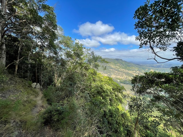

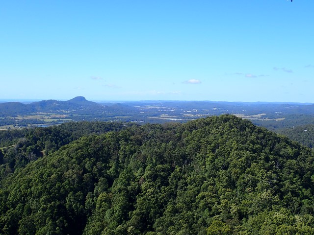
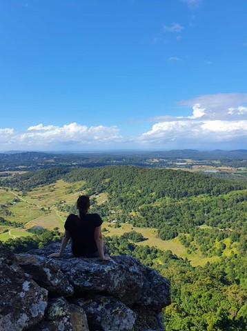
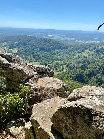
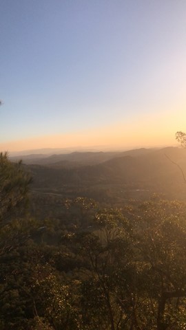
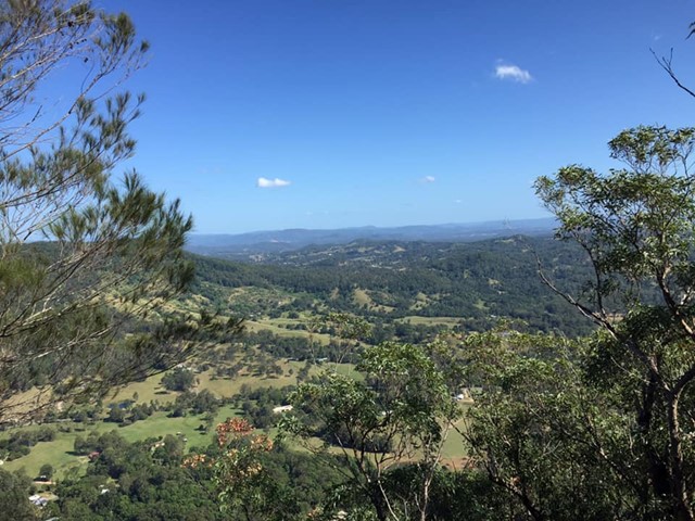
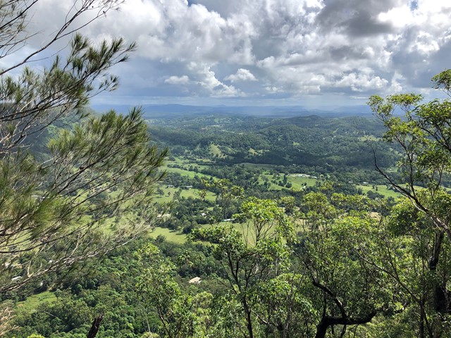
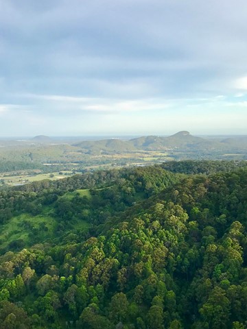
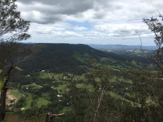
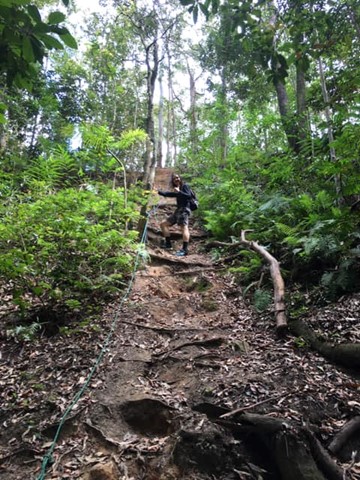
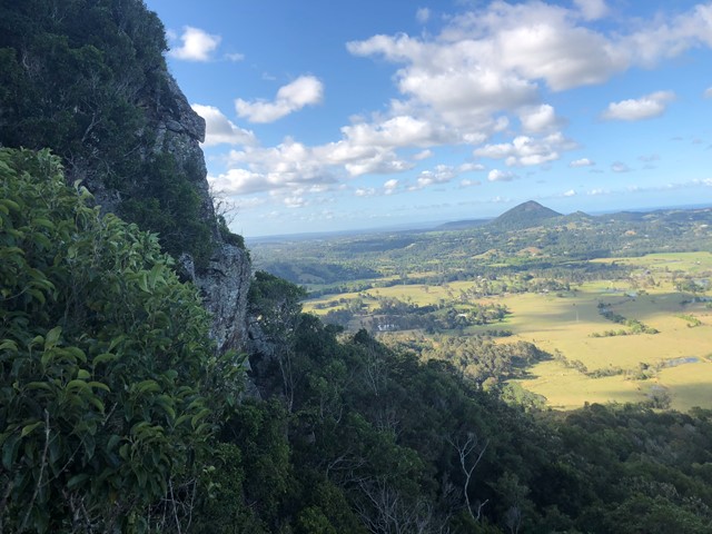
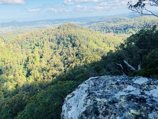
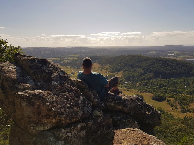

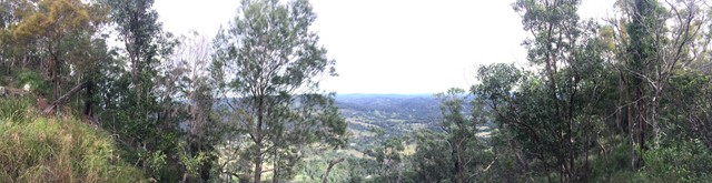

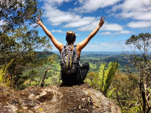
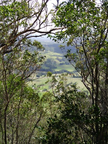

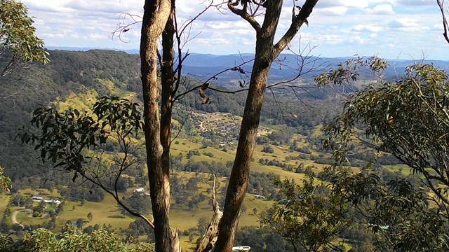
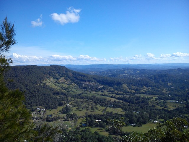
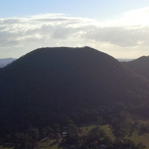
This is a seldom but fun mountain to climb and in places only has a faint trail to the top. Views from there are in a westerly direction and whilst spectacular, the views to the east across the coastal plain, would have been even better, but for the scrub and trees.
It's a steep and loose track, definitely not suited for those with balance issues, smaller children, etc. A section near the top has eroded/wasted away, leaving a significant drop off - be careful!
The track is very clear.

Getting there:
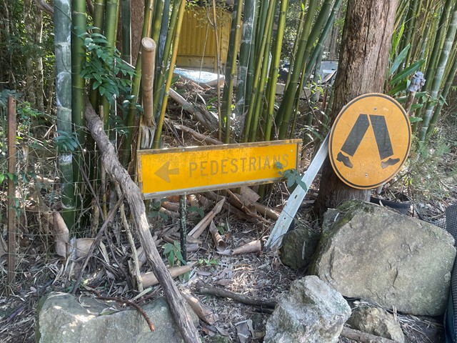
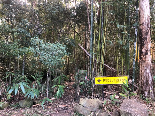
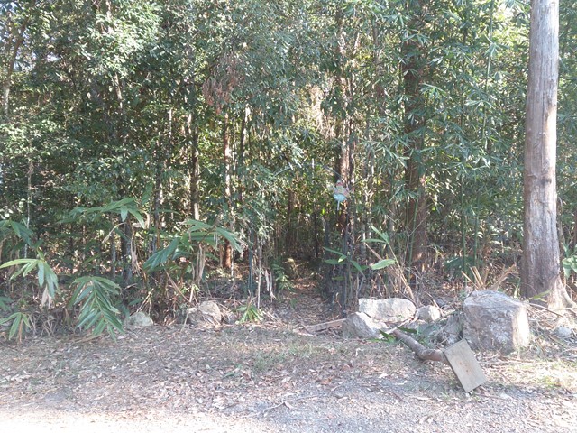
From the Bruce Highway, take the Kenilworth/Noosa exit; follow signs towards Kenilworth on the Eumundi Kenilworth Road; turn left into Browns Creek Road and then left again into Mt Eerwah Rd. After 0.5km at the letter boxes 75 and 79, there is a spot on the left to park 3/4 vehicles (at the beginning of the bamboo hedge) and it is here that the walk begins, even though the mountain is on your right.
Maps:
None found.
Route/Trail notes:
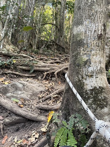
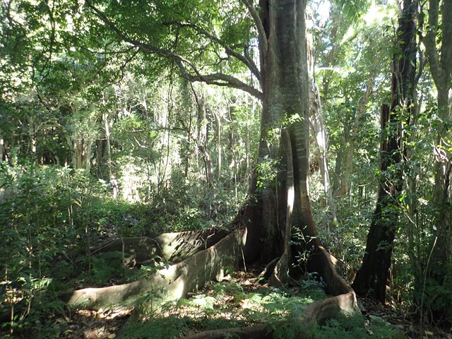
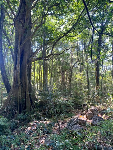
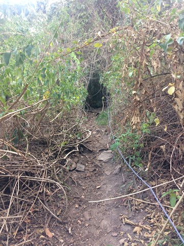
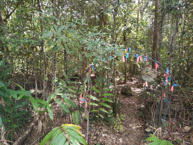
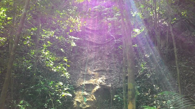
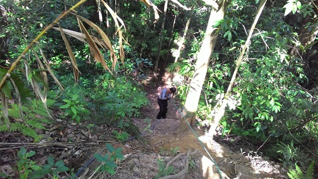
At the start of the track there is a roadworks sign that says “Pedestrians” which point to the start of the track. Follow the fence line across three gullies, the last of which has been kindly roped. A faint trail contours around some open land until it reaches a ridge that you turn right onto. Now follow the ridge up where the trail threads through some rather large lantana patches. 1/3 up, you can take either the right and left trail, which converge after 100m at the top of a rocky gully.
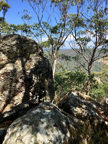
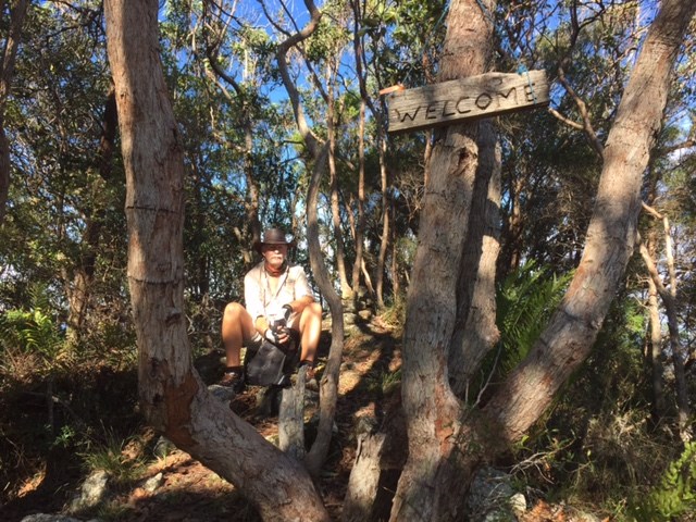
Follow through the rainforest where the path is steep, slippery and loose. Once you leave the forest, after a few twists and turns above the cliff line and a further roped (broken 2017) section where the trail is narrow, you will reach another steep, loose slope that will get you to the summit ridge. Once the ground levels out, follow the ridge uphill and down dale to the 'true' summit. At the 'welcome' sign, enjoy the view, a drink and a bite to eat.
Retrace your steps back down.
Permits/Costs:
None.
Other References:
The word 'eerwah' is apparently the indigenous work for 'death adder'. So watch out!
I have read that you can continue beyond the summit, down and back up to the second summit to the south east, but I understand this would take you onto private land.
 65 Mt Eewah (KML)
 2.8
2.8 3
3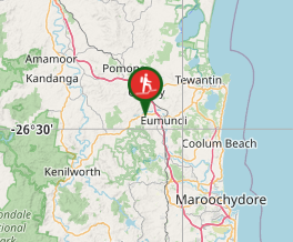
Comments