
Mount May
Mt Barney National Park


Menu
GPS Tracks


A challenging half day circuit walk of Mount May with great views of the surrounding mountains.

Getting there:
Coming from Boonah turn right off the Boonah - Rathdowney Rd onto Burnett Creek Rd, then left into Newman Rd (gravel) then turn right into Waterfall Creek Rd up to the Waterfall Creek campground.
Maps:
QTopo: 9441 - 423
Route/Trail notes:
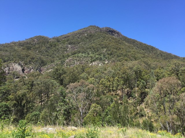
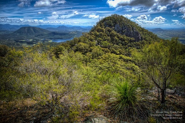
Just before the large red 4WD sign, to the left the start of the trail is easily seen. Follow an eroded footpad up the Northern/North-eastern ridge. After 30-45 minutes you will reach a low cliff; bear right until you find a break that can be climbed without too much difficulty. Back on the footpad the track continues to follow the ridge, flattening out a little. A few hundred metres from the cliff line you just climbed keep your eye out for a cairn of rocks (*25/04/2023 couldn't find the cairn*) leaning against a gumtree on the left of the track. This will be important later in the walk. The track then starts to get steeper again and crosses several rock slabs as it climbs towards the summit of the North peak. It will take one to one and a half hours to reach this point.
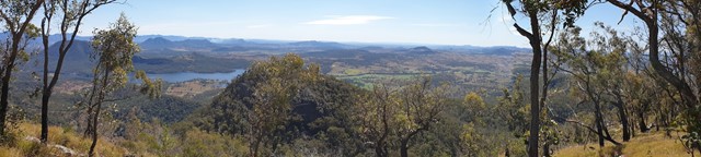
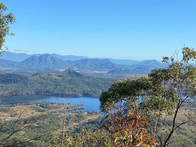
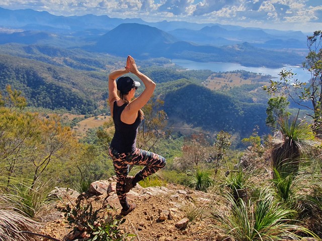
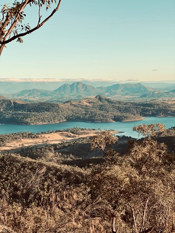
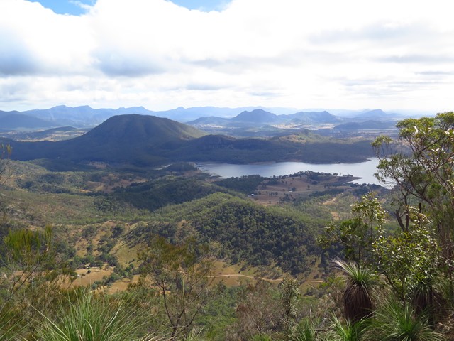
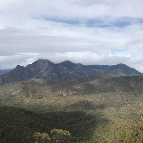
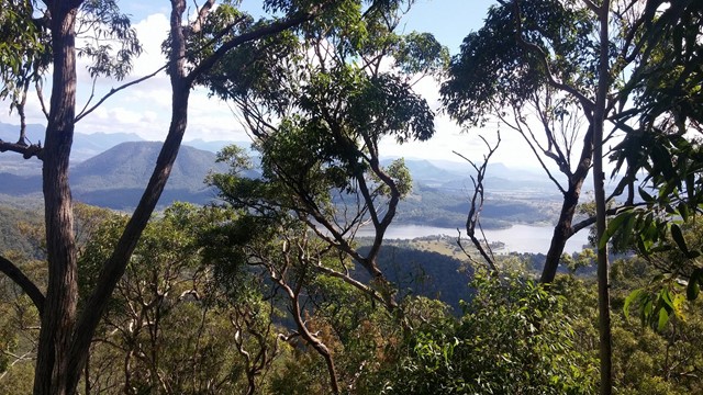
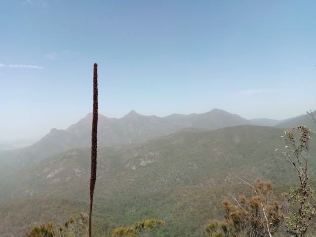
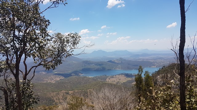
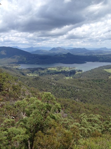
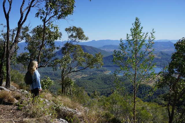
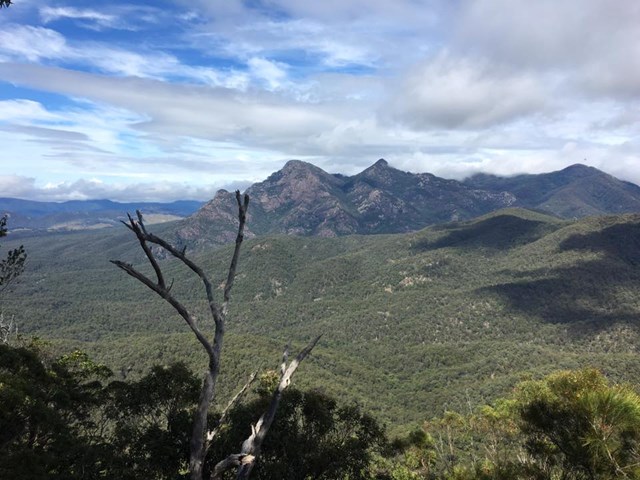
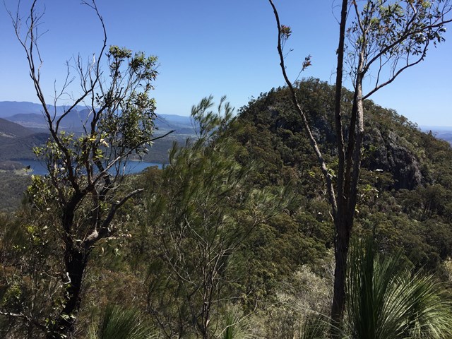
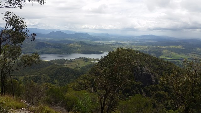
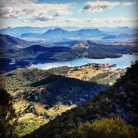
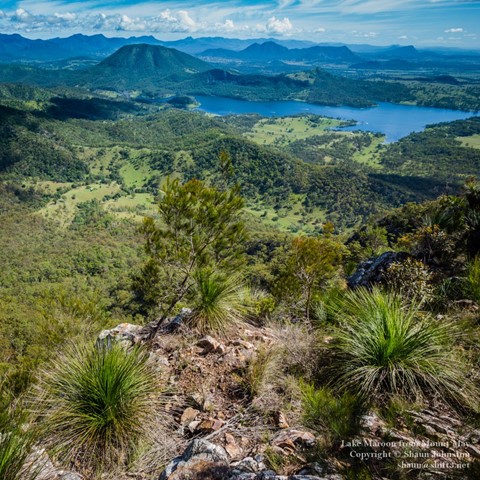
After admiring the views to the West and North, retrace your steps back down the ridge to the rock cairn. Turn right (roughly Easterly) then head down the side of the ridge. On this part of the mountain footpads are much less distinct than the summit track, but if you keep heading downhill bearing Southeast you will come to a gully with a few rock pools after about 15 minutes from the cairn. Follow the gully left (downstream if the water is running) until you come to a 10metre cliff and waterfall (usually only a trickle). From this point, follow the ridge up (roughly south) until, after another 20 to 30 minutes, you reach the Southern peak summit ridge, where the track again becomes more distinct. Follow the ridgeline for about 100 metres until you find some more open areas with great views of Mt Barney and Mt Ballow. It will have taken about two and a half hours to reach this point.
The descent follows the Southwestern ridge from the Southern summit. It is quite steep, involving some climbing and scrambling, but there is no real exposure (take it from someone quite nervous about big drops!), then after about thirty minutes you will reach Waterfall Creek Rd.
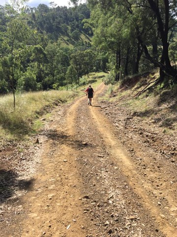
Turn right and head downhill approximately 3.5km back to the campground, crossing through a couple of gates (the road passes through private property). Curiously, this is probably one of the trickiest parts of the walk, given how steep the road is, with gravel on top of rock making slipping a definite concern.
At the last creek crossing just before getting back to the campground turn right and walk upstream about 50m to a beautiful gorge with a rock pool (deep enough for a swim) and waterfall.
Circuit can be done in either direction but note that the northern ridge is recommended for ascent only due to loose rocks and scree.
Permits/Costs:
None.
Other References/Comment:
Most guidebooks describe the direct route between the North and South peaks, involving some significant exposure.
 Mt may (GPX)
 9
9 5.5
5.5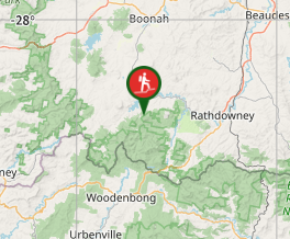
Comments