
Menu
Popular Walks
-
Mt Cordeaux
(667 ticks) -
Mt Mitchell
(565 ticks) -
Bare Rock track and Morgan's Walk
(329 ticks) -
Queen Mary Falls Circuit
(168 ticks) -
Mt. Mathieson Circuit
(114 ticks)
Parent Regions
Summary
Main Range National Park straddles the Great Dividing Range West of Brisbane. The park includes some of the most popular mountain walks in South-East Queensland including the highest mountain in the region, Mt Superbus.
Popular Walks
-
Mt Cordeaux
(667 ticks) -
Mt Mitchell
(565 ticks) -
Bare Rock track and Morgan's Walk
(329 ticks) -
Queen Mary Falls Circuit
(168 ticks) -
Mt. Mathieson Circuit
(114 ticks)
Parent Regions
History
Any interesting history for the region?
Features
Lookouts and rugged landscapes are the highlight of Main Range. Walks range from well marked tracks like Mt Cordeaux and Mt Mitchell to multi-day off track treks down the range.
Maps
The large area which Main Range covers means quite a few maps are required to cover the whole area, but most walks will only use 1 or 2 of these. Sunmap 1:25000 sheets which cover the area include Cunninghams Gap, Mt Superbus, Wilsons Peak, Teviot, Mt Clunie, Mt Alford, Glen Rock, Townson, Thornton, Rosevale and Junction View
A 1:50000 sheet - Cunninghams Gap - is also available for the main area with adjoining maps of some use. Forestry maps may also be available.
Accommodation
Where can I stay there? or near there?
Camping
Other
Contact details
QPWS - http://www.epa.qld.gov.au/projects/park/index.cgi?noback=1&parkid=94
Walks in Main Range National Park

 100
m
return
100
m
return
 10
mins
10
mins
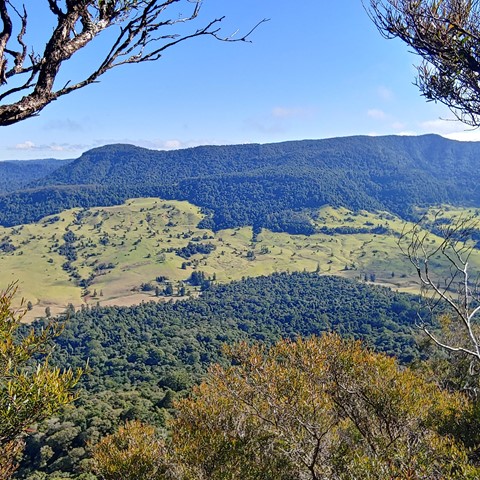
Teviot Falls Lookout
A short roadside stop to views of Teviot Falls, Main Range and into the scenic rim.
 18
km
return
2
days
18
km
return
2
days
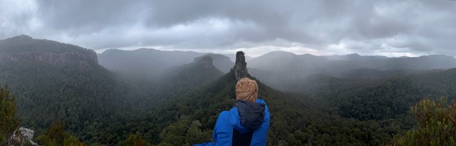
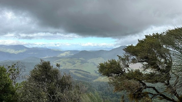
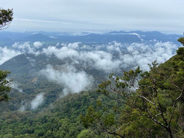
The Steamers
Great classic walk to a beautiful bush feature and some fantastic views
 12.5
km
return
7
hrs
12.5
km
return
7
hrs
The Steamers Via Creek
A mostly offtrack walk navigating a picturesque creek, The Stern, The Mast and The Funnel.
 12
km
5.5
hrs
12
km
5.5
hrs
Wilson's Peak - Eastern Approach
The eastern approach to Wilsons Peak, following the Qld/NSW rabbit fence to a mountain that straddles the border, with some really steep sections.
 12
km
return
4
hrs
12
km
return
4
hrs
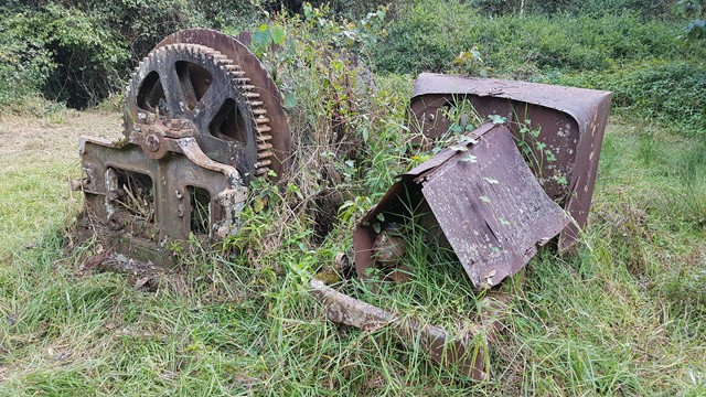
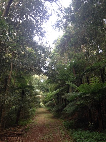
Winder Track
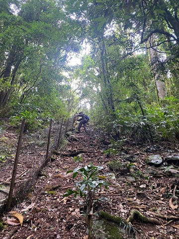
The Winder track starts at the north-east end of Lookout Road, 6.3 km beyond Kurrajong picnic area. This track passes through rainforest along the crest of the Mistake Range before ending at the 'winder', a piece of relic machinery from the early days of timber cutting.