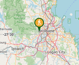
Mt. Coot-tha Summit Track

Mt. Coot-tha

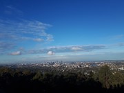
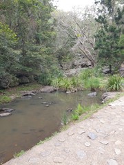
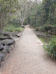
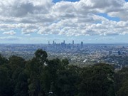
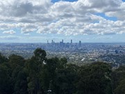
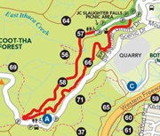
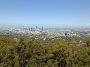
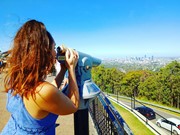
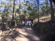
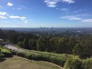
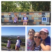
Mt Coot-tha Lookout has sweeping views of Brisbane City, Moreton Bay, and around to the Tweed Volcano, Main Range and Mount Barney and Flinders Peak. The walk to this lookout, from JC Slaughter Falls Picnic Area, is a potentially slightly testing but generally easy walk on a paved track that straddles a gully.

Lookouts
Picnic Facilities
Toilets
Dogs Permitted
Horses Permitted
Cycling Permitted
No Camping Permitted
Eucalypt Forest
231m
Maximum Elevation
156m
Total Climb

Getting there:

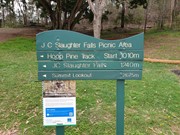
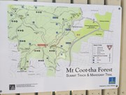
Walk starts at the far end of the JC Slaughter Falls picnic area. JC Slaughter Falls Road is off Sir Samuel Griffiths Drive.

Maps:

Mt Coot-tha Reserve

Route/Trail Notes:

None posted.

Permits/Costs:

None.

Other References/Comments:

You can in fact drive to the top along Sir Samuel Griffiths Drive, where there is restaurant and cafe.

Comments

Very pleasant follows creek for the most part which after decent rain is very pretty. i also came back down the mahogany trail which makes a nice round trip.

luvwalking on 15 Apr, 2017

I do this walk every week. It is easy but the final section might be more challenging for some. The views from the top are good as the entire Brisbane area can be viewed but the lookout is often flocked by Asian tourists. It takes me 10 - 15 mins each way

0zzyDave1234 on 17 Feb, 2017

I found it hard to believe that there might be water bubblers along this track, but there they were. Fantastic! The bottom section is quite a bit like a walk through a park. Very nice I might add. However, further along it is more like a bush walk with a good path. It was a hot day, and so maybe not as many people as on other weekends, but we did still see a few.

Ian and Sue on 21 Jan, 2017

This walk is so busy with tourists, trail runners and dog walkers.

Brendan on 11 Dec, 2016

Nice walk, super easy!

jjoha on 15 Nov, 2016

Beautiful views at the top but very touristy. Extremely easy walk

xxxNickyxxx on 13 Sep, 2016

Felt this one, slightly steeper than Mt Ngungun. JC Falls would be better after the rain.

Michelle on 10 Sep, 2016

We started at the bottom of the car park which makes it about 5.3km return. Completed in 43 mins. Great path to jog down. Plenty of water bubblers along the way.
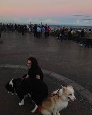
Rewarding views at the top. Love that you can take dogs.

Jess on 18 May, 2016

Great walk for the family

Teamsmith on 2 May, 2016

Have hiked several times, great hike to do once a week or so to keep up fitness levels. The art trail that detours away for a few minutes with steep climbs and descents means there can be some variety to each walk, deciding each time if you'll do the detour.

Braden Hearn on Mar, 2016

One of my favourite walks which I've done many times. There is a new track going from the back of the Mt Coot-tha Botanic Gardens which joins this trail near the top.

Michael Martin on 14 Feb, 2016

We cheated and drove to the top!

F.A.B. on 3 Oct, 2015

Not that hard, really.

gracilicaudatus on Aug, 2015

Lovely easy walk with Miss 11 - walked up to the summit, enjoyed the views while she had an icecream, then walked back and did the detour along the Aboriginal Art trail - beautiful!

Deb on 5 Jul, 2015

Good walk with the family. Recon it will be beautiful during the wet season if the creek is full.

Peare on 23 May, 2015

lots of people use these tracks for serious exercise, you will see people running and jogging etc. great scenery and the paths are well maintained. This is not a real 'bush'walk, it's more like a large city park walk with majority paved paths and built steps.

Harry van Netten on 27 Apr, 2015

Great walk, all uphill one way but easy enough. Gets the heart pumping!

totally_dramatic1 on 25 Apr, 2015

Nice easy up hill track to get the heart going, well signposted. There's quiet a few different starting points at the bottom, heading up to the cafe, then down the falls and back. Can be very busy on the weekends, with people, children and dogs.

Tanya on 2015

A good walk with great views over Brisbane. Great to see so many others out walking as well.

Alexandra on 15 Mar, 2014

Nice walk, easy gradient, gains around 190m in vertical height.

Grumps on 3 Feb, 2014

Where

Click here to load this map.

Nearby Walks

Done this walk?

This walk has been ticked 368 times

Aussie Bushwalking can keep track of your bushwalks.

Login/signup to tick this walk off.

Tick walks to keep track of where you've been. You must Login to tick walks. Accounts are 100% free so sign up if you don't have one.