
Menu
Popular Walks
-
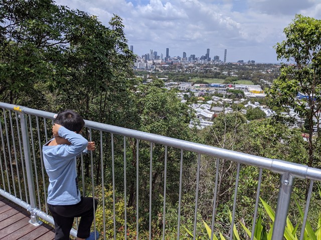
Mount Gravatt Summit Track
(106 ticks) -
Billai Dhagun Circuit
(93 ticks) -
Toohey Forest Trailhead to Mt Gravatt Lookout
(88 ticks) -
The Cliffs Boardwalk
(65 ticks) -
Tinchi Tamba Wetlands
(65 ticks)
Parent Regions
Summary
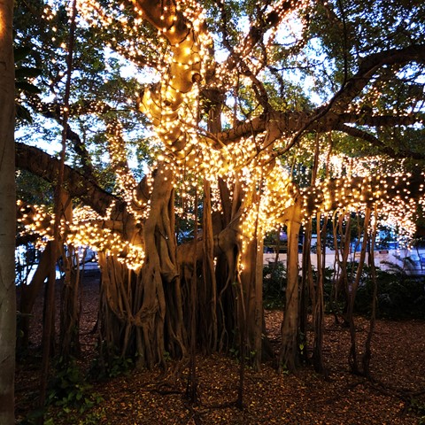
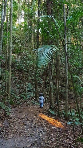
Toohey Forest walk to Mt. Gravatt mountain
Popular Walks
-
Mount Gravatt Summit Track
(106 ticks) -
Billai Dhagun Circuit
(93 ticks) -
Toohey Forest Trailhead to Mt Gravatt Lookout
(88 ticks) -
The Cliffs Boardwalk
(65 ticks) -
Tinchi Tamba Wetlands
(65 ticks)
Parent Regions
History
Features
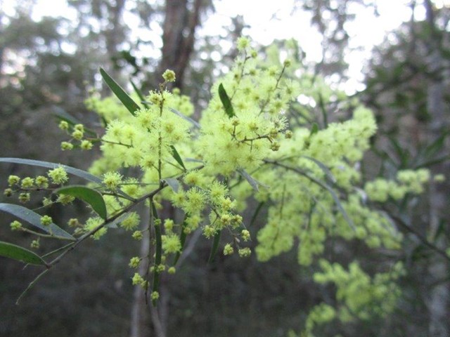
Amazing rock formations, See what Brisbane bush originally looked liked.
Access
Park at Toohey Forest and many walks lead from there
Maps
Available from Brisbane City Council Website. Downloadable
Accommodation
Camping
No camping permitted in park
Other
Contact details
https://www.brisbane.qld.gov.au/things-to-see-and-do/outdoor-activities/walking-in-brisbane
Walks in Brisbane City Council Local Walks

 3.5
km
return
3.5
km
return
 1
hr
1
hr
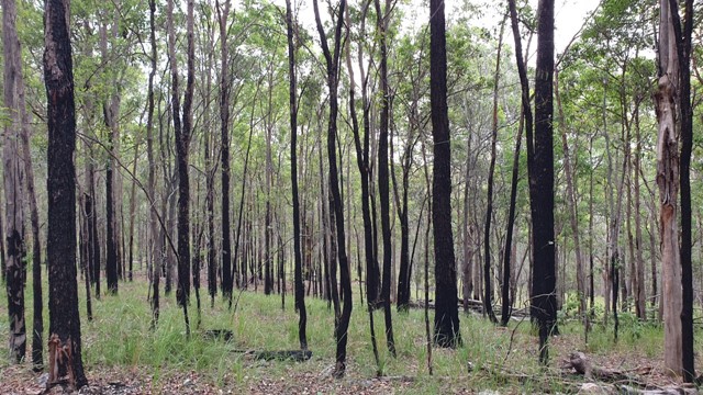
Brisbane Koala Bushlands (Multi Use Trail)
A pleasant walk in bushland that takes about 1 hour. You are likely to have the walk to yourself and see wallabies and various bird species.
 1.4
km
return
30
mins
1.4
km
return
30
mins
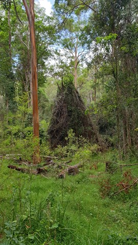
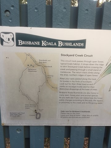
Brisbane Koala Bushlands (Stockyard Creek Walking Trail)
Circuit track through open forest koala habitat. Bitumen/ boardwalk.
 8
km
return
90
mins
8
km
return
90
mins
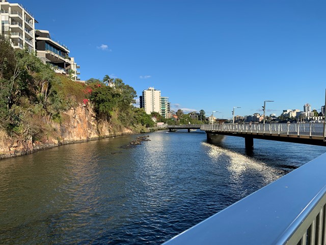
Brisbane River Walk
This is my taken pathway: Fortitude Valley, New Farm, Riverwalk, Kangaroo Point on a sunny hot day! It took me 1.5h equivalent to 10k & 11,000 steps
 6
km
one-way
2
hrs
6
km
one-way
2
hrs
Cabbage Tree Creek Walk (lower creek section)
Follow the Cabbage Tree Creek bikeway through local parks and remnant bush lands. Accessible by public transport. Including the suburbs of McDowall, Bridgeman Downs, Carseldine, Fitzgibbon.
4.5
km
one-way
90
mins
Cabbage Tree Creek Walk (upper creek section)
Follow the Cabbage Tree Creek Bikeway through parks and reserves. Includes parts of Bunyaville, Everton Hills, Arana Hills, Ferny Hills. Accessible by public transport.
5
km
return
90
mins
Cornubia Forest Park - Birdwing - Stupidty Happy - Birdwing
This walk is shared with the brave bike riders. The first half was winding down to the valleys bottom then winding back up to the top.
900
m
return
30
mins
Crebra Circuit
A circuit for walkers only, can be joined behind the Ironbark Gully picnic area. Two bridges to traverse the mostly dry creek. Drinking water and toilets available at the picnic ground.
 770
m
15
mins
770
m
15
mins
Creek Track
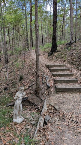
This track leads you to a creek platform that overlooks Downfall Creek. You are likely to see waterhousia and lomandra. Common crow butterflies feed on monkey vine and red ash.
Picnic area available at entrance
Grade: easy
Suited to: bushwalking
Habitat: dry riparian vine forest
Must: spend time at the creek platform listening for birds and watching the creek life
 7
km
one-way
2
hrs
7
km
one-way
2
hrs
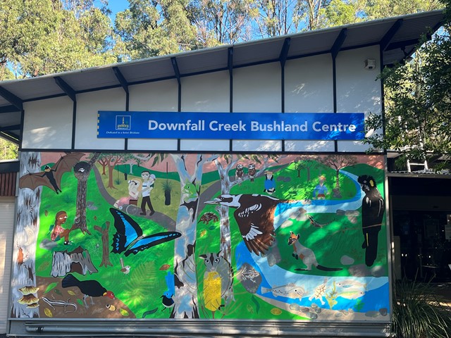
Downfall Creek Walk
Shared path along the creek, from Downfall Creek Bushland Centre to Virginia train station. Don't miss the Huxtable Park Rainforest Boardwalk along the way.
 2
km
return
45
mins
2
km
return
45
mins
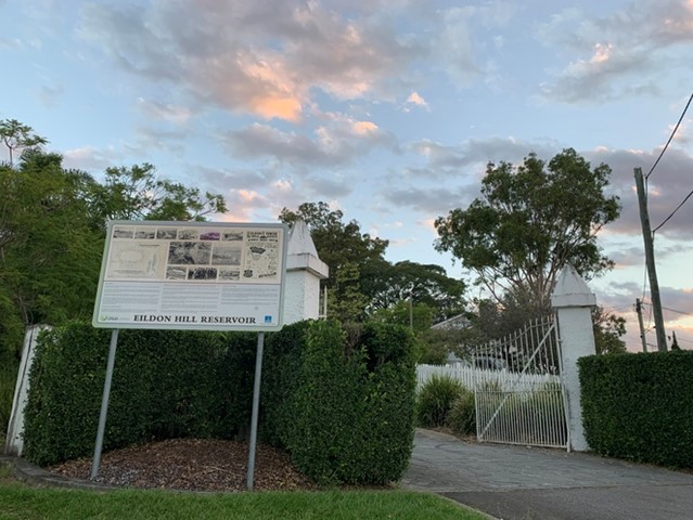
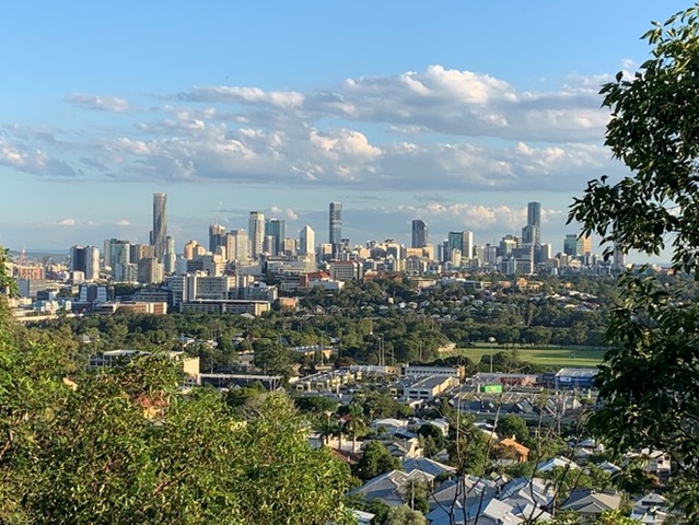
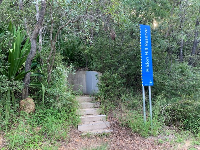
Eildon Hill Reservoir
Eildon Hill Reservoir sits at the summit of Eildon Hill, which is a strategic location for viewing the City, Moreton Bay, the Border Ranges, Cunningham's Gap, Taylor and D'Aguilar Range.
Recently a new lookout has been build as a project to improve the great places in the suburb, make them safer and connect them with the communities, family and friends. There are walking trails on the steep hill of the reservoir, which connect Windsor and Wilston suburbs. The Loop walk is upgraded as well.
https://www.weekendnotes.com/eildon-hill-reserve/192915/