
Menu
Popular Walks
-
Mount Gravatt Summit Track
(106 ticks) -
Billai Dhagun Circuit
(93 ticks) -
Toohey Forest Trailhead to Mt Gravatt Lookout
(88 ticks) -
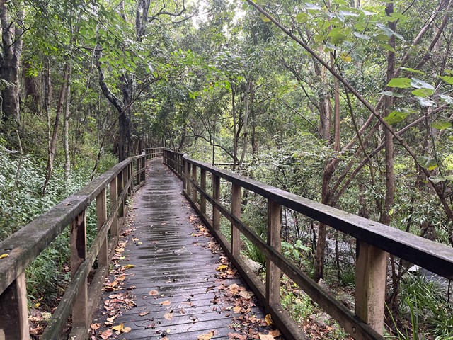
The Cliffs Boardwalk
(65 ticks) -
Tinchi Tamba Wetlands
(65 ticks)
Parent Regions
Summary
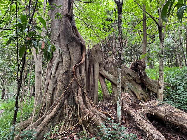
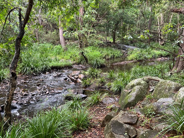
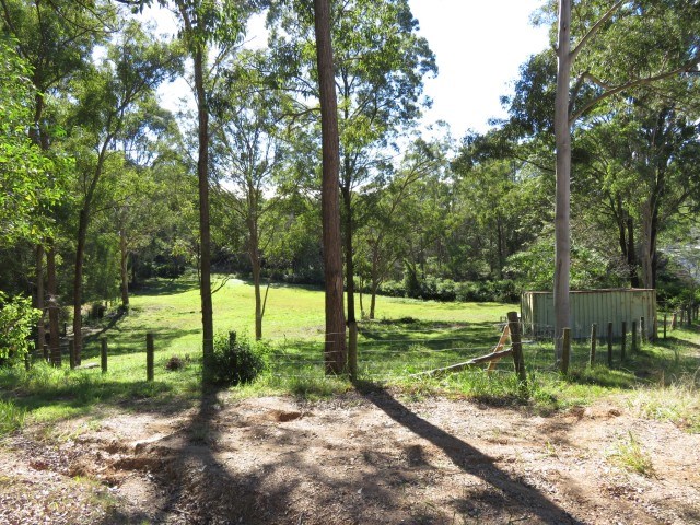
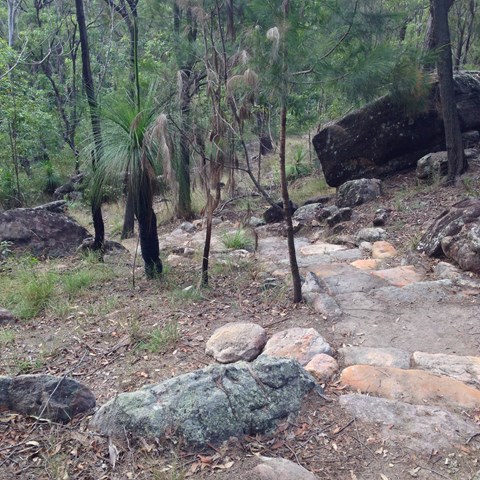
Toohey Forest walk to Mt. Gravatt mountain
Popular Walks
-
Mount Gravatt Summit Track
(106 ticks) -
Billai Dhagun Circuit
(93 ticks) -
Toohey Forest Trailhead to Mt Gravatt Lookout
(88 ticks) -
The Cliffs Boardwalk
(65 ticks) -
Tinchi Tamba Wetlands
(65 ticks)
Parent Regions
History
Features
Amazing rock formations, See what Brisbane bush originally looked liked.
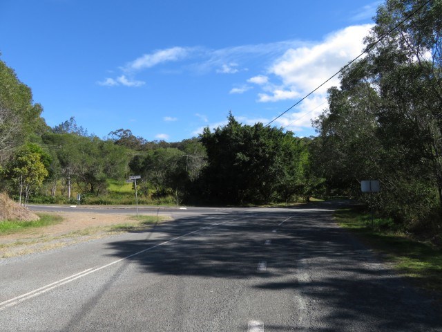
Access
Park at Toohey Forest and many walks lead from there
Maps
Available from Brisbane City Council Website. Downloadable
Accommodation
Camping
No camping permitted in park
Other
Contact details
https://www.brisbane.qld.gov.au/things-to-see-and-do/outdoor-activities/walking-in-brisbane
Walks in Brisbane City Council Local Walks

 13
km
one-way
13
km
one-way
 4
hrs
4
hrs
Enoggera Creek walk
Walk along the Enoggera Creek from the Enoggera Reservoir to Bowen Bridge, where the creek joins Breakfast Creek and Brisbane River. Crossing the suburbs The Gap, Ashgrove, Newmarket, Herston and many of the local parks. Mostly following the Enoggera Creek Bikeway.
 3.6
km
return
1
hr
3.6
km
return
1
hr
Ferny Grove Rail Trail
Brisbane's Ferny Grove Rail Trail, a 1.8km bush track which connects the Samford Valley foothills to Ferny Grove, may be short and lack romantic trimmings such as old stations and railway bridges, but of all the country's rail trails, it distinguishes itself with an infamous and tragic history.
 1.2
km
return
30
mins
1.2
km
return
30
mins
Fitzgibbon Bushland Walk
Remnant bushland pocket in suburb of Fitzgibbon. Accessible by public transport.
2.5
km
return
45
mins
Forest Lake Shore Walk
Shared path around the man-made, 11 hectare lake, surrounded by parklands and public recreational facilities.
 2
km
30
mins
2
km
30
mins
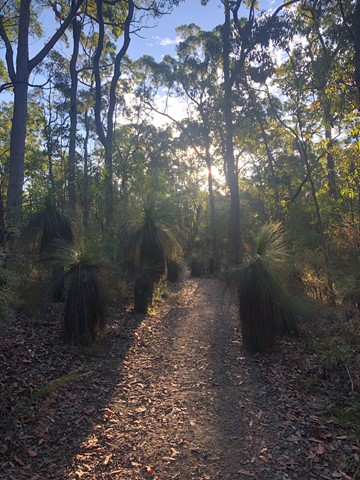
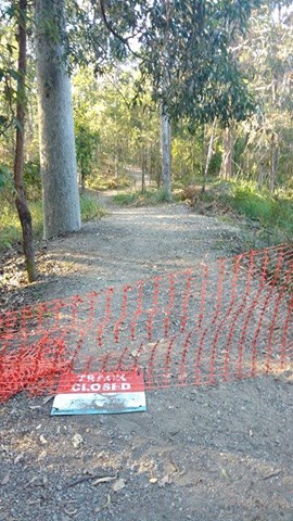
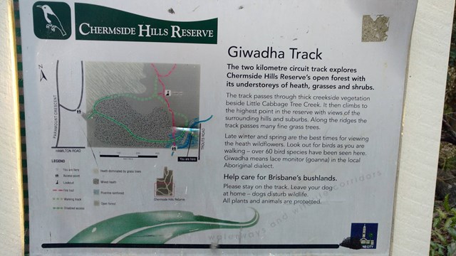
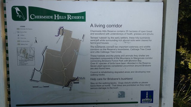
Giwadha Track (Chermside Hills Reserve)
This circuit track explores the Chermside Hills Reserves' open forest with its understorey of heath, grasses and shrubs. The track passes through thick vegetation beside Little Cabbage Tree Creek and climbs to the highest point in the reserve (Spider Hill) with views of the surrounding hills and suburbs.
Grade: medium, steep hills
Suited to: bushwalking, birdwatching, flora walks
Habitat: open eucalypt forest
Must: a sunset or sunrise walk to Spider Hill for amazing views
 3.5
km
return
1
hr
3.5
km
return
1
hr
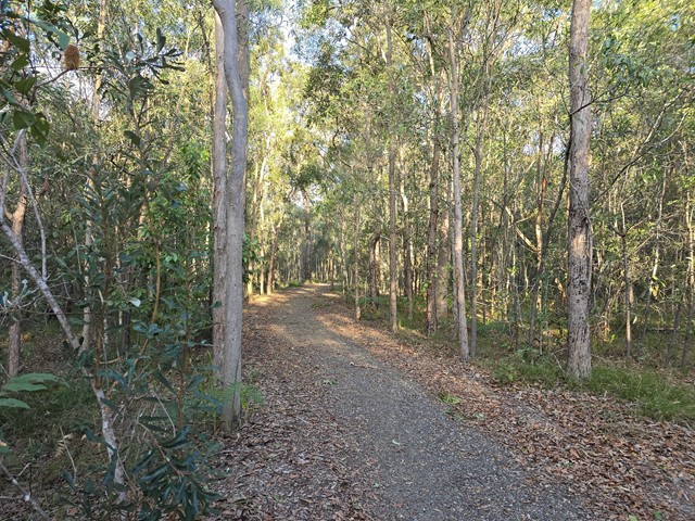
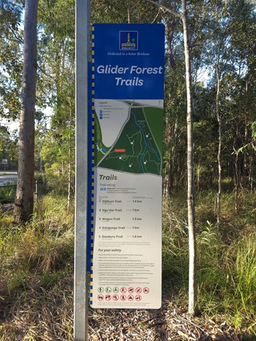
Glider Forest Trails
One of five signed recreational trails within Glider Forest allowing users to access and experience a range of different landscapes, including open eucalypt woodlands and paperbark groves surrounded by small stream-fed billabongs.
 1
km
return
10
mins
1
km
return
10
mins
Grass Tree Track
Beautiful uphill track, starting at the end of Cheval St, Tarragindi, that joins onto the Toohey Ridge Track.
 1.2
km
return
20
mins
1.2
km
return
20
mins
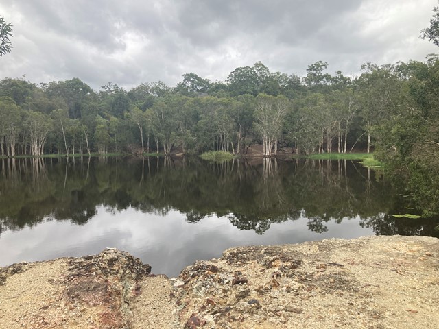
Hemmant Quarry Reserve
Hemmant Quarry Reserve is located on Fleming Road in Hemmant, 11 kilometres east of Brisbane's CBD. The 24 hectare reserve is part of the Bulimba Creek Catchment and contains open eucalypt forest and wetland species around an old quarry that is now a water body and wildlife habitat.
The reserve contains important habitat for a wide array of bird species and other wildlife including koalas.
Visitors can enjoy the reserve through a series of short walking tracks starting from the car park on Fleming Road, Hemmant.
 3
km
one-way
1
hr
3
km
one-way
1
hr
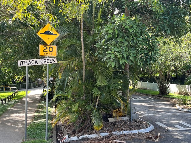
Ithaca Creek Walk
Shared path along the creek, located in local reserves/ parks and a few quiet local streets. Traversing the suburbs of Newmarket, Ithaca and Jubilee. It seems that in early days of settlement, the creek was considered as a freshwater source for Brisbane, before the Enoggera Dam was built.
 7
km
one-way
2
hrs
7
km
one-way
2
hrs
Kedron Brook Walk
Walkway along the Kedron Brook, traversing Grange Heights, Stafford, Gordon Park, Kedron, Toombul. Mostly following the Kedron Brook Bikeway.
Grinstead Park to Toombul Station or reverse.