


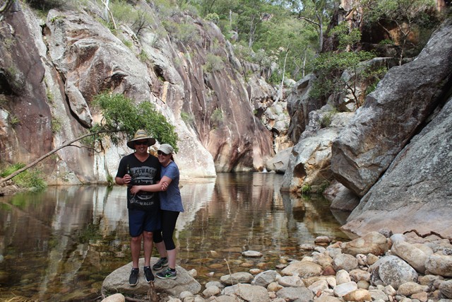
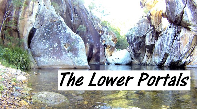
 Lower Portals (KML)
 7.4
7.4 3
3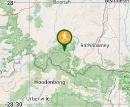
Aussie Bushwalking can keep track of your bushwalks.
Login/signup to tick this walk off.Lower Portals
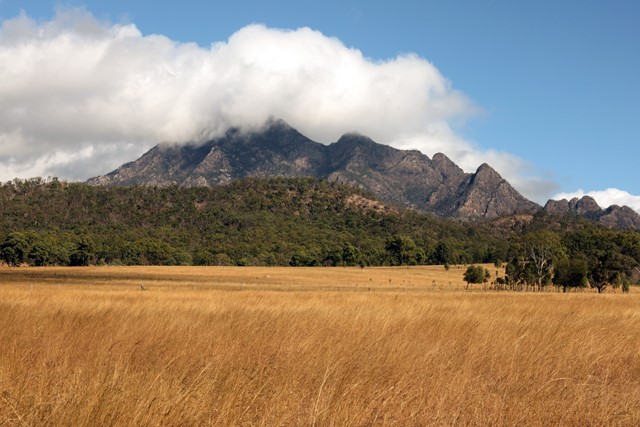
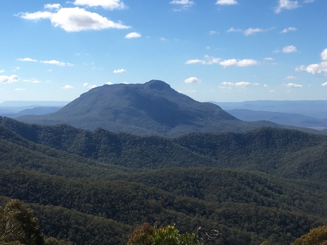
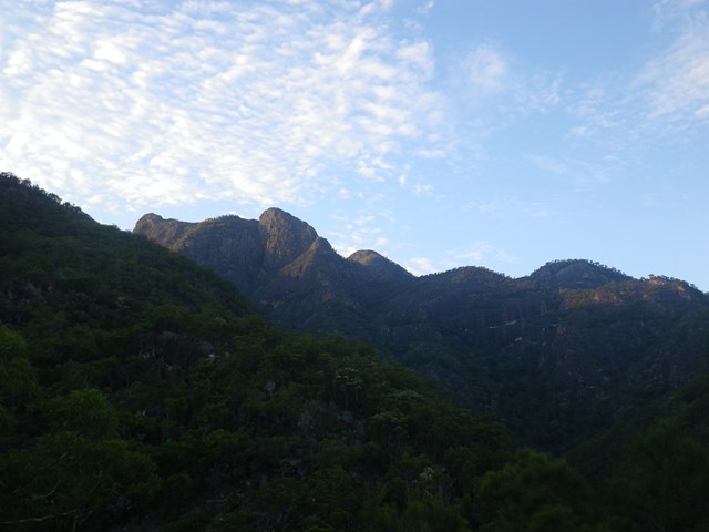
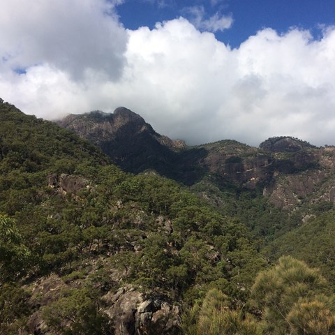
Mt Barney National Park
Menu
GPS Tracks


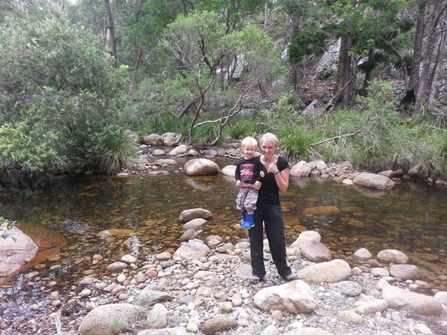


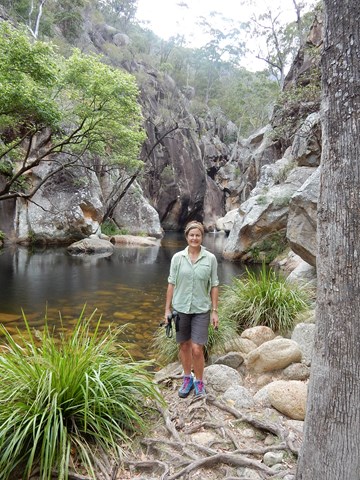


This was my first overnight hike. It was challenging, but not ridiculous. A good beginners walk.
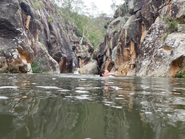
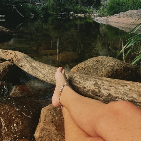
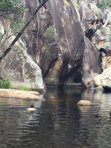
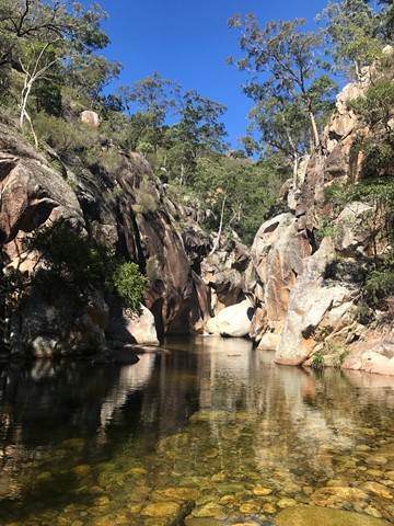
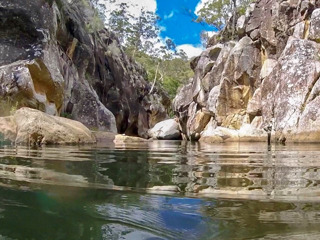
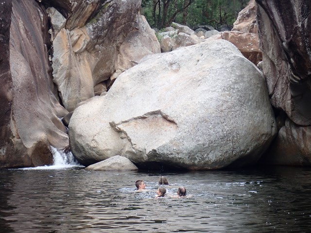
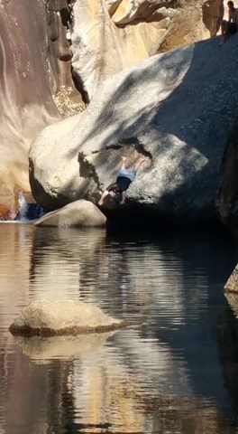
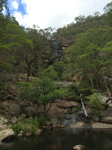
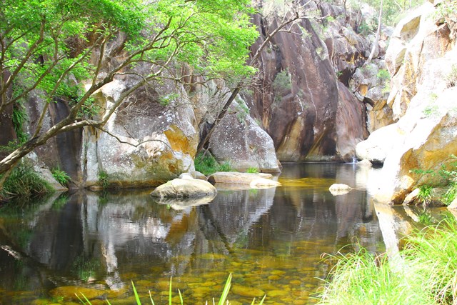
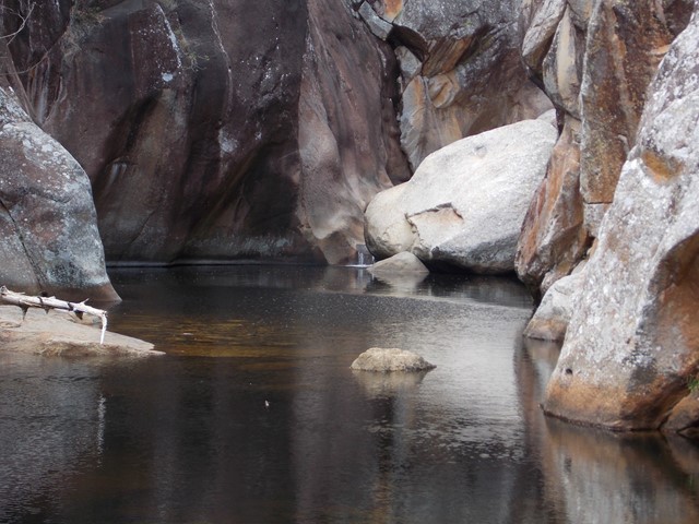
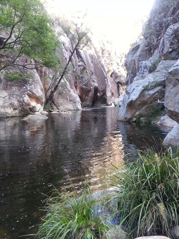
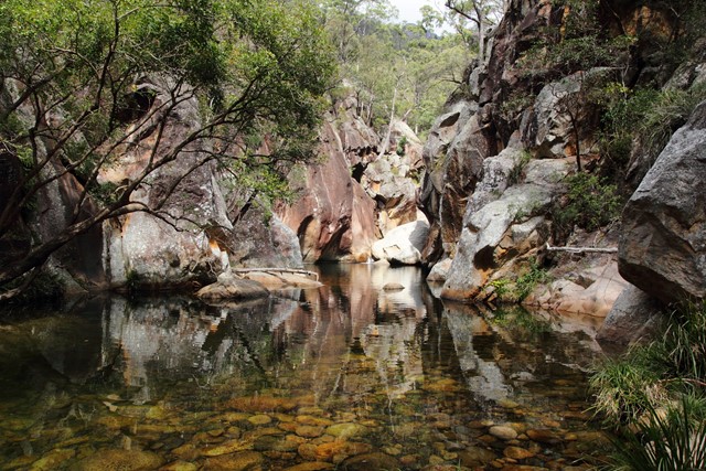
I highly recommend going for a dip in the creek even in Winter. It was like an ice bath for my tired muscles.
Swimming
No Dogs Permitted
Camping Permitted
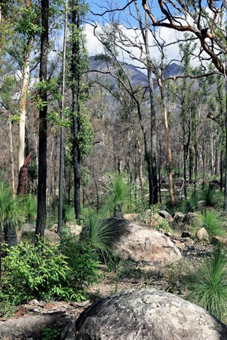
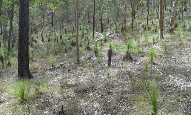
Eucalypt Forest
332m
Maximum Elevation
294m
Total Climb
Getting there:
Travel south from Rathdowney on the Mount Lindesay Highway and turn right onto the Boonah-Rathdowney Road (R93). Turn left down Upper Logan Road and right onto Seidenspinner Road. Take the first left down Lower Portals Road where the car park is at the end of the road.
Maps:
Route/Trail notes:
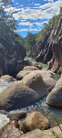
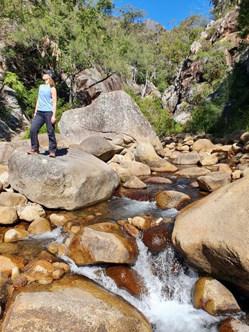
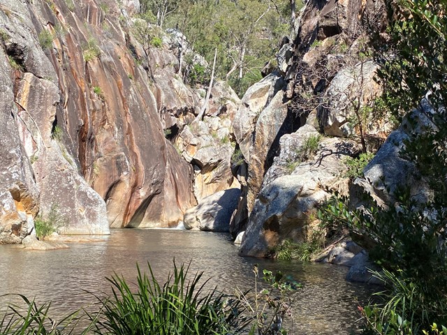
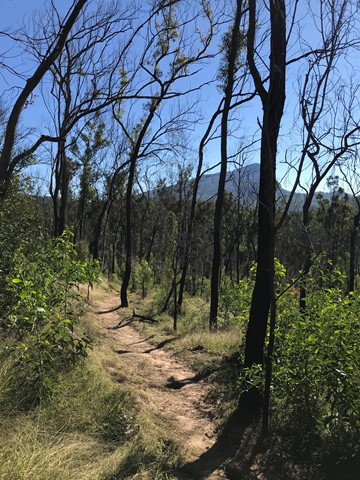
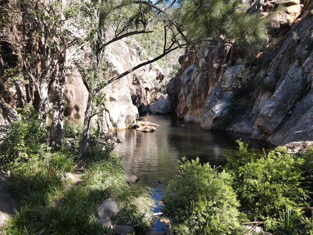
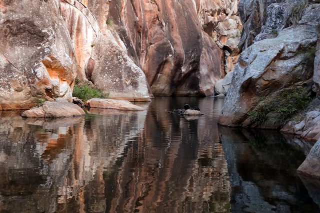
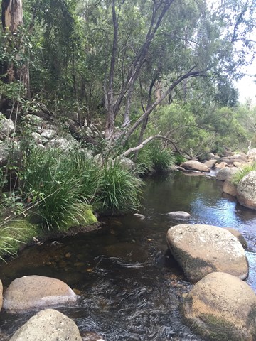
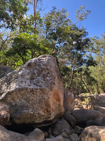
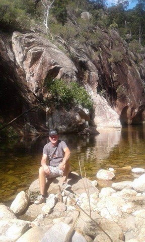
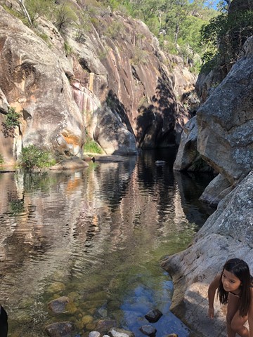
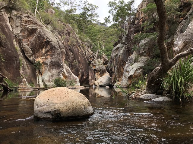
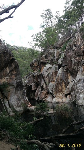
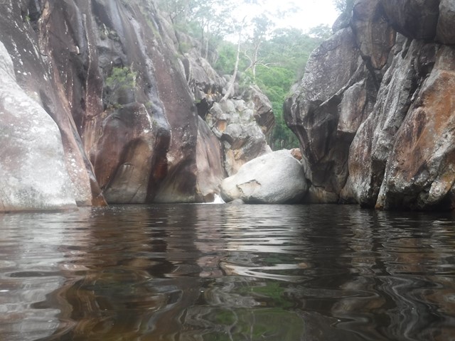
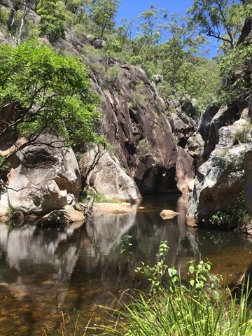
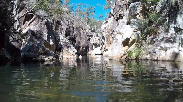
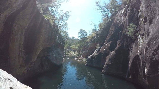
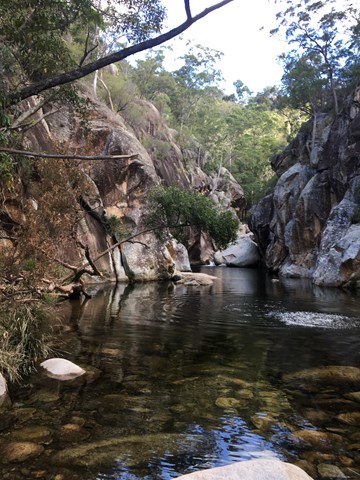
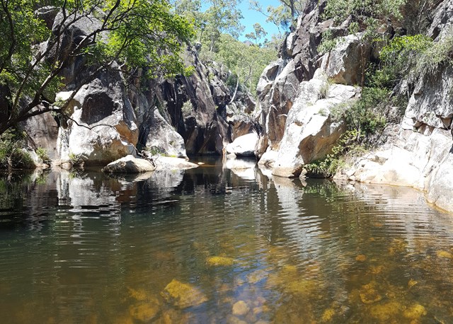
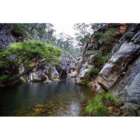
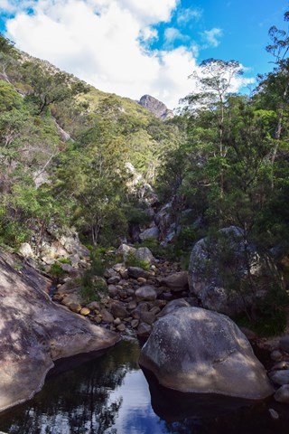
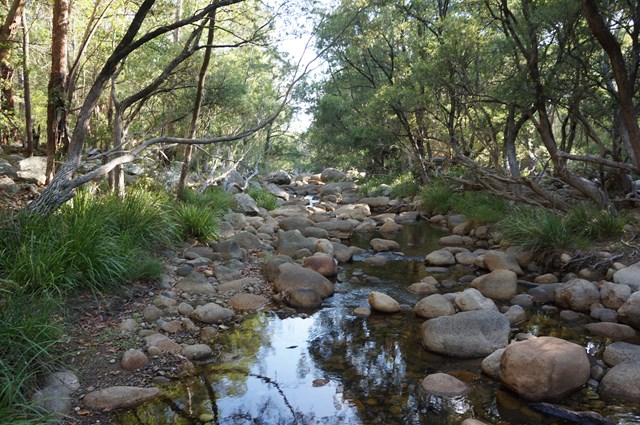
The walk has moderate to steep grading and at times becomes quite challenging. It mainly consists of walking up and down ridges before it comes to the small stream containing the Lower Portals. It takes approximately 3 hours return from the car park on Lower Portals Rd.
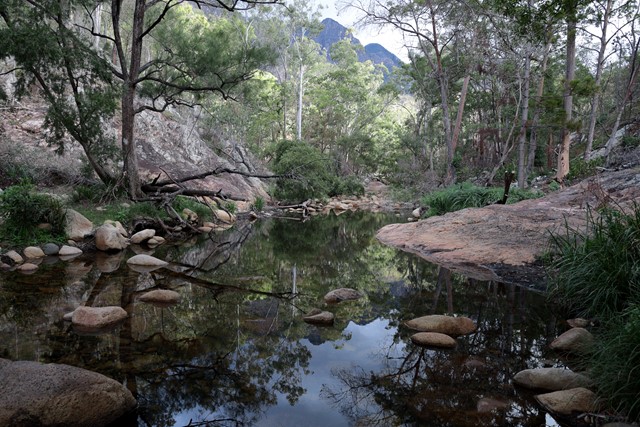
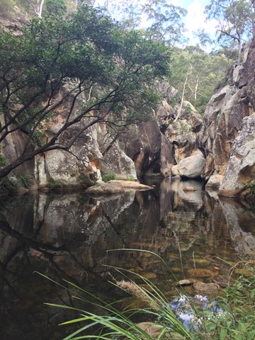
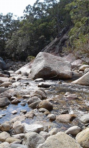
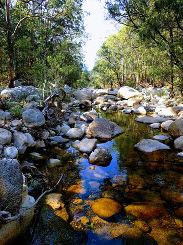
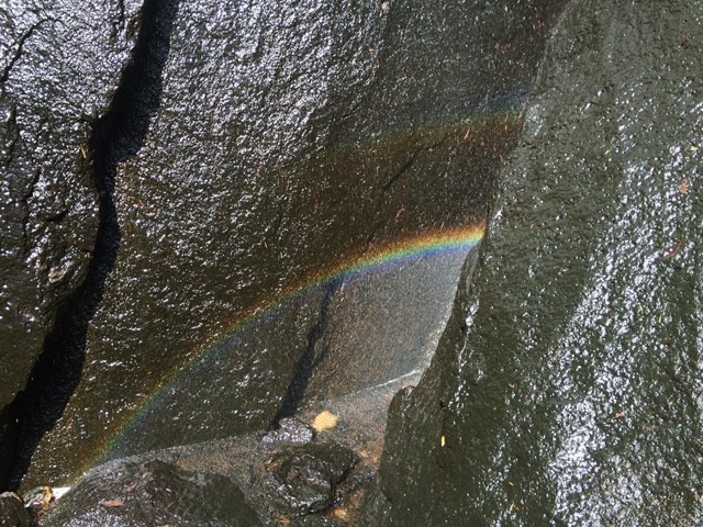
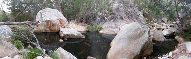
Upstream from the first crossing, say 1km you can follow a steep track up and over a ridge (500mtrs) back down to the stream where there is fabulous scenery everywhere. and from there you can slowly make your way to Mt Barney Falls about 700mtrs on the left of the creek (when heading up from the lower portals). Appears only after a bit of rain. If it has been dry I'd say it would just look like a cliff. There are signs of water that show it's there if you happen to come across it when it's dried up. Would be amazing to see tho after a good downpour as the area this waterfall takes up is massive.
Permits/Costs:
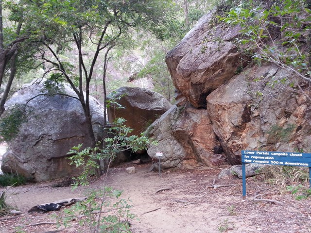
None. There are very limited camping spots at the end of the walk near the Lower portals and permits are required to make use of them.
Other References/Comments:
None provided.
Comments