
Menu
Popular Walks
-
Walsh's Pyramid
(66 ticks) -
Barron Falls Lookout
(59 ticks) -
Mount Bartle Frere - Eastern Approach
(49 ticks) -
Josephine Falls
(45 ticks) -
Rainforest Circuit
(36 ticks)
Summary
The Northern Most point in QLD.
Popular Walks
-
Walsh's Pyramid
(66 ticks) -
Barron Falls Lookout
(59 ticks) -
Mount Bartle Frere - Eastern Approach
(49 ticks) -
Josephine Falls
(45 ticks) -
Rainforest Circuit
(36 ticks)
Parent Regions
Sub-Regions
History
Any interesting history for the region?
Features
What are the standout bushwalking features?
Access
How do you get there? Include all access points if there are many?
Maps
Which maps cover the region?
Accommodation
Where can I stay there? or near there?
Camping
Council Areas:
- Burke Shire
- Doomadgee Aboriginal Shire
- Capentaria Shire
- Croydon Shire
- Mareeba Shire
- Etheridge Shire
- Tablelands Reginoal
- Cassowary Coast Regional
- Cairns Regional
- Douglas Shire
- Cook Shire
- Aurukun Shire
- Torres Shire
- Lockhart Reiver Aboriginal Shire
Contact details
Contact details for National Park offices or similar...
Walks in Wooroonooran National Park

 4
km
return
4
km
return
 1
hr
1
hr
North Johnstone River Lookout
Along the Palmerston Highway this walk offers spectacular views of the North Johnstone River
 1.4
km
return
45
mins
1.4
km
return
45
mins
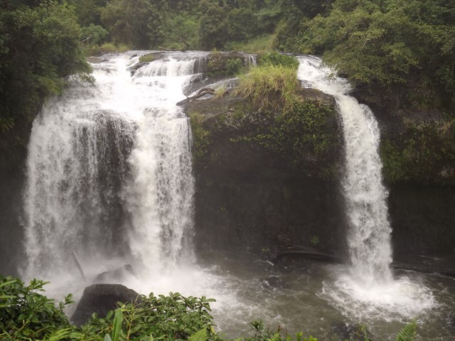
Tchupala Falls
Beautiful, short track through to Tchupala falls via rainforest.
 1.4
km
return
45
mins
1.4
km
return
45
mins
Wallicher Falls
Fantastic, short, easy walk to Wallicher Falls. Tchupala Falls is off the same track so do both while you're here.
 6.2
km
return
7
hrs
6.2
km
return
7
hrs
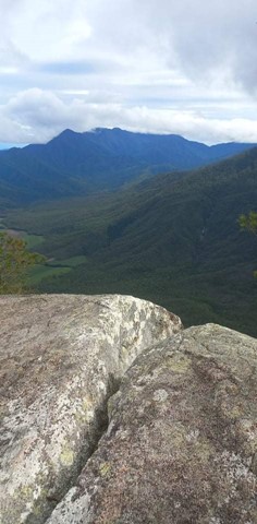
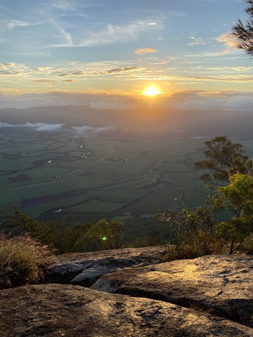
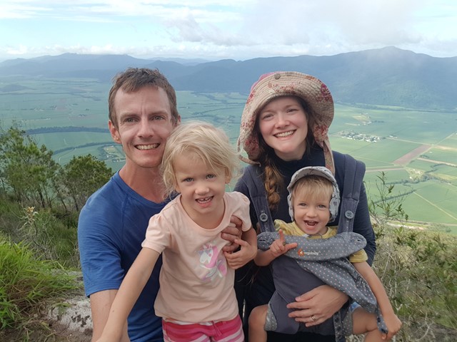
Walsh's Pyramid
A very steep walk up the highest free standing pyramid in the world. You start at 20 metres, to the top at 884 metres.
 11
km
return
2.75
hrs
11
km
return
2.75
hrs
Windin Falls Tail
Wonderful walk to the top of the epic Windin Falls. Approximately 90mins each way from the car park. 11kms return.
Access is via Gourka Road, which is off Topaz Road, out from Malanda. You will see signs to both Windin Falls and Battle-Frere Western Approach. Head to the left, following Windin Falls signage.
The track is pretty easy, a couple of inclines but not too steep. One steep section, not very long, when you are approaching the creek/falls.
Rainforest landscape. Be aware of leeches.
This was a bloody fantastic walk with a stunning valley view. Highly recommend.