
Menu
Popular Walks
-
Walsh's Pyramid
(66 ticks) -
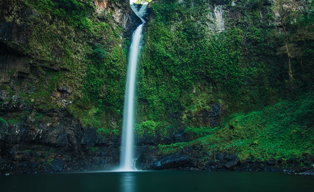
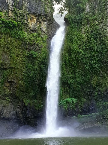
Barron Falls Lookout
(59 ticks) -
Mount Bartle Frere - Eastern Approach
(49 ticks) -
Josephine Falls
(45 ticks) -
Rainforest Circuit
(36 ticks)
Summary
The Northern Most point in QLD.
Popular Walks
-
Walsh's Pyramid
(66 ticks) -
Barron Falls Lookout
(59 ticks) -
Mount Bartle Frere - Eastern Approach
(49 ticks) -
Josephine Falls
(45 ticks) -
Rainforest Circuit
(36 ticks)
Parent Regions
Sub-Regions
History
Any interesting history for the region?
Features
What are the standout bushwalking features?
Access
How do you get there? Include all access points if there are many?
Maps
Which maps cover the region?
Accommodation
Where can I stay there? or near there?
Camping
Council Areas:
- Burke Shire
- Doomadgee Aboriginal Shire
- Capentaria Shire
- Croydon Shire
- Mareeba Shire
- Etheridge Shire
- Tablelands Reginoal
- Cassowary Coast Regional
- Cairns Regional
- Douglas Shire
- Cook Shire
- Aurukun Shire
- Torres Shire
- Lockhart Reiver Aboriginal Shire
Contact details
Contact details for National Park offices or similar...
Walks in Fitzroy Island National Park

 3.6
km
return
3.6
km
return
 2
hrs
2
hrs
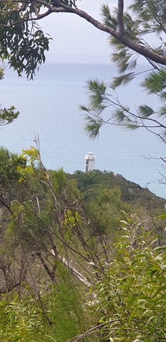
Lighthouse Road
Follow the steep, concrete service road as it climbs through rainforest to the old lighthouse. From the lighthouse, enjoy spectacular ocean views and in winter look for the occasional migrating humpbackwhale.
 1.2
km
return
45
mins
1.2
km
return
45
mins
Nudey Beach Track
Venture through rainforest and coastal woodlands, along the bitumen track with uneven rock steps and boulders in some sections, to reach this picturesque, iconic beach. Swim and snorkle at Nudey Beach or just settle in the shade with your picnic lunch.
700
m
return
25
mins
Secret Garden Track
On this short rocky track through sheltered rainforest, discovery some of the rainforest animals and plants. Learn about their secrets and their significance to the Gunggandji people. This track includes some uneven rock steps.
 4
km
return
3
hrs
4
km
return
3
hrs
Summit Track
Track to the summit of Fitzroy Island with fantastic 360 degree views at the top. It’s a 3.6km return track (375m) and requires moderate level of fitness due to steepness. Track is located within Fitzroy Island National Park.
Walks in Wooroonooran National Park
19.5
km
one-way
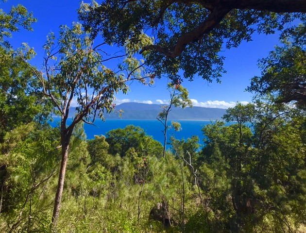
Goldfield Trail
The Goldfield trail follows a 19 km historic path through the rainforest of Wooroonooran National Park. It crosses numerous picturesque creeks and climbs over a low saddle between Queensland’s two highest peaks, Bartle Frere and Bellenden Ker.
1.6
km
return
1
hr
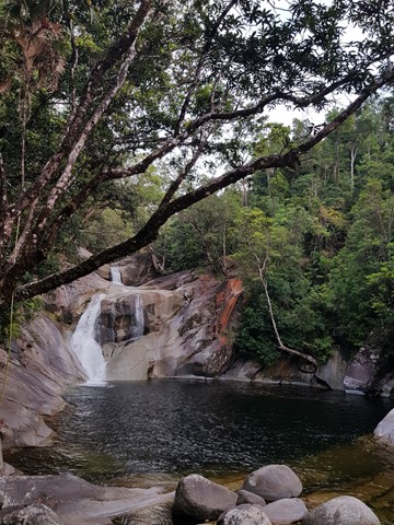
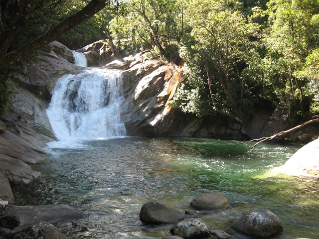
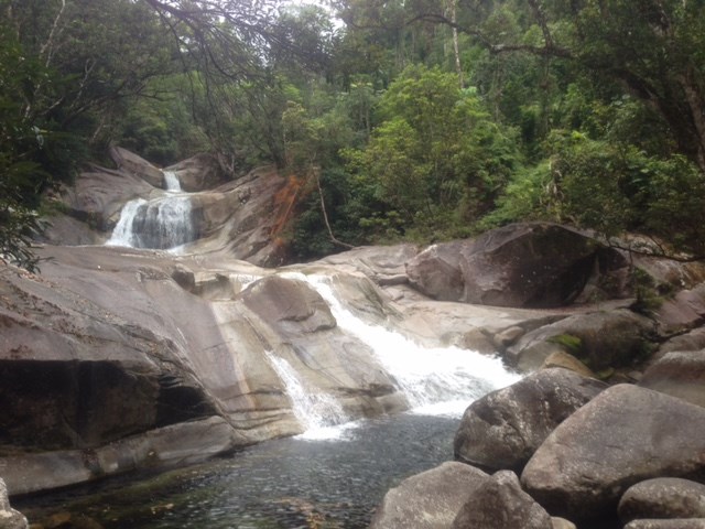
Josephine Falls
A short walk through Wooroonooran National Rainforest along a small creek that leads to the base of the Josephine Falls and a natural waterslide.
 3
km
return
90
mins
3
km
return
90
mins
Mamu Tropical Skywalk
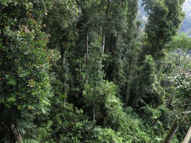
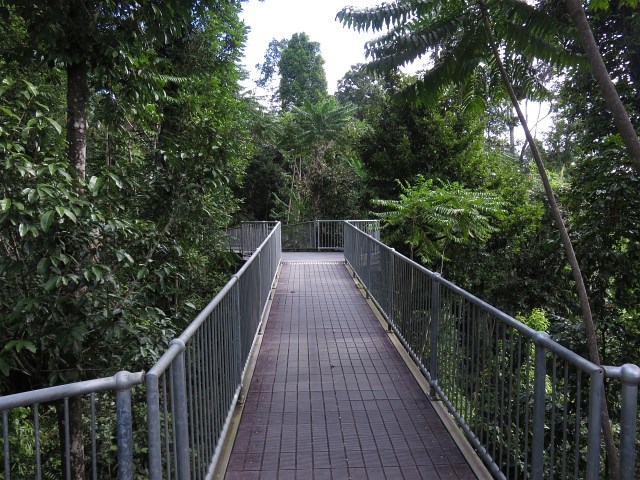
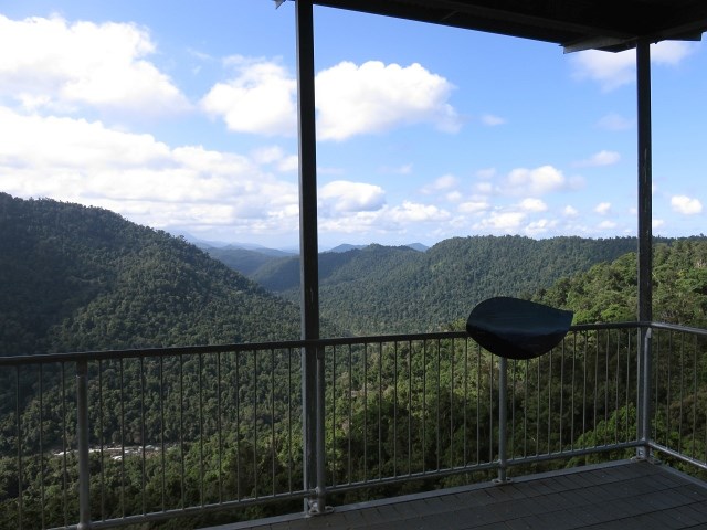
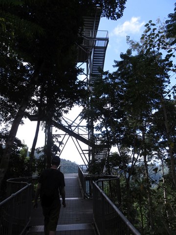
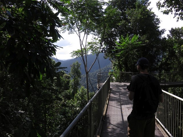
Take a walk in the clouds in Wooroonooran National Park just 15 minutes out of Innisfail. Elevated walkways, a cantilever, and observation tower offer visitors the exhilarating experience of being high in the rainforest canopy, along with providing spectacular panoramic views of World Heritage rainforest landscapes.
 15
km
return
12
hrs
15
km
return
12
hrs
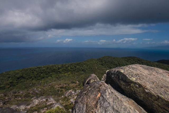
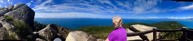
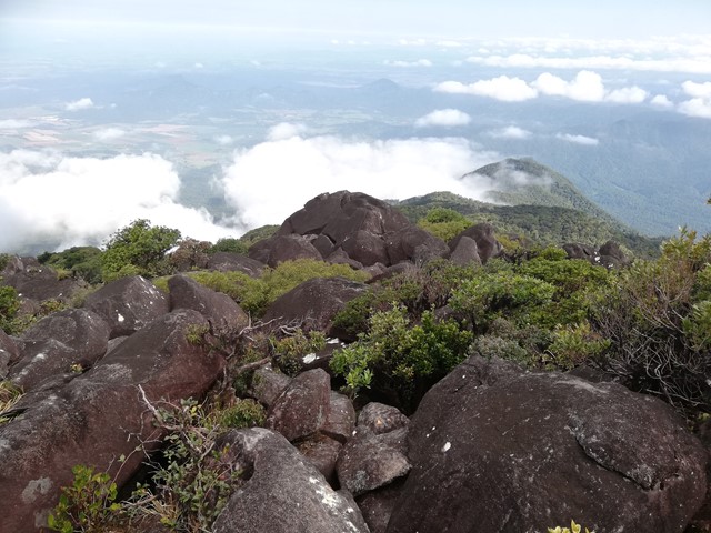
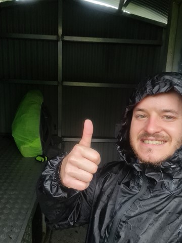
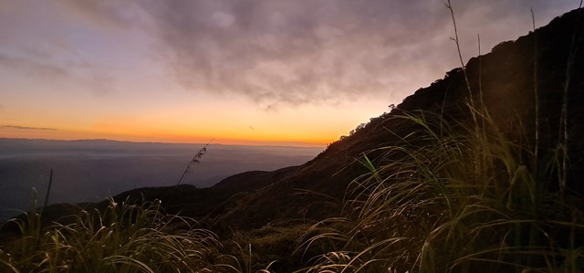
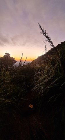
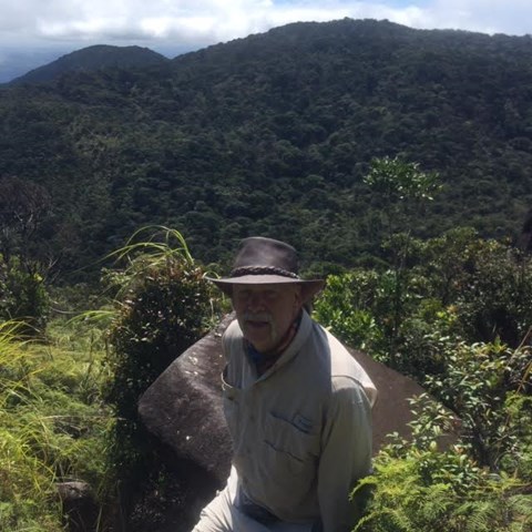
Mount Bartle Frere - Eastern Approach
Mount Bartle Frere is Queensland's highest mountain. The eastern approach is a serious undertaking - after the Hannel Spur route up Mount Kosciuszko (1,800m elevation gain), it has the second most elevation gain of any summit in Australia (1,500m). Objective hazards include the boulder field below the summit which, due to the fact that orographic lifting means that the summit spends the majority of time in the cloud, is usually wet and slippery.
 16
km
return
12
hrs
16
km
return
12
hrs
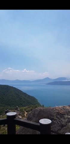
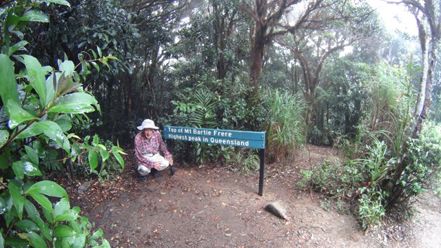
Mt Bartle Frere - Western Approach
Climb to the summit of Queensland's highest mountain (1,622m) provides a challenging way to explore this part of the World Heritage-listed rainforest of the Bellenden Ker Range. This is not a race, so allow yourself two days to walk (recommended), climb and enjoy this trail. The fabulous summit views include the township of Innisfail and the coast to the east, and to the west, the undulating landscape of the Atherton Tableland.
 4.5
km
return
90
mins
4.5
km
return
90
mins
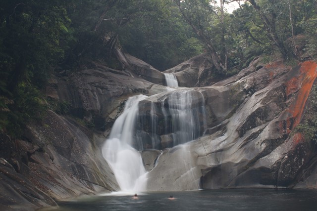
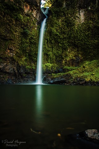
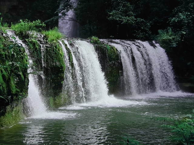
Nandroya Falls
Nandroya Falls is a spectacular 50m waterfall along Douglas Creek that drops from a basalt parapet. The walk takes you through thick jungle rainforest with lots to see and avoid.